The best running trails around Giebel
4.5
(144)
2,622
runners
265
runs
Jogging around Giebel offers diverse terrain within the Allgäu Alps, characterized by grass mountains and rocky peaks. The region features alpine streams, moorland, and clear mountain lakes, providing varied backdrops for running. Routes often traverse deep valleys and include a mix of paved surfaces, unmade paths, and farm tracks. This varied landscape provides options for different running experiences, from gentle paths to more challenging trails with elevation changes.
Best jogging routes around Giebel
- The most popular jogging route is Running…
Last updated: August 8, 2026
10
runners
8.69km
00:54
20m
20m
Moderate run. Good fitness required. Mostly paved surfaces. Suitable for all skill levels.
8
runners
5.99km
00:39
10m
20m
Moderate run. Good fitness required. Mostly paved surfaces. Suitable for all skill levels.

Sign up for free
9
runners
11.5km
01:12
10m
10m
Moderate run. Good fitness required. Mostly paved surfaces. Suitable for all skill levels.
5.0
(1)
5
runners
12.5km
01:18
30m
30m
Moderate run. Good fitness required. Mostly paved surfaces. Suitable for all skill levels.
4.0
(1)
8
runners
4.43km
00:27
10m
10m
Easy run. Great for any fitness level. Mostly paved surfaces. Suitable for all skill levels.
Get access to more routes and recommendations from other explorers.
Sign up for free
Already have an account?
Our route recommendations are based on thousands of hikes, rides, and runs completed by other people on komoot.
Start today with a free account
Your next adventure awaits.
Login or Signup
Tips from the Community

The Wendschott Canal Bridge (officially often referred to as Bridge 440) is a distinctive structure in Wolfsburg that crosses the Mittelland Canal. It is of particular importance for walkers, cyclists, and tourists, as it represents a central connection between the Wendschott district and the recreational area around the Allersee.
0
0
The canal was the decisive reason why the Volkswagen factory was built precisely here at the end of the 1930s. It enabled the cost-effective transport of coal for its own power plant, as well as the shipment of vehicles and components. Even today, the VW power plant with its four distinctive chimneys directly on the canal bank shapes the city's skyline.
0
0

The restaurant is a nice destination for a bike ride along the Mittelland Canal.
1
0
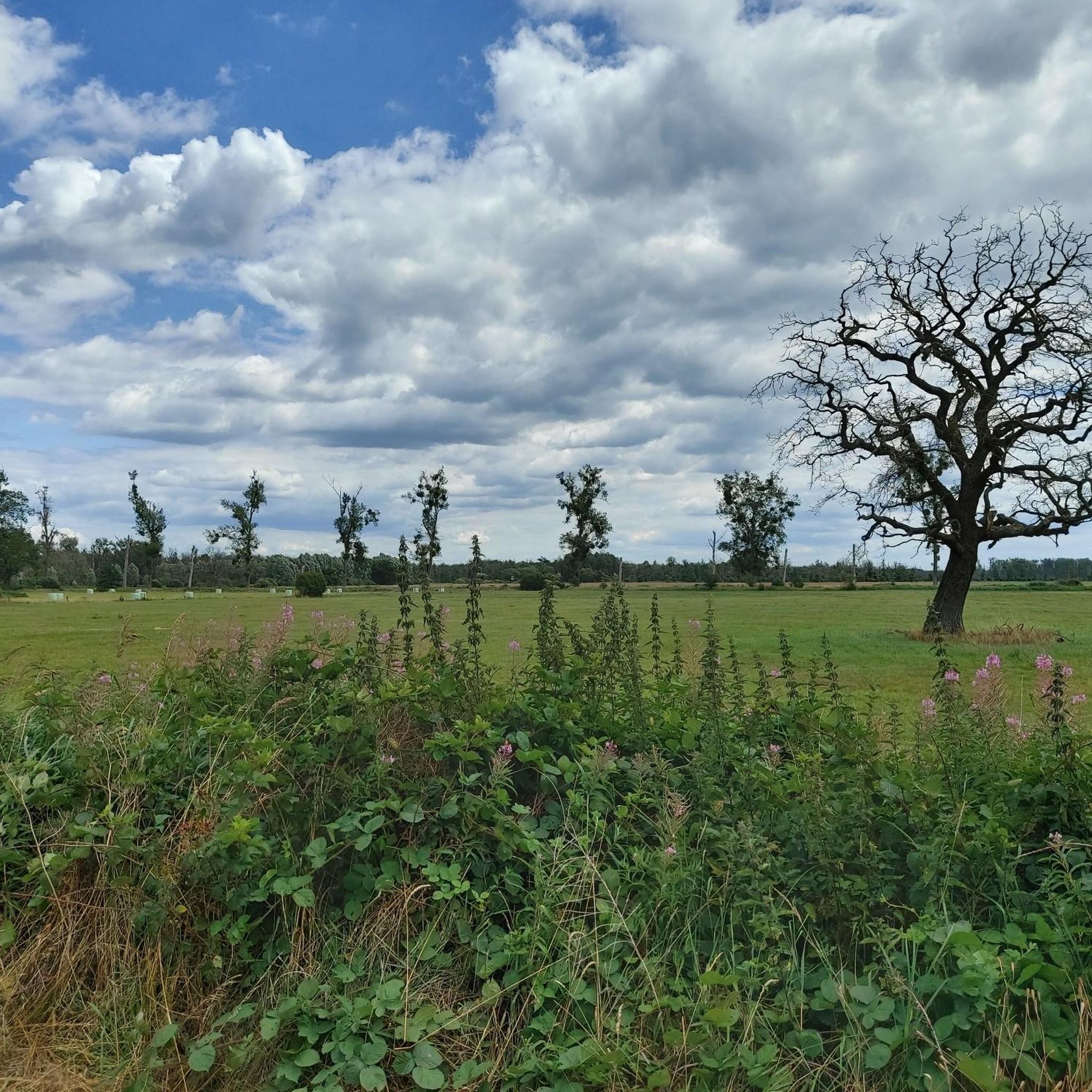
The Drömling is a sparsely populated lowland area of around 340 km² on the border between Lower Saxony and Saxony-Anhalt. Today, the lowland with the Mittelland Canal and the rivers Aller and Ohre is a refuge for rare or endangered animal and plant species. It consists mostly of nature and landscape conservation areas. Nearby towns are Klötze, Oebisfelde-Weferlingen, Gardelegen and Wolfsburg.
0
0
Rühen is a municipality in the district of Gifhorn in the east of Lower Saxony. The municipality of Rühen is a member municipality of the Brome collective municipality and is located on the B 244 in the immediate vicinity of the city of Wolfsburg. Rühen has a disused train station and tracks that were disused in 2005 and were used by the Wittingen-Oebisfelde Kleinbahn GmbH and from 1944 by the OHE (Osthannoversche Eisenbahnen).
0
0

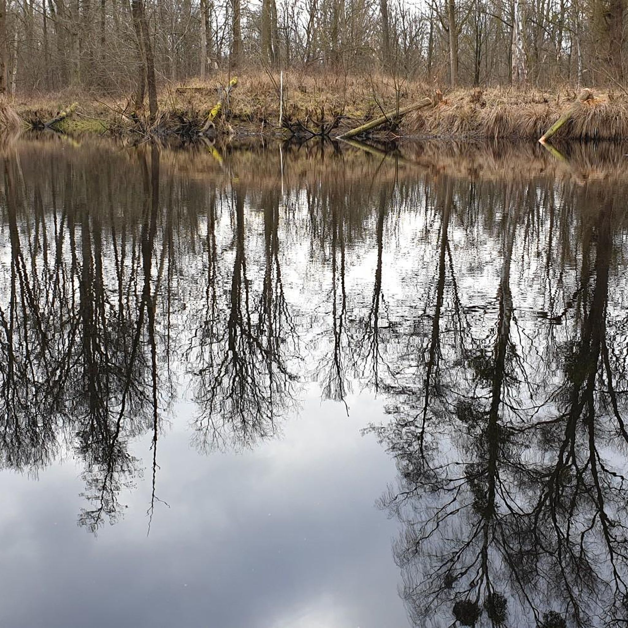
View from the Wendschotter Bridge in the direction of Rühen
1
0

Great restaurant right on the Mittelland Canal
4
1
Frequently Asked Questions
How many running routes are available around Giebel?
The Giebel area offers a wide selection of running routes, with over 270 trails available on komoot. These routes cater to various preferences, from easy jogs to more challenging runs.
What kind of terrain can I expect on running trails near Giebel?
Jogging around Giebel, nestled in the Allgäu Alps, features diverse terrain. You'll encounter steep grass mountains and rocky peaks, alpine streams, moorland, and clear mountain lakes. Routes often traverse deep valleys and include a mix of paved surfaces, unmade paths, and farm tracks, providing varied running experiences.
Are there easy running routes suitable for beginners in Giebel?
Yes, Giebel offers a good selection of easier running paths. There are 45 routes specifically rated as 'easy' on komoot, perfect for beginners or those looking for a more relaxed run. An example is the Running loop from Parsau, which is 4.4 km long with minimal elevation change.
Can I find longer running trails for more challenging runs in the Giebel area?
Absolutely. For runners seeking more challenging experiences, Giebel provides 38 difficult routes and 190 moderate routes. These trails often feature greater elevation changes and varied terrain, characteristic of the Allgäu Alps. Routes like the Wendschott Canal Bridge loop from Rühen, at over 12 km, offer a good distance for a longer run.
What natural features will I encounter on running trails in Giebel?
The running trails in Giebel are rich in natural beauty. You can expect to see impressive landscapes with steep grass mountains, rocky peaks, and tranquil deep valleys. Many routes also pass by alpine streams, moorland, and clear mountain lakes, offering refreshing views and diverse ecosystems. The region is also known for its rich Alpine flora and fauna, especially within areas like the Allgäu High Alps Nature Reserve.
Are there any scenic landmarks or attractions to see while jogging near Giebel?
While jogging around Giebel, you can encounter several interesting sights. Depending on your chosen route, you might pass by historical sites like Border Trail and Memorial at Böckwitz-Zicherie, or natural highlights such as the Aller Lake (Allerpark, Wolfsburg). Other notable attractions include Wolfsburg Castle and the unique Velpker Schweiz Sandstone Quarries.
Are the running trails around Giebel suitable for families?
Yes, many of the running trails around Giebel are suitable for families, especially the easier and moderate routes. The varied terrain and scenic natural features, including alpine streams and lakes, can make for an enjoyable outdoor experience for all ages. It's advisable to check the difficulty rating and distance of specific routes on komoot to ensure they match your family's fitness level.
What do other runners say about the jogging routes in Giebel?
The running routes in Giebel are highly regarded by the komoot community, boasting an average rating of 4.6 stars from over 120 reviews. More than 2,300 runners have explored the area using komoot, often praising the diverse terrain, scenic views, and the extensive network of trails that cater to various abilities.
Are there circular running routes around Giebel?
Yes, many of the running routes in the Giebel area are designed as loops, offering convenient circular paths. Examples include the popular Running loop from Rühen and the Junction 12 in Rühen loop from Rühen, allowing you to start and finish at the same point without retracing your steps.
Is parking available near the running trails in Giebel?
While specific parking locations for every trail are not detailed, the region around Giebel, including areas like the Giebelhaus (reachable by road from Hinterstein) and various villages, serves as starting points for numerous trails. It is generally expected that parking facilities are available in these gateway areas, though it's always good to check local signage upon arrival.
How can I reach the running routes around Giebel using public transport?
Villages such as Hinterstein serve as key gateways to the extensive trail network around Giebel. These villages often have public transport connections, which can provide access to various starting points for your running adventures. It's recommended to check local bus schedules to plan your journey to these access points.
Are there places to eat or drink near the running routes in Giebel?
Yes, after a refreshing run, you can find options for food and drink. The Alpine hut of Giebelhaus, northeast of the Giebel mountain, is a notable spot. Additionally, the Restaurant Jorgos on the Mittelland Canal in Rühen is an option near some of the listed routes, offering a place to refuel.
Most popular attractions around Giebel

Get inspired with the komoot mobile app


Explore more
Browse the best Running Trails & Routes in other regions.
