The best mountain hikes around Saerbeck
5.0
(3)
16
hikers
4
hikes
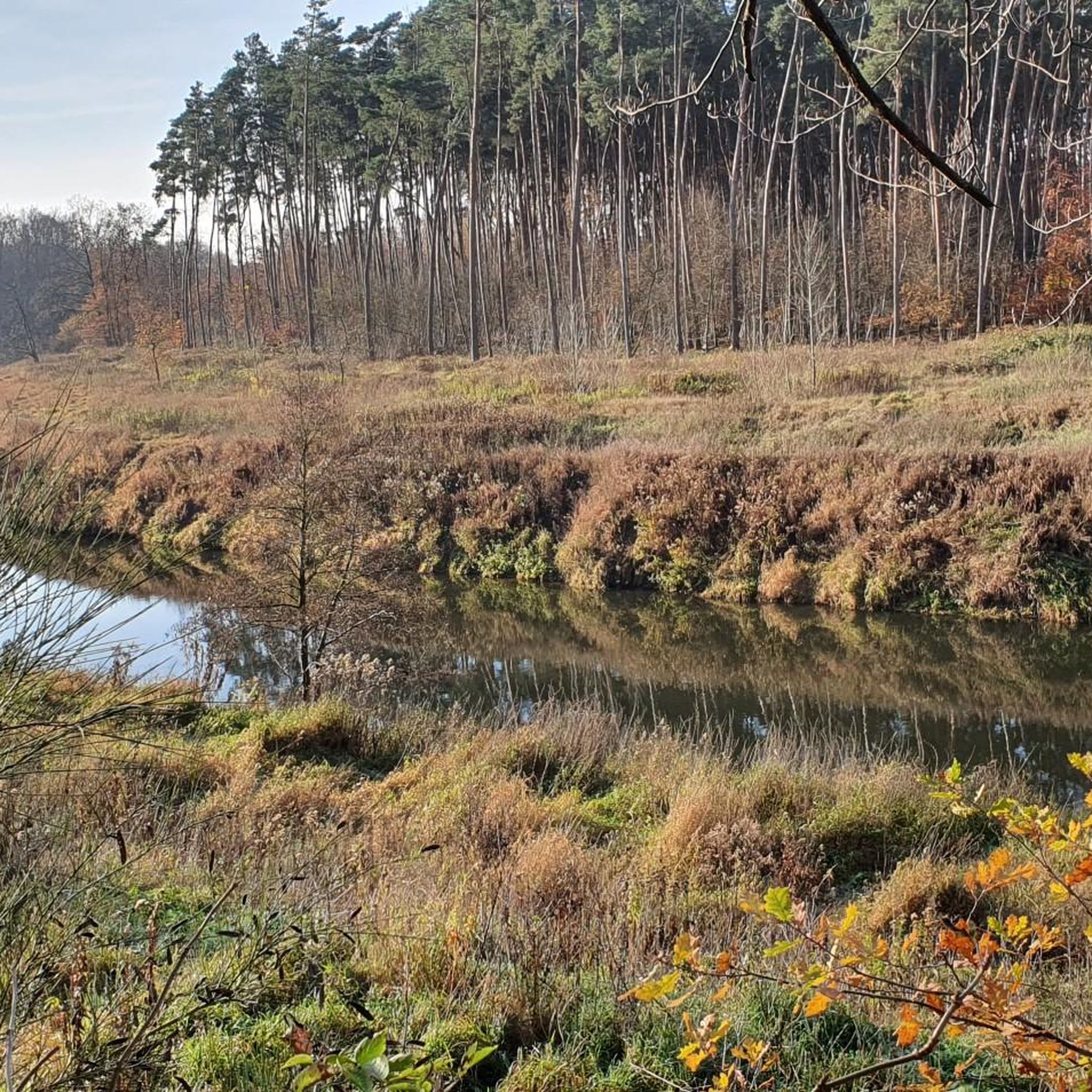
Mountaineering routes around Saerbeck primarily explore the varied terrain surrounding the town, which, while generally flat, offers engaging "mountain hikes" in nearby areas. The region features green meadows, forests, and the impressive Dörenther Cliffs, characterized by sandstone formations up to 40 meters high. Hilly landscapes around Tecklenburg also provide more challenging topography for outdoor activities. These areas offer a mix of rugged paths and scenic trails suitable for mountaineering.
Best mountaineering routes around Saerbeck
- The most popular mountaineering route is…
Last updated: July 6, 2026
6
hikers
8.32km
02:20
160m
160m
Moderate mountaineering route. Good fitness required. Easily-accessible paths. Suitable for all skill levels.
5.0
(1)
4
hikers
21.2km
05:57
400m
400m
Hard mountaineering route. Very good fitness required. Mostly accessible paths. Sure-footedness required.

Sign up for free
5.0
(1)
5
hikers
Moderate mountaineering route. Good fitness required. Easily-accessible paths. Suitable for all skill levels.
5.0
(1)
1
hikers
Moderate mountaineering route. Good fitness required. Easily-accessible paths. Suitable for all skill levels.
Our route recommendations are based on thousands of hikes, rides, and runs completed by other people on komoot.
Start today with a free account
Your next adventure awaits.
Login or Signup
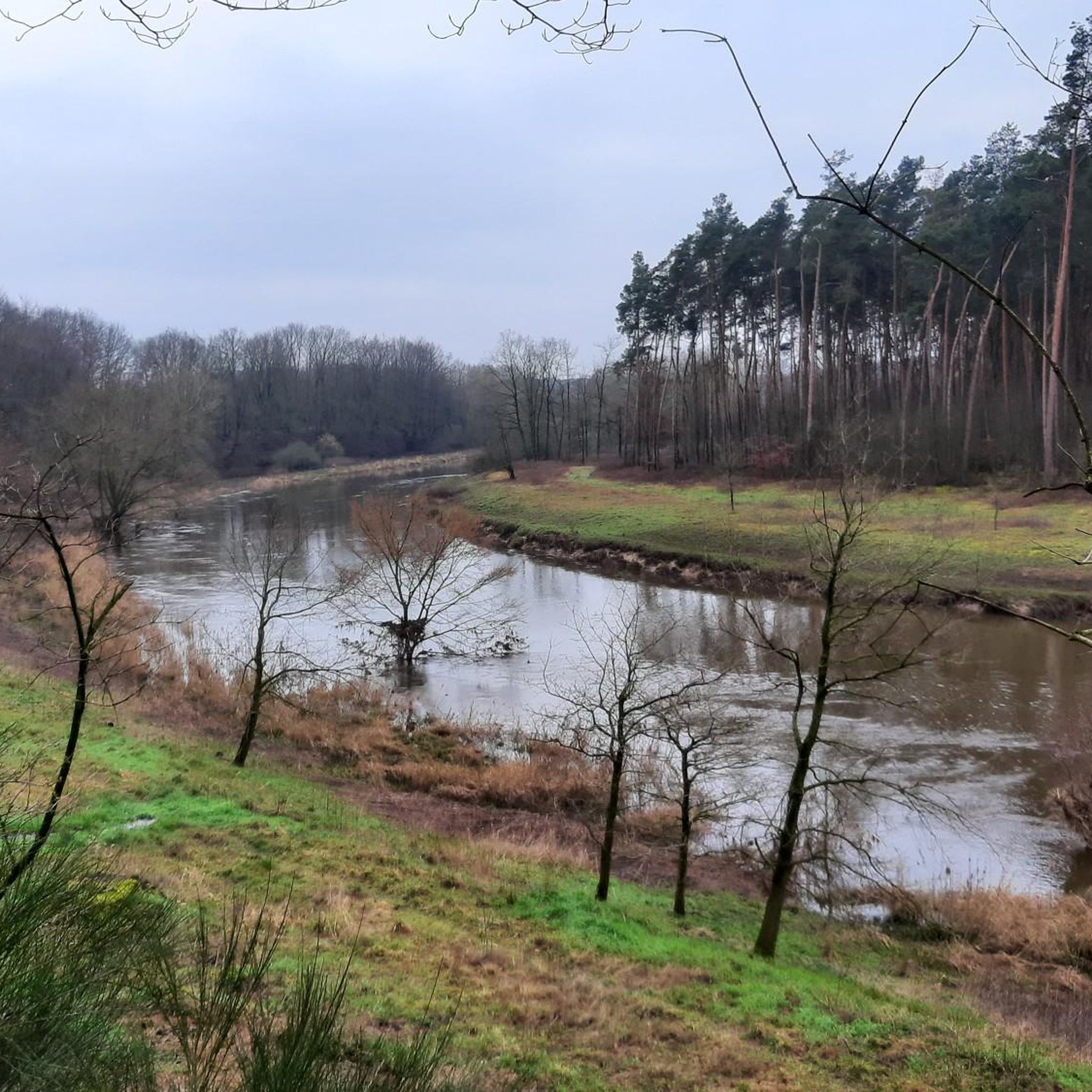
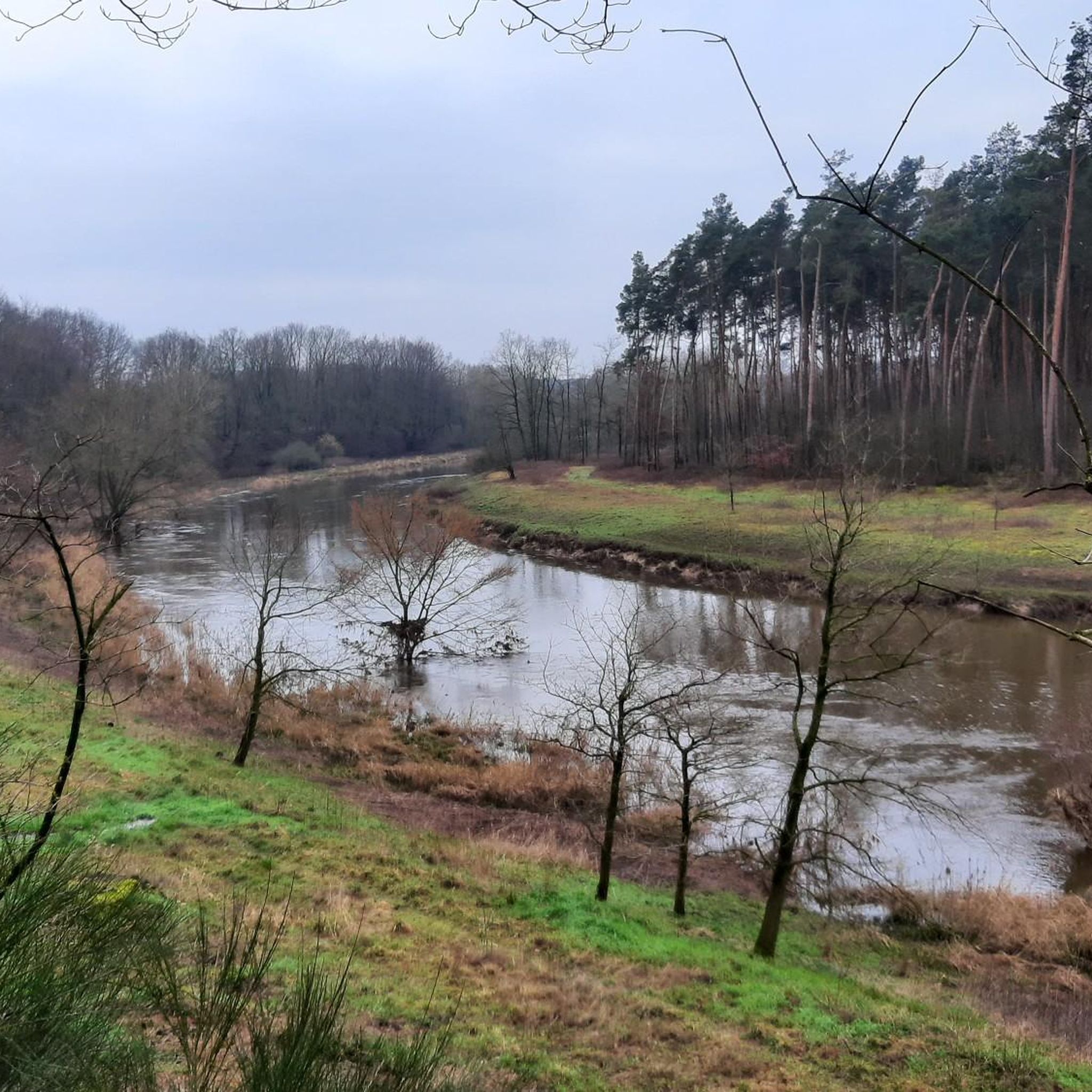
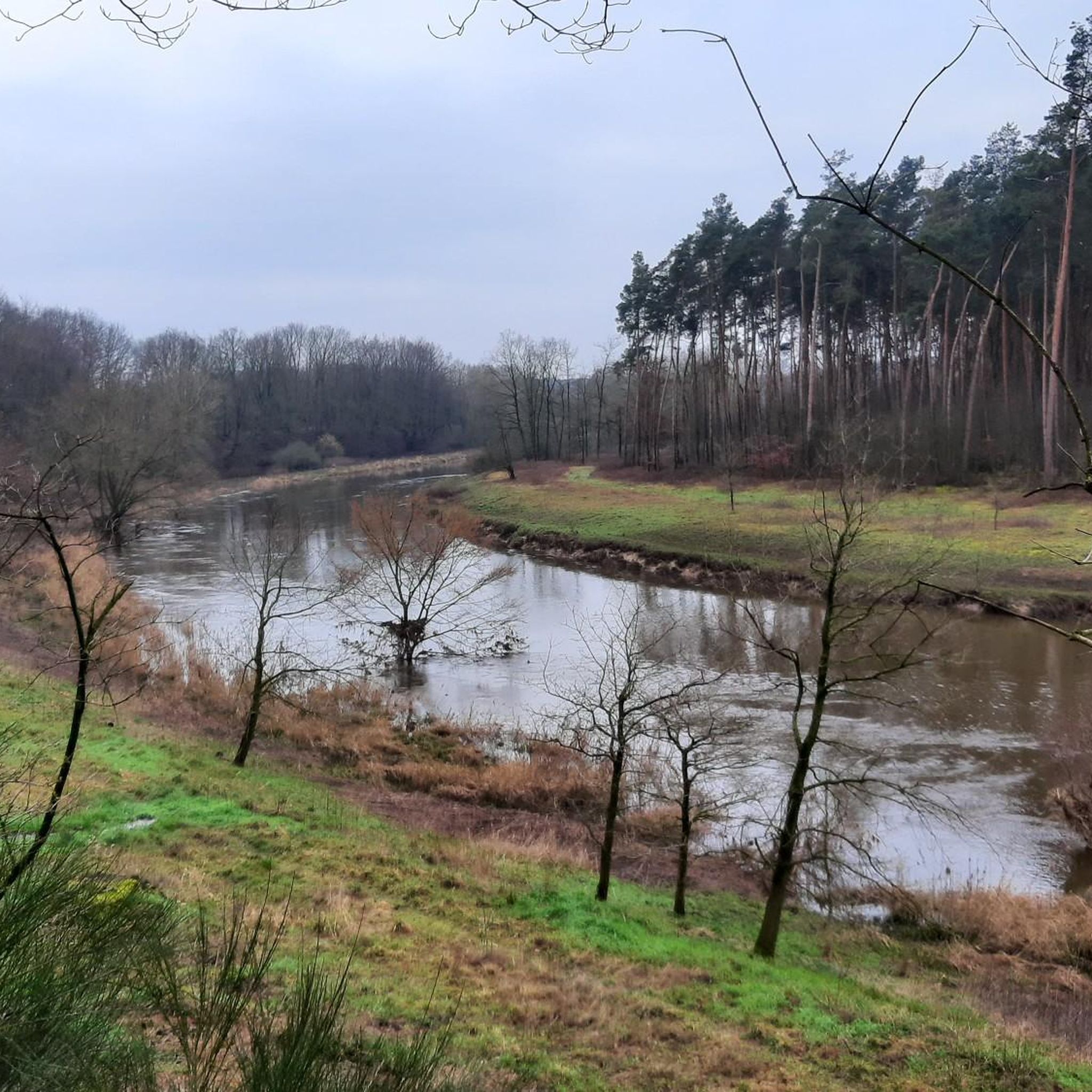
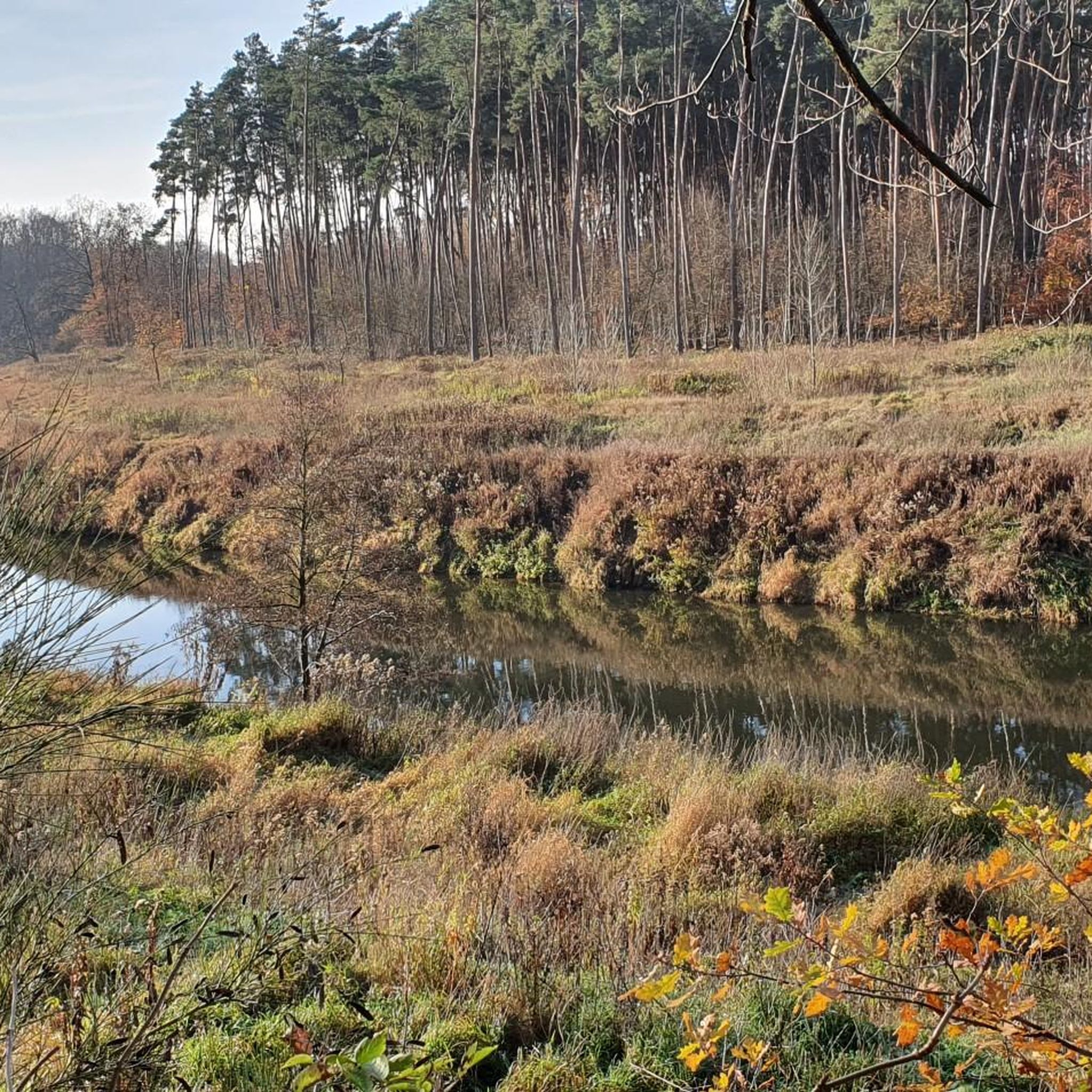

Tips from the Community

It is a nice playground but not in the Emsland district. It is the Steinfurt district in Münsterland NRW. The Emsland district is further north and in Lower Saxony.
0
0

On the small but charming market square in Tecklenburg, you should definitely take a break. It's beautiful!
17
0

There are beautiful hiking trails around the bathing lake
0
0

The parking lot isn't all that small, but it still fills up quickly, even with guests from the Netherlands. The exit isn't particularly clear either.
0
0


A beautiful little park that invites you to linger
5
0

A nice place to linger along the route.
1
0

People come from all over the area for the delicious ice cream in Saerbeck.
2
0
Frequently Asked Questions
What types of mountaineering routes can I find around Saerbeck?
The region around Saerbeck offers a variety of routes, primarily moderate to difficult, exploring the varied terrain. You'll find paths through green meadows, dense forests, and the impressive Dörenther Cliffs with their unique sandstone formations. The nearby hilly landscapes around Tecklenburg also provide more challenging topography.
How many mountaineering routes are available in the Saerbeck area?
There are 7 mountaineering routes detailed in this guide for the Saerbeck area, ranging from moderate to difficult. These routes offer diverse experiences across the region's varied landscapes.
Are there any challenging mountaineering routes near Saerbeck?
Yes, for those seeking a more demanding experience, there is a difficult route available. The Rolandgrab – Bat Cave loop from Tecklenburg is a challenging 21.4 km (13.3 miles) tour with significant elevation gain, perfect for experienced mountaineers.
Can I find circular mountaineering routes around Saerbeck?
Absolutely. Many of the routes in the area are circular, allowing you to start and end at the same point. For example, you can explore the Mountaineering loop from Brochterbecker Osningvorland, which is a moderate 13.1 km (8.1 miles) path through scenic landscapes.
What are some natural attractions or landmarks to see along the routes?
The routes often pass by fascinating natural features. You can encounter the unique sandstone formations like the Crouching Woman or the Dreikaiserstuhl within the Dörenther Cliffs area. Another interesting spot is the Hexenküche Rock Formation. These highlights add a unique character to your mountaineering experience.
Are the mountaineering routes around Saerbeck suitable for families?
While the guide focuses on mountaineering, which can be more strenuous, the region's overall landscape is very family-friendly for general outdoor activities. For mountaineering with families, consider shorter, moderate loops like the Mountaineering loop from Dörenthe, which is 9.5 km (5.9 miles) and takes about 2 hours 39 minutes, offering varied landscapes without extreme difficulty.
Are dogs allowed on the mountaineering trails in Saerbeck?
Generally, dogs are welcome on hiking trails in the Münsterland region, including those around Saerbeck. However, it's always advisable to keep them on a leash, especially in nature reserves or areas with livestock, and to respect local signage. The varied terrain, including forests and open paths, can be enjoyable for dogs.
What is the best time of year to go mountaineering in Saerbeck?
The region is beautiful year-round, but spring and autumn offer particularly pleasant conditions for mountaineering, with mild temperatures and vibrant scenery. Summer can also be great, especially in forested areas, while winter might offer a different, quieter experience, though some paths could be muddy or icy.
Are there places to eat or drink near the mountaineering routes?
Saerbeck and nearby towns like Tecklenburg offer various cafes and pubs where you can refuel after your mountaineering adventure. While specific establishments directly on every trail are rare, you'll find options in the villages and towns close to the starting points of many routes.
What do other mountaineers say about the routes in Saerbeck?
The mountaineering routes in Saerbeck are highly regarded by the komoot community, with an average rating of 4.9 stars from over 5 reviews. Users often praise the diverse landscapes, the impressive Dörenther Cliffs, and the well-maintained paths that offer a rewarding outdoor experience.
How long do the mountaineering routes typically take to complete?
The duration varies depending on the route and your pace. Moderate routes like the Rolandgrab loop from Osterklee, which is 11.6 km (7.2 miles), typically take around 3 hours 16 minutes. Longer, more difficult routes can take significantly more time, such as the 21.4 km (13.3 miles) Rolandgrab – Bat Cave loop, which can take over 6 hours.
Is public transport available to reach the starting points of the routes?
Saerbeck is connected by public transport, and local buses can take you to various points within the region. However, direct access to every trailhead by public transport might be limited. It's advisable to check local bus schedules and connections to plan your journey to the specific starting point of your chosen route.
Most popular routes around Saerbeck
Most popular attractions around Saerbeck

Get inspired with the komoot mobile app


Explore more
Browse the best Mountain Hikes & Routes in other regions.
