The best running trails around Bülkau
4.6
(155)
2,019
runners
135
runs
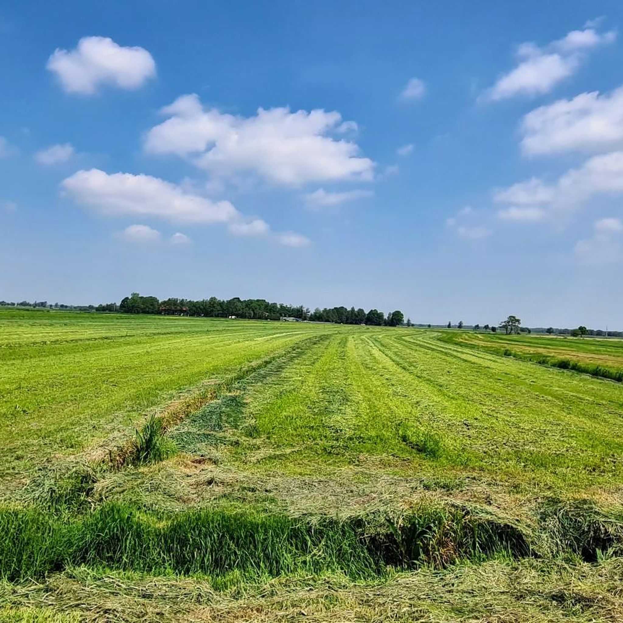
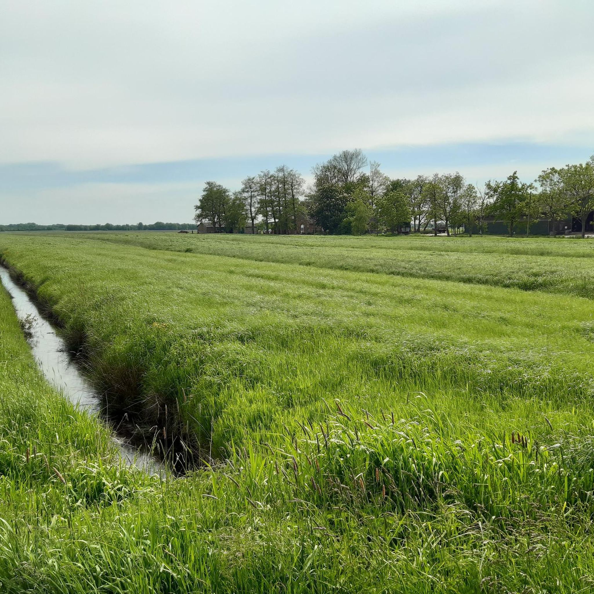
Jogging around Bülkau offers a variety of routes through the region's generally flat landscape, characterized by open fields, small water bodies, and occasional forested areas. The terrain is mostly gentle, with minimal elevation changes on many routes, making it suitable for various fitness levels. Some trails venture into slightly more undulating terrain, providing a diverse running experience.
Best jogging routes around Bülkau
- The most popular jogging route is Silberberg Summit (Wingst) – New King Fir loop from Cadenberge, a…
Last updated: October 12, 2026
5.0
(1)
26
runners
25.5km
02:54
270m
270m
Hard run. Very good fitness required. Mostly paved surfaces. Suitable for all skill levels.
5.0
(1)
11
runners
8.57km
00:53
10m
10m
Moderate run. Good fitness required. Mostly paved surfaces. Suitable for all skill levels.

5.0
(1)
11
runners
8.57km
00:53
10m
10m
Moderate run. Good fitness required. Mostly paved surfaces. Suitable for all skill levels.
3.0
(1)
7
runners
8.26km
00:54
30m
40m
Moderate run. Good fitness required. Mostly paved surfaces. Suitable for all skill levels.
5.0
(2)
8
runners
6.60km
00:41
10m
10m
Moderate run. Good fitness required. Mostly paved surfaces. Suitable for all skill levels.
Get access to more routes and recommendations from other explorers.
Already have an account?
Our route recommendations are based on thousands of hikes, rides, and runs completed by other people on komoot.
Start today with a free account
Your next adventure awaits.
Tips from the Community

The "new" King's Fir is a silver fir, officially designated as the successor to the original King's Fir in 2006. It is about 80 years younger than its predecessor. The original King's Fir, a symbol of the municipality of Wingst and even part of its coat of arms, was planted in 1777 and fell victim to a storm in 1949. The new King's Fir is located about 600 meters south of the site of the original tree. With a height of around 38 meters and a trunk circumference of 3.9 meters, it is an impressive sight.
0
0

At approximately 74 meters above sea level, the Silberberg is the highest natural elevation in the Wingst region and the entire Elbe-Weser triangle. At the summit, you'll find a memorial plaque commemorating the legend of the giant family "Wingis," a historic Gauss stone, a bench, a summit cross, and a summit book. The area around the Silberberg is part of the Wingst Forest, which includes nature reserves such as the Balksee lake, the Quellental valley, and moors. Many signposted circular trails lead around the Silberberg.
3
0

In spring 2025, a summit cross was installed and visitors can sign a summit book.
0
0

Water supply (drinking water) 24/7 free and outside ;-)
0
0

Imposing tree, but I probably wouldn't have noticed it without the plaque. Nice to see how history is maintained here.
1
0
You can't see far from the highest point in the district of Cuxhaven. But it's still worth a visit. There are a few benches for resting at the summit.
1
0
Path with cross-country character through the Hasenbecktal.
0
0

On the Silberberg you can read a story about a huge family that tells how the mountain got its name. Also very nice resting place.
1
0
Frequently Asked Questions
How many running routes are available around Bülkau?
There are over 145 running routes in the Bülkau area, catering to various fitness levels. You'll find a good mix of easy, moderate, and challenging trails to explore.
What kind of terrain can I expect on the jogging paths in Bülkau?
The terrain around Bülkau is generally flat, characterized by open fields, small water bodies, and occasional forested sections. While many routes have minimal elevation changes, some, like the Silberberg Summit (Wingst) – New King Fir loop from Cadenberge, offer more undulating terrain and a greater challenge.
Are there any easy or beginner-friendly running trails in Bülkau?
Yes, Bülkau offers 18 easy running routes perfect for beginners or those looking for a relaxed run. These trails typically feature flat profiles and quiet paths through the local landscape.
Can I find longer distance running trails near Bülkau?
Absolutely. For those seeking a longer challenge, routes like the Silberberg Summit (Wingst) – New King Fir loop from Cadenberge cover 15.9 miles (25.6 km) and include the highest elevation gain in the area, providing a more demanding experience.
What do other runners say about the trails in Bülkau?
The running routes in Bülkau are highly rated by the komoot community, with an average score of 4.5 stars from over 130 reviews. Runners often praise the quiet countryside, varied landscapes, and well-maintained paths suitable for different abilities.
Are there any circular jogging routes in the Bülkau region?
Many of the running routes around Bülkau are designed as loops, offering convenient circular paths. For example, the Running loop from Bülkau is a popular moderate 5.3-mile (8.6 km) option that brings you back to your starting point.
What natural attractions or landmarks can I see while running near Bülkau?
While jogging, you might encounter several natural attractions. Highlights include the Observation Tower at the Deutscher Olymp, the Silberberg Summit (Wingst), and the Balksee Observation Tower. The region is also close to the Wadden Sea National Park, offering unique coastal landscapes.
Are the jogging routes in Bülkau suitable for families?
Yes, many of the easier and moderate routes, particularly those with minimal elevation changes and through quiet village paths, are well-suited for families. The generally flat landscape makes it accessible for various ages and fitness levels.
What is the best time of year to go running in Bülkau?
Spring and autumn generally offer the most pleasant conditions for running in Bülkau, with mild temperatures and beautiful scenery. Summer can be warm, while winter runs are possible but may require appropriate gear for colder, potentially damp conditions.
Are there any running routes that offer views or points of interest?
Many routes provide scenic views of the open countryside and local waterways. For panoramic views, consider trails that pass near the Observation Tower at the Deutscher Olymp or the Silberberg Summit (Wingst), which is the highest point in the Elbe-Weser Triangle.
Can I bring my dog on the running trails in Bülkau?
Most rural trails in the Bülkau area are generally dog-friendly, especially if your dog is well-behaved and kept on a leash. Always be mindful of local regulations, especially when passing through agricultural areas or nature reserves, and ensure you clean up after your pet.
Are there any running routes starting from Cadenberge?
Yes, Cadenberge serves as a starting point for several routes. A popular option is the Running loop from Cadenberge, a moderate 5.1-mile (8.2 km) trail that takes you through the local surroundings.
Most popular attractions around Bülkau

Get inspired with the komoot mobile app


Explore more
Browse the best Running Trails & Routes in other regions.
