The best walks and hikes around Kinnyglass
4.7
(26)
161
hikers
18
hikes
Hiking around Kinnyglass offers routes primarily through local woodlands and along riverbanks. The area, situated near Coleraine in Northern Ireland, is characterized by gentle terrain with well-defined forest paths. Many of the walking trails near Kinnyglass Northern Ireland explore places like Mountsandel Wood and Springwell Forest, featuring low elevation changes suitable for a wide range of hikers.
Best hiking trails around Kinnyglass
- The most popular hiking route is the Springwell Forest loop from Garvagh, a 4.2 mile (6.7 km)…
Last updated: November 9, 2026
5.0
(2)
31
hikers
Easy hike. Easily walkable paths.
5.0
(2)
28
hikers
4.00km
01:03
30m
30m
Easy hike. Easily walkable paths.

5.0
(1)
14
hikers
6.74km
01:50
90m
90m
Easy hike. Easily walkable paths.
3.0
(1)
14
hikers
3.23km
00:52
40m
40m
Easy hike. Easily walkable paths.
12
hikers
Easy hike. Easily walkable paths.
Get access to more routes and recommendations from other explorers.
Already have an account?
Our route recommendations are based on thousands of hikes, rides, and runs completed by other people on komoot.
Start today with a free account
Your next adventure awaits.



Tips from the Community

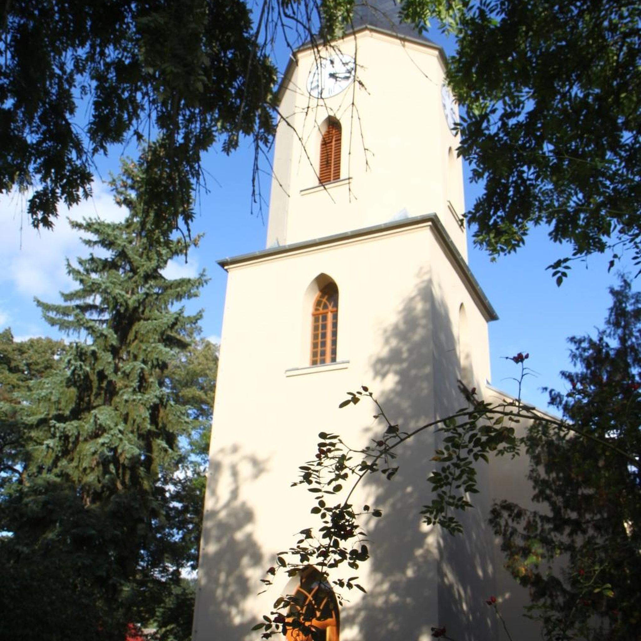
Mountsandel Fort is a prehistoric fort dating to the Mesolithic period that was reused in the Irish Middle Ages (10th to 11th centuries). Located in Coleraine, County Derry, the fort consists of a huge grassy mound hollowed out in the middle, overlooking the River Bann. A must-see for lovers of mysterious monuments!
1
0

You can walk along a well defined forest path from the small car park near Coleraine Courthouse and from the Fort, you can see great views of the Salmon Leap (Weir) and Coleraine.
1
0
Frequently Asked Questions
What kind of scenery can I expect on hikes around Kinnyglass?
The hiking trails around Kinnyglass, near Coleraine, primarily feature gentle woodland paths and serene riverside walks. You can expect to explore well-maintained forest trails in places like Springwell Forest and Mountsandel Wood, with low elevation changes and lush, green surroundings.
Are there any easy, family-friendly walking trails in the area?
Yes, the region is very well-suited for families and beginners. Most routes are classified as easy, with gentle terrain. A great option is the Somerset Forest loop from Coleraine, which is a short and pleasant walk through the woods.
Can I find circular walks near Kinnyglass?
Absolutely. Many of the recommended hikes are loop trails, allowing you to start and finish in the same spot without retracing your steps. The Cam Forest loop from Garvagh is a popular choice that takes you on a circuit through mixed woodland.
Are the hiking trails dog-friendly?
While many woodland and park trails in Northern Ireland are welcoming to dogs, policies can vary. It's always best to look for local signage at trailheads like Mountsandel Wood or Springwell Forest. Please keep your dog under control, especially in areas with wildlife or livestock, and be prepared to clean up after them.
What do other hikers enjoy most about the trails around Kinnyglass?
The area is highly rated by the komoot community, with an average score of 4.7 stars. Reviewers often praise the peaceful atmosphere of the forest walks and the well-defined, accessible paths that make for relaxing and enjoyable hikes.
How many hiking trails are there to choose from?
There are nearly 20 hiking routes to explore around Kinnyglass. The vast majority are easy walks, with a couple of moderate options for those seeking a slightly longer outing.
What are some popular places for hiking near Kinnyglass?
Several local spots are highly regarded for walking. Mountsandel Wood is a popular favorite, offering beautiful trails along the River Bann. For a quieter experience, you might enjoy the paths at Hutchinson Quay Walks. Another excellent choice is Ronan's Way Hikes, which offers very rewarding, though sometimes challenging, routes.
How difficult are the hikes in this region?
The hikes are generally not difficult. The terrain is mostly flat with low elevation gains, making it ideal for casual walkers, families, and those new to hiking. Out of nearly 20 trails, 17 are rated as easy.
Are there any trails with views of the River Bann?
Yes, several trails offer lovely river views. The Mountsandel Fort – View of the River Bann loop from Coleraine is specifically routed to provide scenic viewpoints of the river as you walk through the woods.
What should I pack for a hike in Kinnyglass?
For most walks here, comfortable walking shoes are sufficient. As the weather in Northern Ireland can be unpredictable, it's always wise to bring a waterproof jacket. Since many trails are in woodlands, insect repellent can be useful in warmer months. Always carry water and a fully charged phone.
How do I get to the trailheads? Is parking available?
Most trailheads are best reached by car. Popular locations like Mountsandel Wood and other forest parks typically have designated parking areas. However, some smaller trails like the Errigal Glen Trail have very limited or no official parking, so it's best to plan your trip in advance.
Are there any pubs or cafes near the hiking trails for after a walk?
The trails are located near towns like Coleraine and Garvagh, where you will find a good selection of pubs, cafes, and restaurants. After a walk in Mountsandel Wood, for example, you are only a short drive from the center of Coleraine for refreshments.

Get inspired with the komoot mobile app


Explore more
Browse the best Hikes in other regions.
