The best walks and hikes around Ballymulholland
4.7
(103)
610
hikers
17
hikes
Hiking around Ballymulholland offers diverse terrain, characterized by ancient forests, prominent hills, and varied natural features. The region includes landscapes shaped by an extinct volcano, providing both challenging ascents and panoramic views. Hikers can explore a mix of forest trails and open hill paths, with elevations ranging from gentle slopes to more significant climbs.
Best hiking trails around Ballymulholland
- The most popular hiking route is Binevenagh Hill and Lake loop — Binevenagh, a 3.4 miles (5.5 km) trail that…
Last updated: November 9, 2026
4.1
(17)
79
hikers
5.46km
01:54
170m
170m
Moderate hike. Mostly walkable paths. Sure-footedness required.
4.8
(6)
31
hikers
15.5km
04:37
390m
390m
Moderate hike. Good fitness required. Mostly walkable paths. Sure-footedness required.

3.6
(5)
17
hikers
8.01km
02:39
260m
260m
Moderate hike. Good fitness required. Mostly walkable paths. Sure-footedness required.
4.0
(1)
5
hikers
4.82km
01:23
120m
120m
Easy hike. Easily walkable paths.
17.6km
05:23
630m
630m
Hard hike. Very good fitness required. Easily walkable paths.
Get access to more routes and recommendations from other explorers.
Already have an account?
Our route recommendations are based on thousands of hikes, rides, and runs completed by other people on komoot.
Start today with a free account
Your next adventure awaits.
Popular around Ballymulholland

Tips from the Community

Glennagiveny Bay is a crescent shaped sandy beach on the northern coast of Magilligan Point.
0
0


Highly recommended 👌 I believe a location of a certain TV show may have been shot here.
0
0

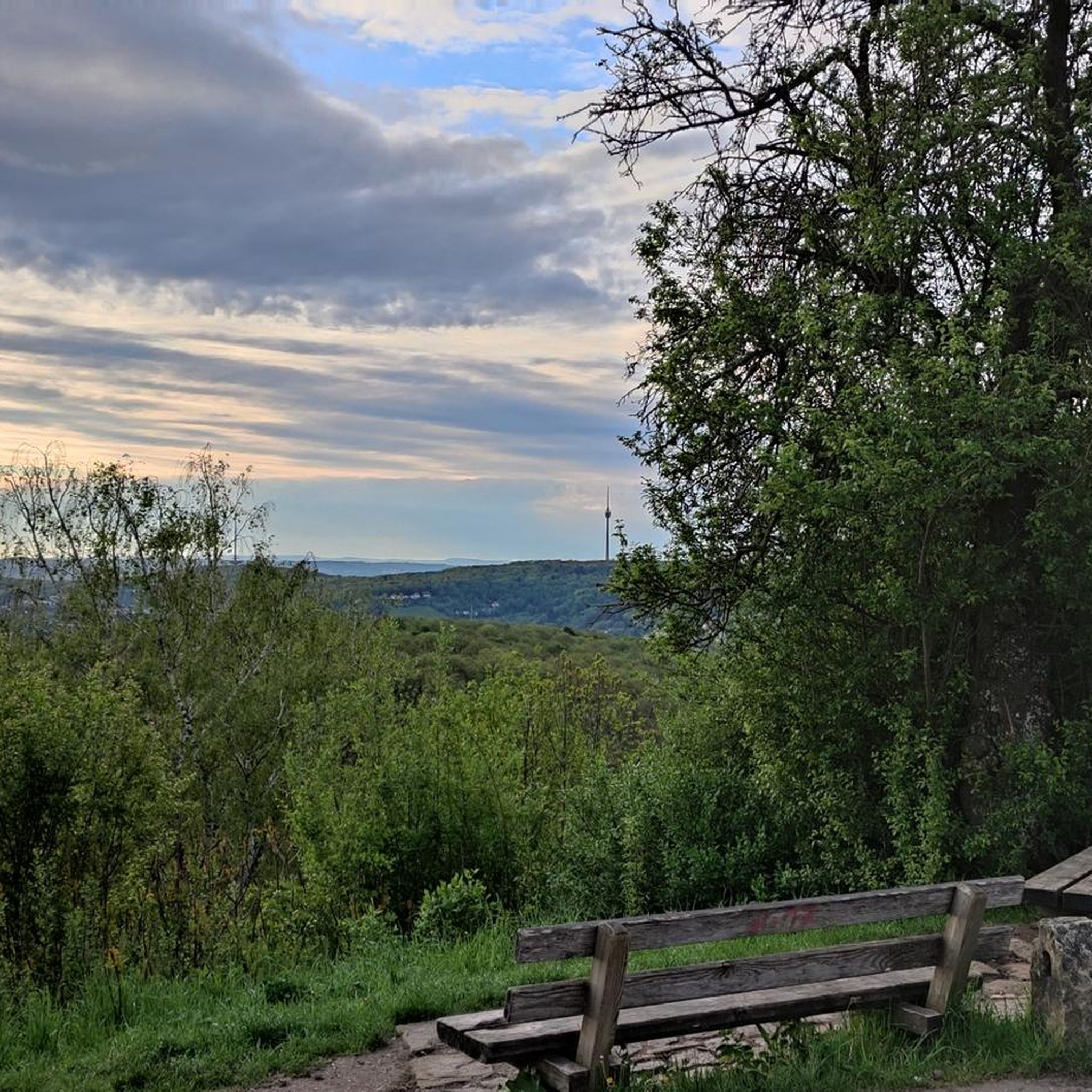
If you're lucky enough to reach this viewpoint on a clear day, you'll have stunning views of the Inishowen Peninsula, Lough Foyle stretching down to Londonderry, or even Scotland!
1
0
The solitary Bishops Road at its point near Eagle Hill, due to its altitude, offers a very beautiful view not only of the surroundings and the coast but also of the road itself as it winds through the countryside and descends towards the coast on the horizon.
1
0
This statue is located right next to the parking area and is easily accessible. The statue represents this sea god from Irish mythology overlooking the channel toward Greencastle, and from here, you can observe the beautiful countryside that surrounds you.
0
0
Gortmore is a fascinating place with an atmosphere all of its own. On clear days you can get stunning views. To the west is Lough Foyle stretching down to Londonderry and beyond; to the north is the Inishowen Peninsula and to the east you can see as far as Scotland.
0
0

This is a spectacular viewpoint looking across Lough Foyle to Binevenagh and Magilligan Point in County Derry. On a clear day you can see for miles into Northern Ireland and even Scotland.
0
0
Frequently Asked Questions
How many hiking trails are available in Ballymulholland?
Ballymulholland offers a good selection of hiking routes, with over 15 trails to explore. These range from easy walks to more moderate challenges, catering to various fitness levels.
What kind of terrain can I expect on hikes around Ballymulholland?
The terrain in Ballymulholland is diverse, featuring ancient forests, prominent hills, and landscapes shaped by an extinct volcano like Slieve Gullion. You can expect a mix of forest trails, open hill paths, and varied natural features, offering both gentle slopes and more significant climbs.
Are there easy hiking options suitable for beginners or casual walkers?
Yes, Ballymulholland has several easy hiking options. For example, the Eagle Hill loop is an easy trail that provides a pleasant walk without significant elevation gain. Kilbroney Park also offers well-signposted trails suitable for different levels.
Can I find circular hiking routes in Ballymulholland?
Many of the trails in Ballymulholland are designed as circular routes, allowing you to start and finish at the same point. Examples include the Binevenagh Hill and Lake loop and The Viewpoint of Binevenagh Hill loop.
What are some notable landmarks or natural features to see while hiking in Ballymulholland?
Hikers can discover a wealth of natural and historical features. The summit of Slieve Gullion, an extinct volcano, offers panoramic views and hosts the highest Passage Tomb in the British Isles. Other highlights include the View from Binevenagh Summit, the Binevenagh Viewpoint, and the Binevenagh Lake. Kilbroney Park features the massive Cloughmore Stone, a glacial erratic.
Are there any family-friendly hiking trails in Ballymulholland?
Kilbroney Park is an excellent option for families, offering varied terrain and well-signposted trails. The easier routes in the region, such as the Eagle Hill loop, are also suitable for families looking for a less strenuous outing.
Is Ballymulholland suitable for dog-friendly walks?
Many of the trails in Ballymulholland are suitable for dog walking, particularly those through forests and open countryside. It's always recommended to keep dogs on a leash, especially in areas with livestock or wildlife, and to check local signage for any specific restrictions.
What do other hikers say about their experience in Ballymulholland?
The hiking routes in Ballymulholland are highly rated by the komoot community, with an average score of 4.7 stars from over 60 reviews. Hikers often praise the diverse landscapes, from volcanic ascents to serene forest trails, and the rewarding panoramic views.
Are there any challenging hikes for experienced hikers?
Yes, for experienced hikers, the ascent to the Slieve Gullion Summit provides a challenging yet rewarding experience with significant elevation. The Bineveneagh loop via North Sperrins Way is another moderate option that traverses varied landscapes over a longer distance.
What is the best time of year to go hiking in Ballymulholland?
The region is enjoyable for hiking throughout much of the year. Spring and autumn offer pleasant temperatures and vibrant scenery, while summer provides longer daylight hours. Winter hiking is possible, but conditions can be more challenging, especially on higher ground.
Where can I find parking for hiking trails in Ballymulholland?
Parking is generally available at popular trailheads and attractions such as Kilbroney Park. For specific routes, it's advisable to check the route details on komoot, as many tours include information on starting points and parking facilities.
Are there any historical sites to explore on the trails?
Absolutely. The Slieve Gullion summit features an ancient Passage Tomb. The North Cairn of Slieve Gullion also holds historical importance with two Bronze Age stone boxes. Additionally, nearby attractions include the Downhill House Ruins and Mussenden Temple, offering glimpses into the region's past.
Are there any viewpoints offering scenic vistas?
Ballymulholland is rich in scenic viewpoints. The summit of Slieve Gullion offers extensive panoramic views, and Kilbroney Park provides breathtaking views of Carlingford Lough and the Mourne Mountains. The View of the North Coast from Binevenagh AONB is another highly recommended spot for expansive vistas.
Most popular routes around Ballymulholland
Most popular attractions around Ballymulholland

Get inspired with the komoot mobile app


Explore more
Browse the best Hikes in other regions.
