The best road cycling routes around Kippax
4.4
(101)
5,081
riders
353
rides
Road cycling routes around Kippax are characterized by a mix of flat agricultural lands and gently rolling hills. The terrain offers varied elevation gains, with some routes featuring gradual ascents and descents. The area is situated within a landscape that includes open fields and rural roads, providing a network suitable for road cycling.
Best road cycling routes around Kippax
- The most popular road cycling route is Cross Keys Pub – Birkin Tea Room loop from Micklefield, a 29.7 miles…
Last updated: July 7, 2026
5.0
(1)
67
riders
47.8km
01:57
170m
170m
Easy road ride. Great for any fitness level. Mostly well-paved surfaces and easy to ride.
61
riders
42.8km
01:55
330m
330m
Moderate road ride. Good fitness required. Some segments of this route may be unpaved and difficult to ride.

Sign up for free
54
riders
34.1km
01:31
300m
300m
Moderate road ride. Good fitness required. Mostly well-paved surfaces and easy to ride.
3.0
(1)
39
riders
Easy road ride. Great for any fitness level. Mostly well-paved surfaces and easy to ride.
5.0
(1)
26
riders
56.2km
02:18
160m
160m
Moderate road ride. Good fitness required. Mostly well-paved surfaces and easy to ride.
Get access to more routes and recommendations from other explorers.
Sign up for free
Already have an account?
Our route recommendations are based on thousands of hikes, rides, and runs completed by other people on komoot.
Start today with a free account
Your next adventure awaits.
Login or Signup
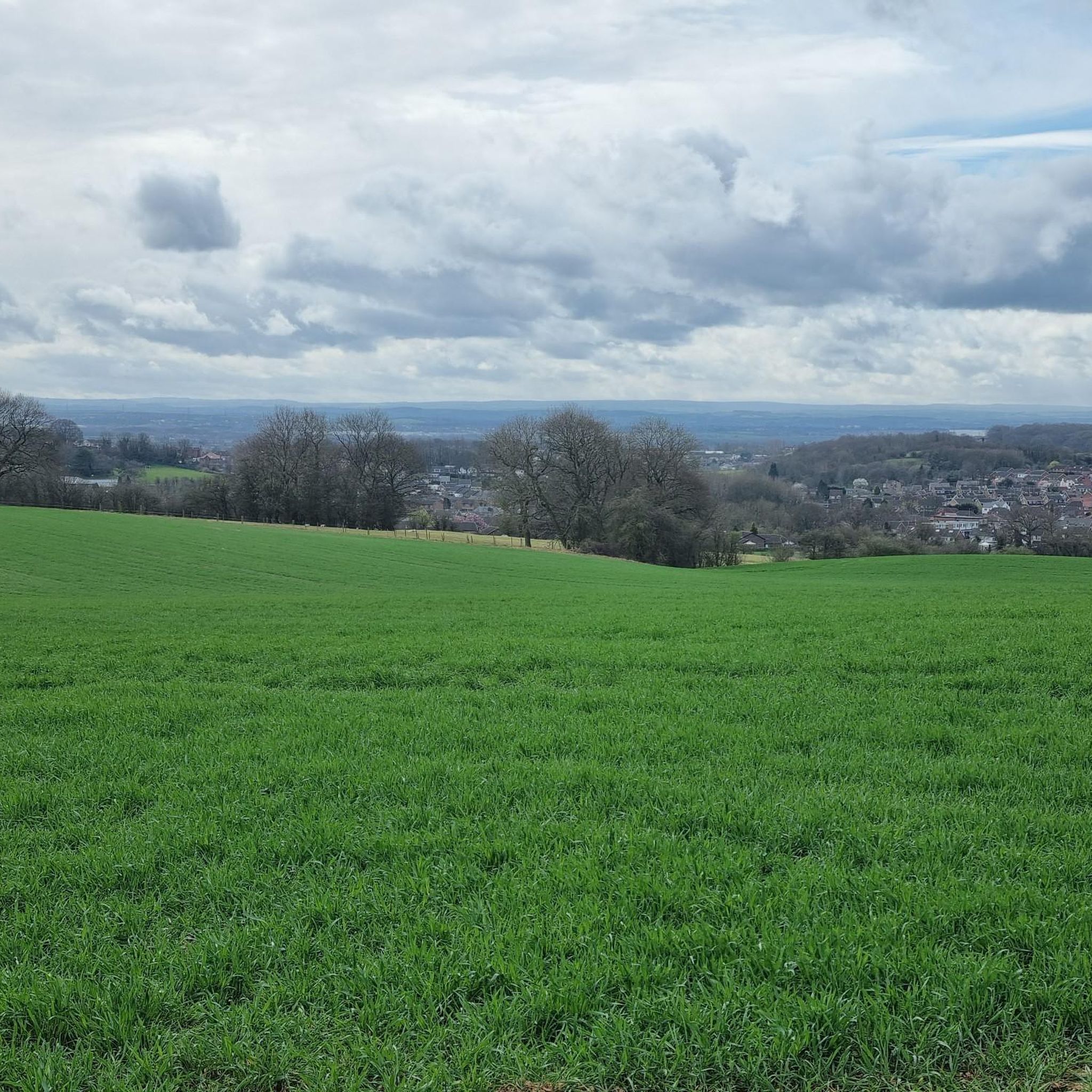
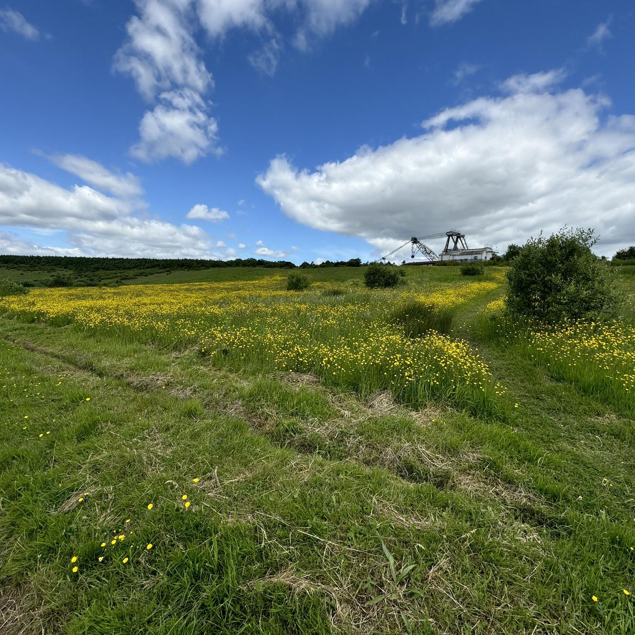
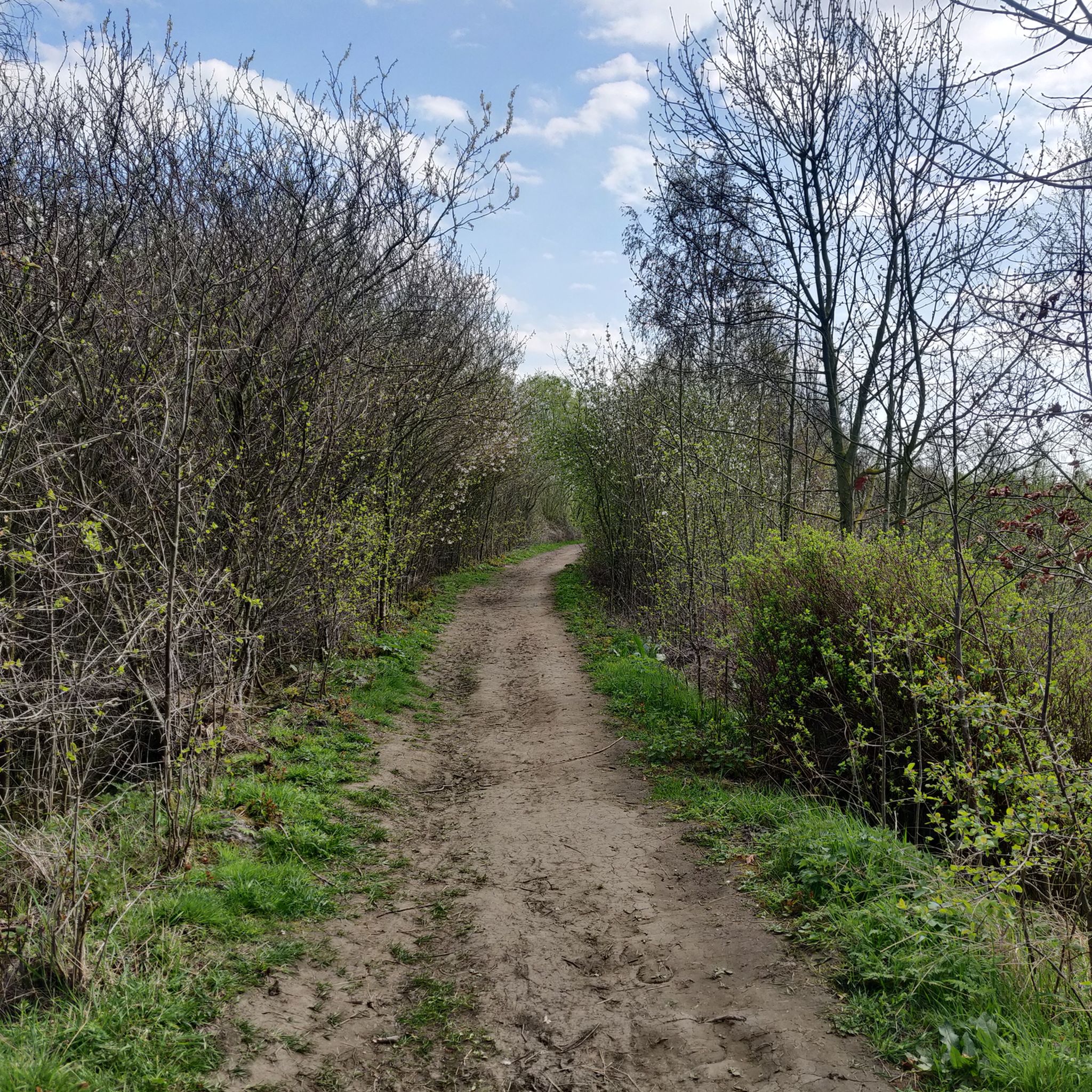
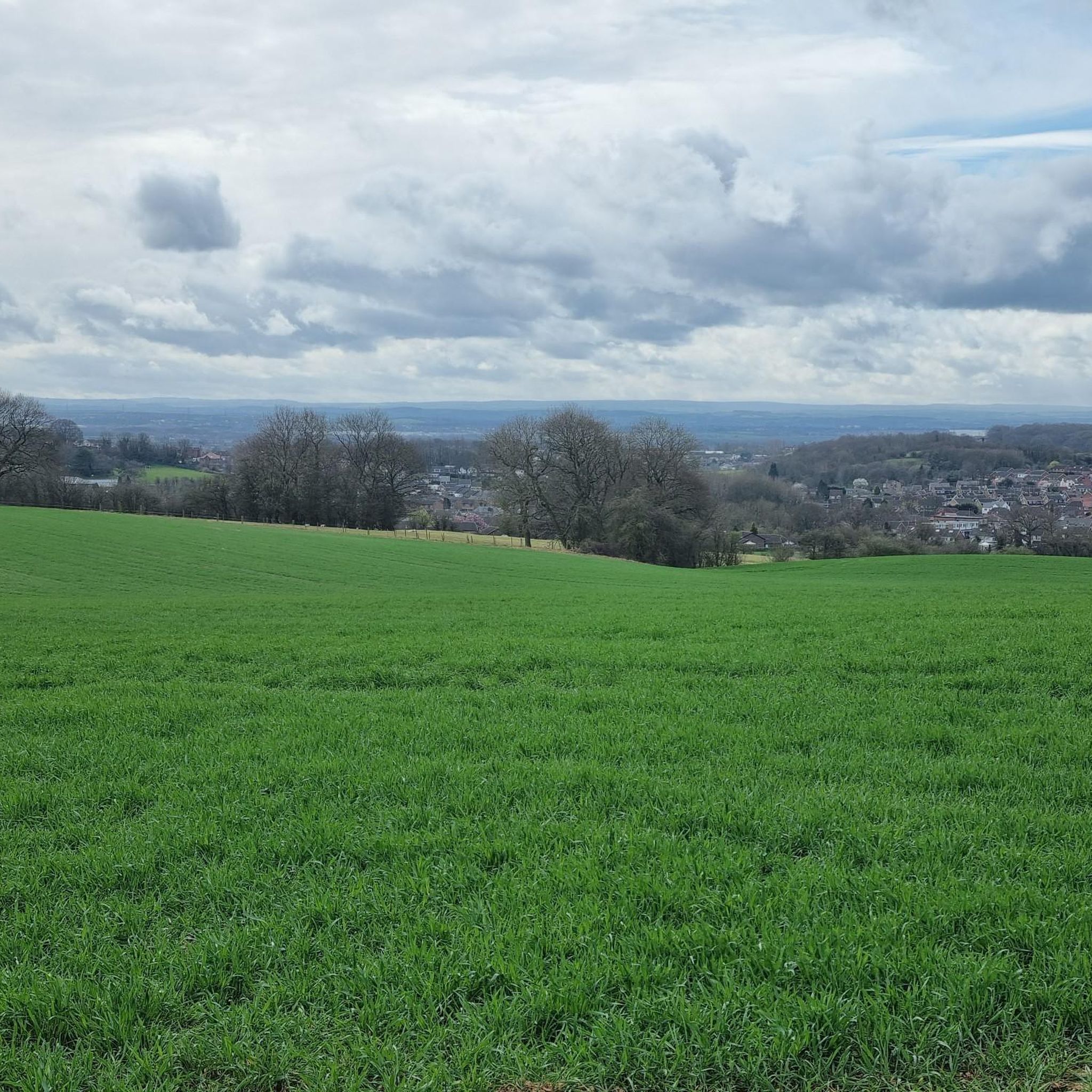

Tips from the Community

It’s actually in Thorner and not Shadwell. Nice stop but pub nearby is now closed.
0
0

The site's religious history dates back to the Danish period, with an original St. Hilda's Chapel potentially existing as early as 500 AD. Medieval building: By the 12th century, the chapel was in ruins. A new Norman church, dedicated to All Saints, was constructed around 1213. Elements from the earlier structure were incorporated into the new building. Much of the present church has a dominant Perpendicular style from the 14th and 15th centuries. The distinctive, tall bell tower, which serves as a local landmark, was added in the 15th century.
1
0
Scholars describe Ryther Castle as a modest, fortified manor, likely never having substantial defences. It is also known by the name Hall Garth, referring to the field where it stood. The castle's decline is suggested by a 1440 report on Sir William Ryther's estate, which described the manor house and several cottages as being in a "ruinous" or "waste" condition. By the time the de Rhythre family relinquished the estate, the structure was a total loss. Today there is nothing to see here, merely an overgrown beck and bog, largely obscured by trees.
1
0

Beautiful village and surrounding areas. Very quiet. Perfect for a road bike ride.
0
0

Frequently Asked Questions
How challenging are the road cycling routes around Kippax?
Kippax offers a diverse range of road cycling routes. You'll find approximately 130 easy routes, around 200 moderate options, and about 20 more challenging trails. The terrain varies from flat agricultural lands to gently rolling hills, providing options for all skill levels.
What are the typical distances and elevation gains for road cycling routes in Kippax?
Routes in Kippax vary significantly. For instance, an easy route like Ryther Castle – View of Church Fenton Airfield loop from Garforth covers about 24.4 miles (39.3 km) with around 190 meters of elevation gain. More moderate routes can extend up to 68 miles (109.8 km) with over 600 meters of climbing, offering longer rides through expansive countryside.
Where can I find parking when road cycling in Kippax?
Parking is generally available in the villages and towns surrounding Kippax, such as Garforth or Micklefield, which often serve as starting points for many routes. Look for public car parks or consider parking responsibly in residential areas where permitted.
Are there suitable road cycling routes for beginners in Kippax?
Yes, Kippax is well-suited for beginners, with over 130 easy routes available. These routes typically feature gentle elevation changes across rural landscapes, making them ideal for those new to road cycling or looking for a relaxed ride. An example is the Cross Keys Pub – Birkin Tea Room loop from Micklefield, which is an easy 29.7-mile trail.
What options are there for experienced road cyclists seeking a challenge?
Experienced cyclists can find more challenging routes among the approximately 20 difficult trails and numerous moderate options. These routes often include more significant climbs and descents, traversing varied scenery and covering longer distances. The Boroughbridge High Street – Rolling Country Road loop from Garforth, for example, is a moderate 68.2-mile trail with over 640 meters of elevation.
When is the best time of year for road cycling in Kippax?
The spring and summer months (April to September) generally offer the most pleasant conditions for road cycling in Kippax, with warmer temperatures and longer daylight hours. Autumn can also be beautiful with changing foliage, though weather can be more unpredictable. Always check the local forecast before heading out.
Can I go road cycling in Kippax during winter?
While road cycling is possible in winter, conditions can be challenging due to colder temperatures, potential ice, and shorter daylight hours. Roads may also be affected by agricultural activity. If cycling in winter, ensure your bike is well-maintained, wear appropriate gear, and check road conditions beforehand.
Are there places to stop for refreshments along the routes?
Yes, many routes pass through or near villages and towns where you can find pubs, cafes, and small shops for refreshments. Planning your route with potential stops in mind is recommended, especially for longer rides.
Are there any scenic viewpoints or notable sights along the road cycling routes?
Absolutely. The Kippax area offers several points of interest. You might pass by natural reserves such as RSPB St Aidan's Nature Reserve or Fairburn Ings RSPB Nature Reserve. Other notable sights include Nellie's Tree and various historical markers like the Mill Pond Meadows Memorial Horse Sculpture.
Are most road cycling routes around Kippax circular?
Many of the road cycling routes around Kippax are designed as loops, allowing you to start and finish at the same point. This is convenient for those who drive to their starting location. Examples include the Thorner Road – Ford in Shadwell Village loop from East Garforth and the Ford in Shadwell Village – Thorner Road loop from Micklefield.
What do other road cyclists enjoy the most about road cycling in Kippax?
The road cycling routes in Kippax are highly rated by the komoot community, with an average score of 4.4 stars from over 100 reviews. Cyclists often praise the mix of open fields and rural roads, the varied terrain with gentle hills, and the overall peacefulness of the countryside, making it an enjoyable experience for all levels.
Most popular attractions around Kippax

Get inspired with the komoot mobile app


Explore more
Browse the best Road cycling routes in other regions.
