The best running trails around Wiesbaden
4.4
(2621)
27,694
runners
787
runs
Jogging around Wiesbaden offers a diverse landscape for runners, with over a quarter of the city covered by forests and green spaces. The city is situated at the southern foot of the Taunus Mountains, providing hilly, wooded trails and scenic views. Additionally, paths along the Rhine River offer kilometers of running routes with river views, complementing the extensive network of parks and natural preserves within the city.
Best jogging routes around Wiesbaden
- The most popular jogging route is Kurpark Pathway – Path Along the Rambach loop from Sonnenberg, a 3.1 miles (5.0 km) trail that takes about 30 minutes to complete. This route explores the landscaped paths around the historic Kurpark.
- Another top favourite among local runners is Nerobergbahn Funicular – Rettert-Brunnen Water Fountain loop from Wiesbaden, a moderate 6.6 miles (10.7 km) path. This route ascends towards Neroberg, offering a vigorous workout through wooded trails.
- Local runners also love the Theodor Heuss Bridge – Customs and Inland Port Mainz loop from Mainz-Kostheim, a 5.8 miles (9.3 km) trail leading through riverside paths along the Rhine, often completed in about 58 minutes.
- Jogging around Wiesbaden is defined by the hilly trails of the Taunus Mountains, scenic routes along the Rhine River, and extensive green spaces like the Kurpark. The network offers options for various ability levels, from flat riverside runs to more challenging ascents.
- The routes in Wiesbaden are highly rated by the komoot community with an average score of 4.3 stars from over 2300 reviews. More than 24000 runners have used komoot to explore Wiesbaden's varied terrain.
Last updated: July 1, 2026
4.5
(64)
1,767
runners
9.28km
00:58
20m
20m
Moderate run. Good fitness required. Mostly paved surfaces. Suitable for all skill levels.
4.6
(67)
695
runners
Moderate run. Good fitness required. Mostly paved surfaces. Suitable for all skill levels.

Sign up for free
4.1
(56)
436
runners
Moderate run. Good fitness required. Mostly paved surfaces. Suitable for all skill levels.
4.6
(14)
517
runners
Moderate run. Good fitness required. Mostly paved surfaces. Suitable for all skill levels.
4.5
(55)
357
runners
11.0km
01:10
100m
100m
Moderate run. Good fitness required. Mostly paved surfaces. Suitable for all skill levels.
4.6
(20)
330
runners
Moderate run. Good fitness required. Mostly paved surfaces. Suitable for all skill levels.
4.2
(37)
296
runners
Moderate run. Good fitness required. Mostly paved surfaces. Suitable for all skill levels.
4.4
(42)
292
runners
6.91km
00:48
100m
100m
Moderate run. Good fitness required. Mostly paved surfaces. Suitable for all skill levels.
4.4
(19)
303
runners
Moderate run. Good fitness required. Mostly paved surfaces. Suitable for all skill levels.
4.8
(12)
265
runners
Hard run. Very good fitness required. Mostly paved surfaces. Suitable for all skill levels.
Get access to more routes and recommendations from other explorers.
Sign up for free
Already have an account?
Our route recommendations are based on thousands of hikes, rides, and runs completed by other people on komoot.
Start today with a free account
Your next adventure awaits.
Login or Signup
Popular around Wiesbaden
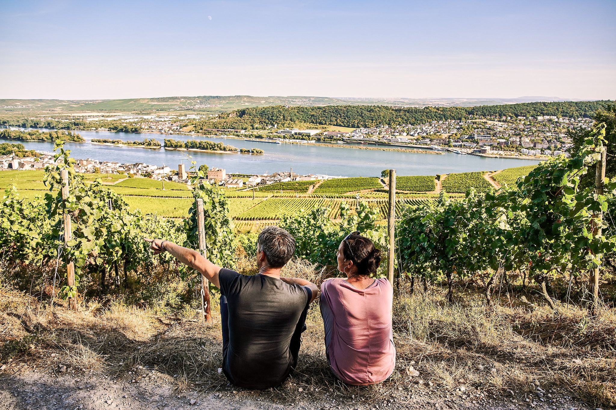
Riesling Loops – 14 routes rich in wine and history

Spring is here – hiking with family by bus & train in Rhine-Main
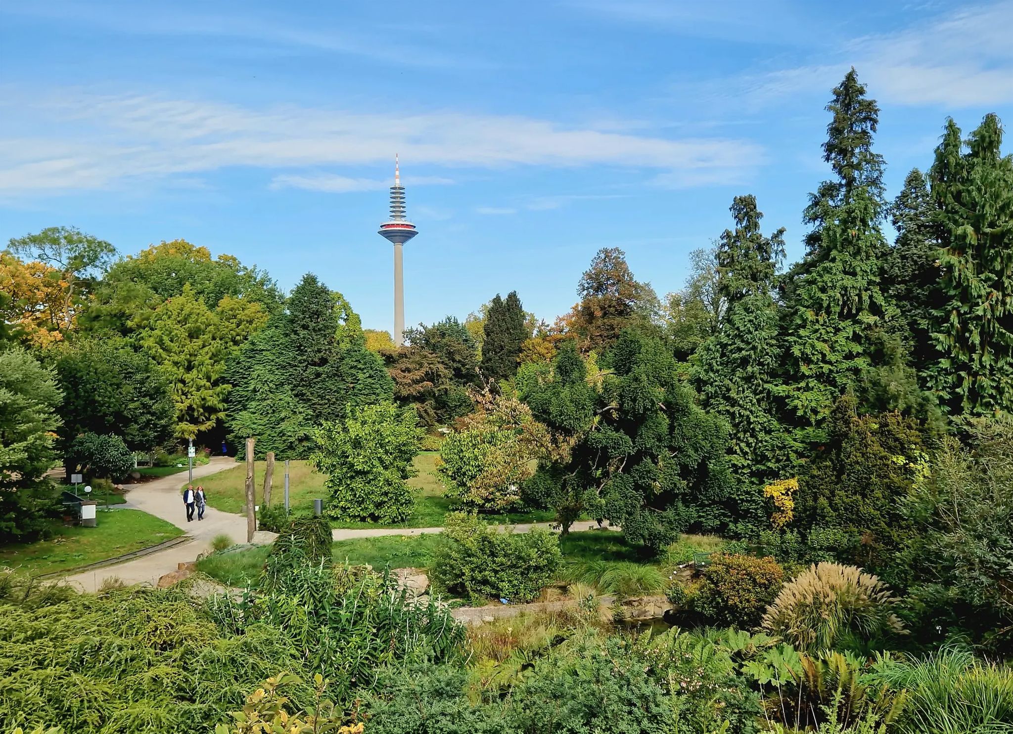
Einfach durch Wiesbaden, Mainz, Darmstadt und Frankfurt am Main
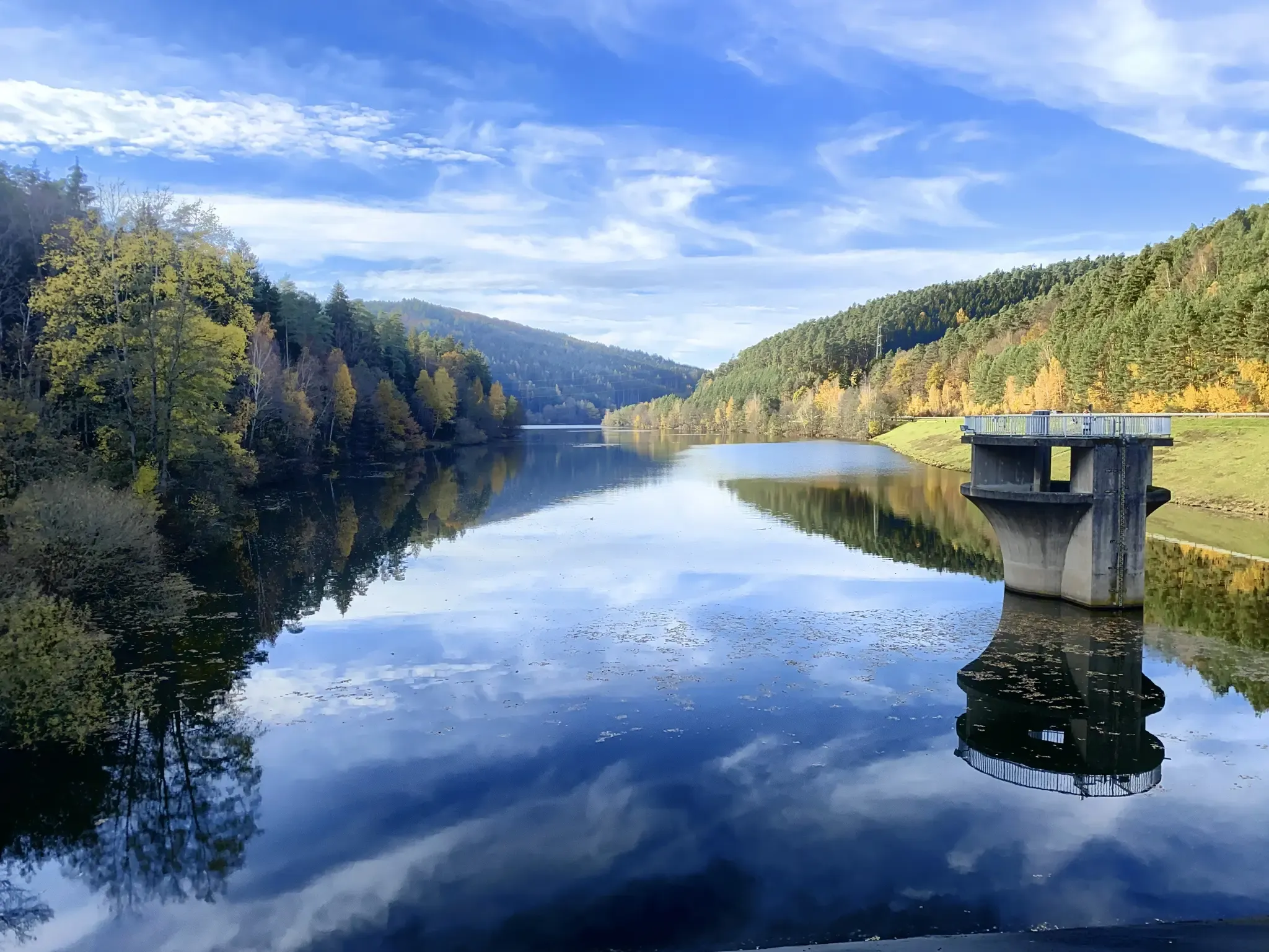
Mit Rosbacher auf Tour im Rhein-Main-Gebiet
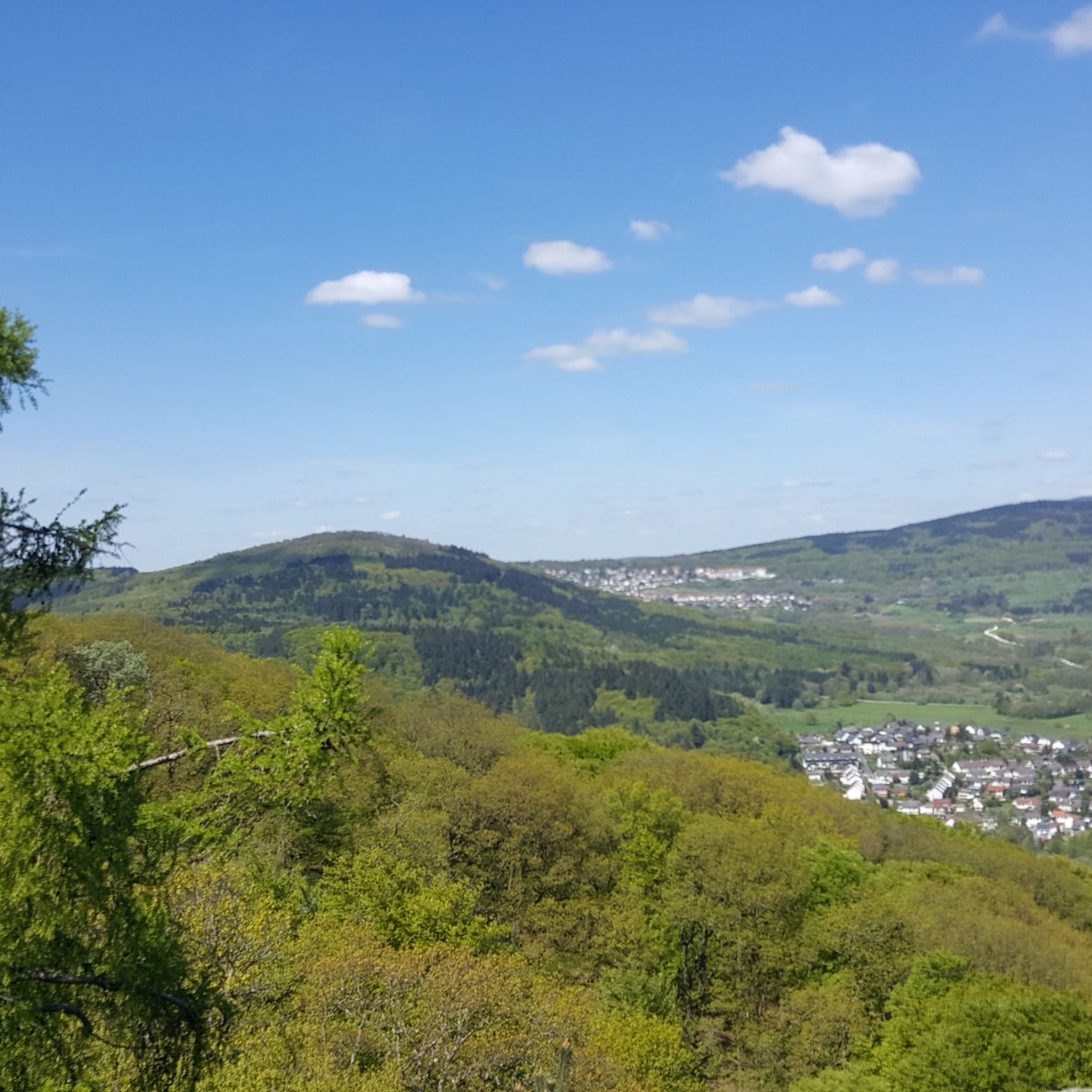
Hiking around Wiesbaden
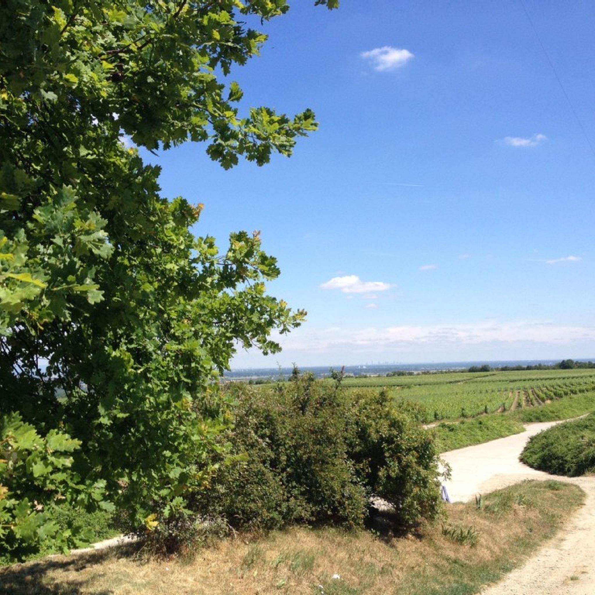
Cycling around Wiesbaden
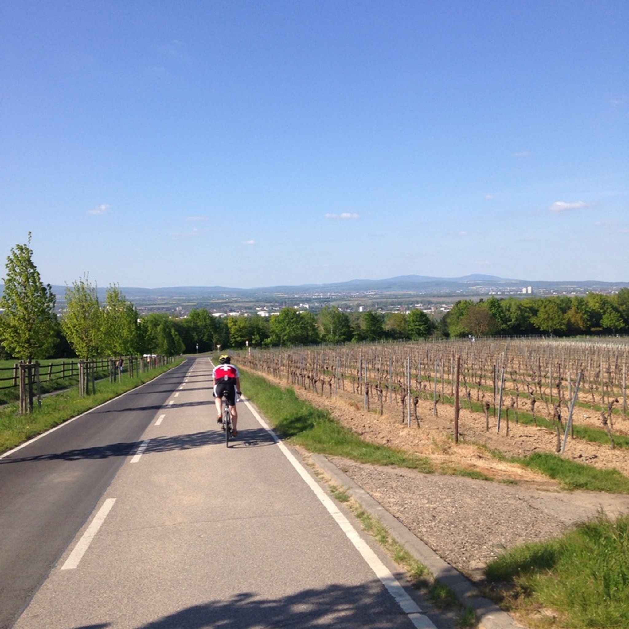
Road Cycling Routes around Wiesbaden
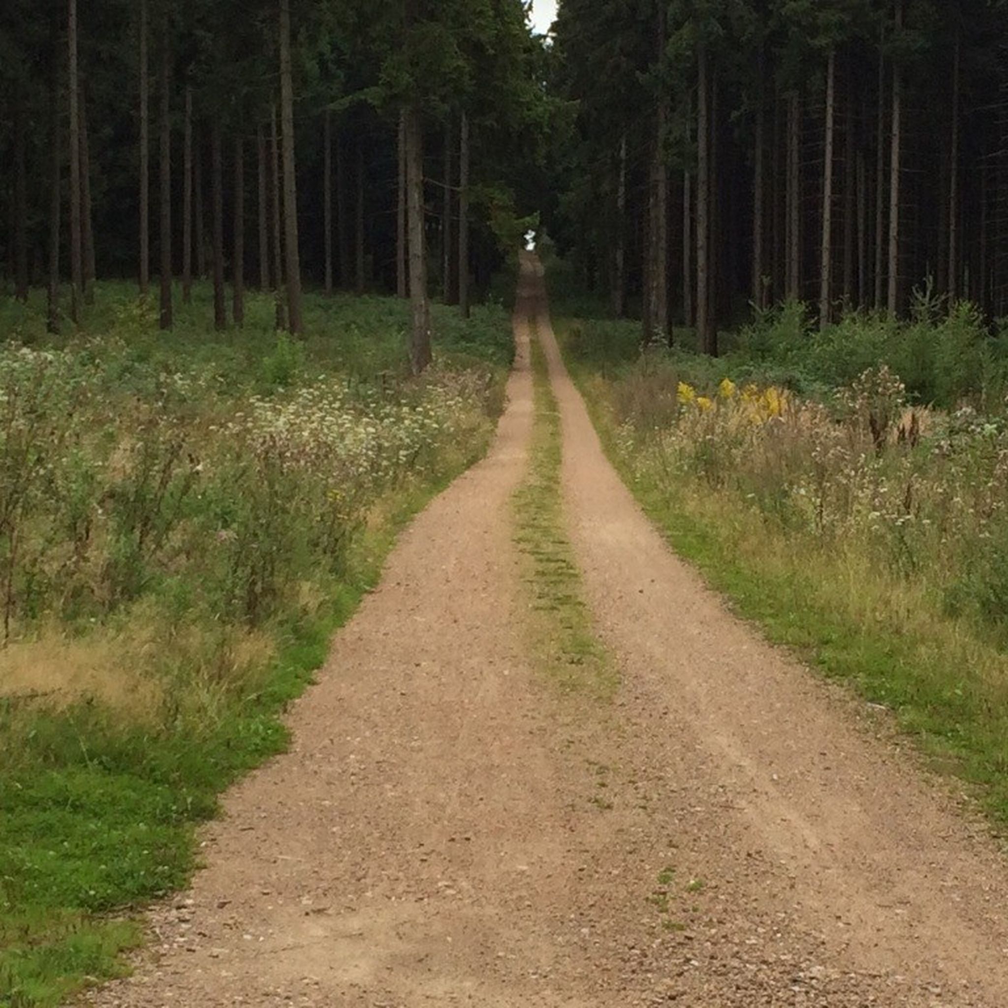
MTB Trails around Wiesbaden
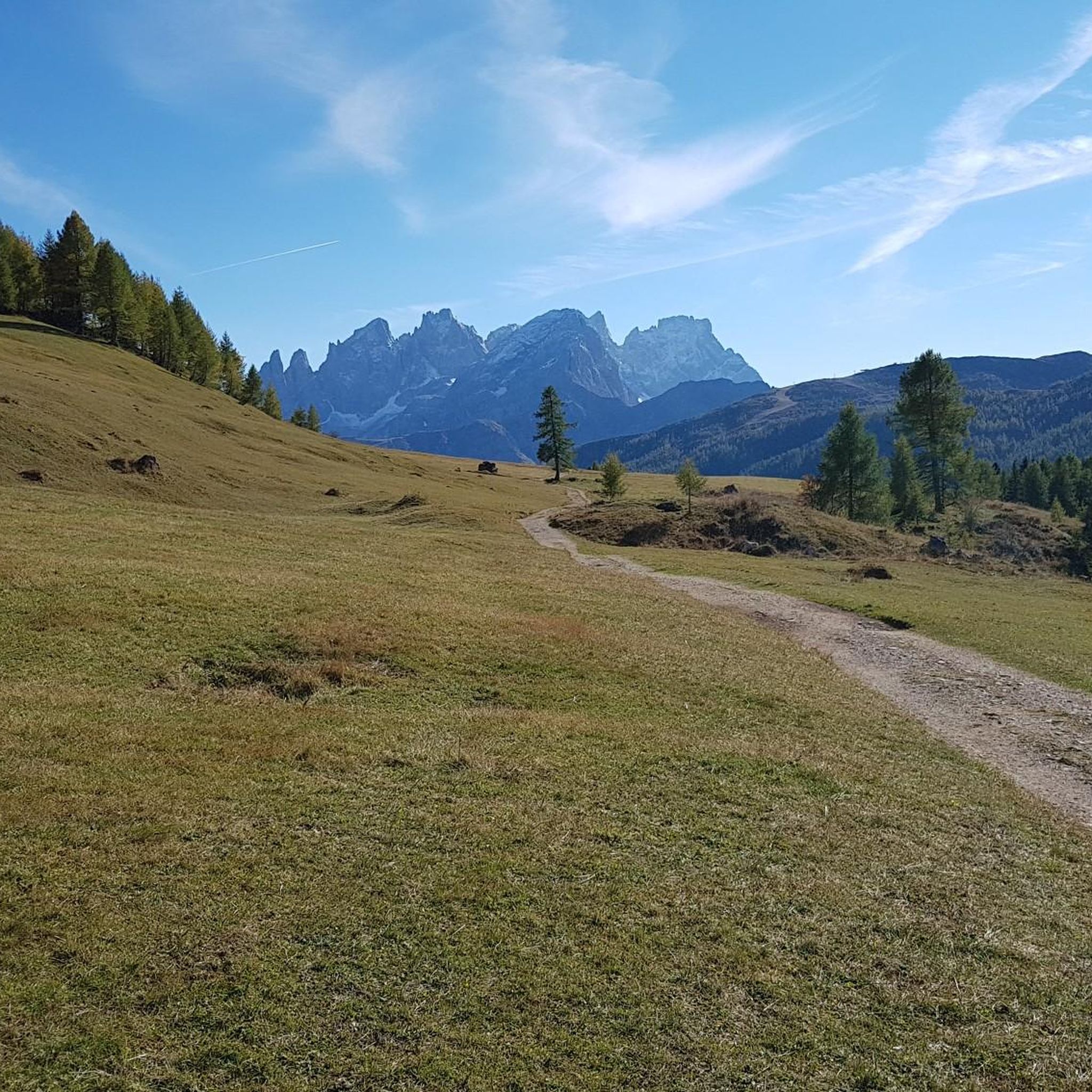
Gravel biking around Wiesbaden
Mountain Hikes around Wiesbaden
Other adventures around Wiesbaden


Tips from the Community

The Pegelhaus was completed in 1905 or 1909 and served for decades as the official measuring station for the Rhine's water level. Visually, it presents itself as a small, charming round tower in a historicizing style. With its light stone facade and dome-like roof, it fits perfectly into the representative riverside promenade. While the mechanical measuring technology was housed inside, the small house has a clearly visible scale on the outside. Historically, the facility is managed by the responsible Federal Waterways and Shipping Administration. The flood marks The Pegelhäuschen holds particular historical significance today as a cautionary monument to natural disasters. Striking flood marks are chiseled into its outer wall. They impressively document the highest historically recorded water levels in this section of the Rhine. Among the highest marked floods are the extreme flood events of 1882, 1920, 1993, and 1995. For strollers on the riverside promenade, the small house, located directly on the water, is a popular landmark and a photo motif that illustrates the close, sometimes dangerous, connection between the Biebrich district and the river.
10
0

The splendid Kurpark in Wiesbaden hosts a picturesque artificial lake (Kurparkweiher) located directly behind the Kurhaus. The body of water features a central island and a monumental fountain that spouts up to 6 meters high. Thermal Gardens | State Capital Wiesbaden. The park offers various activities to enjoy the pond area and its surroundings.
2
0
With a total length of around 1,233 kilometers, the Rhine is one of the longest, most historically significant, and economically important rivers in Europe. The river originates in the Swiss Alps, where it is formed from the two headwaters, the Vorder- and Hinterrhein. After flowing through Lake Constance, it plunges down at the Rhine Falls near Schaffhausen and then, as the High Rhine, forms the border between Switzerland and Germany. Further on, as the Upper Rhine, it flows through the Upper Rhine Plain past major cities such as Karlsruhe and Ludwigshafen, as well as directly past the region of Mainz and Wiesbaden. In this area, the river makes a sharp turn west at the so-called "Rhine Knee" (Rheinknie) before reaching the spectacular Middle Rhine. This section between Bingen and Koblenz – known as the Upper Middle Rhine Valley (Obere Mittelrheintal) – has been protected as a UNESCO World Heritage site since 2002 due to its density of castles, historic vineyards, and the legend of the Loreley rock. Via the Lower Rhine (Niederrhein) and the metropolitan regions of Cologne and Düsseldorf, the Rhine finally continues into the Netherlands. There it divides into a widely branched delta and finally flows into the North Sea near Rotterdam. As an international waterway, the Rhine is the logistical backbone of Western Europe. It connects major industrial centers and seaports directly with the hinterland, and is used annually by tens of thousands of cargo ships for the transport of coal, ores, containers, and chemical goods. In addition to its industrial function, the Rhine Valley serves as a lifeline for tourism, as a rich source of energy through hydropower plants, and as a valuable natural and recreational area for millions of people.
8
0
Here a beautiful metal bridge crosses the Rambach
3
0

A really cool area for biking.
0
0
Beautiful crossing at Schierster harbor
0
0

Useful poles for hanging.
0
0
Frequently Asked Questions
What types of running routes can I find in Wiesbaden?
Wiesbaden offers a diverse range of running experiences. You'll find hilly, wooded trails in the Taunus Mountains and around Neroberg for challenging workouts. For flatter, scenic runs, explore paths along the Rhine River. The city also boasts extensive green spaces and parks like the Kurpark and Nerotal-Anlagen Park, providing varied terrain from paved paths to gravel and natural forest floors.
Are there family-friendly running routes in Wiesbaden?
Yes, several areas are great for family runs. The Kurpark, Warmer Damm, and Kuranlagen offer a combined loop of approximately 7 km with landscaped paths, ideal for a relaxed family outing. The Kurpark Pathway – Path Along the Rambach loop from Sonnenberg is a 5 km route that explores these beautiful park settings.
Which running trails in Wiesbaden are dog-friendly?
Many of Wiesbaden's extensive green spaces and forest trails are suitable for running with dogs, provided they are kept on a leash where required. Areas like the Taunus Mountains, Neroberg, and the Rabengrund von Wiesbaden offer numerous wooded paths. The Wellritzbach Bridge – Birds on a Wire by the Stream loop from Rheingauviertel is an 11 km moderate route that takes you through varied terrain suitable for a run with your canine companion.
Are there easy or beginner-friendly running routes in Wiesbaden?
Absolutely. For beginners or those seeking an easier run, the flat paths along the Rhine River are excellent. The Theodor Heuss Bridge – Customs and Inland Port Mainz loop from Mainz-Kostheim is a moderate 9.3 km route with minimal elevation gain, offering a gentle introduction to running in the area. The Kurpark also provides relatively flat and well-maintained paths.
What scenic viewpoints can I enjoy along Wiesbaden's running routes?
Wiesbaden offers several scenic viewpoints. Running up to Neroberg provides panoramic views of the city and surrounding landscapes. You can also find great vistas along the Rhine River paths, such as the View of the Theodor Heuss Bridge and the city of Mainz. The Monopteros on the Neroberg is another notable landmark offering beautiful views.
Are there running routes in Wiesbaden accessible by public transport?
Many running routes in Wiesbaden are well-connected to public transport. Routes starting near the city center, such as those around the Kurpark, are easily reachable. The Path Along the Rambach – Villas at the Kurpark loop from Wiesbaden Hauptbahnhof starts conveniently close to the main train station, making it accessible for runners using public transport.
Where can I find parking for running trails in Wiesbaden?
Parking is generally available near many popular running areas. For routes around Neroberg, there are parking options at the base or near the funicular. For riverside runs, you can often find parking in districts like Wiesbaden-Schierstein or Mainz-Kostheim. The Schierstein Harbour – Biebrich Palace Park loop from Wiesbaden-Biebrich is a great option with parking often available near Biebrich Palace or Schierstein Harbour.
What historical or cultural sights can I see while running in Wiesbaden?
Wiesbaden's running routes often pass by significant historical and cultural landmarks. You can run through the historic Kurpark, past the impressive Biebrich Palace, or explore the area around the Sonnenberg Castle Ruins. The Biebrich Palace – Mosburg loop from Wiesbaden combines scenic running with views of these historical sites.
Are there any loop running trails in Wiesbaden?
Yes, many of Wiesbaden's running routes are designed as loops, offering convenient starting and ending points. Examples include the Nerobergbahn Funicular – Nerotal Park loop from Wiesbaden, which is a 6.9 km moderate loop, and the Leinpfad Riverside Path – Eltville Rhine Promenade loop from Wiesbaden-Schierstein, a longer 14.8 km option along the river.
What do other runners enjoy most about running in Wiesbaden?
The running routes around Wiesbaden are highly rated by the komoot community, with an average score of 4.3 stars from over 2300 reviews. Runners frequently praise the diverse landscapes, from the challenging hilly trails of the Taunus Mountains and Neroberg to the serene riverside paths along the Rhine. The abundance of well-maintained parks and green spaces, offering a mix of natural beauty and urban accessibility, is also a common highlight.
How many running routes are available in Wiesbaden?
There are over 790 running routes available around Wiesbaden on komoot. These routes cater to various fitness levels, with approximately 120 easy, 550 moderate, and 120 difficult options, ensuring there's a suitable trail for every runner.
Can I find running routes that pass through Biebrich Palace Park?
Yes, Biebrich Palace Park, known for its artistically designed landscapes and ancient trees, is a popular spot for runners. The Mosburg Ruins at Mosburg Pond – Biebrich Palace Park loop from Wiesbaden-Biebrich is a 7.6 km moderate route that takes you directly through this picturesque park.
Most popular routes around Wiesbaden
Most popular attractions around Wiesbaden

Get inspired with the komoot mobile app


Explore more
Browse the best Running Trails & Routes in other regions.
