The best cycling routes around Lurgantamry
4.8
(12)
196
riders
38
rides
Touring cycling around Lurgantamry offers routes through Northern Ireland's diverse countryside. The region features rolling hills, picturesque loughs, and a mix of rural landscapes. Cyclists can expect paths that traverse agricultural areas and connect to natural parks, providing varied terrain for exploration.
Best touring cycling routes around Lurgantamry
- The most popular touring cycling route is Dromore to Oxford Island loop, a 30.4 miles (49.0 km) trail that takes 2 hours 57 minutes to complete. This moderate route connects Dromore…
Last updated: June 27, 2026
1
riders
48.9km
02:58
370m
380m
Moderate bike ride. Good fitness required. Mostly paved surfaces. Suitable for all skill levels.
49.2km
03:08
610m
610m
Hard bike ride. Very good fitness required. Mostly paved surfaces. Suitable for all skill levels.

Sign up for free
53.6km
03:16
450m
450m
Hard bike ride. Very good fitness required. Mostly paved surfaces. Suitable for all skill levels.
6
riders
50.4km
03:00
360m
360m
Moderate bike ride. Good fitness required. Mostly paved surfaces. Suitable for all skill levels.
5.0
(1)
8
riders
24.4km
01:35
110m
110m
Easy bike ride. Great for any fitness level. Mostly paved surfaces. Suitable for all skill levels.
Get access to more routes and recommendations from other explorers.
Sign up for free
Already have an account?
Our route recommendations are based on thousands of hikes, rides, and runs completed by other people on komoot.
Start today with a free account
Your next adventure awaits.
Login or Signup

Tips from the Community

Small coffeeshop right by the river Bann, directly next to Sustrans Route 9 / Newry Canal Towpath. The cafe is practically on the roadside, making it a logical stop for cyclists following the canal path. The old brick building has a relaxed atmosphere; inside and out it's a place where cyclists and walkers cross paths. Ideal for a coffee, a small snack and a short break before you cycle back into the canal landscape towards Craigavon Lakes. Enjoyed the stop, but forgot the photo.
7
0
The entrance to Lisnamintry Rath (located on Ballygargan Road, near Portadown) is the gateway to one of the few officially protected archaeological monuments in this part of County Armagh. A rath is an early medieval fortified farmstead (c. 500–1000 AD) that formerly offered protection to families and their livestock against raiders. Not visible from the road.
1
0

Hollie Berrie is a good place for refreshments on the route at Scarva
0
1


The small town of Scarva, nestled between green meadows and the quiet canal, offers a welcome break on my bike tour through Northern Ireland. Here you cycle on well-maintained paths past historic bridges and small villages that give you the feeling that time has stood still. The British flags fluttering along the side of the road remind you that you are in a culturally special area - a detail that reflects the identity of the region. The route is easy to cycle, the surrounding landscape is gently rolling, which makes for pleasant cycling. The view of wide fields and rolling hills invites you to slow down now and then and take in the peace and quiet. A special feature of Scarva is the annual Orange Order March, which transforms the village into a kind of open-air stage once a year and keeps the traditions of this region alive.
1
0
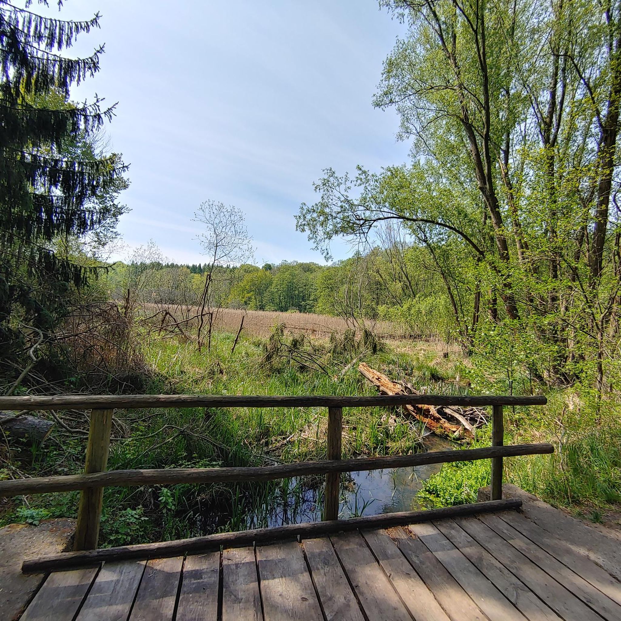
Located on the southern shore of Lough Neagh, the trail takes you through a tranquil landscape that is home to a diverse range of wildlife. If you're lucky, you might spot a shy badger, a heron on the bank, or even an otter gliding through the water. The sounds of buzzards circling above the treetops add an almost mystical touch to the setting. The Derrytrasna Cycle Route starts and ends right here, taking you on a relaxed loop that's perfectly integrated into the nature reserve. The paved path changes to a natural path that takes you through dense vegetation. The route is not demanding, but offers just the right mix of relaxation and a slight challenge. In the late afternoon, when the sun is lower and casts golden light over the lake, the island unfolds its very special charm. The scenery is almost picturesque - a nice opportunity to stop and simply enjoy the moment.
2
0
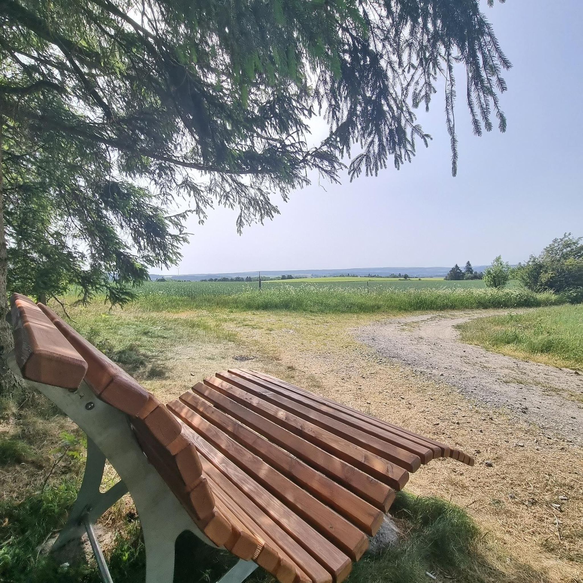
The paths are wide and perfect for families, as there are no cars to disturb you. As you glide along the car-free cycling and hiking trails, you can enjoy the view of the water - especially when the sky is cloudy, the lake has a very special atmosphere, almost mystical. The route is mostly asphalt, but there are also some gravel sections that provide some variety. These single-track paths add a certain challenge to the route without being really demanding. Ideal if you prefer to take it easy, but still don't want to just walk on smooth asphalt. If you want to take a break, the lake offers many corners to catch your breath and have a picnic. There is enough space on the banks to rest a bit and enjoy the surroundings to the fullest.
0
0
In the middle of the quiet residential area of Annagh Meadows, just a stone's throw from Tandragee Road, the Annagh Pillbox suddenly appears - a relic from the dark days of the Second World War. Its massive concrete walls and narrow loopholes tell of a time when defence along the River Bann was a top priority here. Today it seems a little out of place, surrounded by manicured gardens and modern houses, but that is precisely what gives it a special aura. The interpretive panel next to the bunker is worth a look - it brings you a little closer to the events of that time and reminds you how close the war was here too. The pillbox itself is in remarkably good condition, which is probably thanks to the care taken by the local council. It is worth a short detour to explore this historic corner and pause for a moment. You might wonder what it must have been like back then, when the view from here still extended unobstructed to the river, where you once had to keep an eye on the course of the Bann Line.
0
0
Frequently Asked Questions
What kind of terrain can I expect on touring cycling routes around Lurgantamry?
Touring cycling around Lurgantamry offers a diverse landscape, characterized by rolling hills, picturesque loughs, and a mix of rural countryside. You'll find paths traversing agricultural areas and connecting to natural parks, providing varied terrain for exploration across Northern Ireland's beautiful environment.
How many touring cycling routes are available in the Lurgantamry area?
There are over 40 touring cycling routes available around Lurgantamry. These routes cater to various skill levels, from easy lakeside loops to more challenging rides through elevated terrain.
Are there any easy touring cycling routes suitable for beginners or families in Lurgantamry?
Yes, Lurgantamry offers several easy touring cycling routes perfect for beginners or families. A great option is the Craigavon Balancing Lakes – Craigavon Lakes loop from Lurgan, an easy 15.2-mile (24.4 km) path that provides a gentle ride around the scenic Craigavon Lakes.
What are some of the more challenging touring cycling routes in Lurgantamry?
For experienced touring cyclists seeking a challenge, routes like the Banbridge to Windy Gap loop — Mourne offer a more demanding experience. This 30.5-mile (49.2 km) trail leads through the Mourne area with significant elevation changes. Another difficult option is the Banbridge to Craigavon Lakes loop, covering 53.5 km.
Are there any circular touring cycling routes in Lurgantamry?
Many of the touring cycling routes in Lurgantamry are designed as loops, offering convenient circular journeys. For example, the popular Dromore to Oxford Island loop is a 30.4-mile (49.0 km) circular route connecting Dromore with the scenic Oxford Island area.
What kind of attractions or landmarks can I see along the touring cycling routes?
While cycling, you can explore various points of interest. Near the routes, you might encounter historical sites like the Moyallan Pillbox or the Dromore Viaduct. Natural features include the Lisnamintry Rath Entrance and the tranquil Lurgan Park Lake. The Broad Water Cycle Path itself is a notable trail to explore.
What do other touring cyclists enjoy most about cycling in Lurgantamry?
The touring cycling routes in Lurgantamry are highly rated by the komoot community, with an average score of 4.8 stars from more than 10 reviews. Cyclists often praise the varied terrain, from rolling hills to lough-side paths, and the opportunity to immerse themselves in Northern Ireland's natural beauty and culture.
Is Lurgantamry suitable for multi-day touring cycling trips?
Yes, the broader region of Northern Ireland, which Lurgantamry is part of, is recognized as an excellent destination for cycling holidays. While specific multi-day routes are not detailed here, the area's diverse landscapes and support services for cyclists (like B&B accommodation and luggage transfers in the wider region) make it conducive for longer tours, allowing you to explore at your own pace.
Are there any specific considerations for parking when accessing touring cycling routes in Lurgantamry?
While specific parking details for each route are not provided here, many routes in the Lurgantamry area, especially those starting from towns like Lurgan or Banbridge, will have public parking facilities available. It's advisable to check local parking options in the starting towns before your ride.
What is the best time of year to go touring cycling in Lurgantamry?
The best time for touring cycling in Lurgantamry, like much of Northern Ireland, is typically during the spring, summer, and early autumn months (April to October). During these periods, the weather is generally milder and more predictable, offering more pleasant conditions for exploring the countryside and lough-side paths.
Are there any touring cycling routes that pass by lakes or water bodies?
Yes, several routes in the Lurgantamry area feature picturesque loughs and water bodies. The Craigavon Balancing Lakes – Craigavon Lakes loop from Lurgan is a prime example, offering a ride directly around the beautiful Craigavon Lakes. The region's landscape is known for its loughs, providing scenic waterside cycling experiences.
Most popular attractions around Lurgantamry

Get inspired with the komoot mobile app


Explore more
Browse the best Cycling routes in other regions.
