The best running trails around Burrenbane
4.7
(17)
2,498
runners
114
runs
Jogging routes around Burrenbane traverse a distinctive landscape characterized by its karst limestone formations, exposed grey rock, and intricate fissures. The region also features a coastline offering scenic views and tranquil loughs. Within this varied terrain, the Burren National Park provides numerous trails suitable for running, including forested areas and paths with elevation gain.
Best jogging routes around Burrenbane
- The most popular jogging route is Tollymore Forest Park – Parnell's Bridge loop from Bryansford, an 8.0 miles (12.9 km)…
Last updated: October 15, 2026
4.0
(1)
170
runners
13.1km
01:29
230m
230m
Moderate run. Good fitness required. Mostly paved surfaces. Suitable for all skill levels.
111
runners
7.64km
01:03
280m
280m
Moderate run. Good fitness required. Mostly paved surfaces. Suitable for all skill levels.

107
runners
10.4km
01:09
230m
230m
Moderate run. Good fitness required. Mostly paved surfaces. Suitable for all skill levels.
55
runners
10km
01:12
240m
240m
Moderate run. Good fitness required. Mostly paved surfaces. Suitable for all skill levels.
30
runners
Moderate run. Good fitness required. Mostly paved surfaces. Suitable for all skill levels.
Get access to more routes and recommendations from other explorers.
Already have an account?
Our route recommendations are based on thousands of hikes, rides, and runs completed by other people on komoot.
Start today with a free account
Your next adventure awaits.

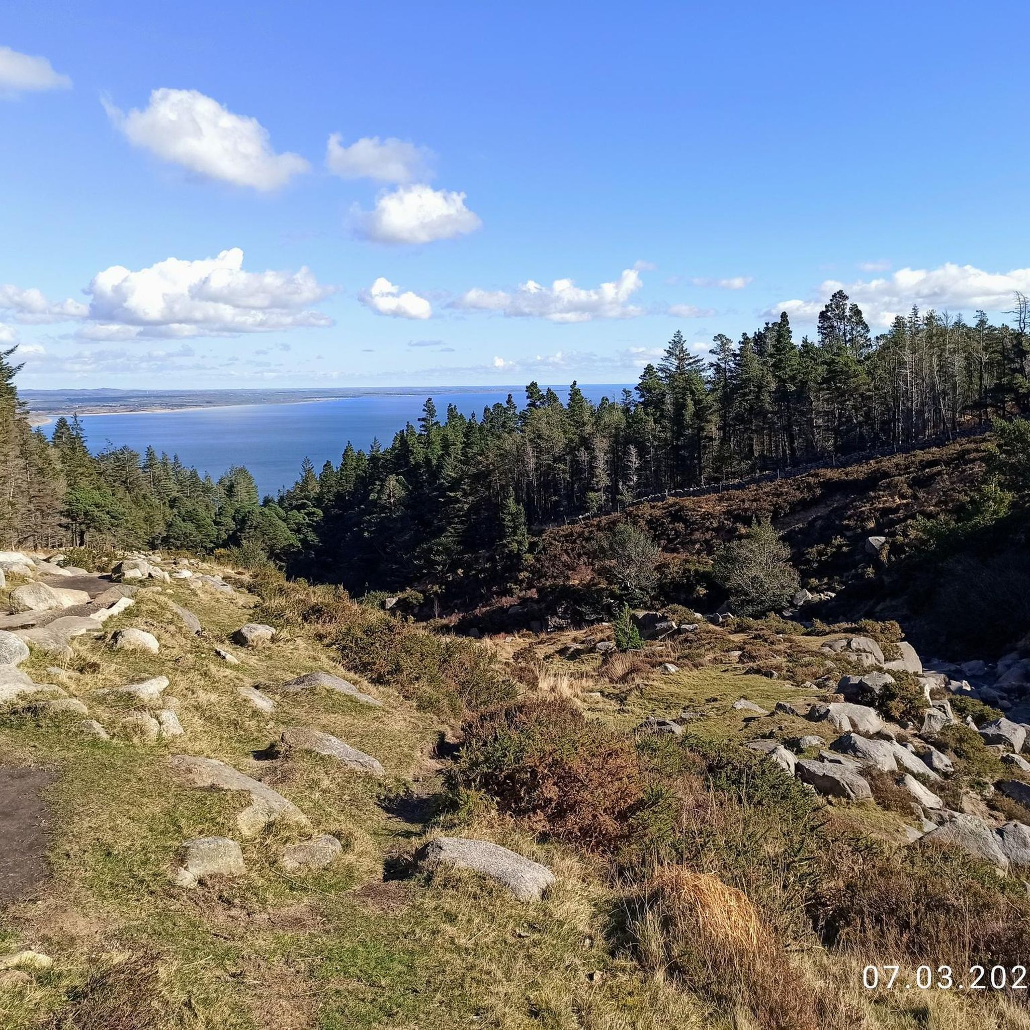
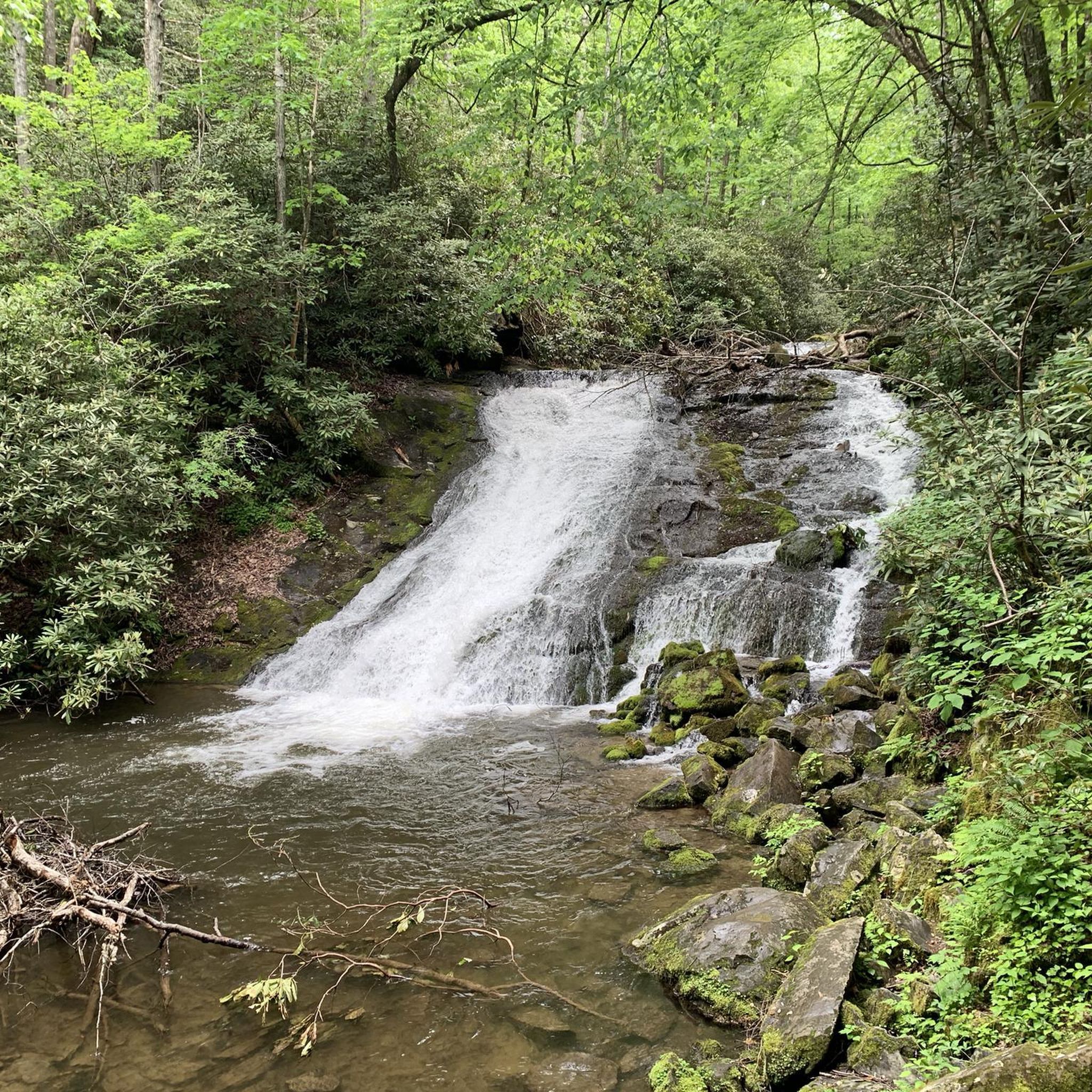
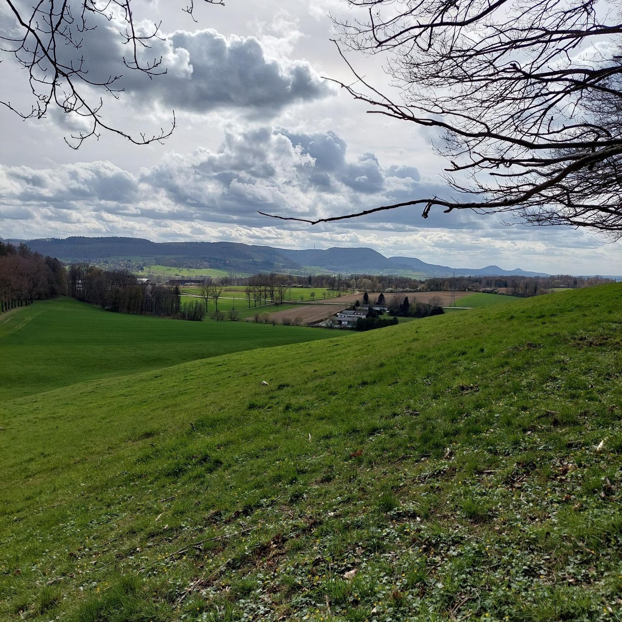
Tips from the Community

Wikipedia (Tollymore Forest Park, 2026-08-15): https://en.m.wikipedia.org/wiki/Tollymore_Forest_Park “... The Ivy Bridge was built in 1780 and Foley's Bridge in 1787. …”
2
0
FACEBOOK (History of Newcastle, Co. Down, Hore's Bridge, 2026-08-15): https://www.facebook.com/HistoryofNewcastleCo.Down/photos/hores-bridge-over-the-spinkwee-river-sw-tollymore-was-built-in-1824-the-date-is-/754755631362196/ “… Hore's Bridge over the Spinkwee River, SW Tollymore, was built in 1824. …”
1
0
The stepping stones are currently fenced off. Please use the nearby bridges to cross the Shimna River.
2
0
Wikipedia (Tollymore Forest Park, 2026-08-14): https://en.m.wikipedia.org/wiki/Tollymore_Forest_Park “... Parnell Bridge, named in recognition of Sir John Parnell who visited Tollymore in the late 18th century, was constructed in 1842. It was the last stone bridge to be built in Tollymore. …”
2
0
Wikipedia (Tollymore Forest Park, 2026-08-14): https://en.m.wikipedia.org/wiki/Tollymore_Forest_Park “... The Hermitage is a small stone shelter designed by James Hamilton (2nd Earl of Clanbrassil) in the 1770s in memory to his friend the John Montagu, Marquess of Monthermer. It is built into the side of the gorge above the river and was used as a place for ladies to shelter while the men fished. There is an inscription in Greek within the Hermitage which translates as "Clanbrassil, to his very dear friend Monthermer 1770". …”
2
0
Wikipedia (Tollymore Forest Park, 2026-08-14): https://en.m.wikipedia.org/wiki/Tollymore_Forest_Park “... Horn Bridge crosses a small culverted burn (stream) and is crossed by a gravel road. The burn below the bridge is covered with a board walk connected to a path. It was built c.1770 by either the 1st or 2nd Earl. ...”
1
0

The park has no entry fee, you only have to pay 5 £ for parking.
1
0

Easy route no special gear required. Very scenic
0
0
Frequently Asked Questions
How many running routes are available in the Burrenbane area?
The Burrenbane region offers a wide selection of running trails, with over 130 routes available for you to explore. These routes cater to various fitness levels, from easy paths to more challenging runs with significant elevation gain.
What kind of terrain can I expect on jogging trails in Burrenbane?
Jogging in Burrenbane means experiencing a truly unique landscape. You'll encounter the distinctive karst limestone formations, exposed grey rock, and intricate fissures. Many routes also feature scenic coastal paths, tranquil loughs like Lough Avalla, and forested areas, providing a diverse and visually captivating backdrop for your run.
Are there running routes suitable for beginners or families in Burrenbane?
Yes, Burrenbane offers several running routes perfect for beginners or families. There are 8 easy routes designed for minimal elevation and shorter distances, making them ideal for a relaxed jog. The Tollymore Forest Park – Parnell's Bridge loop from Bryansford, for instance, is a moderate route through a well-established forest park that many find enjoyable.
What do other runners enjoy most about the trails in Burrenbane?
The running trails in Burrenbane are highly regarded by the komoot community, boasting an average rating of 4.7 stars from over 10 reviews. Runners frequently praise the varied terrain, from the unique limestone landscapes to the serene forest paths, and the opportunities to discover hidden gems and scenic viewpoints along the way.
Are there dog-friendly running trails in the Burrenbane area?
While the Burren National Park itself has specific guidelines regarding dogs, many trails in the broader Burrenbane region are suitable for running with your canine companion. It's always best to check local signage and regulations for specific routes, especially concerning lead requirements, to ensure a pleasant experience for everyone.
Are there circular running routes available in Burrenbane?
Yes, many of the running routes in Burrenbane are designed as circular loops, allowing you to start and finish at the same point. Examples include the popular Old Shed in Mourne AONB – View of the Pond loop from Bryansford and the Slievenaslat Summit – View of Castlewellan Castle loop from Castlewellan, which offers varied terrain and a summit viewpoint.
What interesting sights or landmarks can I see while jogging in Burrenbane?
Burrenbane's running routes often pass by fascinating landmarks and natural features. You might encounter historical sites like Dundrum Castle or the Clough Castle Ruins. Natural highlights include viewpoints like Slieve Bearnagh and the Summit of Slieve Donard, or the expansive Tollymore Forest Park. The region's unique karst landscape itself is a major attraction.
Are there any running routes with waterfalls or unique geological features?
Absolutely! The Burrenbane area is rich in natural wonders. You can find routes that feature waterfalls, such as the Boundary Bridge – Shimna River Waterfall loop from Bryansford. The entire region is also a geological marvel, with its distinctive karst limestone formations, intricate fissures, and even hidden cave systems, offering a truly unique running experience.
Is parking available near the running trails in Burrenbane?
Parking is generally available at or near the starting points of many popular running trails in Burrenbane, especially those within designated parks or trailheads. However, it's always advisable to check specific route details on komoot or local visitor information for precise parking locations and any potential fees.
What is the best season for running in Burrenbane?
The Burrenbane region offers enjoyable running conditions throughout much of the year. Spring and autumn provide pleasant temperatures and beautiful scenery, with the unique flora of the Burren coming alive. Summer is also popular, though some exposed limestone areas can get warm. Winter running is possible, but be prepared for potentially wet and windy conditions, especially on higher ground.
What should I bring for a run in Burrenbane?
Given the varied terrain and sometimes unpredictable weather in Burrenbane, it's wise to bring appropriate gear. This includes sturdy running shoes suitable for uneven surfaces, layers of clothing, waterproof outerwear, water, snacks, and a fully charged phone. For longer or more remote runs, consider a map or GPS device, as well as a basic first-aid kit.
Most popular routes around Burrenbane
Most popular attractions around Burrenbane

Get inspired with the komoot mobile app


Explore more
Browse the best Running Trails & Routes in other regions.
