The best road cycling routes around Ballykeel
4.7
(14)
843
riders
156
rides
Road cycling around Ballykeel features a landscape characterized by rolling hills and open countryside, providing varied terrain for road cyclists. The region offers routes with diverse elevation profiles, from gentle gradients to more challenging ascents. These paths navigate through agricultural areas and local roads, connecting several small communities. The network of road cycling routes around Ballykeel caters to different skill levels, ensuring options for both casual rides and more demanding training sessions.
Best road cycling routes around Ballykeel
- The most popular road cycling route is Right Turn loop from Drumlough, a 13.8 miles (22.3 km) easy trail that takes 1 hour 3 minutes to complete, offering gentle gradients through the local countryside.
- Another top favourite among local road cyclists is Roadbike loop from Annahilt, a moderate 23.6 miles (38.0 km) path that traverses varied terrain with moderate climbs.
- Local road cyclists also love the Roadbike loop from Magheraconluce, a 32.7 miles (52.7 km) trail leading through rolling landscapes and open roads, often completed in about 2 hours 16 minutes.
- Road cycling around Ballykeel is defined by rolling hills, open countryside, and varied elevation profiles. The network offers options for different ability levels, from easy loops to more difficult routes.
- The routes in Ballykeel are highly rated by the komoot community with an average score of 4.7 stars from more than 5 reviews. More than 850 road cyclists have used komoot to explore Ballykeel's varied terrain.
Last updated: July 5, 2026
8
riders
56.9km
02:26
430m
430m
Moderate road ride. Good fitness required. Some segments of this route may be unpaved and difficult to ride.
5
riders
22.3km
01:04
260m
260m
Easy road ride. Great for any fitness level. Mostly well-paved surfaces and easy to ride.

Sign up for free
4
riders
38.0km
01:40
310m
310m
Moderate road ride. Good fitness required. Mostly well-paved surfaces and easy to ride.
5.0
(1)
4
riders
54.6km
02:22
420m
420m
Moderate road ride. Good fitness required. Mostly well-paved surfaces and easy to ride.
6
riders
26.1km
01:07
210m
210m
Easy road ride. Great for any fitness level. Mostly well-paved surfaces and easy to ride.
Get access to more routes and recommendations from other explorers.
Sign up for free
Already have an account?
Our route recommendations are based on thousands of hikes, rides, and runs completed by other people on komoot.
Start today with a free account
Your next adventure awaits.
Login or Signup
Popular around Ballykeel
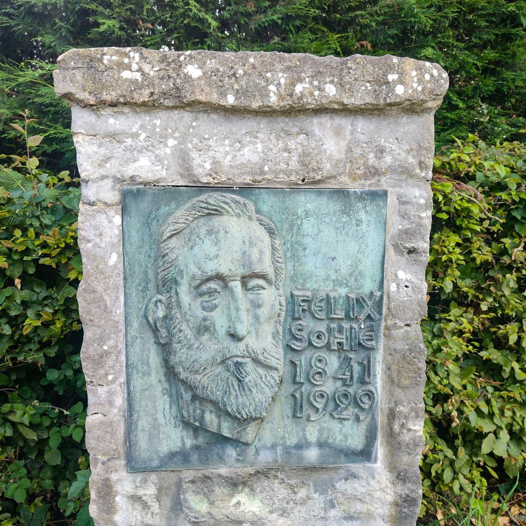

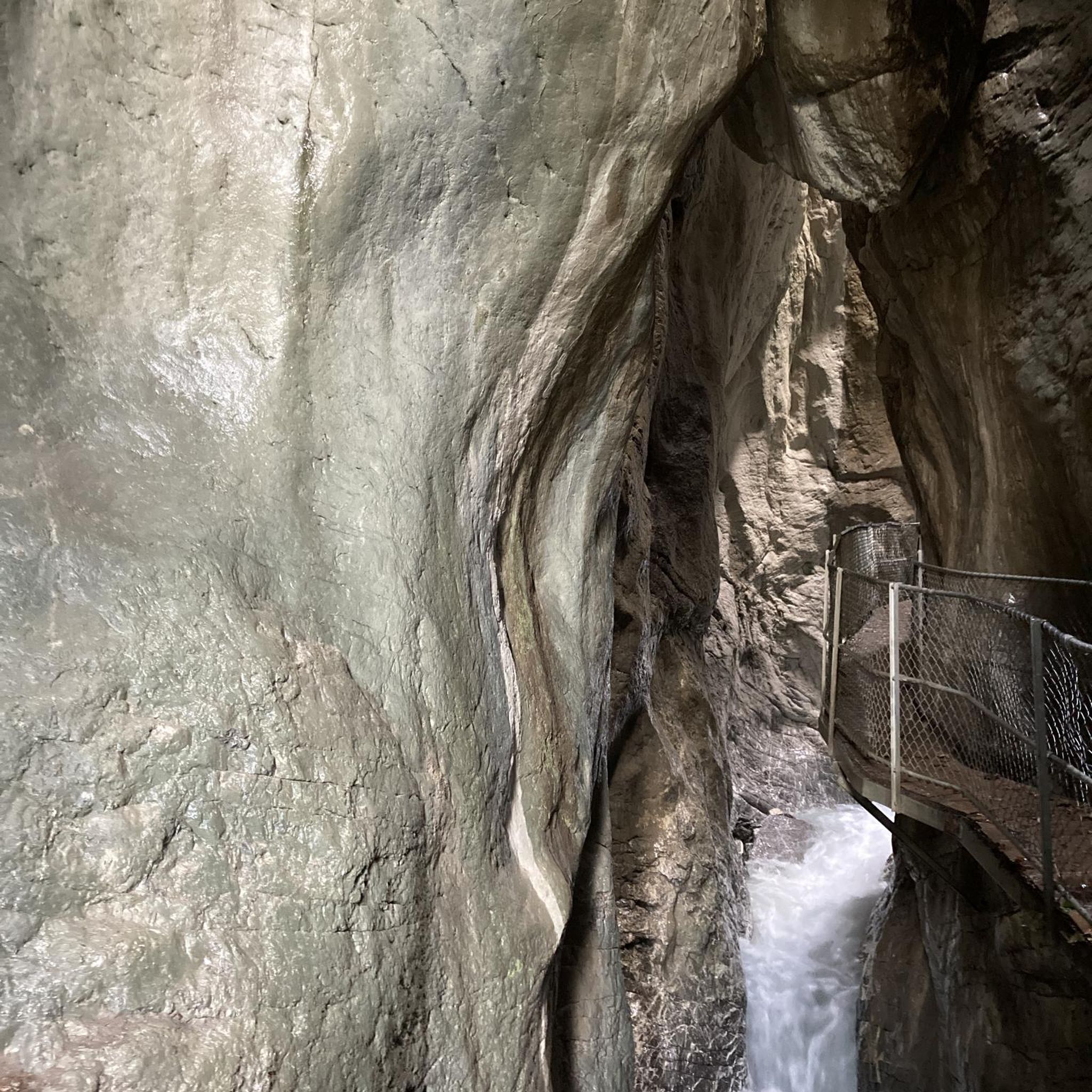
Tips from the Community

If you want to get to Belfast city center without a car and stress, this is the right place.
1
0

The Castle has over 100 acres of ornamental lawns, peaceful woodlands and picturesque glens to discover. Dogs are not permitted within the gardens and café unless they are trained assistance dogs.
0
0

Heading towards Dromara is difficult from the very start. Easier start if heading towards Belfast and Ballynahinch.
0
0
Windmill Hill is steeped in history. The remains of a windmill at the top of the hill are a reminder of a bygone era. Built in the late 1700s, the mill was used to grind wheat for the production of flour. But the picturesque site has also witnessed turbulent times and holds memories of the Battle of Ballynahinch. The battle, on June 12, was part of the 1798 Irish Rebellion fought between British forces and the United Irishmen.
0
0

Frequently Asked Questions
What kind of road cycling difficulty can I expect in Ballykeel?
Ballykeel offers a range of road cycling routes suitable for various skill levels. You'll find easy routes with gentle gradients, such as the Right Turn loop from Drumlough, which is 13.8 miles long. There are also moderate paths like the Roadbike loop from Annahilt, traversing varied terrain with moderate climbs, and more challenging options for experienced cyclists, including routes with significant elevation gain.
Are there any beginner-friendly road cycling routes in Ballykeel?
Yes, Ballykeel has several beginner-friendly road cycling routes. The region is known for its rolling hills and open countryside, providing options with gentle gradients. An excellent choice for beginners is the Right Turn loop from Drumlough, an easy 13.8-mile trail that takes about an hour to complete.
Where can I find parking for road cycling routes in Ballykeel?
While specific parking areas for each route are not always designated, many road cycling routes in Ballykeel start and end near small communities or rural areas. It's common for cyclists to find suitable roadside parking or use facilities in nearby villages, ensuring they do not obstruct local traffic or private access.
What are the typical distances and durations for road cycling routes in Ballykeel?
Road cycling routes in Ballykeel vary significantly in distance and duration. You can find shorter loops like the Right Turn loop from Drumlough, which is 13.8 miles (22.3 km) and takes about 1 hour. Longer routes, such as the Roadbike loop from Magheraconluce, cover 32.7 miles (52.7 km) and can take over 2 hours, offering more extensive exploration of the rolling landscapes.
Are there any family-friendly road cycling options in Ballykeel?
For families looking to cycle together, Ballykeel offers routes with easier gradients and less traffic, particularly on quieter rural roads. The Harry Ferguson Memorial Garden loop from Magheraconluce is an easy 16.5-mile route that could be suitable for families with some cycling experience, offering a pleasant ride through the countryside.
What is the best time of year for road cycling in Ballykeel?
The best time for road cycling in Ballykeel is generally from spring through early autumn (April to October). During these months, the weather is typically milder and more stable, with longer daylight hours, making for more enjoyable rides through the open countryside and rolling hills. Winter cycling is possible but requires appropriate gear for colder, potentially wetter conditions.
Are there cafes or refreshment stops along the road cycling routes in Ballykeel?
While the routes navigate through agricultural areas and local roads, connecting several small communities, specific cafes directly on every route are not guaranteed. However, planning your ride to pass through or near villages like Drumlough, Annahilt, or Magheraconluce will increase your chances of finding local shops or cafes for refreshments.
What scenic viewpoints or landmarks can I see while road cycling in Ballykeel?
Road cycling in Ballykeel offers views of open countryside and rolling hills. Along some routes, you might encounter notable landmarks. For instance, the Harry Ferguson Memorial Garden – Trassey Road loop from Drumlough passes by the Harry Ferguson Memorial Garden. Other attractions in the wider area include the Slieve Croob Summit and Drumkeeragh Forest.
Are there many loop road cycling routes available in Ballykeel?
Yes, loop routes are a prominent feature of road cycling in Ballykeel, allowing cyclists to start and finish in the same location without retracing their steps. Examples include the Right Turn loop from Drumlough, the Roadbike loop from Annahilt, and the Roadbike loop from Magheraconluce, all designed for circular journeys through the region's varied terrain.
What do other road cyclists enjoy most about road cycling in Ballykeel?
The komoot community highly rates road cycling in Ballykeel, with an average score of 4.7 stars from over 850 visitors. Cyclists often praise the region's varied terrain, which includes rolling hills and open countryside, catering to different skill levels. The network of routes is appreciated for connecting small communities and offering both casual rides and more demanding training sessions.
How many road cycling routes are available in Ballykeel?
There are over 170 road cycling routes available in Ballykeel, offering a wide variety of options for cyclists. This includes 51 easy routes, 120 moderate routes, and 5 difficult routes, ensuring there's something for every experience level.
Most popular routes around Ballykeel
Most popular attractions around Ballykeel

Get inspired with the komoot mobile app


Explore more
Browse the best Road cycling routes in other regions.
