The best MTB trails around Slievenaboley
5.0
(3)
53
riders
4
rides
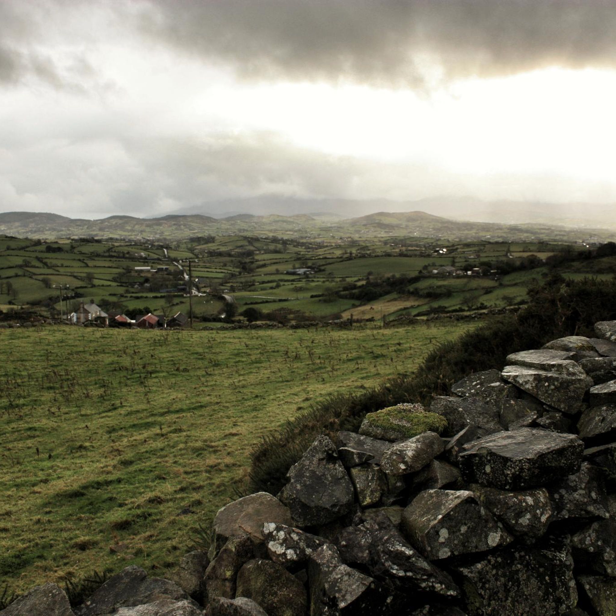
Mountain biking around Slievenaboley offers varied terrain within the Dromara Hills, providing expansive views of the Mourne Mountains and surrounding landscapes. The area features a mix of rolling hills, forested sections, and open country, with elevations reaching up to 324 meters on Slievenaboley itself. Nearby Slieve Croob, at 534 meters, adds to the challenging and rewarding terrain suitable for mountain biking. This region provides a less crowded alternative to more well-known areas, appealing to those seeking tranquil routes.
Best mountain…
Last updated: June 29, 2026
5.0
(3)
34
riders
16.4km
01:21
190m
190m
Easy mountain bike ride. Great for any fitness level. Suitable for all skill levels.
13
riders
Easy mountain bike ride. Great for any fitness level. Suitable for all skill levels.

Sign up for free
2
riders
58.6km
03:37
750m
750m
Moderate mountain bike ride. Good fitness required. Suitable for all skill levels.
2
riders
56.4km
04:09
900m
900m
Moderate mountain bike ride. Good fitness required. Suitable for all skill levels.
2
riders
66.8km
04:02
720m
720m
Moderate mountain bike ride. Good fitness required. Suitable for all skill levels.
Our route recommendations are based on thousands of hikes, rides, and runs completed by other people on komoot.
Start today with a free account
Your next adventure awaits.
Login or Signup
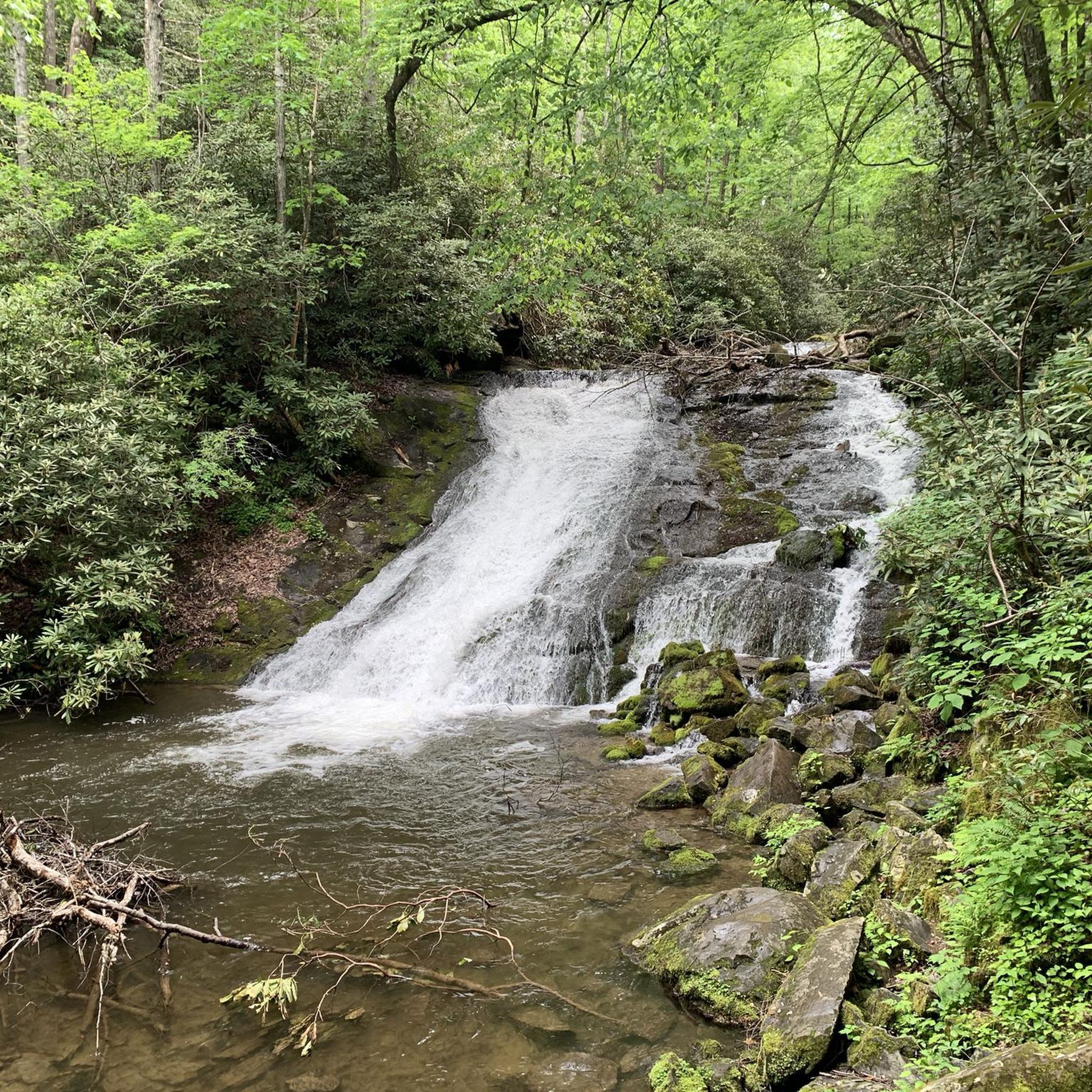
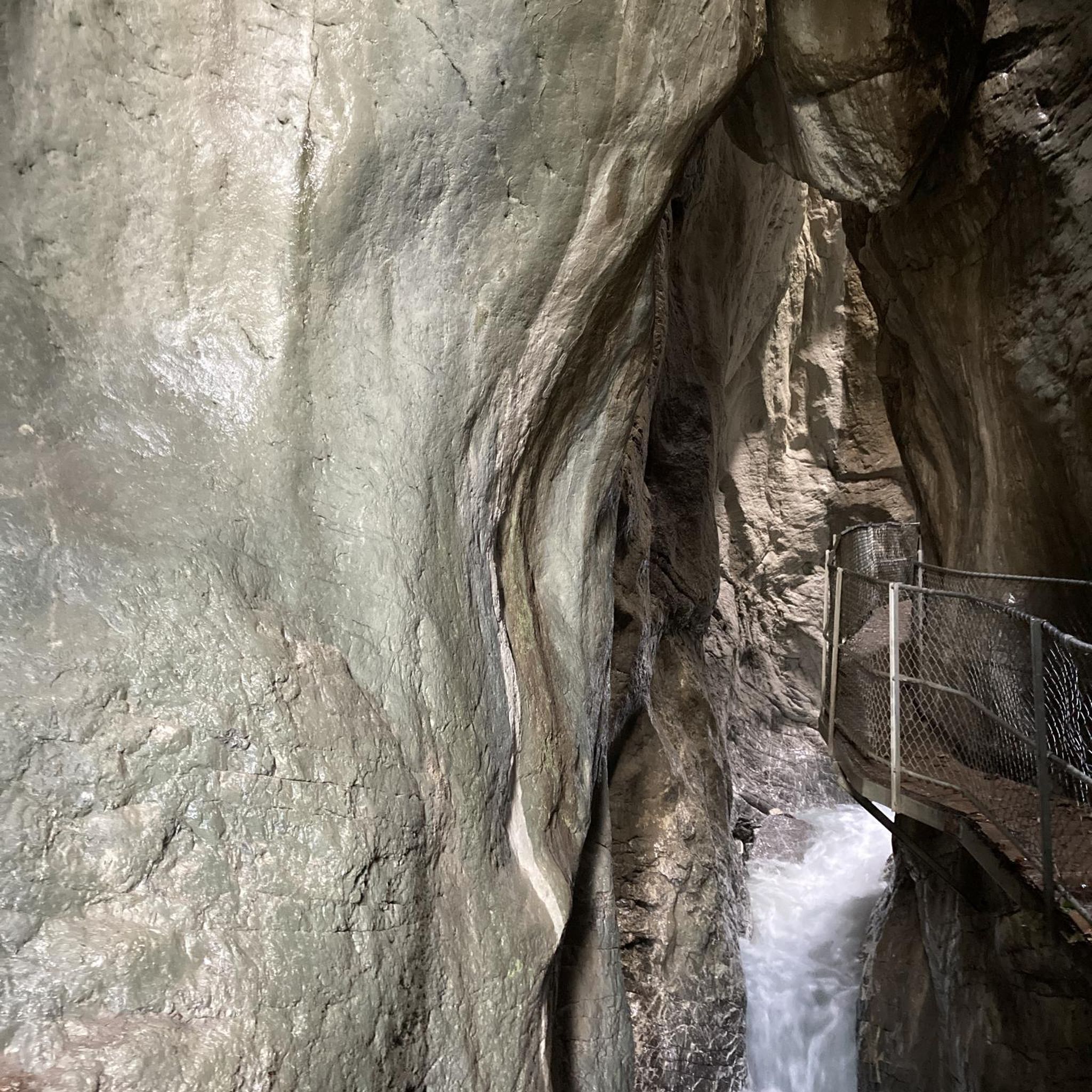
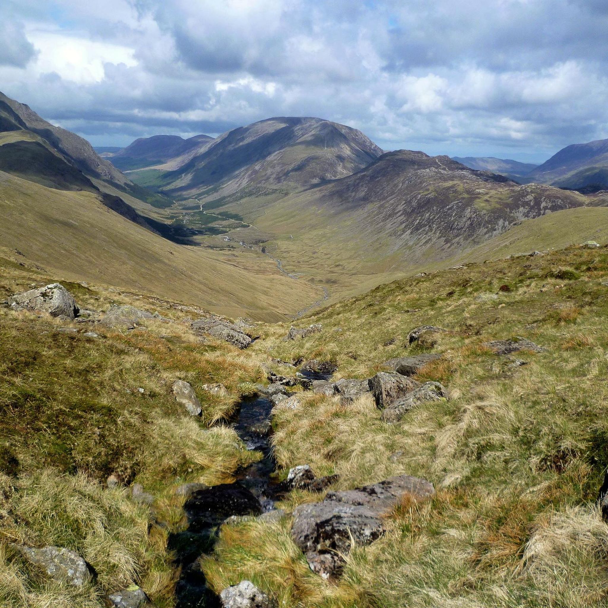
Tips from the Community

Super nice break spot
0
0
A very beautiful castle in the forest
0
0
Reservoir with castle and forest
0
0
A beautiful reservoir surrounded by forest including a beautiful castle
0
0
A different way of crossing the river, simply from stone to stone
0
0

In this enchantingly beautiful forest with bridges and remains of walls, scenes for Game of Thrones were filmed and we also find light trees, forklifts and signposts to Scene 1 to 3 in the middle of the forest for various shots. We even meet Game of Thrones fans in costumes on a bridge - or were we unnoticed extras in a film?
1
0
Here it is a joy to cross the Schimna River, a wonderful change.
2
0
Frequently Asked Questions
How many mountain bike trails are available around Slievenaboley?
There are several mountain bike routes around Slievenaboley, with a total of 4 tours listed in this guide. These routes offer a mix of easy and moderate options, exploring the varied terrain of the Dromara Hills.
Are there any easy mountain bike trails suitable for beginners or families?
Yes, there are easy routes perfect for beginners or families. For example, the Castlewellan Lake – Bunkers Hill loop from Castlewellan is an easy 16.1 km (10.0 miles) trail that explores the scenic paths around Castlewellan Lake. Another easy option is the View of Mourne AONB – Castlewellan Lake loop from Dollys Brae Car Park, which is 5.9 km (3.7 miles) long.
What kind of terrain can I expect on the mountain bike trails in the Slievenaboley area?
The Slievenaboley area, nestled within the Dromara Hills, offers diverse terrain. You can expect a mix of rolling hills, forested sections, and open country. Routes often feature forest paths, shared trails, and some road sections, providing varied surfaces for mountain biking. The area is known for its less crowded paths compared to other parts of the Mournes.
Are there any circular mountain bike routes around Slievenaboley?
Yes, all the routes featured in this guide are circular. For instance, the Dromore Motte and Bailey – Drumkeeragh Forest loop from Ballyroney Road is a moderate 58.7 km (36.5 miles) circular path that takes you through Drumkeeragh Forest and open terrain.
What are the best times of year to go mountain biking around Slievenaboley?
The Dromara Hills, including Slievenaboley, are beautiful year-round. Spring and summer offer lush greenery and wildflowers, including orchids and bog asphodel in early summer. Autumn provides stunning foliage. While the trails are accessible most of the year, checking local weather conditions is always advisable, especially during winter months when paths can be wet or muddy.
What interesting landmarks or attractions can I see along the mountain bike routes?
The area boasts several points of interest. You can enjoy panoramic views from Slieve Croob Summit, or spot Castlewellan Castle and its surrounding lake. The ancient Legananny Dolmen is another notable historical site nearby, adding a cultural touch to your ride.
Are the mountain bike trails around Slievenaboley dog-friendly?
Many trails in the Slievenaboley area, particularly those in open country and shared paths, are generally dog-friendly. However, it's always recommended to keep dogs under control, especially near livestock, and to check specific park or forest regulations if you plan to enter designated areas like Castlewellan Forest Park. Always carry waste bags and clean up after your pet.
Where can I find parking for mountain biking near Slievenaboley?
Parking is typically available at trailheads or designated car parks near popular starting points for routes. For example, routes exploring Castlewellan Lake often start from Castlewellan itself, where parking facilities are available. For routes like the View of Mourne AONB – Castlewellan Lake loop, parking can be found at Dollys Brae Car Park.
What do other mountain bikers enjoy most about the Slievenaboley area?
The Slievenaboley area is highly rated by the komoot community, with an average score of 5.0 stars. Reviewers often praise the stunning panoramic views of the Mourne Mountains and surrounding landscapes, the less crowded trails offering a sense of solitude, and the varied terrain that provides both challenging climbs and rewarding descents.
Are there any long-distance mountain bike routes for experienced riders?
Yes, for experienced riders looking for longer distances, there are moderate routes available. The View of Castlewellan Castle – Castlewellan Lake loop from Ballyroney Road is a challenging 67.4 km (41.9 miles) route, and the Trassey Road loop from Ballyroney Road covers 56.3 km (35.0 miles) through varied landscapes.
Can I find cafes or pubs near the mountain bike trails in Slievenaboley?
While Slievenaboley itself is a mountain summit, the surrounding towns and villages in the Dromara Hills area, such as Castlewellan or Dromara, offer options for cafes, pubs, and accommodation. It's advisable to plan your route to pass through or near these settlements if you intend to stop for refreshments.
Most popular attractions around Slievenaboley

Get inspired with the komoot mobile app


Explore more
Browse the best MTB trails in other regions.
