The best running trails around Oderaue
4.8
(22)
327
runners
79
runs
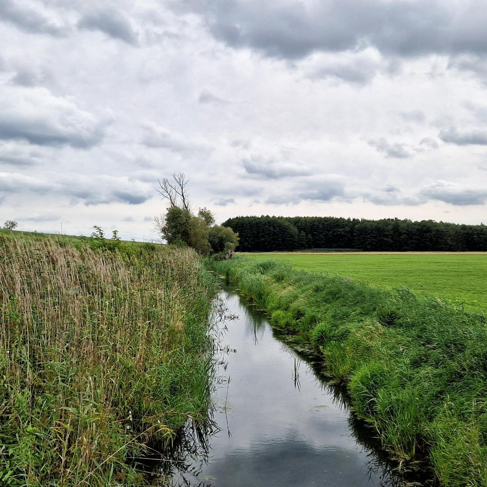
Jogging around Oderaue offers routes through a unique landscape shaped by the Oder River. The region is characterized by the vast, low-lying Oderbruch, a river polder with extensive flat terrain and numerous ditches, providing conditions for long runs with minimal elevation changes. For varied running experiences, the surrounding Oder slopes and the Upper Barnim Plateau offer higher ground with panoramic views. The Lower Oder Valley National Park, Germany's only floodplain national park, features diverse structures including flood areas, alluvial forests,…
Last updated: June 27, 2026
5.0
(1)
11
runners
8.86km
00:57
20m
20m
Moderate run. Good fitness required. Mostly paved surfaces. Suitable for all skill levels.
5.0
(1)
11
runners
8.43km
00:52
10m
10m
Moderate run. Good fitness required. Mostly paved surfaces. Suitable for all skill levels.

Sign up for free
4
runners
12.3km
01:17
20m
20m
Moderate run. Good fitness required. Mostly paved surfaces. Suitable for all skill levels.
5
runners
7.29km
00:45
20m
20m
Moderate run. Good fitness required. Mostly paved surfaces. Suitable for all skill levels.
7
runners
12.3km
01:19
90m
90m
Moderate run. Good fitness required. Mostly paved surfaces. Suitable for all skill levels.
Get access to more routes and recommendations from other explorers.
Sign up for free
Already have an account?
Our route recommendations are based on thousands of hikes, rides, and runs completed by other people on komoot.
Start today with a free account
Your next adventure awaits.
Login or Signup
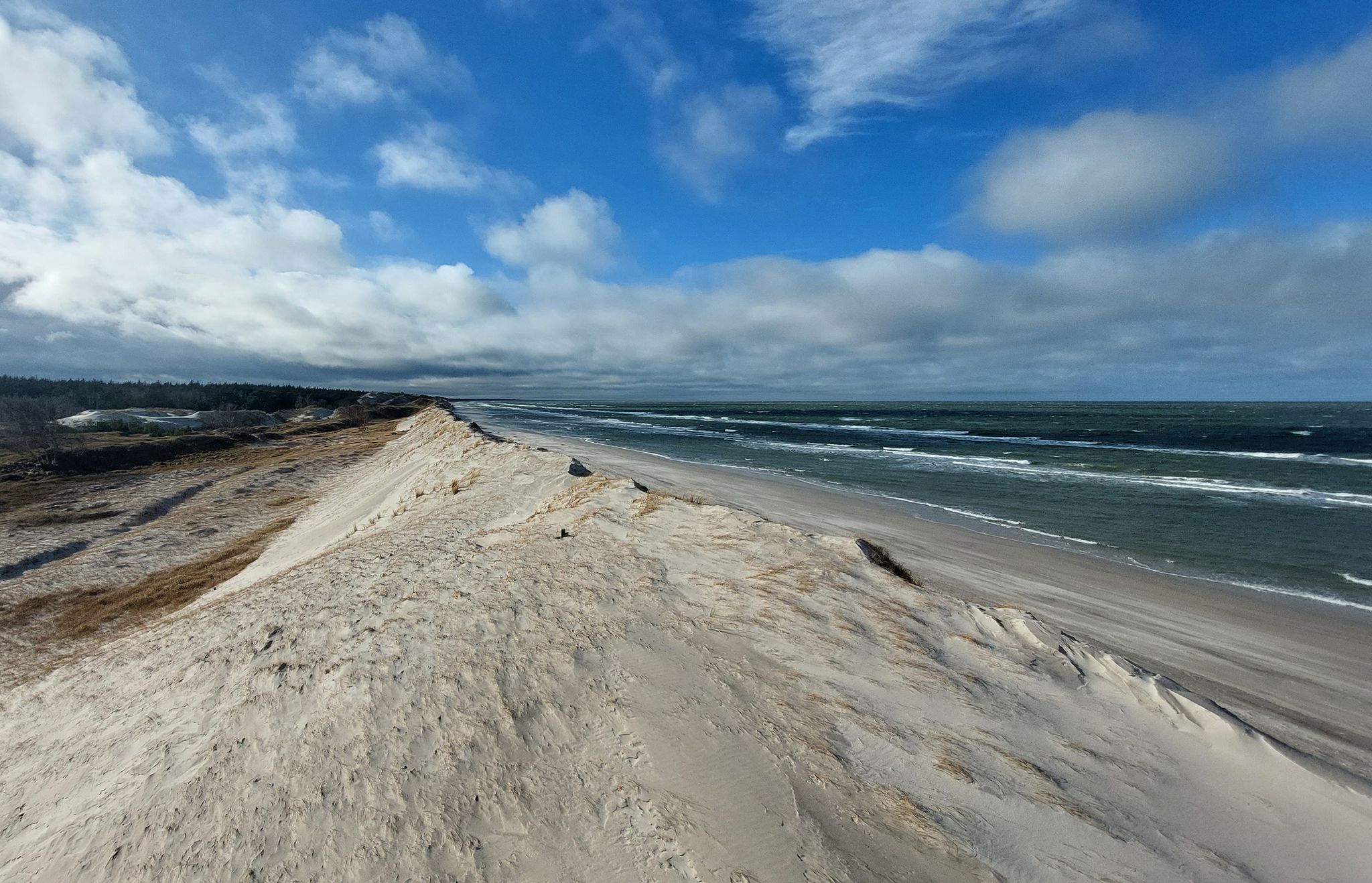
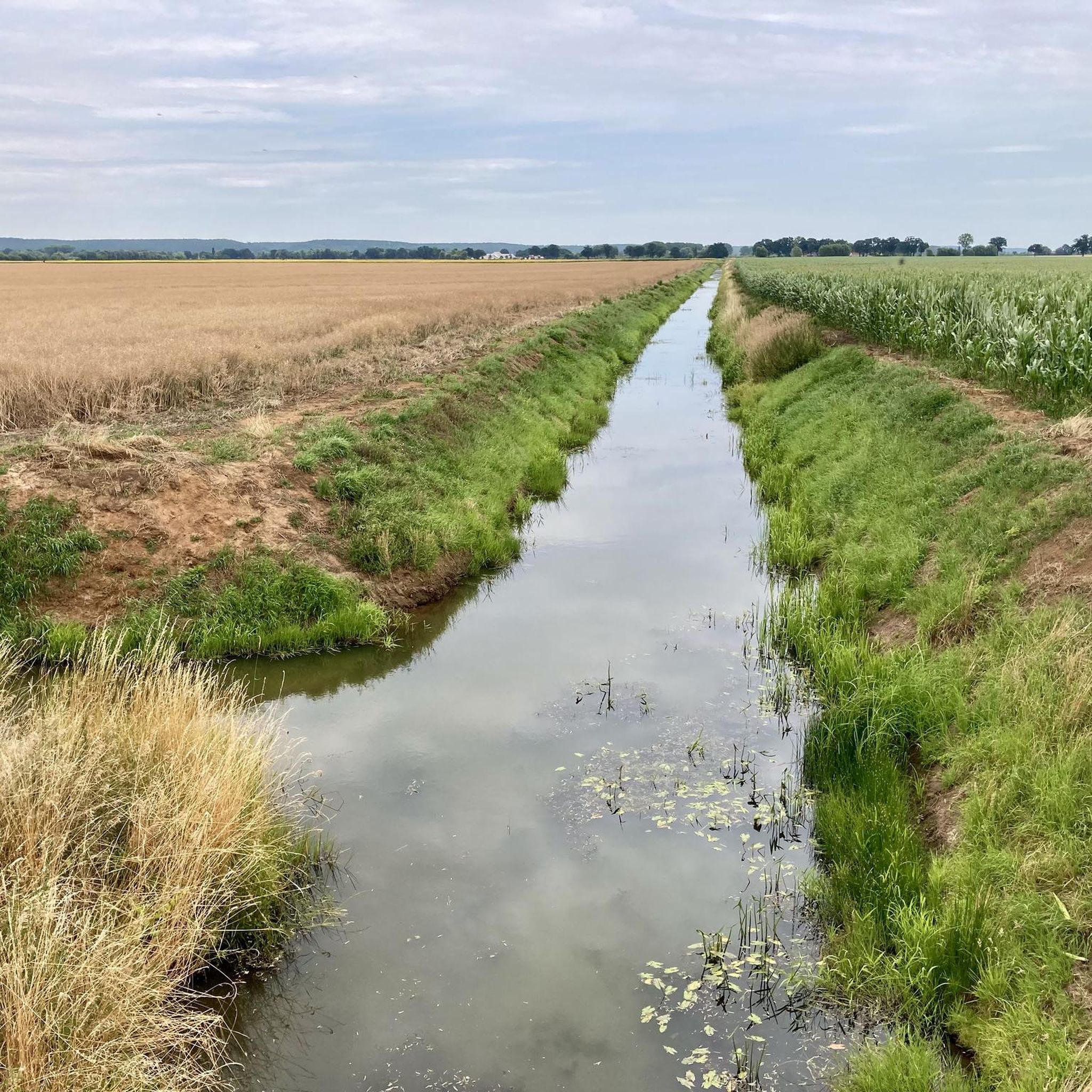
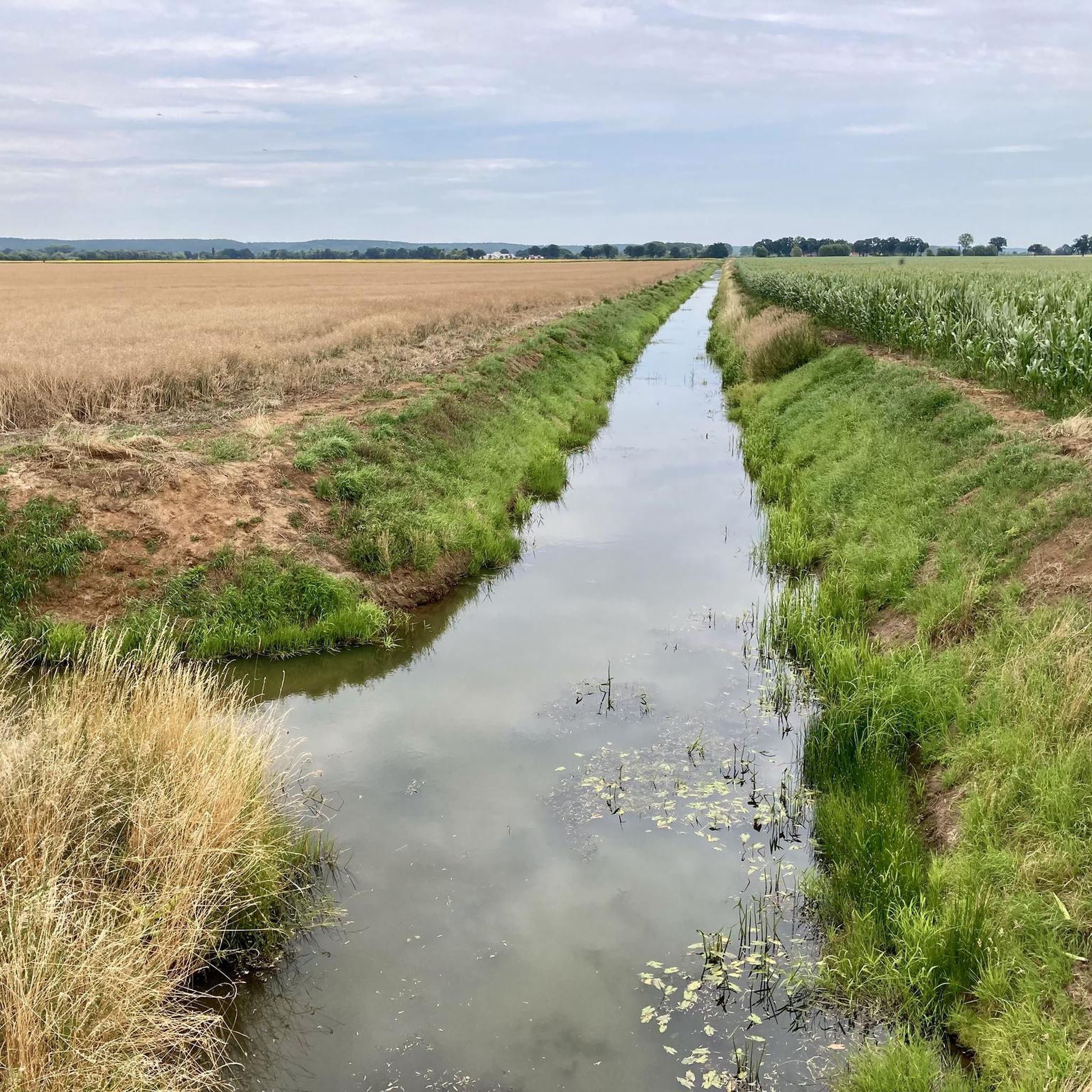
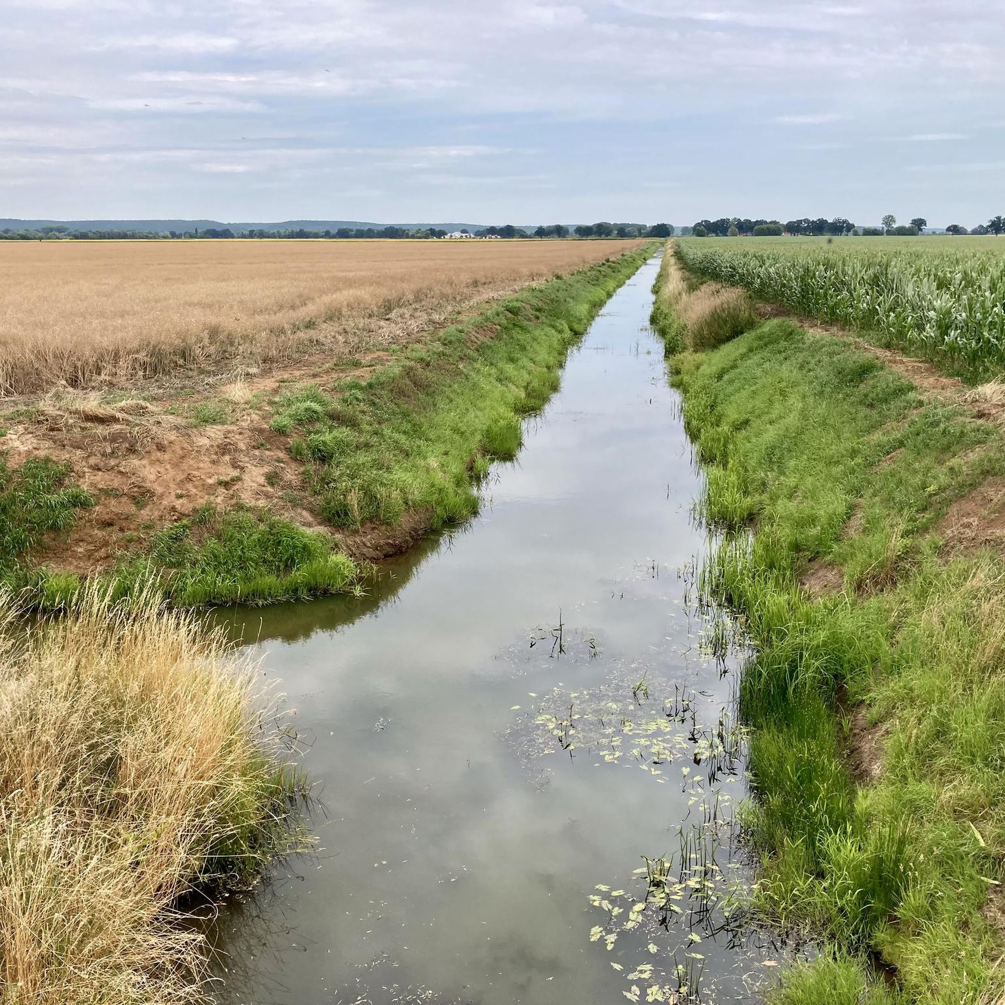
Other adventures around Oderaue

Tips from the Community

A small village between Wriezen and Bad Freienwalde. Here you'll find the Stork Tower, a museum, and a former tank training area to explore to the west.
2
0

Cemetery of Polish soldiers who died during the crossing of the Oder and on the way to Berlin. The cemetery was established right after the war, but the exhumation and transfer of bodies lasted until 1948. There are 1,200 concrete crosses stylized as the Order of the Cross of Grunwald in the cemetery. In 1961, an 18-meter-high granite monument was erected in the middle of the cemetery. It consists of an obelisk with two Grunwald swords hanging on it, in the background there are sails symbolizing the crossing of the Oder, and next to the obelisk stands the figure of a woman (mother) with a child symbolizing the return of the Oder lands to Poland. 1,987 soldiers are buried in the cemetery (including 1,661 known by name).
1
1

A trip to the Oder, whether it's an old arm or a new arm, always promises a natural spectacle, but you should allow yourself enough time and peace. Where the border once stood, a vast expanse of flora and fauna has spread, just waiting to be discovered.
2
0

We did the bike tour today, it was very nice but there was nowhere to eat. We cycled 53 km Best wishes R.Gill
0
0
Museum of the Engineers of the 1st Polish Army. It was established in 1965 in a building that was the headquarters of the commander of the engineer-sapper troops during the Oder crossing on 14.04-20.04.1945. The main exhibits are primarily memorabilia of the Oder crossing in Gozdowice, models illustrating structures used for operations related to the crossing and maps of the front. You can also see original cutters, boats and pontoons used to ferry troops across the Oder in 1945.
1
0

A very beautiful cycle path along the old Oder. The nature and the water are simply beautiful to look at.
0
0
The Oder floodplains lie between the Stromoder (the border river Oder) and the Alter Oder. The open and fertile landscape was shaped by the annual floods of the Oder. Agriculture and livestock farming suddenly supported fishing. Now a great piece of nature with numerous birds and insects. Just enjoy. In any season. You won't get bored while walking 😀
3
0

Small idyllic village just before the border, which you pass or cross when you cycle along the Oder cycle path. It was several years after the colonists set out.
2
0
Frequently Asked Questions
What makes Oderaue a unique place for running?
Oderaue offers a distinctive running experience due to its unique landscape. You'll find the vast, flat expanses of the Oderbruch, a river polder perfect for long, uninterrupted runs. For those seeking varied terrain, the surrounding Oder slopes and the Upper Barnim Plateau provide higher ground with panoramic views. The region also encompasses parts of the Lower Oder Valley National Park, Germany's only floodplain national park, offering diverse ecosystems and wildlife observation opportunities.
How many running routes can I find in Oderaue?
Komoot lists over 50 running routes in Oderaue. These include a variety of options, with 8 easy routes, 36 moderate routes, and 11 more challenging trails, ensuring there's something for every fitness level.
What are the typical terrain and elevation like for running in Oderaue?
The terrain in Oderaue is predominantly flat, especially within the Oderbruch, which is a low-lying river polder with minimal elevation changes. This makes it ideal for long, steady runs. However, for those looking for more varied elevation, the surrounding Oder slopes and the Upper Barnim Plateau offer higher ground with some inclines and impressive views.
Are there any family-friendly running routes in Oderaue?
Yes, Oderaue offers several easy and moderate routes suitable for families. The flat terrain of the Oderbruch is particularly good for less strenuous runs. While specific family-friendly routes aren't detailed here, you can find 8 easy routes on komoot that are generally suitable for all ages and fitness levels.
Can I bring my dog on the running trails in Oderaue?
Many of the running trails in Oderaue are dog-friendly, especially those outside of strict nature reserve zones. When running in areas like the Lower Oder Valley National Park, it's important to keep dogs on a leash to protect wildlife. Always check local signage for specific regulations regarding pets on trails.
What kind of natural features or landmarks can I see while running in Oderaue?
While running in Oderaue, you can experience the unique floodplain landscape of the Lower Oder Valley National Park, with its flood areas, alluvial forests, and diverse birdlife. You might also encounter the branches of the Alte Oder. Notable man-made landmarks include the impressive Schleuse Hohensaaten (Hohensaaten Lock) and the historic Europabrücke (Europe Bridge). For cultural insights, consider routes near St. Georg Concert Hall or Neuenhagen Castle.
Are there any circular running routes in the Oderaue region?
Yes, many running routes in Oderaue are designed as loops, offering convenient starting and ending points. For example, the Running loop from Wriezen is a popular moderate 4.0-mile (6.5 km) option, and the Rathsdorf loop from Rathsdorf is another great choice.
What do other runners say about the trails in Oderaue?
The running routes in Oderaue are highly rated by the komoot community, boasting an average score of 5.0 stars from over 19 reviews. More than 250 runners have explored Oderaue's varied terrain using komoot, often praising the tranquil environment and the unique natural beauty of the Oderbruch and Lower Oder Valley National Park.
Is there parking available near the running trails in Oderaue?
Yes, parking is generally available near the starting points of many running trails in Oderaue, especially in and around the villages and towns like Hohenwutzen, Wriezen, and Rathsdorf. Specific parking information can often be found on individual route pages on komoot.
Can I reach the running areas in Oderaue by public transport?
Public transport options to Oderaue exist, primarily via regional buses that connect to nearby train stations. While some routes might start directly from a bus stop, it's advisable to check local bus schedules and route access points in advance, especially if you plan to reach more remote trailheads.
Are there any cafes or restaurants near the running routes for a post-run refreshment?
While Oderaue is known for its natural tranquility, you can find cafes and restaurants in the larger villages and towns within the region, such as Wriezen or near Hohenwutzen. These establishments offer opportunities for refreshments or a meal after your run. It's a good idea to check their opening hours, especially outside of peak season.
What is the best time of year to go running in Oderaue?
Spring and autumn are particularly beautiful for running in Oderaue. During these seasons, the Lower Oder Valley National Park becomes a spectacle for bird migration, with thousands of cranes gathering. The weather is generally mild, and the natural landscapes are vibrant. Summer offers longer daylight hours, but can be warmer, while winter runs can be serene, though some paths might be affected by weather conditions.
Most popular attractions around Oderaue

Get inspired with the komoot mobile app


Explore more
Browse the best Running Trails & Routes in other regions.
