The best mountain hikes around Landkreis Neustadt an der Waldnaab
9
hikers
3
hikes
Mountaineering routes Landkreis Neustadt an der Waldnaab traverse a diverse landscape characterized by dense forests, rolling hills, and significant geological formations. The region is home to parts of the Oberpfälzer Wald Nature Park and borders the Steinwald Nature Park, offering varied terrain for outdoor enthusiasts. Notable features include unique granite formations, basalt cones like the Rauher Kulm and Parkstein, and the scenic Waldnaabtal Nature Reserve with its mighty rock formations. These natural elements provide a range of experiences from challenging ascents to more accessible trails.
Best mountaineering routes around Landkreis Neustadt an der Waldnaab
- The most popular mountaineering route is Weissingkuppe Rock Labyrinth – Vogelherd Grotto loop from Neuhaus (Pegnitz), an 8.2 miles (13.3 km) trail that takes 3 hours 42 minutes to complete. This moderate route explores a unique rock labyrinth and grotto.
- Another top favourite among local mountaineers is Oberpfalzturm Observation Tower on Platte – Wildlife enclosure in the Steinwald loop from Pfaben, a moderate 6.3 miles (10.2 km) path. This route offers panoramic views from the Oberpfalzturm and passes through the Steinwald's rugged landscape.
- Local mountaineers also love the Leuchtenberg Castle Ruins – The Devil's Churn loop from Leuchtenberg, a 3.5 miles (5.7 km) trail leading through varied terrain including the historic castle ruins, often completed in about 1 hour 42 minutes.
- Mountaineering around Landkreis Neustadt an der Waldnaab is defined by granite formations, basalt cones, and lush river valleys. The network offers options for different ability levels, from easy paths to more challenging ascents.
- The guide includes highly-rated routes that showcase the best of the region's landscape. More than 10 mountaineers have used komoot to explore Landkreis Neustadt an der Waldnaab's varied terrain.
Last updated: October 17, 2026
3
hikers
Moderate mountaineering route. Good fitness required. Easily-accessible paths. Suitable for all skill levels.
5
hikers
Moderate mountaineering route. Good fitness required. Easily-accessible paths. Suitable for all skill levels.

1
hikers
Easy mountaineering route. Great for any fitness level. Easily-accessible paths. Suitable for all skill levels.
Our route recommendations are based on thousands of hikes, rides, and runs completed by other people on komoot.
Start today with a free account
Your next adventure awaits.
Popular around Landkreis Neustadt an der Waldnaab
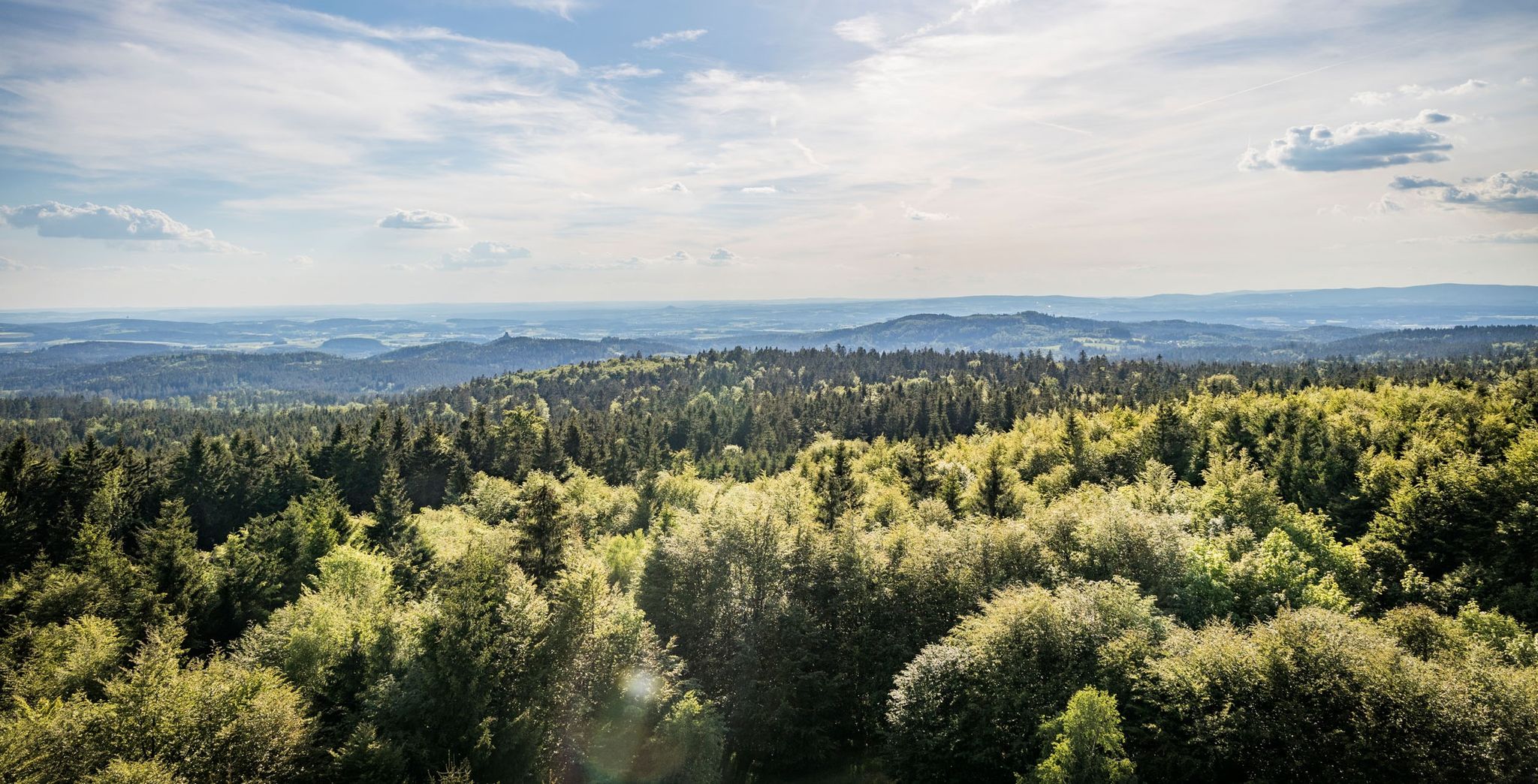
Nurtschweg – Hiking along the German-Czech border
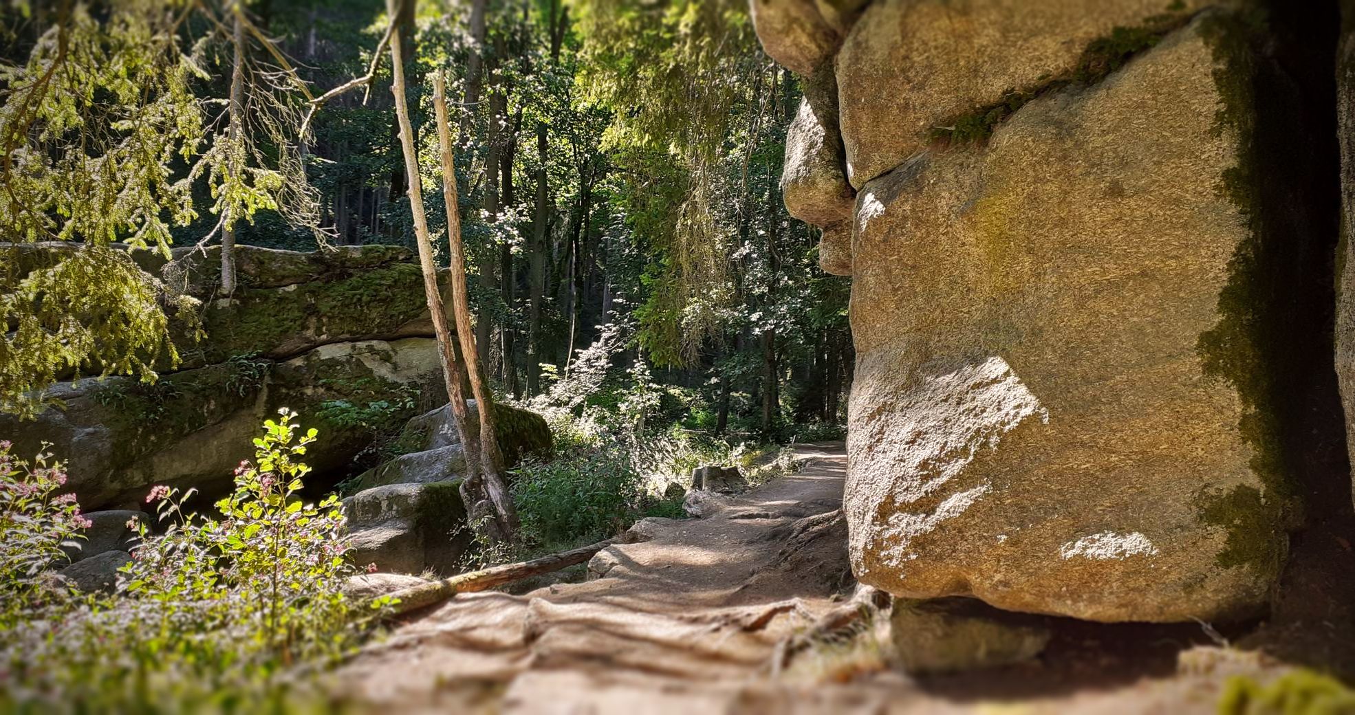
Bikepacking in the Upper Palatinate Forest

The Goldsteig – 38 stages between Upper Palatinate and Passau
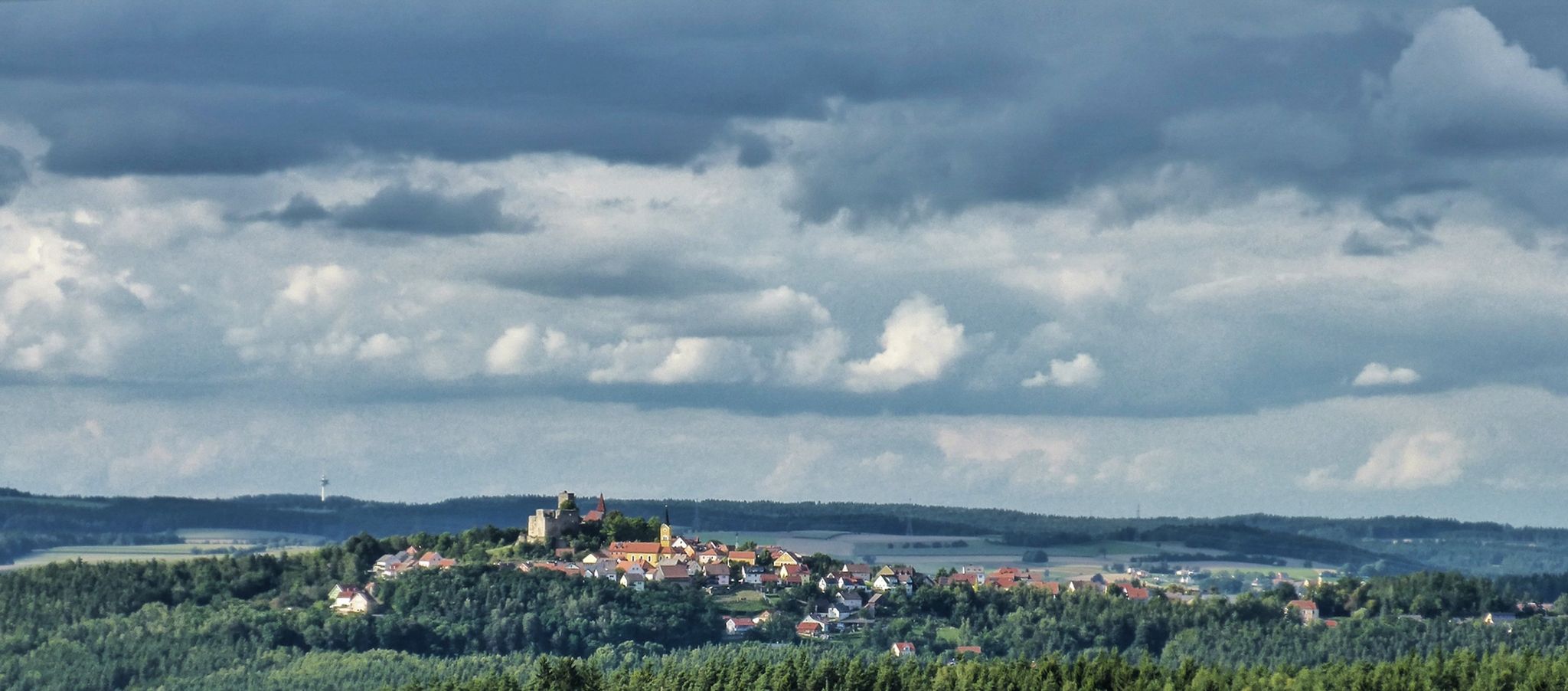
The Upper Palatinate Castle Trail — 9 days in picturesque northern Bavaria

The National Natural Landscapes in Bavaria
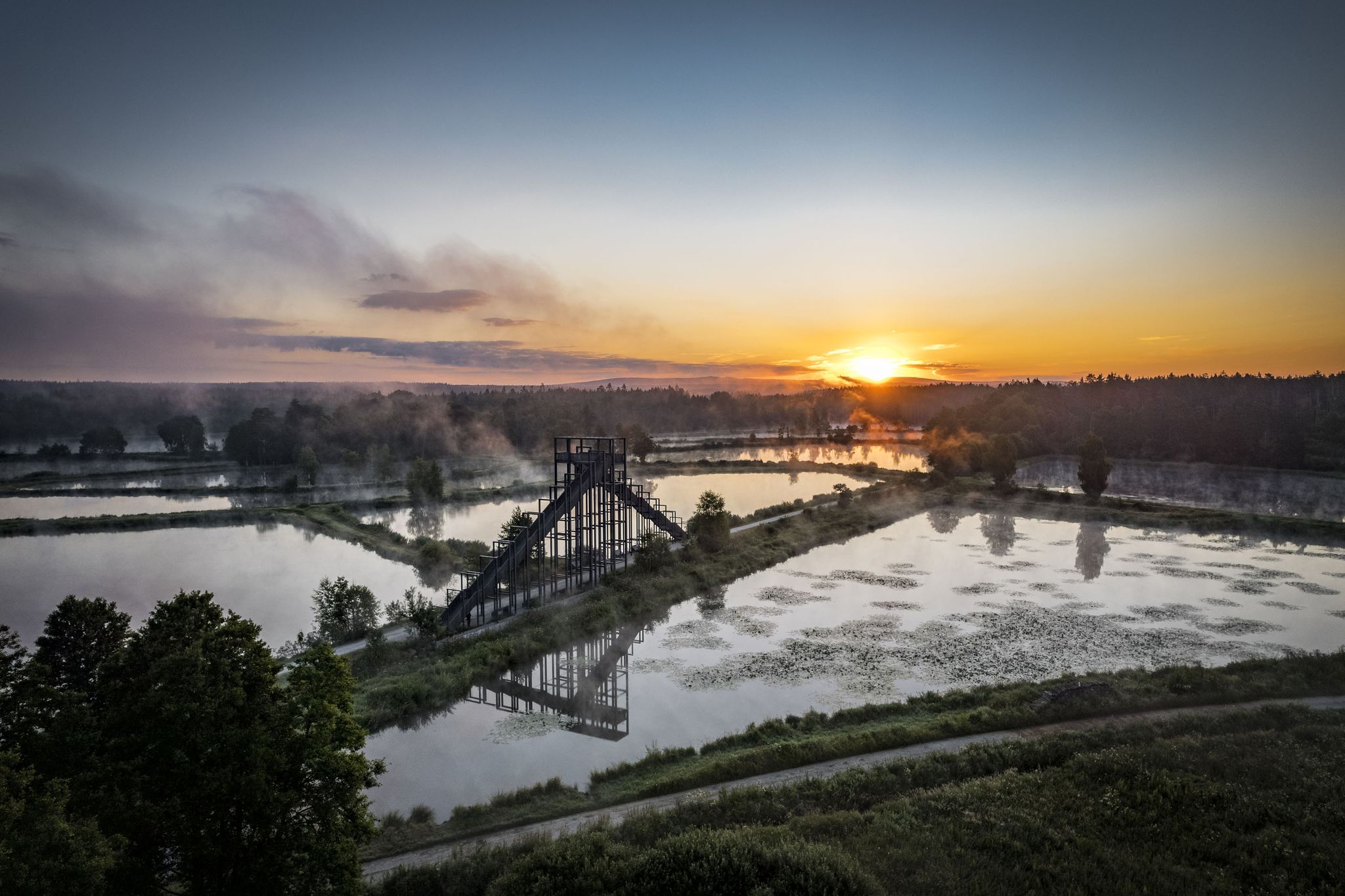
How refreshing! Trails by the water in the Upper Palatinate Forest
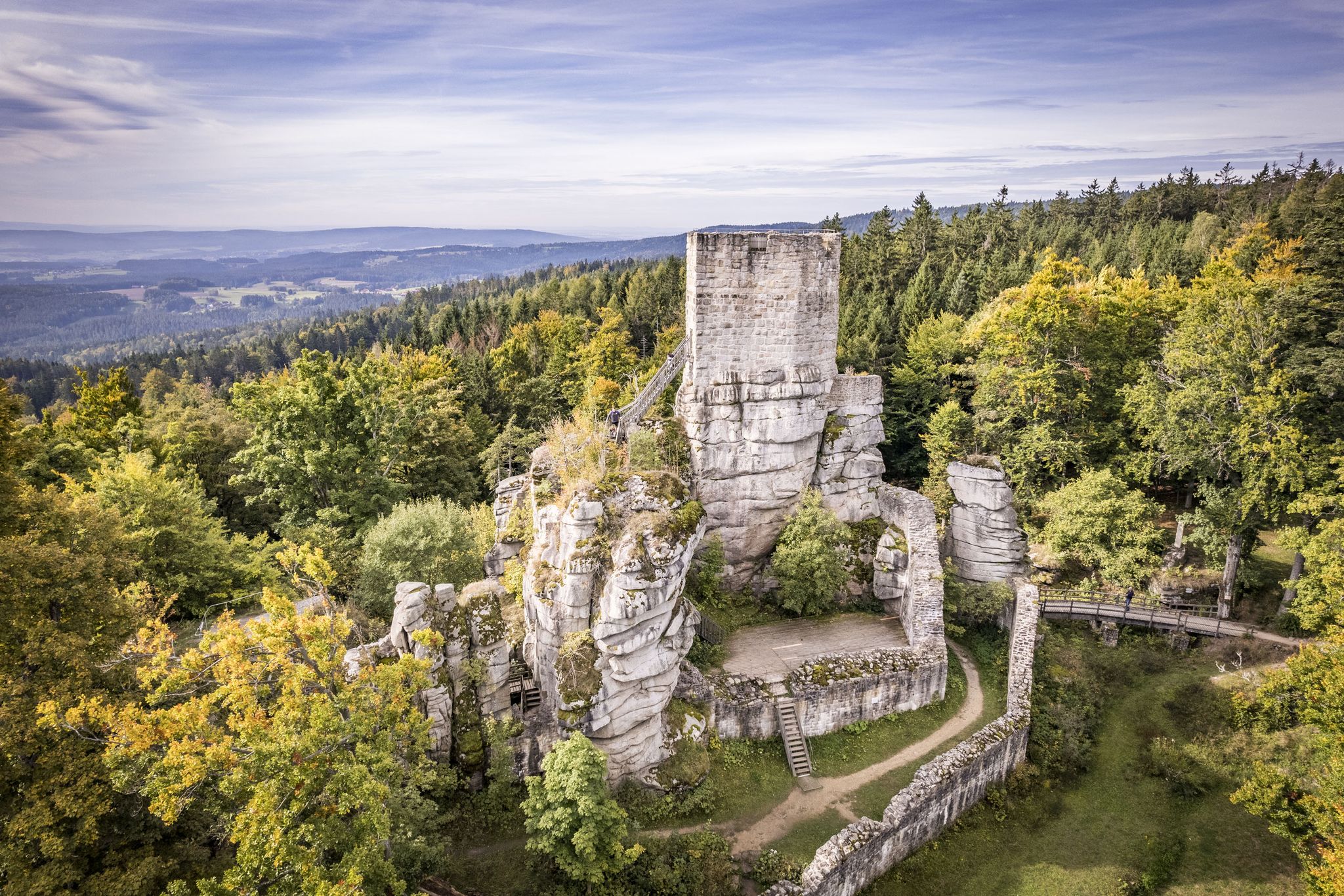
On the 'Kultouren' through the Upper Palatine Forest
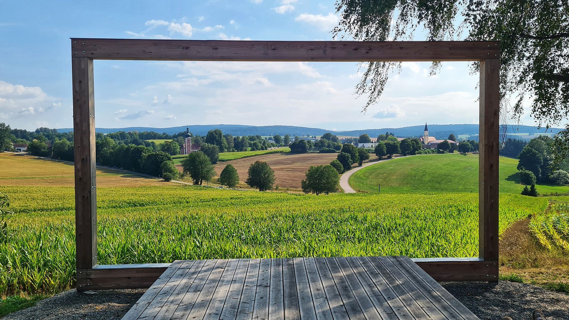
Hike the Glass Cutter Trail through the Upper Palatinate Forest
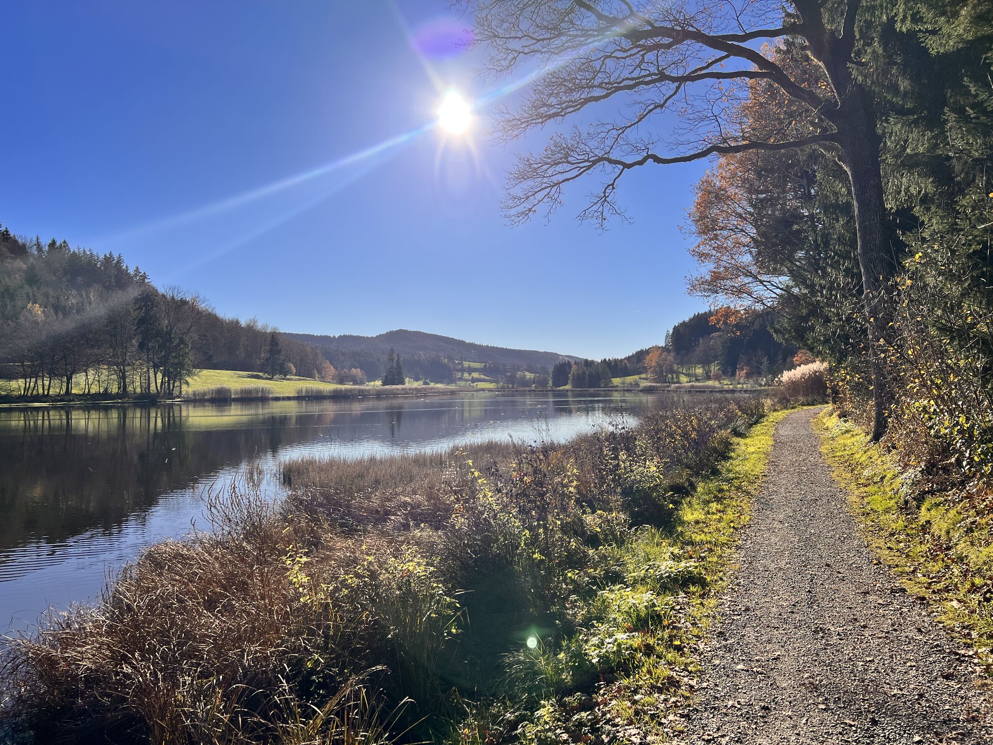
Run Wild – trail running routes throughout Germany

Thousands of kilometres of hiking fun – long-distance hiking trails in Bavaria
Other adventures around Landkreis Neustadt an der Waldnaab


Tips from the Community

Beautiful cave and rock landscape. Please observe bat protection in winter and DO NOT enter the caves!
0
0
Reminiscent of sinkholes in the Karst or above mine tunnels.
0
0

You should be careful and then it's no problem with the bike. Strompony is naturally an advantage there 🤣.
0
0
Forest and meadow path from Pilz to Waldhaus
1
0

This is a really nice place for a break.
0
0

It is a small, natural opening in the rock through which water flows into the underground cave system. The name "swallow hole" comes from the idea that this is where the water is "swallowed". The area around the swallow hole is part of a hiking trail and visitors can watch the water disappear into the hole. However, access to the cave system is not permitted for safety reasons.
2
0
The Mystery Grotto is located near Neuhaus an der Pegnitz and is part of the Karst Hiking Trail. The name of the grotto comes from a legend that tells of the "White Lady". This legend says that the cursed soul of Countess Kunigunde von Leuchtenburg, who lived in the 13th century, is said to appear in the grotto as a restless spirit. The grotto is about 12 meters wide and 16 meters long and offers an impressive hall. Beautiful ice formations can be admired, especially in winter. The entrance to the grotto is partially walled up and closed in winter during the bat protection period. The grotto is only accessible from April to September.
1
0

According to legend, the devil himself had a squabble with a landgrave here?!? See for yourself.
4
0
Frequently Asked Questions
What kind of terrain can I expect on mountaineering routes in Landkreis Neustadt an der Waldnaab?
The region offers a diverse landscape for mountaineering, characterized by dense forests, rolling hills, and significant geological formations. You'll encounter unique granite formations, basalt cones like the Rauher Kulm and Parkstein, and scenic river valleys with mighty rock formations, particularly in the Waldnaabtal Nature Reserve. Trails range from well-secured paths to more rugged ascents.
Are there any easy mountaineering routes suitable for beginners or families?
Yes, there are routes suitable for various ability levels. For an easier option, consider the Leuchtenberg Castle Ruins – The Devil's Churn loop from Leuchtenberg. This 5.7 km (3.5 miles) trail takes about 1 hour 42 minutes and leads through varied terrain, including historic castle ruins.
Where can I find challenging mountaineering routes in the area?
For a moderate challenge, the Weissingkuppe Rock Labyrinth – Vogelherd Grotto loop from Neuhaus (Pegnitz) offers an engaging experience. This 13.3 km (8.2 miles) route takes approximately 3 hours 42 minutes and explores a unique rock labyrinth and grotto, requiring good fitness and sure-footedness.
Are there any circular mountaineering routes available?
Yes, several routes are designed as loops. For example, the Oberpfalzturm Observation Tower on Platte – Wildlife enclosure in the Steinwald loop from Pfaben is a moderate 10.2 km (6.3 miles) circular path that offers panoramic views from the Oberpfalzturm and traverses the rugged Steinwald landscape.
What are some notable natural features or landmarks I can see along the mountaineering routes?
The region is rich in natural and historical landmarks. You can explore the unique granite formations of the Steinwald, the basalt cones of Rauher Kulm and Parkstein, or the mighty rock formations in the Waldnaabtal Nature Reserve. Historic castle ruins like Leuchtenberg, Waldeck, and Flossenbürg are often found along hiking routes, adding a cultural dimension to your outdoor excursions. The Haselstein castle site and the Kohlbühl Summit Cross are also points of interest.
Are there any observation towers or viewpoints offering panoramic views?
Absolutely. The Oberpfalzturm Observation Tower on Platte, located on the highest elevation in the Steinwald, provides breathtaking panoramic views of the surrounding landscape. Another great viewpoint is the Stückberg Observation Tower.
What do other mountaineers enjoy most about the routes in Landkreis Neustadt an der Waldnaab?
Mountaineers using komoot often praise the region's varied terrain, from unique rock formations and basalt cones to lush river valleys. The combination of challenging ascents and more accessible paths, alongside the historical landmarks like castle ruins, makes for a diverse and engaging experience.
Can I bring my dog on the mountaineering trails?
Many trails in the Landkreis Neustadt an der Waldnaab are dog-friendly, but it's always advisable to keep your dog on a leash, especially in nature reserves or near wildlife enclosures. Be mindful of local regulations, particularly in protected areas like the Oberpfälzer Wald Nature Park or the Waldnaabtal Nature Reserve, where specific rules might apply.
Are there any specific regulations for hiking in nature reserves in the region?
When mountaineering in nature reserves such as the Oberpfälzer Wald Nature Park, Steinwald Nature Park, or Waldnaabtal Nature Reserve, it's important to stay on marked paths, respect wildlife, and avoid disturbing the natural environment. Specific regulations regarding dogs, camping, or open fires may apply, so always check local signage.
What is the best time of year for mountaineering in Landkreis Neustadt an der Waldnaab?
The spring and autumn months generally offer the most pleasant conditions for mountaineering, with mild temperatures and vibrant scenery. Summer can also be enjoyable, though some routes might be warmer. Winter mountaineering is possible, but requires appropriate gear and caution due to potential snow and ice, especially on higher elevations or rugged terrain.
Are there any places to eat or stay near the mountaineering routes?
The region has various villages and towns that offer cafes, pubs, and accommodation options. While specific establishments directly on every trail might be limited, you'll find places to refresh and stay in nearby communities. It's a good idea to plan your route to pass through or end near a village for convenience.
Is public transport available to access the trailheads?
Public transport options exist within the Landkreis Neustadt an der Waldnaab, connecting various towns and villages. While direct access to every trailhead might vary, some routes are accessible via bus services. It's recommended to check the local public transport schedules (e.g., NWN Verkehrsgemeinschaft) to plan your journey to and from the starting points of your chosen mountaineering routes.
Most popular routes around Landkreis Neustadt an der Waldnaab
Most popular attractions around Landkreis Neustadt an der Waldnaab

Get inspired with the komoot mobile app


Explore more
Browse the best Mountain Hikes & Routes in other regions.
