The best running trails around Leuchtenberg
4.3
(263)
3,984
runners
304
runs
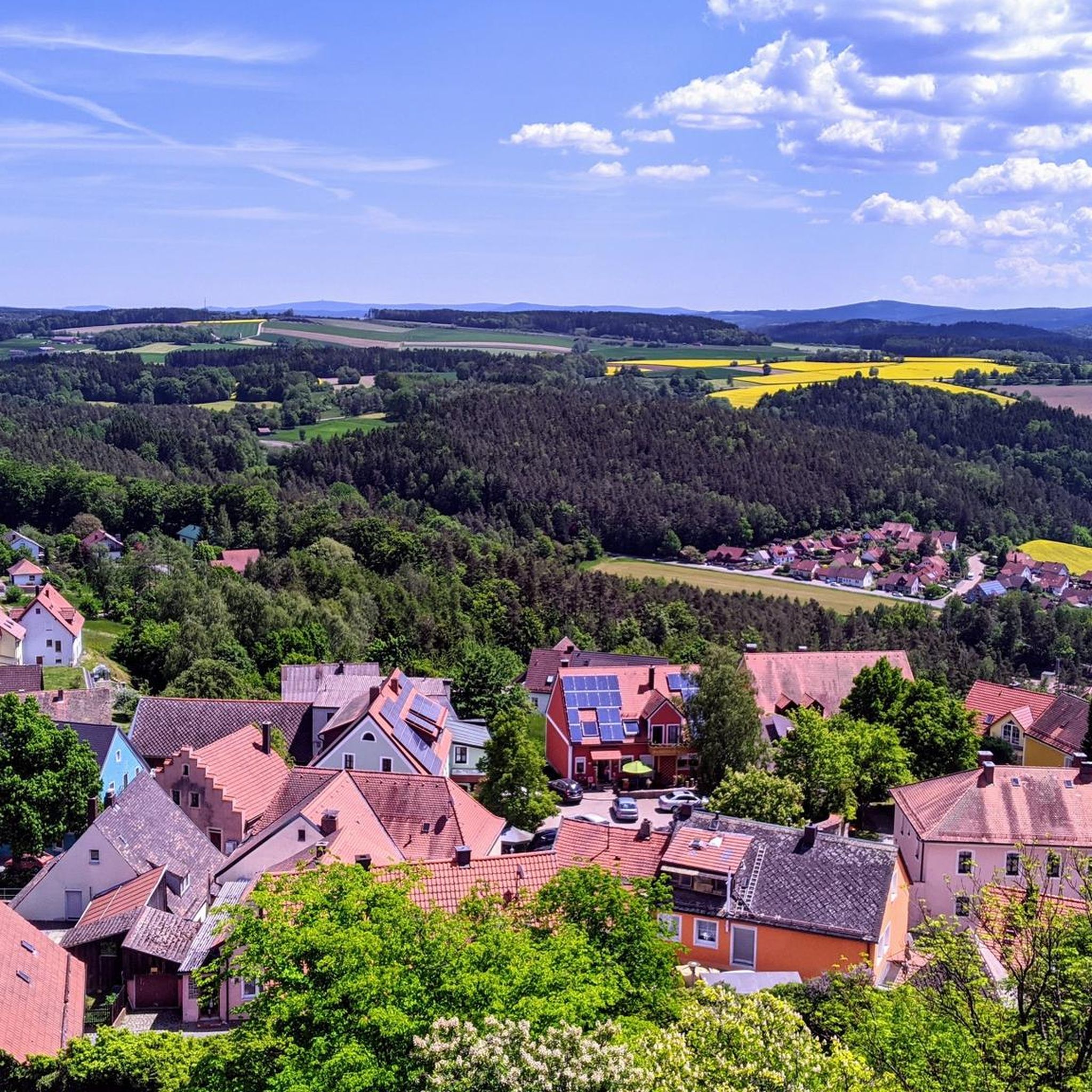
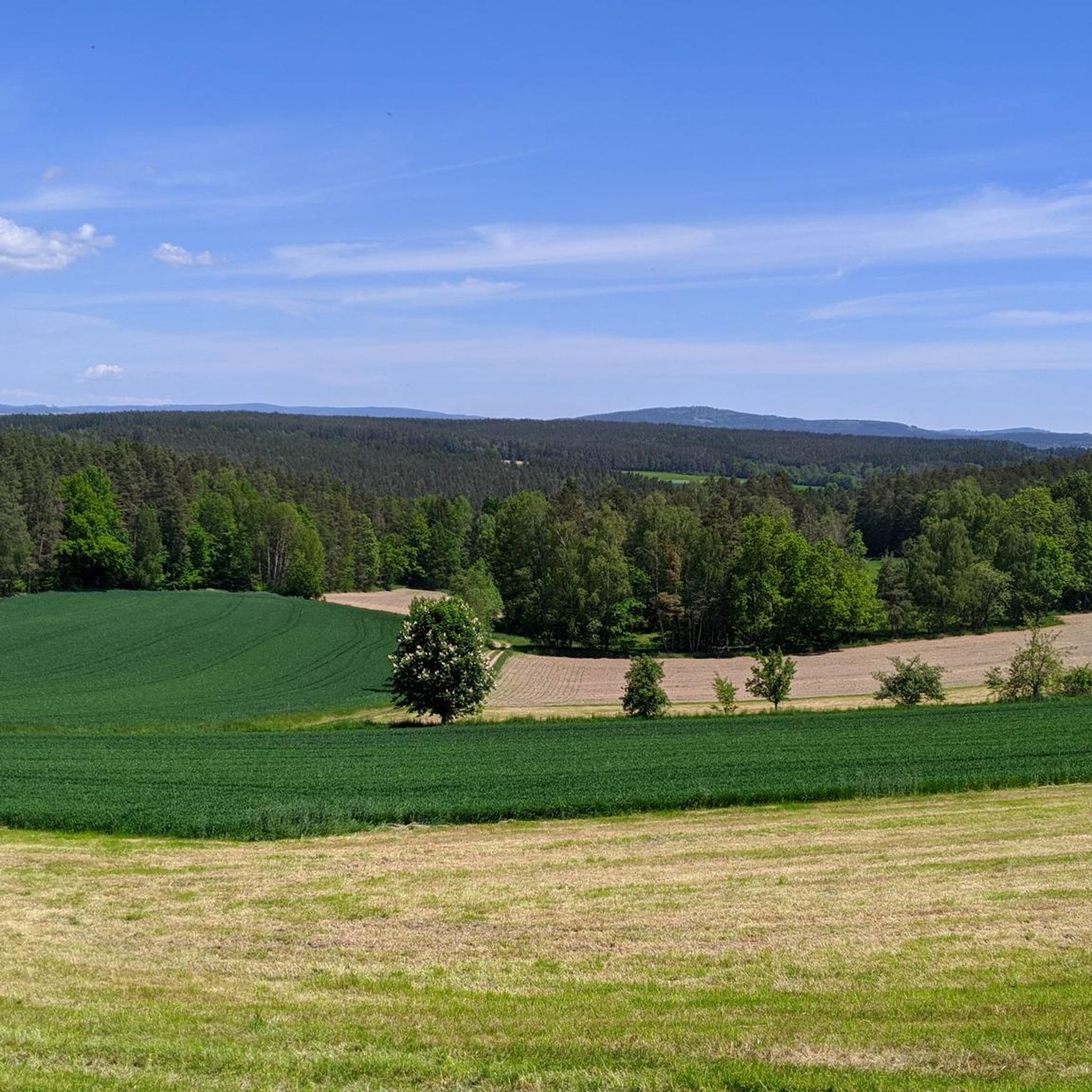
Jogging around Leuchtenberg offers a captivating experience through its idyllic Bavarian landscape. The region is characterized by rolling hills and dense forests, providing a picturesque backdrop for various outdoor pursuits. Well-maintained paths wind through unspoiled forests and green hills, with prominent natural landmarks like the Teufelskanzel rock formation. The area also features the impressive Leuchtenberg Castle, perched atop the Schlossberg, serving as a focal point for many trails.
Best jogging routes around Leuchtenberg
- The most popular jogging route is Richtbühl…
Last updated: June 28, 2026
5.0
(1)
8
runners
6.32km
00:40
70m
70m
Moderate run. Good fitness required. Mostly paved surfaces. Suitable for all skill levels.
5.0
(1)
7
runners
5.76km
00:44
140m
140m
Moderate run. Good fitness required. Mostly paved surfaces. Suitable for all skill levels.

Sign up for free
7
runners
Moderate run. Good fitness required. Mostly paved surfaces. Suitable for all skill levels.
5
runners
12.8km
01:20
120m
120m
Moderate run. Good fitness required. Mostly paved surfaces. Suitable for all skill levels.
4
runners
12.3km
01:29
260m
250m
Moderate run. Good fitness required. Mostly paved surfaces. Suitable for all skill levels.
Get access to more routes and recommendations from other explorers.
Sign up for free
Already have an account?
Our route recommendations are based on thousands of hikes, rides, and runs completed by other people on komoot.
Start today with a free account
Your next adventure awaits.
Login or Signup
Popular around Leuchtenberg

The Goldsteig – 38 stages between Upper Palatinate and Passau
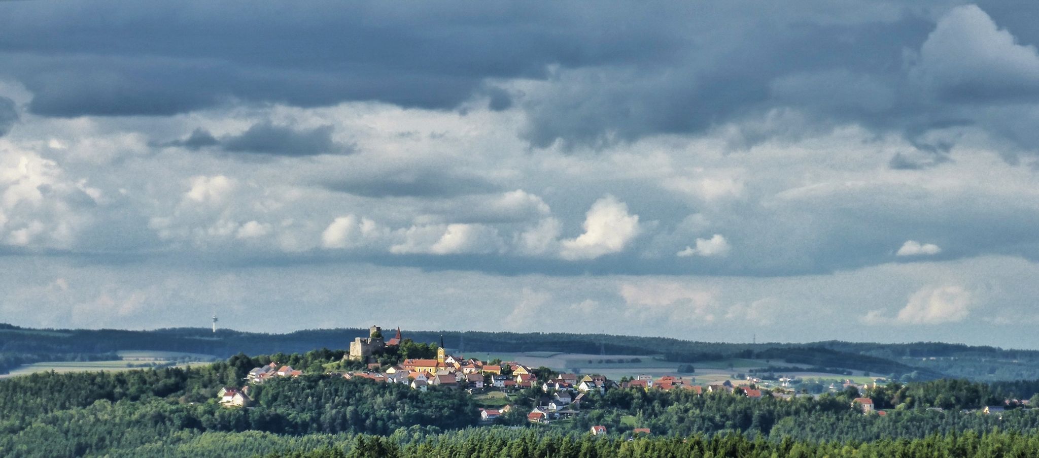
The Upper Palatinate Castle Trail — 9 days in picturesque northern Bavaria
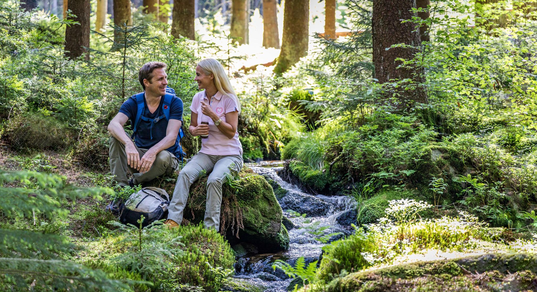
Hiking in Bavaria’s Upper Palatinate Forest – unspoilt forests & green hills
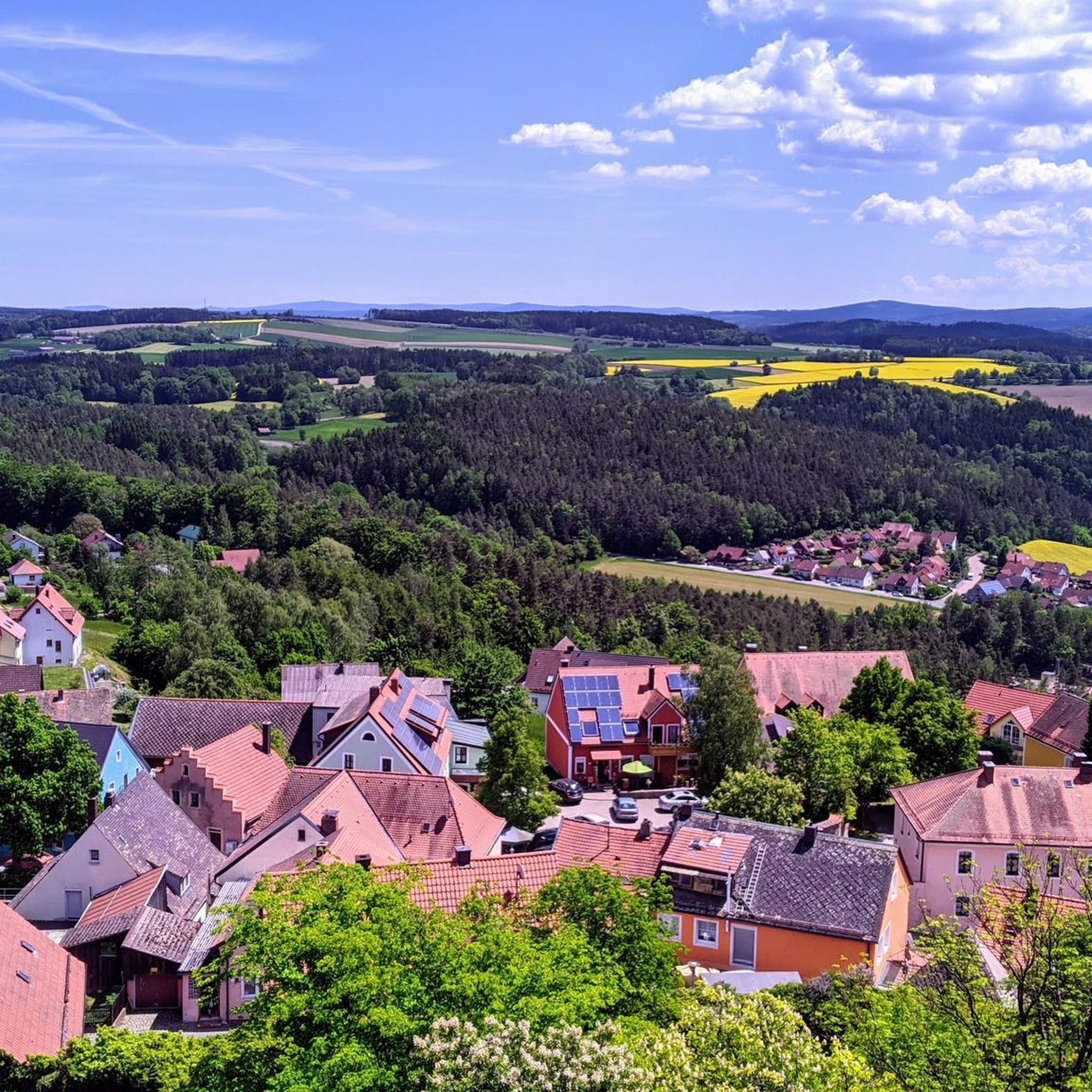
Hiking around Leuchtenberg
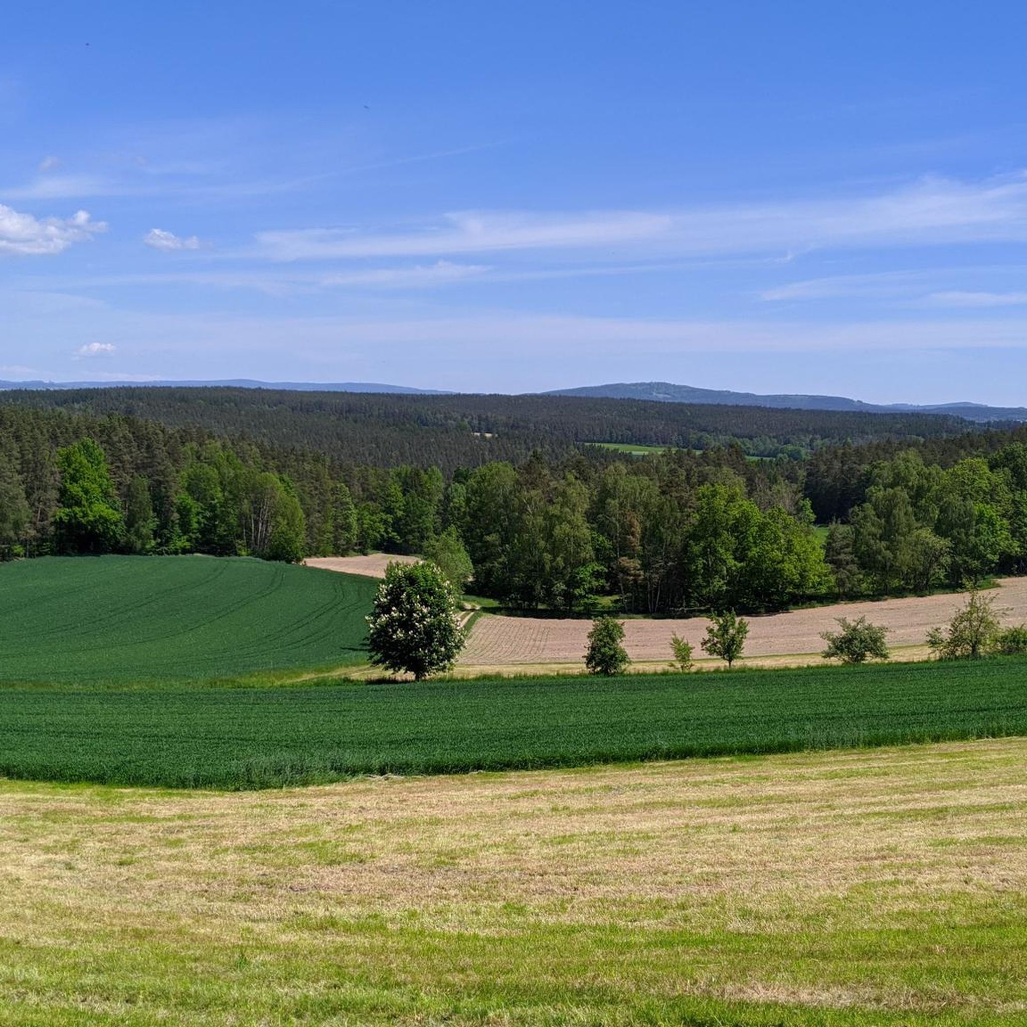
MTB Trails around Leuchtenberg
Cycling around Leuchtenberg
Road Cycling Routes around Leuchtenberg

Gravel biking around Leuchtenberg
Other adventures around Leuchtenberg


Tips from the Community

Beautiful location at the hydroelectric power plant, whose buildings were taken over by the Franken (fishing club Noris). 🫣😂
1
0

This is a really nice place for a break.
0
0

The giant chair is a lookout point with a view of the Preimdtal valley.
2
0
According to legend, the devil himself had a squabble with a landgrave here?!? See for yourself.
3
0

Old glass loop on the Pfreimd - very nicely located.
0
0

Probably the most impressive rock formation in the Lerau Valley - worth seeing!
3
0
One of the many ways to cross the Lerau
3
0
Small ford to cross the Lerau. A little further there is also a bridge
3
0
Frequently Asked Questions
What kind of landscape can I expect when jogging in Leuchtenberg?
Leuchtenberg offers a captivating Bavarian landscape characterized by rolling hills and dense forests. You'll find well-maintained paths winding through unspoiled nature, providing scenic views and fresh air. The region is also home to impressive rock formations like the Teufelskanzel (Devil's Pulpit) and the historic Leuchtenberg Castle.
How many jogging routes are available in Leuchtenberg?
There are over 300 running routes around Leuchtenberg, catering to various preferences and fitness levels. The komoot community has explored more than 3700 of these routes, highlighting the area's popularity among runners.
Are there running routes suitable for beginners or those looking for an easier run?
Yes, Leuchtenberg offers a good selection of easier running routes. Out of the over 300 routes, 42 are categorized as easy, making them perfect for beginners or a relaxed run. These trails often feature accessible paths through the charming countryside.
What do other runners enjoy most about jogging in Leuchtenberg?
The running routes in Leuchtenberg are highly rated by the komoot community, with an average score of 4.35 stars from over 200 reviews. Runners often praise the varied terrain, the picturesque backdrop of rolling hills and dense forests, and the well-maintained paths that make for an enjoyable outdoor experience.
Are there any circular running routes in Leuchtenberg?
Yes, many routes in Leuchtenberg are designed as circular paths, offering convenient starting and ending points. For example, the Richtbühl loop from Irchenrieth is a popular moderate 3.9-mile (6.3 km) circular trail, and the Geißbühl loop from Irchenrieth offers a longer 7.9-mile (12.8 km) option through forests and open landscapes.
Can I find longer running routes for more challenging workouts?
Absolutely. Leuchtenberg has several longer routes for those seeking a greater challenge. The Small bridge over the Pfreimd River – Kraute-Bühler Robber’s Cave loop from Tännesberg (VGem) is a moderate 8.4-mile (13.6 km) path with varied terrain, including sections along the Pfreimd River. Another option is the Heller Stein – Lerau Valley loop from Leuchtenberg, which is 7.6 miles (12.3 km) long and features significant elevation changes.
Are there any historical landmarks or natural attractions along the running routes?
Yes, Leuchtenberg is rich in both historical and natural sights. The impressive Leuchtenberg Castle, perched atop the Schlossberg, is a focal point for many trails and offers panoramic views. You can also explore natural landmarks like the Teufelskanzel (Devil's Pulpit) rock formation. For specific attractions, consider visiting the Trausnitz Reservoir or the St. Barbara Pilgrimage Church on Eixlberg, both accessible from various routes.
What is the best time of year to go running in Leuchtenberg?
Spring and autumn are particularly recommended seasons for outdoor activities in Leuchtenberg. In spring, the landscape is vibrant with blooming wildflowers, while autumn transforms the region with stunning colors, making for a picturesque running experience. The weather during these seasons is generally mild and pleasant.
Are there running routes that pass by lakes or rivers?
Yes, some routes incorporate water features. For instance, the Small bridge over the Pfreimd River – Kraute-Bühler Robber’s Cave loop from Tännesberg (VGem) includes sections along the Pfreimd River. Additionally, you can find routes near highlights like the Trausnitz Reservoir or the Pleystein Town Pond, offering refreshing views.
Are the running trails in Leuchtenberg suitable for families?
Many of Leuchtenberg's trails are suitable for families, especially the easier and moderate routes. The paths are generally well-maintained, and the scenic environment provides an enjoyable experience for all ages. Look for routes with less elevation gain and shorter distances if running with younger family members.
Is there parking available near the running routes?
Yes, many of the running routes in Leuchtenberg, especially those starting from towns like Irchenrieth or Leuchtenberg itself, have accessible parking options nearby. It's advisable to check the specific route details on komoot for information on parking facilities at the trailhead.
Can I reach the running routes using public transport?
While Leuchtenberg is a rural area, some routes may be accessible via local public transport connections to the main villages. For specific routes, it's best to check local bus schedules or regional transport information to plan your journey to the starting points of the trails.
Most popular routes around Leuchtenberg
Most popular attractions around Leuchtenberg

Get inspired with the komoot mobile app


Explore more
Browse the best Running Trails & Routes in other regions.
