The best mountain hikes around Altenthann
4.3
(3)
14
hikers
6
hikes
Mountaineering routes around Altenthann traverse a landscape characterized by rolling hills, dense woodlands, and river valleys, offering diverse terrain for exploration. The region features elevations such as the Hetzenbacher Höhe and Fellinger Berg, providing varied ascents and scenic viewpoints. Trails often follow natural features like the Höllbachtal and the Regen river, winding through forests and open areas. This area provides a mix of moderate challenges and easier paths suitable for different mountaineering preferences.
Best mountaineering routes around Altenthann
- The most…
Last updated: October 9, 2026
5.0
(1)
3
hikers
4.22km
01:11
70m
70m
Moderate mountaineering route. Great for any fitness level. Mostly accessible paths. Sure-footedness required.
3
hikers
10.0km
02:50
200m
200m
Moderate mountaineering route. Good fitness required. Mostly accessible paths. Sure-footedness required.

3.0
(1)
1
hikers
6.69km
02:00
200m
200m
Moderate mountaineering route. Good fitness required. Easily-accessible paths. Suitable for all skill levels.
2
hikers
3.65km
01:05
110m
110m
Easy mountaineering route. Great for any fitness level. Easily-accessible paths. Suitable for all skill levels.
5.0
(1)
2
hikers
9.15km
02:38
220m
220m
Moderate mountaineering route. Good fitness required. Mostly accessible paths. Sure-footedness required.
Our route recommendations are based on thousands of hikes, rides, and runs completed by other people on komoot.
Start today with a free account
Your next adventure awaits.
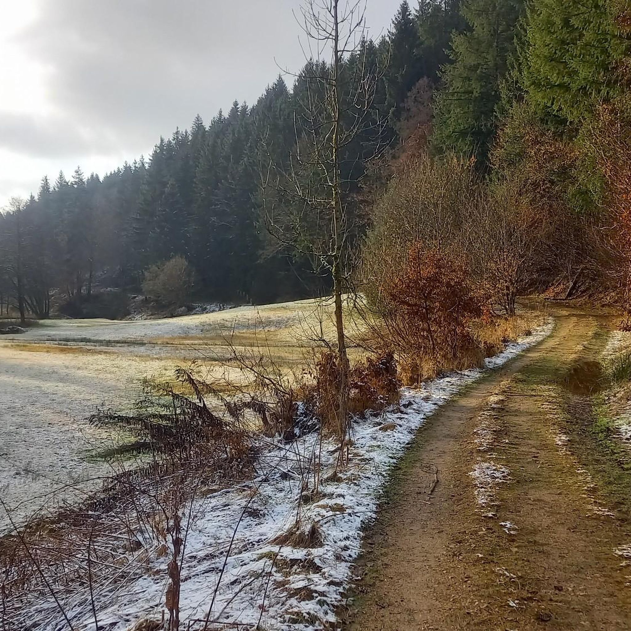
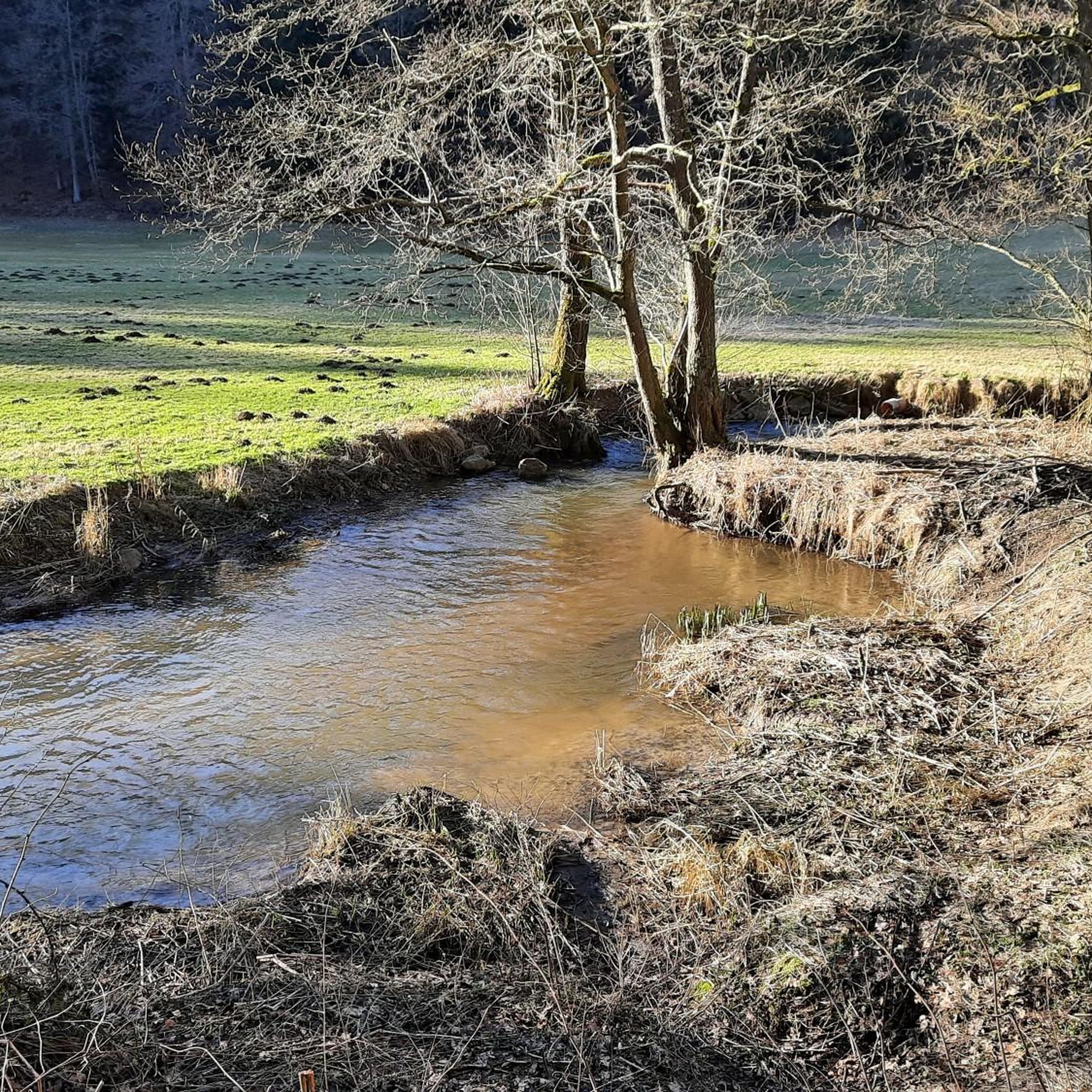
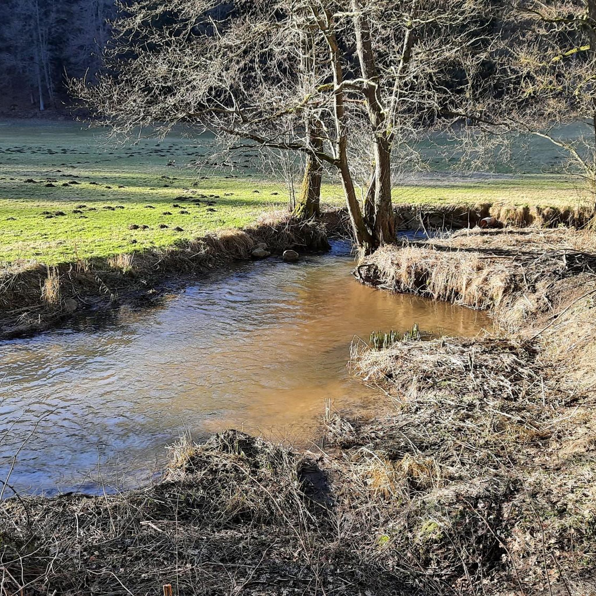
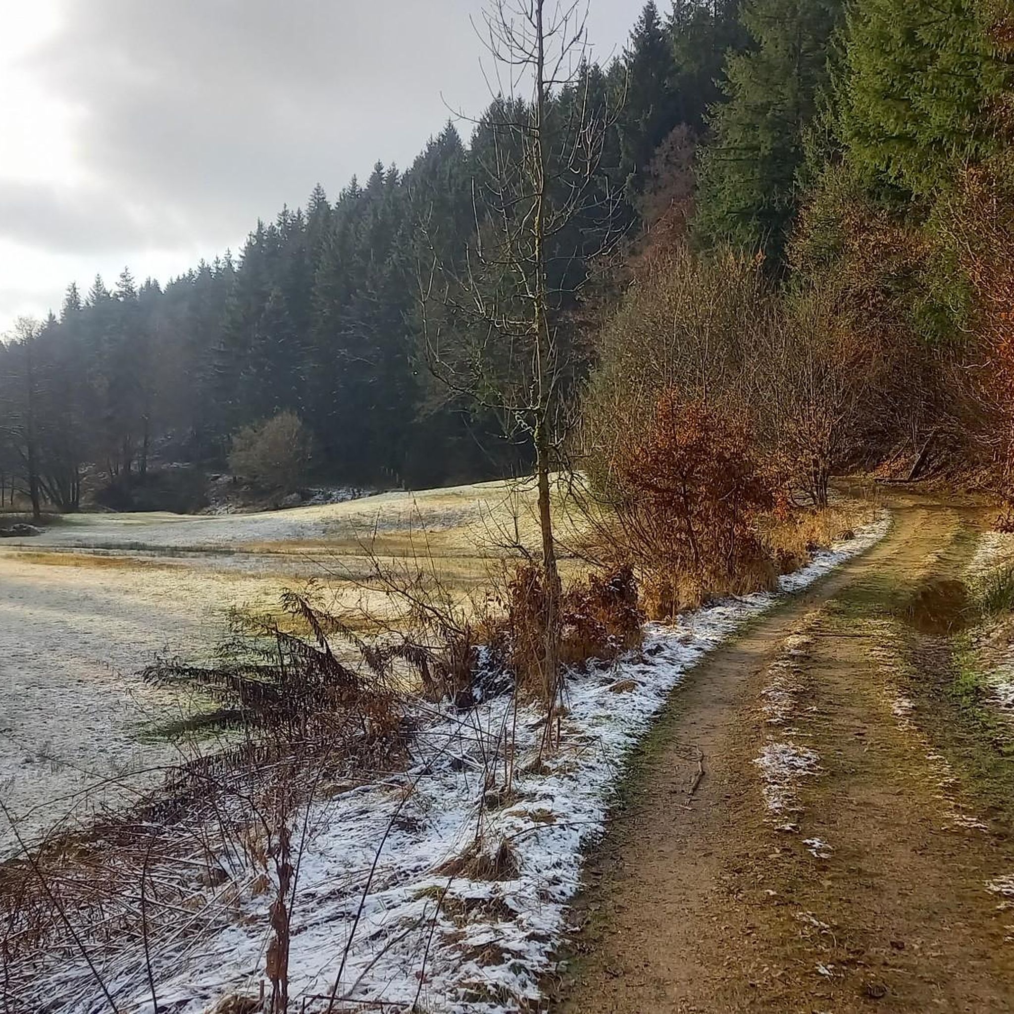
Tips from the Community

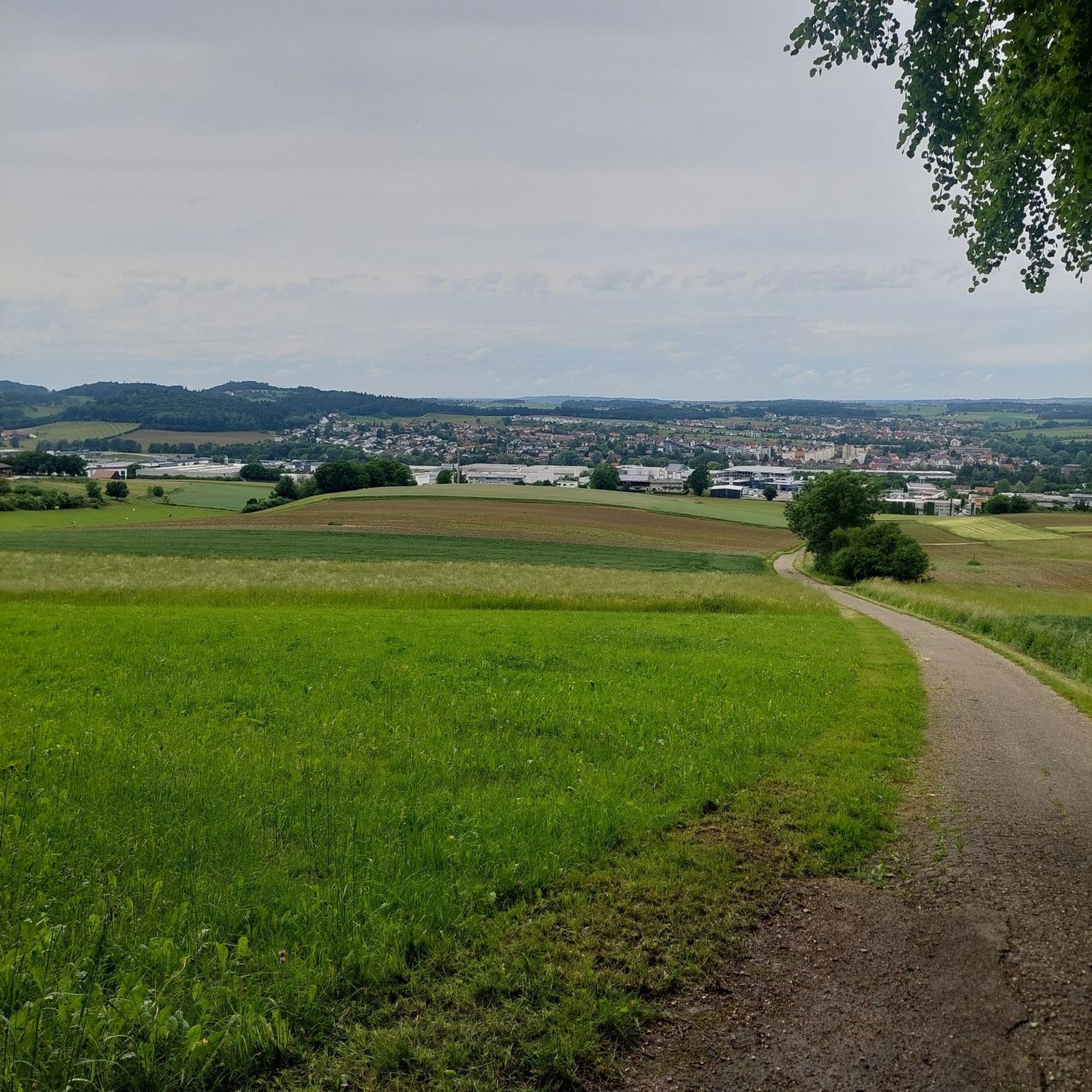
So we drove all the way up to have a look. The signage up there is rather modest and in a few places access is prohibited for unauthorized persons. There is a monastery tavern and a monastery garden up there on the mountain, which are obvious. The view from the top down into the Regental is rather difficult.
0
0

A rustic wooden bridge, which slightly changes direction in the middle with a kink, leads here over the Höllbach stream. On days when the wooden planks are particularly slippery, the railing attached to one side provides a little more security.
10
0
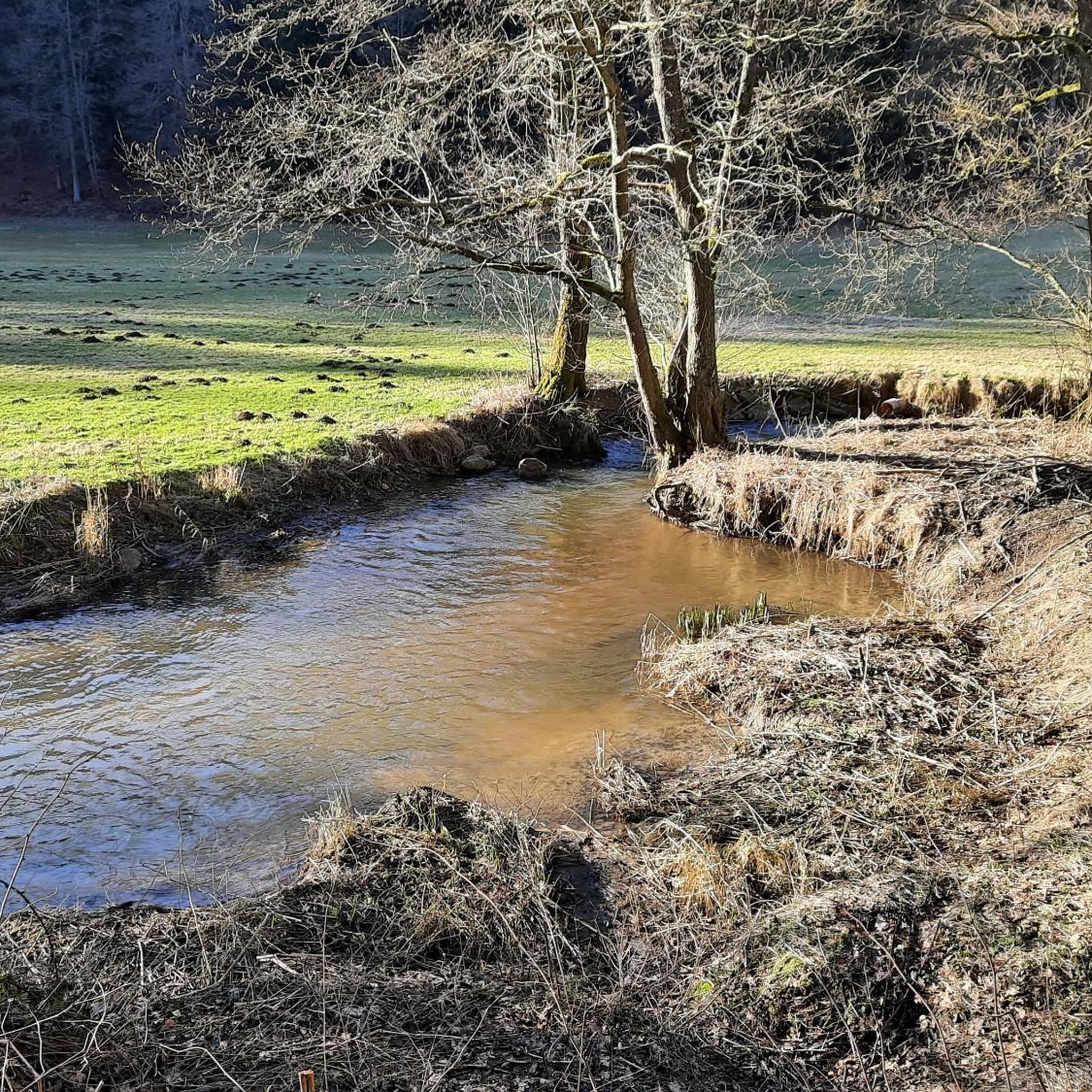
Not only the granite block sea and the roaring stream of the Höllbach shape the nature reserve. Some open meadow areas also belong to it.
15
0
The Hölle nature reserve encompasses an approximately 600-meter-long section of the Höllbachtal valley in the Falkensteiner Vorwald with the surrounding forest areas. The block sea of bizarrely weathered granite blocks along the Höllbach, as this section of the Wiesent's upper course is called, is an approximately 7000 square meter sub-area of the nature reserve established in 1950. It is part of the European "Natura 2000" protected area network. In the shady, cool and moist climate even in summer, numerous animal and plant species worthy of protection have been preserved.
10
0
Here begins the fantastic circular hiking trail through the "Hölle" nature reserve, which leads for long stretches along the Höllbach through the valley.
11
0
Parking is free at the large hiking parking lot near Postfelden. An overview board provides information about the hiking trails in the region.
9
0

Very beautiful nature along the quiet bike path.
0
0

Hidden behind bushes & hedges... a real lost place!
4
0
Frequently Asked Questions
What are the general characteristics of mountaineering routes around Altenthann?
Mountaineering routes in Altenthann traverse a landscape of rolling hills, dense woodlands, and river valleys. You'll find varied terrain, including elevations like the Hetzenbacher Höhe and Fellinger Berg, offering diverse ascents and scenic viewpoints. Trails often follow natural features such as the Höllbachtal and the Regen river, providing a mix of moderate challenges and easier paths.
How many mountaineering routes are available in Altenthann?
There are over 5 mountaineering routes documented around Altenthann, catering to various skill levels from easy strolls to more moderate climbs.
Are there any easy mountaineering routes suitable for beginners or families?
Yes, Altenthann offers routes suitable for beginners and families. An excellent option is the Flowing trail – Dynamite Trail at Keilstein loop from Tegernheim, which is rated as easy and covers 3.6 miles (5.8 km).
What kind of natural attractions can I expect to see along the routes?
The region boasts several natural attractions. You can explore the scenic Höllbachtal Trail, the Höllbach Valley (Hölle) Nature Reserve, and the unique Hölltal Rock Formations. The Höllbach Stream and Boulder Landscape also offers picturesque views.
Are there any longer, more challenging routes for experienced mountaineers?
While most routes are moderate, the Hetzenbacher Höhe loop from Wald (VGem) is one of the longer options at 6.2 miles (10.0 km), offering a circular journey with views of the surrounding countryside. Another good option for a longer moderate hike is the Reichenbach Monastery on the Regen – Pfaffenstein loop from Reichenbach, which is 9.1 miles (14.7 km).
What do other mountaineers say about the routes in Altenthann?
The mountaineering routes in Altenthann are highly rated by the komoot community, with an average score of 4.3 stars. Users often appreciate the varied terrain, the peaceful woodlands, and the well-maintained paths that make for an enjoyable outdoor experience.
Are there any circular mountaineering routes in the area?
Yes, many routes around Altenthann are circular, allowing you to start and end at the same point. Examples include the popular Höllbachtal Trail – Höllbach Wooden Bridge loop from Rettenbach and the Fellinger Berg – Marien Chapel in the dense forest loop from Tegernheim.
What historical or cultural landmarks can be found near the trails?
Beyond natural beauty, you can discover historical sites such as the Sengersberg Castle Ruins and Kürn Castle. The Fellinger Berg – Marien Chapel in the dense forest loop from Tegernheim also leads to a charming chapel.
What is the best season for mountaineering in Altenthann?
The region's rolling hills and dense woodlands make it enjoyable for mountaineering from spring through autumn. Spring offers lush greenery, summer provides warmer weather for longer days, and autumn brings beautiful foliage. Winter mountaineering is possible but requires appropriate gear due to potential snow and ice.
Are there any viewpoints offering panoramic vistas?
Yes, several routes provide excellent views. For instance, the Hetzenbacher Höhe loop offers views of the surrounding countryside. Additionally, the View of Regensburg and the Danube Valley from Keilstein is a notable highlight for expansive panoramas.
Is public transport available to access the mountaineering routes?
While specific public transport links to every trailhead are not detailed, Altenthann is a rural area. It's advisable to check local bus schedules or consider driving to trailheads, as many routes start from villages or designated parking areas.
Most popular routes around Altenthann
Most popular attractions around Altenthann

Get inspired with the komoot mobile app


Explore more
Browse the best Mountain Hikes & Routes in other regions.
