The best mountain hikes around Furth im Wald
4.7
(13)
99
hikers
12
hikes
Mountaineering routes around Furth im Wald are set within the extensive Bavarian and Upper Palatinate Forests, offering diverse terrain for challenging outdoor activities. The region features dense woodlands, rolling hills, and striking rock formations, providing a variety of experiences. Notable features include the Gibacht Mountain Massif with its impressive rock formations and the challenging ascent to Kreuzfelsen Summit. The area's landscape is characterized by its continental climate, supporting year-round exploration of its natural features.
Best mountaineering routes around Furth im…
Last updated: July 5, 2026
5.0
(1)
18
hikers
6.15km
02:31
290m
290m
Hard mountaineering route. Good fitness required. Sure-footedness, sturdy shoes and alpine experience required.
4.3
(3)
15
hikers
10.6km
04:00
540m
540m
Hard mountaineering route. Good fitness required. Sure-footedness, sturdy shoes and alpine experience required.

Sign up for free
5.0
(2)
10
hikers
Moderate mountaineering route. Good fitness required. Mostly accessible paths. Sure-footedness required.
7
hikers
5.75km
01:37
110m
110m
Moderate mountaineering route. Great for any fitness level. Mostly accessible paths. Sure-footedness required.
5.0
(2)
8
hikers
Moderate mountaineering route. Good fitness required. Mostly accessible paths. Sure-footedness required.
Get access to more routes and recommendations from other explorers.
Sign up for free
Already have an account?
Our route recommendations are based on thousands of hikes, rides, and runs completed by other people on komoot.
Start today with a free account
Your next adventure awaits.
Login or Signup
Popular around Furth im Wald
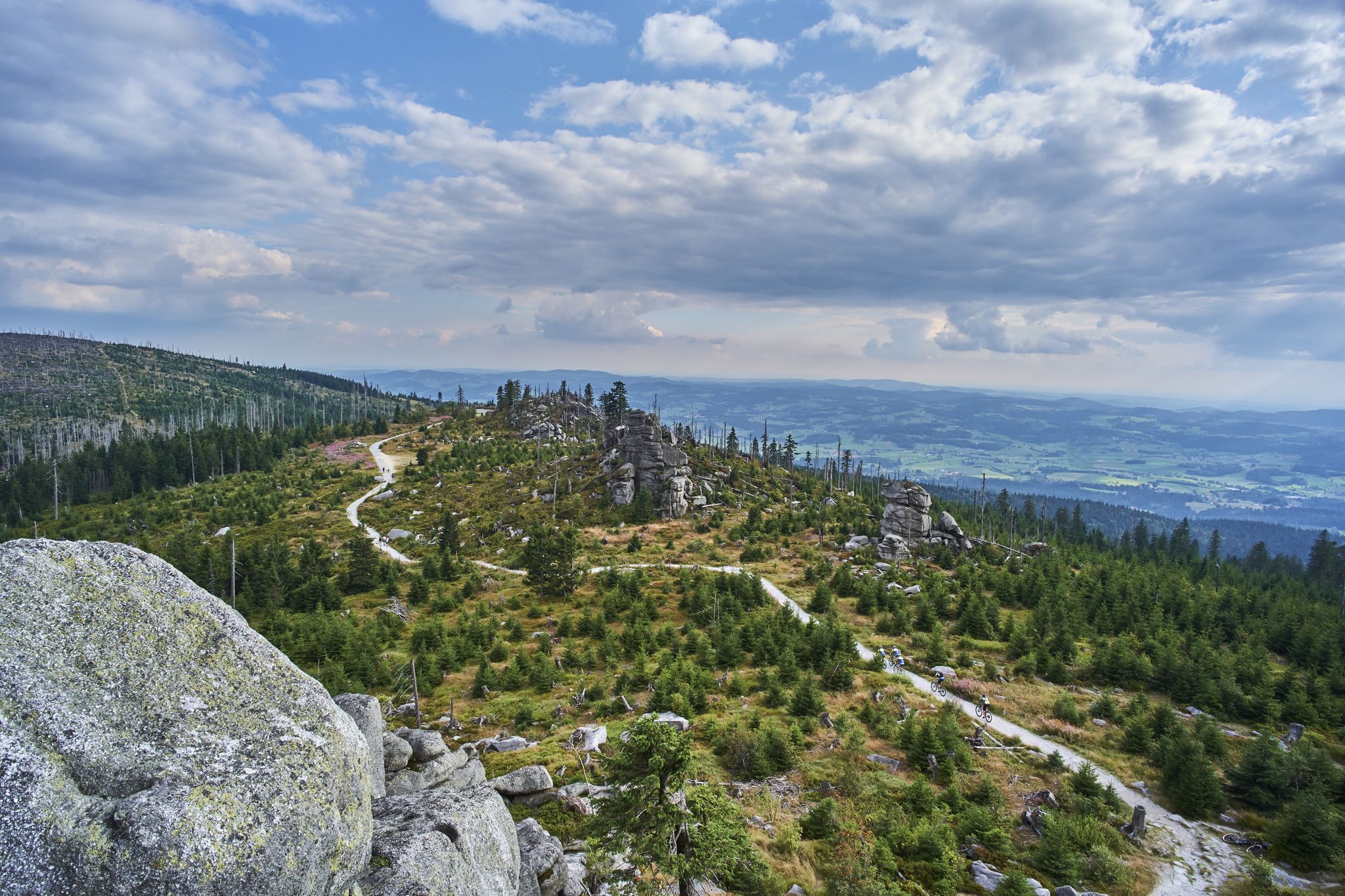
Trans Bayerwald – A mountain bike adventure through Bavaria's finest nature

The Goldsteig – 38 stages between Upper Palatinate and Passau
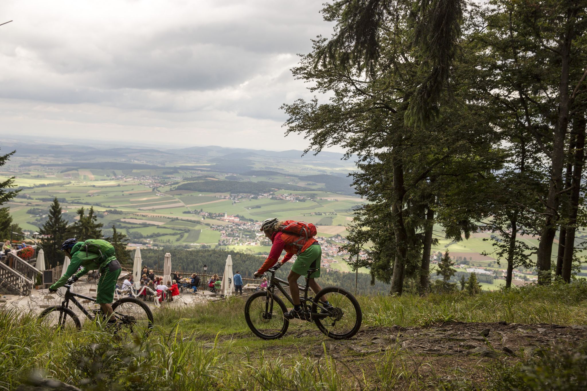
MTB Erlebnis im Naturpark Oberer Bayerischer Wald
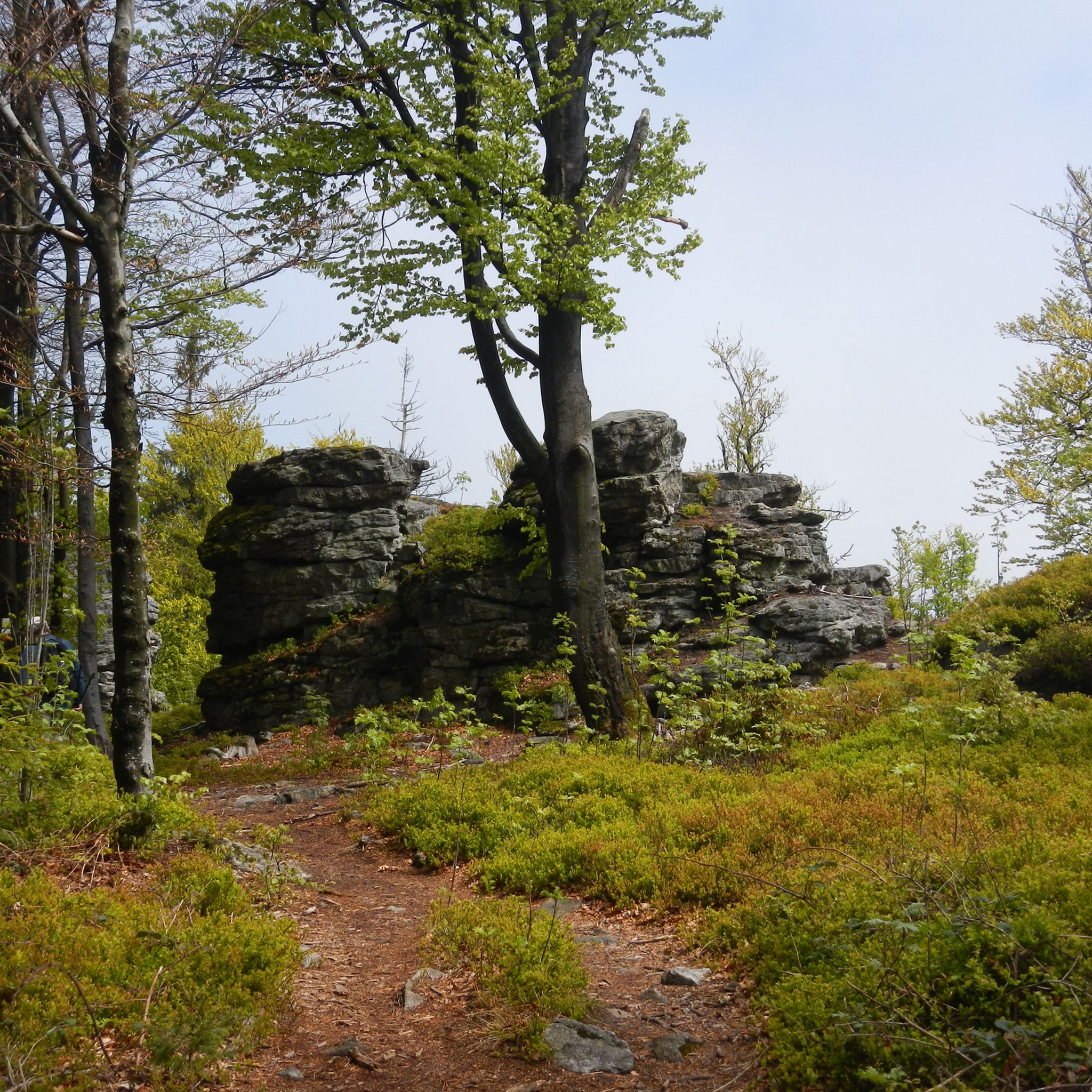
Hiking around Furth im Wald
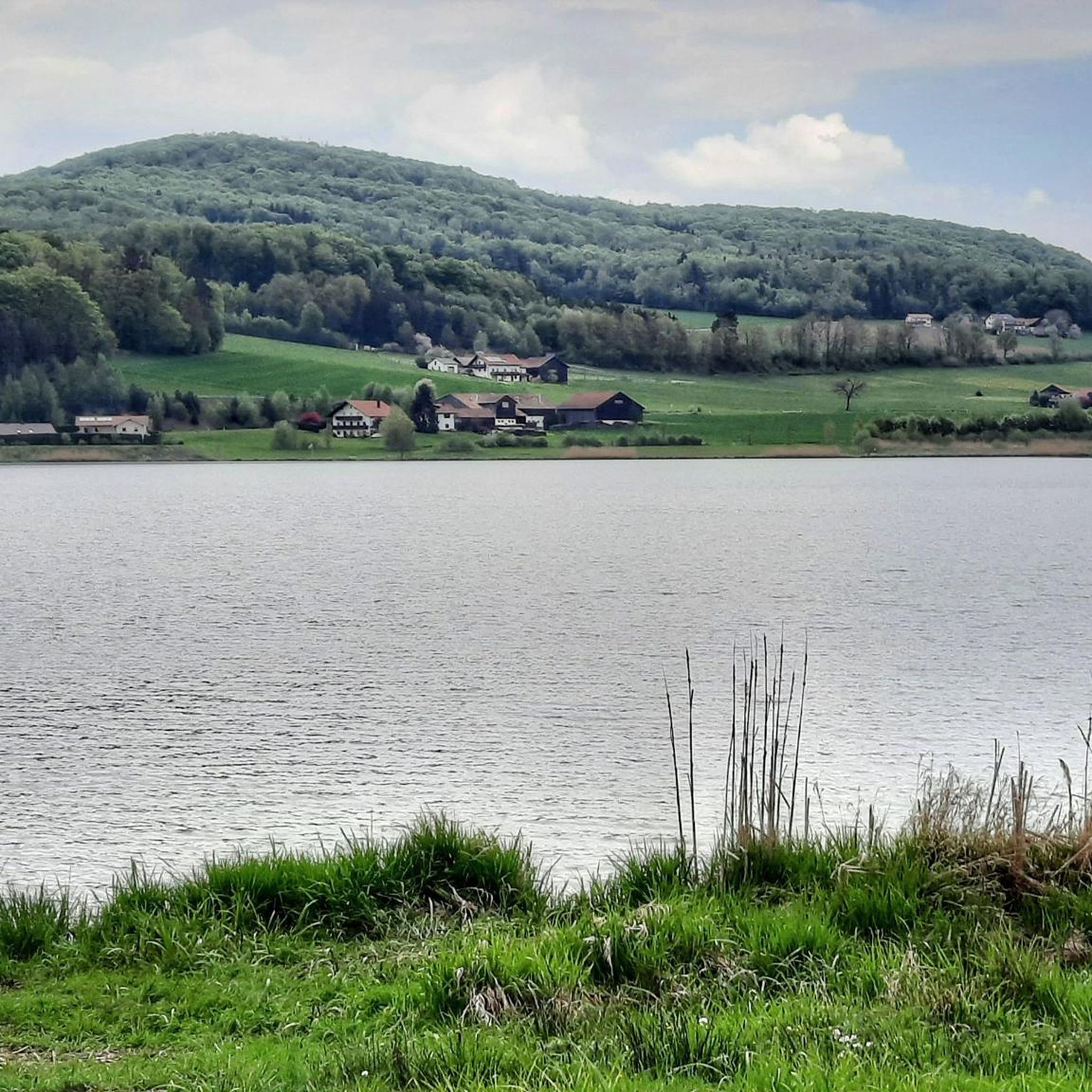
Cycling around Furth im Wald
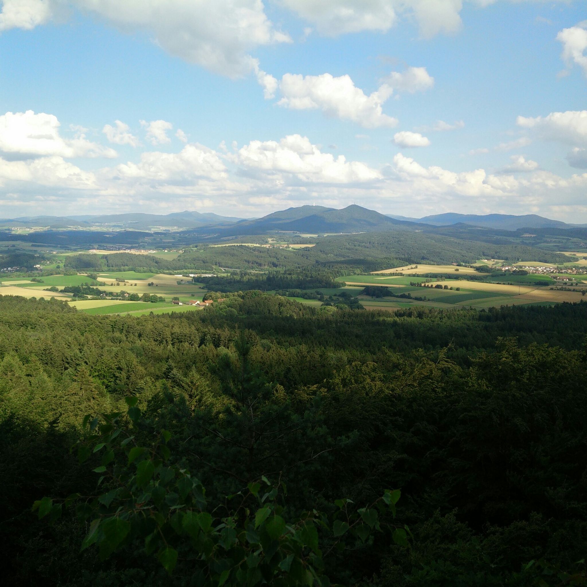
MTB Trails around Furth im Wald
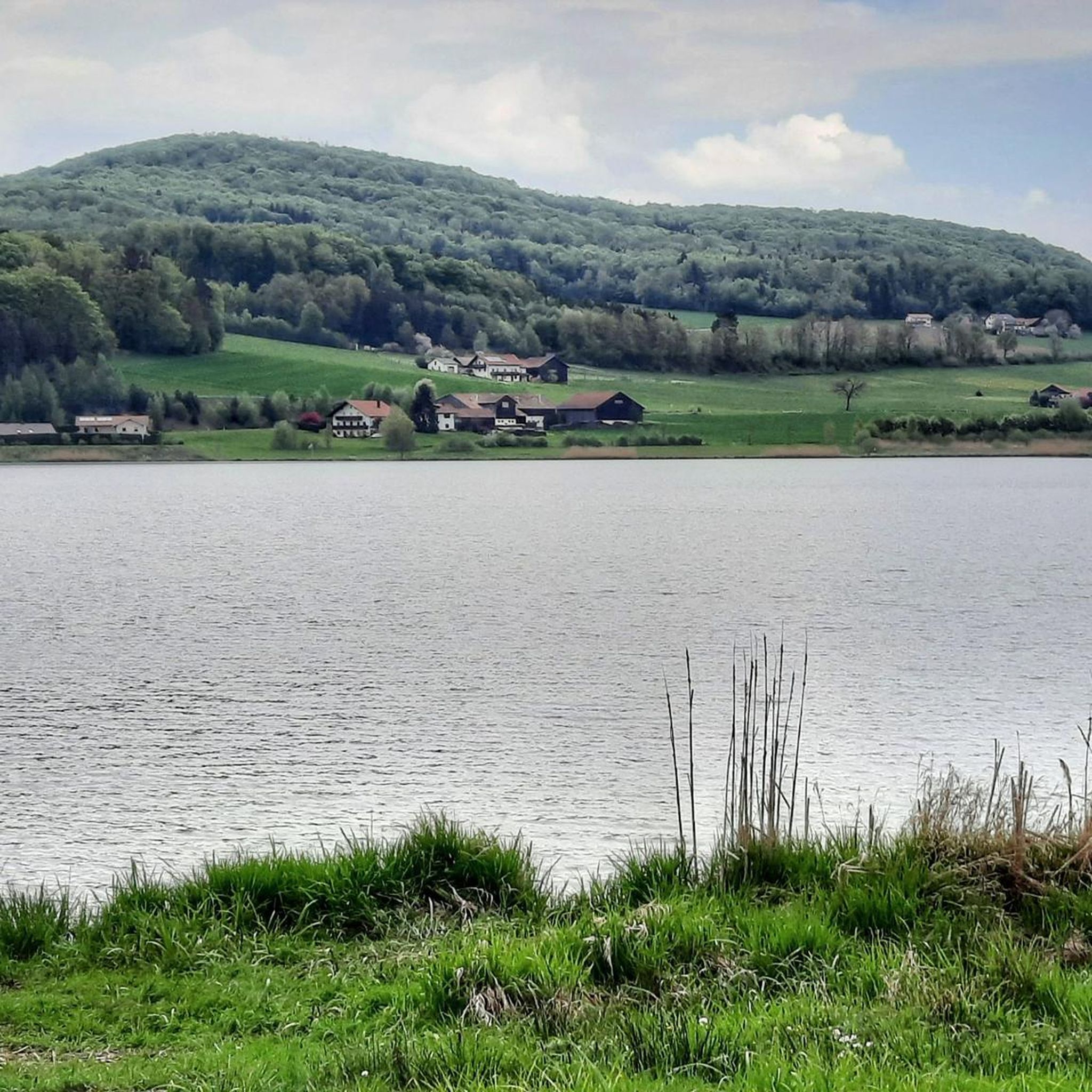
Road Cycling Routes around Furth im Wald
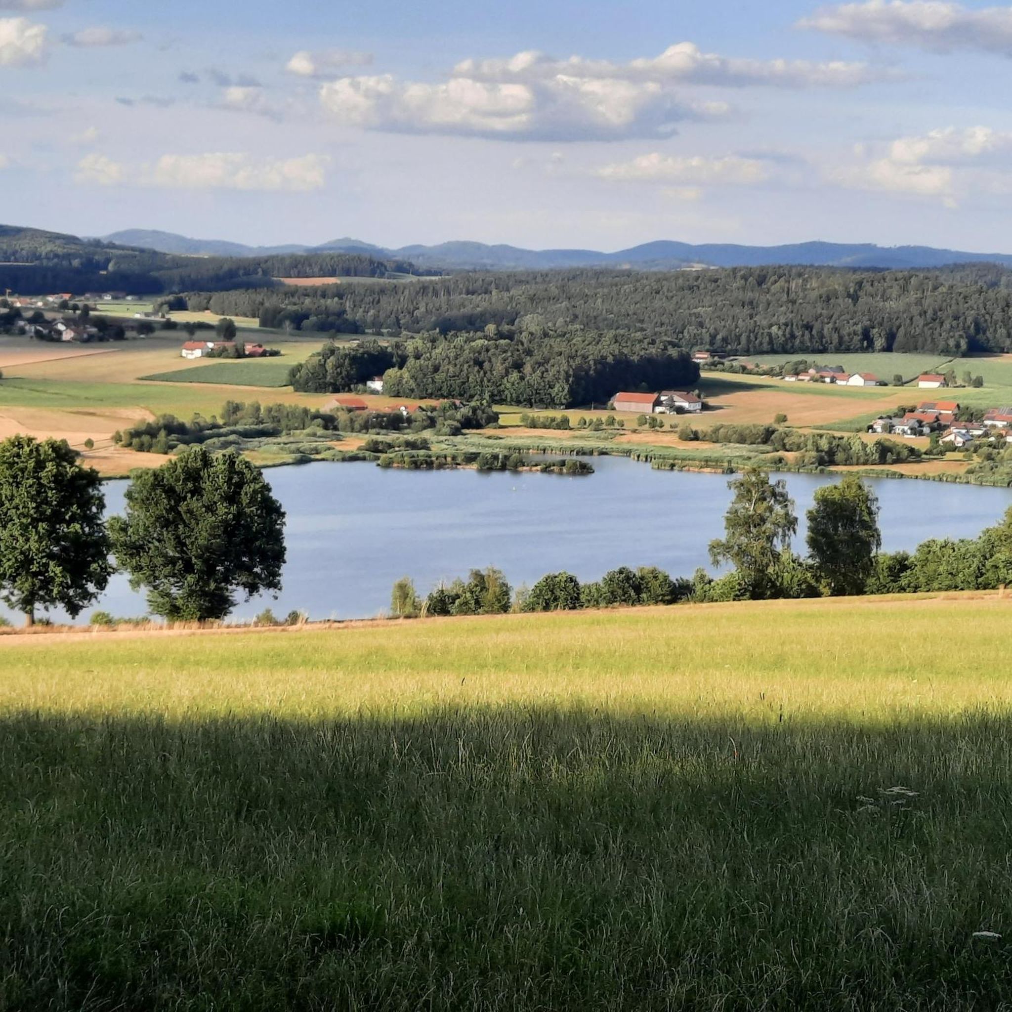
Running Trails around Furth im Wald

Gravel biking around Furth im Wald
Other adventures around Furth im Wald


Tips from the Community

You should also take a break in between
0
0

Great view, even if only in part.
1
0
Very good economy, delicious food and good drinks at reasonable prices with the best terrace view
2
0
The complex is very impressive. The viewing platform costs €6. Keep your receipt, as you'll need it again to exit. The view is phenomenal. There's a lovely beer garden at the base of the tower.
2
0
You quickly walk past it because the summit is barely visible.
1
0

The easiest way to get there is to take the chairlift from Neukirchen hl Blut up and then walk there and back and take the chairlift down again
1
0

very interesting construction! 😃
0
0

Frequently Asked Questions
How many mountaineering routes are available around Furth im Wald?
There are 12 mountaineering routes around Furth im Wald listed in this guide. These include 8 moderate and 4 difficult options, offering diverse challenges within the Bavarian and Upper Palatinate Forests.
What kind of terrain can I expect on mountaineering routes near Furth im Wald?
The terrain around Furth im Wald is characterized by dense forests, rolling hills, and striking rock formations. You'll encounter challenging ascents, rugged rock passages, and significant elevation changes, particularly in areas like the Gibacht Mountain Massif and on routes leading to summits such as Kreuzfelsen.
Are there any circular mountaineering routes in the area?
Yes, many routes are designed as loops. For example, the difficult Cross rocks – Ascent to the Räuber-Heigl Cave loop from Reitenberg and the moderate Bärenriegel (1,017 m) – Ahornriegel Summit Cross loop from Neukirchen beim Heiligen Blut are both excellent circular options.
What are some challenging mountaineering routes around Furth im Wald?
For a demanding experience, consider the Cross Rock – Mittagstein Chapel loop from Reitenstein, which features substantial elevation gain and panoramic views. Another difficult option is the Three Coats of Arms – Kreuzfelsen Summit (Gibacht) loop from Gibacht, known for its impressive rock formations and a short, cable-secured 'Kraxelpassage' near the summit.
Are there any routes suitable for beginners or those looking for a moderate challenge?
While many routes are challenging, there are moderate options available. The Bärenriegel (1,017 m) – Ahornriegel Summit Cross loop from Neukirchen beim Heiligen Blut is a moderate 10.5 km trail through dense forest. Another moderate choice is the Eckstein Summit (Hohenbogen) – Schönblick House loop from Sendeanlage Bayerischer Rundfunk, offering a rewarding experience without extreme difficulty.
What can I see along the mountaineering routes in terms of natural features or landmarks?
Many routes offer stunning natural features and landmarks. You can explore impressive rock formations like the Cross rocks, or visit the Kreuzfelsen Summit (Gibacht) with its monumental Jesus Cross and panoramic views. Some trails also lead past interesting caves, such as the Ascent to the Räuber-Heigl Cave.
What is the best time of year for mountaineering around Furth im Wald?
The region experiences a continental climate with warm summers and cold, snowy winters, making it suitable for year-round exploration. Summer and autumn offer pleasant conditions for hiking, while winter can provide opportunities for snowshoeing or winter mountaineering, though some routes may require specific gear and experience due to snow and ice.
Are there any viewpoints or observation towers along the routes?
Yes, the region offers several rewarding viewpoints. The Čerchov Observation Tower and Former Military Site provides expansive views from the highest mountain in the Upper Palatinate Forest. Additionally, the NATO Towers – Fernmeldesektor F Observation Platform offers another unique perspective of the landscape.
What do other mountaineers enjoy most about the routes in Furth im Wald?
The mountaineering routes in Furth im Wald are highly rated by the komoot community, with an average score of 4.7 stars. Reviewers often praise the challenging rock formations, the significant elevation changes, and the rewarding panoramic views over the Bavarian Forest and surrounding landscapes.
Are there any family-friendly attractions or activities near the mountaineering trails?
While the mountaineering routes themselves are generally challenging, the wider Furth im Wald area offers family-friendly options. The Rock Cellars of Furth im Wald can be an interesting historical stop. For a nature discovery experience, the Wildgarten Furth im Wald, with its interactive stations and underwater observation, is a great option for families.
Can I find any caves to explore near the mountaineering routes?
Yes, the region has several interesting caves. The Ascent to the Räuber-Heigl Cave is directly accessible from one of the mountaineering loops. Other notable caves include the Schrazelloch Cave and the Bear Cave on Rabenberg.
Most popular routes around Furth im Wald
Most popular attractions around Furth im Wald

Get inspired with the komoot mobile app


Explore more
Browse the best Mountain Hikes & Routes in other regions.
