The best road cycling routes around Ballyskeagh Low
4.5
(54)
2,777
riders
166
rides
Road cycling routes around Ballyskeagh Low traverse a landscape characterized by gentle undulations and open countryside, offering varied terrain for road cyclists. The region features a network of paved roads suitable for different skill levels, connecting rural areas with small towns. Elevation changes are generally moderate, providing a mix of flat sections and gradual climbs.
Best road cycling routes around Ballyskeagh Low
- The most popular road cycling route is View of Donaghadee Parade – Captain's Table Octopus Mural loop from…
Last updated: July 9, 2026
8
riders
26.3km
01:18
300m
300m
Moderate road ride. Good fitness required. Mostly well-paved surfaces and easy to ride.
9
riders
22.5km
01:02
230m
230m
Moderate road ride. Great for any fitness level. Some segments of this route may be unpaved and difficult to ride.

Sign up for free
10
riders
51.0km
02:16
440m
440m
Moderate road ride. Good fitness required. Some segments of this route may be unpaved and difficult to ride.
9
riders
54.2km
02:19
280m
280m
Moderate road ride. Good fitness required. Mostly well-paved surfaces and easy to ride.
3.0
(1)
11
riders
45.9km
02:02
270m
270m
Moderate road ride. Good fitness required. Mostly well-paved surfaces and easy to ride.
Get access to more routes and recommendations from other explorers.
Sign up for free
Already have an account?
Our route recommendations are based on thousands of hikes, rides, and runs completed by other people on komoot.
Start today with a free account
Your next adventure awaits.
Login or Signup
Tips from the Community


Carrowdore Castle Gate is one of the original 19th-century entrance lodges to the Carrowdore Castle estate in County Down. Built in a Gothic style, it features a castellated parapet and turret-like details that echo the look of the main house. Today it stands as one of the most distinctive remnants of the castle complex, marking the historic gateway to the estate.
1
0

Simple sandwiches, paninies and drinks. outdoor seating or in a covered space.
0
0

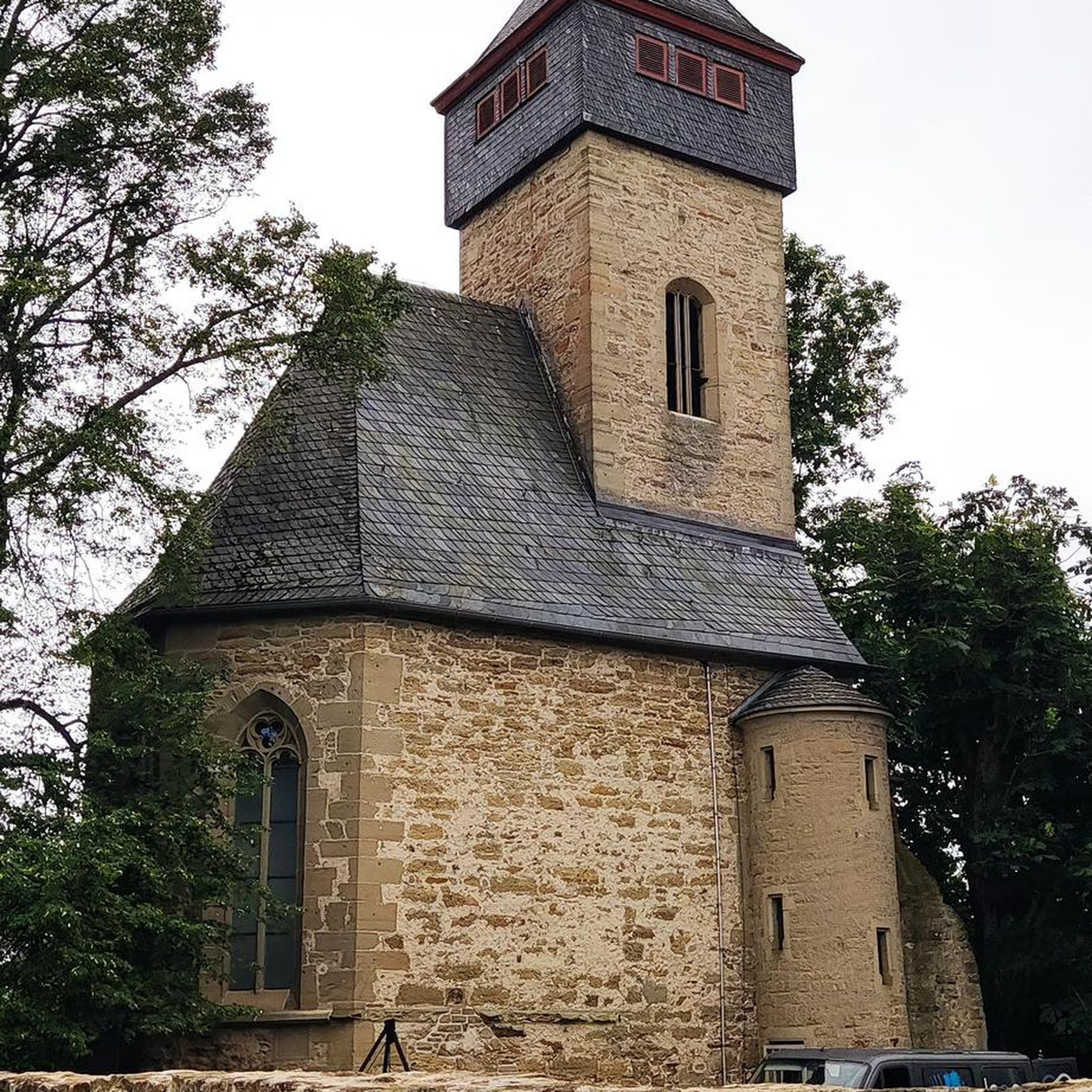
Limited access as it is propped up for never ending repairs.
0
0

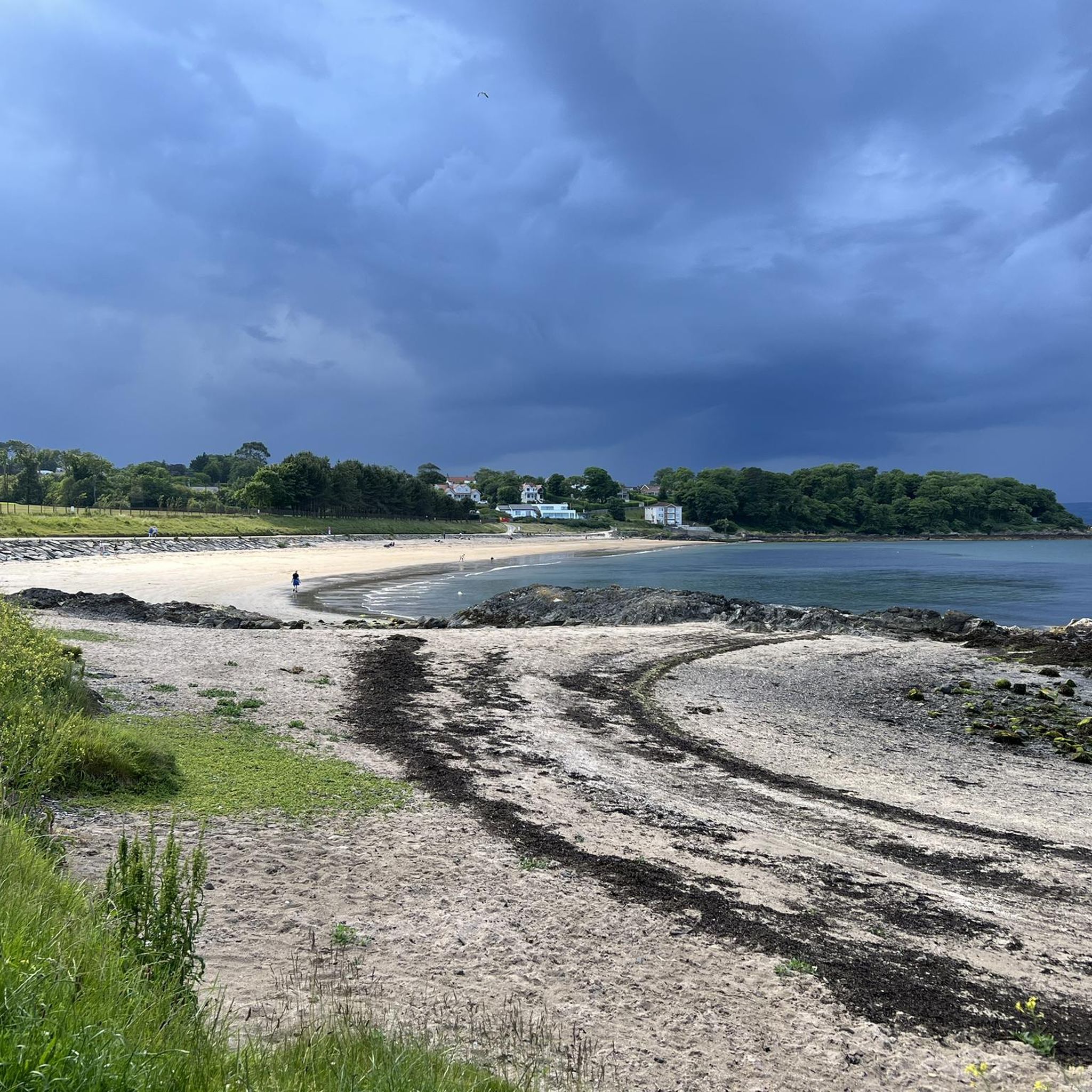
Helen's Bay Beach is one of two excellent beaches found in Crawfordsburn Country Park. These beautiful sandy beaches are by far the best within the Belfast area and as such are exceptionally popular and well used. Helen's Bay Beach is gently shelving and has excellent water quality making it ideal for bathing. The country park provides an excellent back drop to the beach, with wooded headlands, meadows, quality walks and good facilities. There are disabled toilets and disabled parking a short distance from the beach. A path suitable for wheelchair users leads from the car park to a path running adjacent to it. Nearby Crawfordsburn Country Park has a Cafe / Restaurant, Car Parking, Picnic Sites,Toilets, and a Visitor Centre.
0
0
Voted as one of the top ten gardens in the world, Mount Stewart reflects a rich tapestry of design and planting artistry bearing the hallmark of its creator. Edith, Lady Londonderry’s passion for bold planting schemes coupled with the mild climate of Strangford Lough allows rare and tender plants from across the globe to thrive in this celebrated garden. Each of the formal gardens exudes a distinct character and appeal. Mount Stewart is a delight for the senses with a series of formal themed garden compartments around the house including The Italian, Spanish, Mairi and Shamrock Garden.
0
0
WWT Castle Espie is home to the largest collection of ducks, geese and swans in Ireland. Wide open spaces, and wetlands full of the sights and sounds of nature. Surprised by just how much there is to see and do including a Cafe / Gallery, plenty of walks, and places to just sit and take it all in.
0
0
Always worth the ascent. If only for the view towards Sliev Croob and the Mournes. Beautiful patch work of swollen hills, cut by colourful fields, that meander all the way to the shore of Strangford Lough below. There are several interesting woodland gravel trails in the woods, connecting to Scrabo, and Ards. Twilight is magic up here. Smooth tarmac Decent down to Ards via Scrabo Road is a joy, with the tower on your left, and the sprawling Lough, and Newtownards to your right.
0
0
Frequently Asked Questions
How many road cycling routes are available in Ballyskeagh Low?
There are over 170 road cycling routes in Ballyskeagh Low, offering a wide range of options for different skill levels and preferences.
Are there easy road cycling routes suitable for beginners in Ballyskeagh Low?
Yes, Ballyskeagh Low offers a good selection of easy road cycling routes. For example, the Windmill Stump loop from Newtownards is an easy 11.9-mile (19.1 km) trail that takes about 51 minutes to complete, leading through rural landscapes.
What is the typical length of road cycling routes in Ballyskeagh Low?
Route lengths vary, but many popular routes range from 10 to 30 miles (16 to 48 km). For instance, the View of Donaghadee Parade – Captain's Table Octopus Mural loop from Newtownards is 27.9 miles (44.9 km), while the Helens Bay Railway Bridge – Helen's Bay Beach loop from Newtownards is 16.3 miles (26.2 km).
Are there challenging road cycling routes for experienced cyclists in Ballyskeagh Low?
While the region is characterized by gentle undulations, there are moderate routes that offer more elevation gain and longer distances for experienced cyclists. Approximately 125 routes are rated as moderate, providing a good challenge.
When is the best time of year to go road cycling in Ballyskeagh Low?
The best time for road cycling in Ballyskeagh Low is typically from late spring to early autumn (May to September), when the weather is generally milder and drier. However, routes are accessible year-round, with proper gear for cooler or wetter conditions.
Are most road cycling routes in Ballyskeagh Low circular?
Many of the popular road cycling routes in Ballyskeagh Low are designed as loops, allowing cyclists to start and finish at the same point. Examples include the Killynether Wood loop from Newtownards and the Kilmood Church – Poacher's Pantry loop from Newtownards.
What do other road cyclists enjoy most about road cycling in Ballyskeagh Low?
The area is highly rated by the komoot community, with an average score of 4.4 stars from over 60 reviews. Reviewers often praise the varied terrain, which includes open countryside, gentle hills, and coastal sections, as well as the well-maintained paved roads.
Are there scenic viewpoints or attractions along the road cycling routes in Ballyskeagh Low?
Yes, many routes offer scenic views and pass by interesting attractions. You might encounter historical sites like Grey Point Fort or the iconic Ballycopeland Windmill. Coastal routes often feature views of Helen's Bay Beach and the Holywood Esplanade and Coastal Path.
Where do road cycling routes typically start in Ballyskeagh Low?
Many routes in the area originate from or pass through towns like Newtownards, offering convenient starting points. Specific parking information for trailheads is often available in individual route descriptions on komoot.
Are there places to stop for refreshments along the road cycling routes?
Yes, many routes connect rural areas with small towns, where you can find cafes, shops, and other amenities for refreshments. Planning your route with komoot allows you to identify potential stops along the way.
Are there any interesting landmarks around Ballyskeagh Low that I can explore?
Beyond the cycling routes, the region boasts several notable landmarks. You could visit Helen's Tower, a striking historical monument, or enjoy the natural beauty of Kiltonga Nature Reserve Lake. The WWT Castle Espie Wetland Centre also offers a unique experience for nature lovers.
Most popular routes around Ballyskeagh Low
Most popular attractions around Ballyskeagh Low

Get inspired with the komoot mobile app


Explore more
Browse the best Road cycling routes in other regions.
