The best cycling routes around Tobermoney
5.0
(3)
85
riders
14
rides
Touring cycling routes around Tobermoney feature varied terrain, encompassing coastal paths, rural landscapes, and undulating hills. The region offers a mix of scenic routes suitable for different cycling preferences. These trails often traverse areas with views of the water and countryside. The landscape is characterized by its natural beauty, providing a diverse backdrop for touring cyclists.
Best touring cycling routes around Tobermoney
- The most popular touring cycling route is Delamont to Ardglass Harbour loop, a 32.1 miles (51.7 km)…
Last updated: June 27, 2026
4
riders
51.7km
03:05
340m
340m
Moderate bike ride. Good fitness required. Mostly paved surfaces. Suitable for all skill levels.
1
riders
62.8km
03:46
440m
440m
Moderate bike ride. Good fitness required. Mostly paved surfaces. Suitable for all skill levels.

Sign up for free
34.1km
02:02
220m
220m
Moderate bike ride. Good fitness required. Mostly paved surfaces. Suitable for all skill levels.
52.1km
03:09
380m
380m
Moderate bike ride. Good fitness required. Mostly paved surfaces. Suitable for all skill levels.
17
riders
86.0km
05:08
610m
610m
Hard bike ride. Very good fitness required. Mostly paved surfaces. Suitable for all skill levels.
Get access to more routes and recommendations from other explorers.
Sign up for free
Already have an account?
Our route recommendations are based on thousands of hikes, rides, and runs completed by other people on komoot.
Start today with a free account
Your next adventure awaits.
Login or Signup
Popular around Tobermoney
Tips from the Community

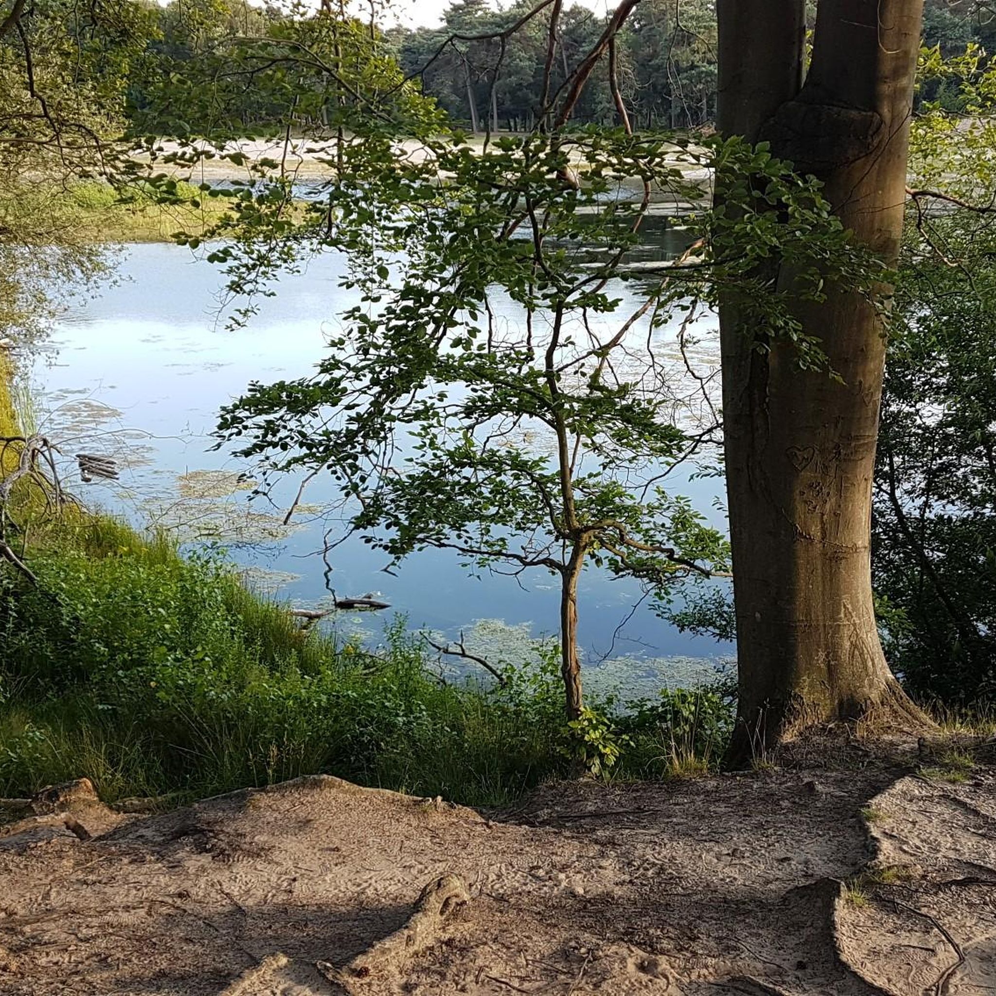
Lough Money is a quiet, almost mystical place, perfect for relaxing and taking a deep breath. The gentle waves of the lake gently hit the shore, while the reeds sway in the wind, creating a gentle rustling sound. Surrounded by rolling countryside and shady trees, you feel like you've been transported to another world. Ideal for a break on your bike ride.
0
0
The vast coastline stretches out endlessly before you, and the panorama with the majestic Mourne Hills in the background creates a scene that is hard to put into words. The gentle waves touching the sand and the silence of the surroundings make you feel the vastness and freedom of this place.
1
0
This impressive stone circle, dating from the late Neolithic to early Bronze Age, consists of over 50 upright stones enclosing a diameter of around 35 metres. Access is via a narrow hedge-lined path that takes you directly to the entrance of the circle
1
0

One of the best kept Circles I know of. The late Neolithic to earlier Bronze Age monument was excavated in 1937–1939 but its development and date are still not entirely clear. Excavation uncovered a slab feature with three compartments at the west end of the cairn, which could suggest the court tomb tradition, and a single stone cist at the east end which could point to the passage tomb tradition. Cremated remains representing at least seven individuals and some Neolithic pottery were found. Parallels for the outer stone circle with sites in Cumbria have been suggested.
1
0
The Well is an ancient site of pilgrimage with legends of Saint Patrick. The waters of the well are said to cure any ailment. Saint Patrick founded Ardtole Church which can be seen on the horizon. In the next field at low tide Saint Patrick's Road becomes visible. This was to be his route to the Isle of Man but when a red haired woman crossed his path he seen it as a bad omen and didn't make the journey.
0
0
Lough Money is the source for the River Slaney, which flows to the supposed landing spot of Saint Patrick on Strangford Lough. Lough Money’s water is remarkably clear as befits a facility that was once used as a reservoir for Downpatrick. The remains of the disused pumping station still stand on the island. Beautified by the presence of herons, just one of many bird species that comprise an abundance of bird life.
1
0
Windmill Hill is steeped in history. The remains of a windmill at the top of the hill are a reminder of a bygone era. Built in the late 1700s, the mill was used to grind wheat for the production of flour. But the picturesque site has also witnessed turbulent times and holds memories of the Battle of Ballynahinch. The battle, on June 12, was part of the 1798 Irish Rebellion fought between British forces and the United Irishmen.
0
0
The Dolmen can be found on the north east shore of Loughinisland Lake, within sight of Loughinisland Church. A slightly displaced capstone covers a rectangular chamber of which three side stones survive. An early account suggests that this was formerly inside a large circular cairn and approached through a lintelled passage, so it may be the remains of a passage tomb. It is famous as the platform from which Thomas Russell addressed a crowd of United Irishmen in 1803, after the main 1798 rising.
0
0
Frequently Asked Questions
How many touring cycling routes are available around Tobermoney?
There are over 15 touring cycling routes around Tobermoney, offering a variety of experiences for cyclists. These routes range in difficulty from easy to difficult, with the majority being moderate.
What kind of terrain can I expect on touring cycling routes in Tobermoney?
Touring cycling routes in Tobermoney feature varied terrain, including coastal paths, rural roads, and undulating hills. The region is known for its dramatic cliffs of the Niagara Escarpment and clear waters, providing a diverse and scenic backdrop for your rides.
Are there any easy touring cycling routes suitable for beginners or a relaxed ride?
Yes, there are easy routes available. For a more relaxed experience, consider the Mallard Plantation – View of Castle Ward Mansion loop from Portloughan. This route is approximately 9.1 miles (14.7 km) long with around 147 meters of elevation gain, making it a good option for those seeking a less strenuous ride.
What are some of the most scenic touring cycling routes in Tobermoney?
Many routes offer scenic views, particularly those along the coast. The Delamont to Ardglass Harbour loop is a popular choice, known for its coastal views and rural roads. Another excellent option for coastal scenery is the Saint John's Point loop from Downpatrick — Strangford & Lecale.
Are there any circular touring cycling routes in the Tobermoney region?
Yes, many touring cycling routes in Tobermoney are designed as loops, allowing you to start and end at the same point. Examples include the Saul to St Patrick's Well loop and the Ballydugan Lake to Rowallane Garden loop — Strangford & Lecale, both offering engaging circular journeys through the countryside.
What kind of attractions or landmarks can I see along the touring cycling routes?
The Tobermoney area is rich in historical and natural attractions. Along your rides, you might encounter sites like Castle Ward Tower (a notable filming location), the historic St. John's Point Lighthouse, and ancient structures such as Audley's Castle. Natural monuments like the Delamont Country Park also offer beautiful stops.
What do other touring cyclists say about the routes in Tobermoney?
The touring cycling routes in Tobermoney are highly rated by the komoot community, with an average score of 5.0 stars from over 4 reviews. Cyclists often praise the diverse terrain, from coastal paths to rural landscapes, and the scenic views of the water and countryside.
Is Tobermoney suitable for advanced touring cyclists looking for a challenge?
Yes, Tobermoney offers routes that cater to more experienced touring cyclists. While many routes are moderate, there are also difficult options available. These routes typically feature more significant elevation changes and longer distances, providing a good challenge for advanced riders.
What is the best time of year to go touring cycling in Tobermoney?
Tobermory's unique location between Lake Huron and Georgian Bay makes it enjoyable across seasons. While specific cycling conditions vary, the region's natural beauty, including old-growth forests and clear waters, can be appreciated from spring through autumn. Consider the weather conditions and your preference for foliage or warmer temperatures when planning your visit.
Are there any specific natural features to look out for while cycling in Tobermoney?
Absolutely. The region is at the northern end of the Niagara Escarpment, offering dramatic cliffs and breathtaking vistas. You'll also encounter crystal-clear waters, old-growth forests, and diverse ecosystems. Keep an eye out for the unique 'flowerpot' rock formations if you venture near Flowerpot Island, or the ancient 'cliff-dwelling' white cedars in Bruce Peninsula National Park.
Where can I find parking near the touring cycling routes in Tobermoney?
Parking is available at various points, often near popular attractions or trailheads. For example, Castle Ward Shore Car Park is one option that provides access to routes in that area. It's advisable to check specific route details for recommended parking locations.
Most popular routes around Tobermoney
Most popular attractions around Tobermoney

Get inspired with the komoot mobile app


Explore more
Browse the best Cycling routes in other regions.
