The best mountain hikes around Kolbermoor
4.6
(194)
1,766
hikers
41
hikes
Mountaineering around Kolbermoor provides access to the picturesque Alpine foothills of Upper Bavaria, Germany. The region features a varied terrain of rolling hills, green meadows, and nearby mountains, making it a base for mountain-oriented adventures. The landscape is characterized by its proximity to the Bavarian Alps, offering accessible peaks and impressive panoramic views. The Mangfall River and its canal also contribute to the scenic routes in the area.
Best mountaineering routes around Kolbermoor
- The most popular mountaineering route is Farrenpoint…
Last updated: September 23, 2026
4.8
(12)
119
hikers
14.6km
05:20
740m
740m
Hard mountaineering route. Very good fitness required. Mostly accessible paths. Sure-footedness required.
4.5
(11)
68
hikers
6.19km
02:44
410m
410m
Moderate mountaineering route. Good fitness required. Mostly accessible paths. Sure-footedness required.

5.0
(4)
48
hikers
12.9km
03:55
360m
360m
Moderate mountaineering route. Good fitness required. Mostly accessible paths. Sure-footedness required.
5.0
(6)
32
hikers
16.4km
06:30
1,050m
1,050m
Hard mountaineering route. Very good fitness required. Mostly accessible paths. Sure-footedness required.
5.0
(3)
20
hikers
12.6km
04:43
640m
640m
Moderate mountaineering route. Good fitness required. Mostly accessible paths. Sure-footedness required.
Get access to more routes and recommendations from other explorers.
Already have an account?
Our route recommendations are based on thousands of hikes, rides, and runs completed by other people on komoot.
Start today with a free account
Your next adventure awaits.
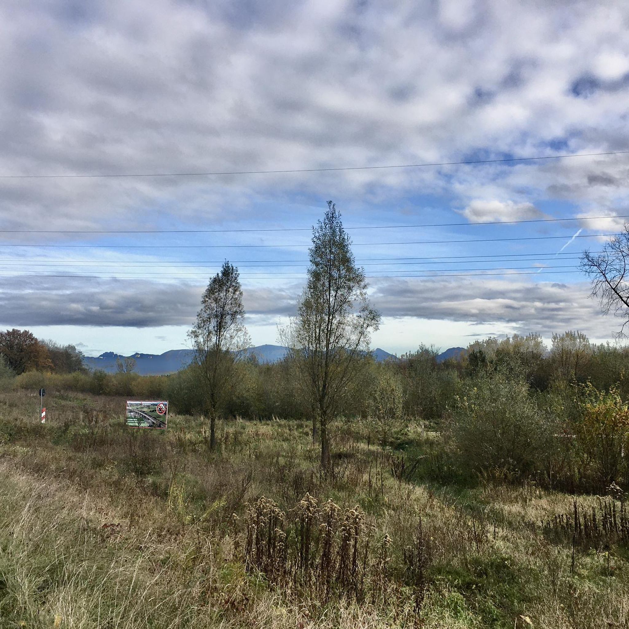
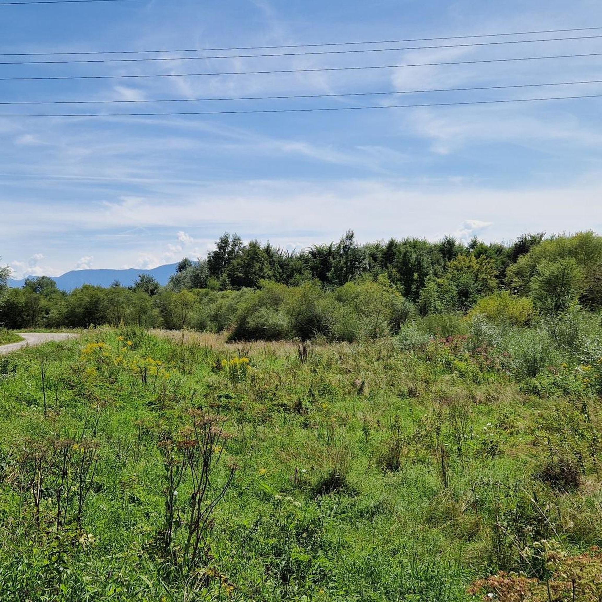
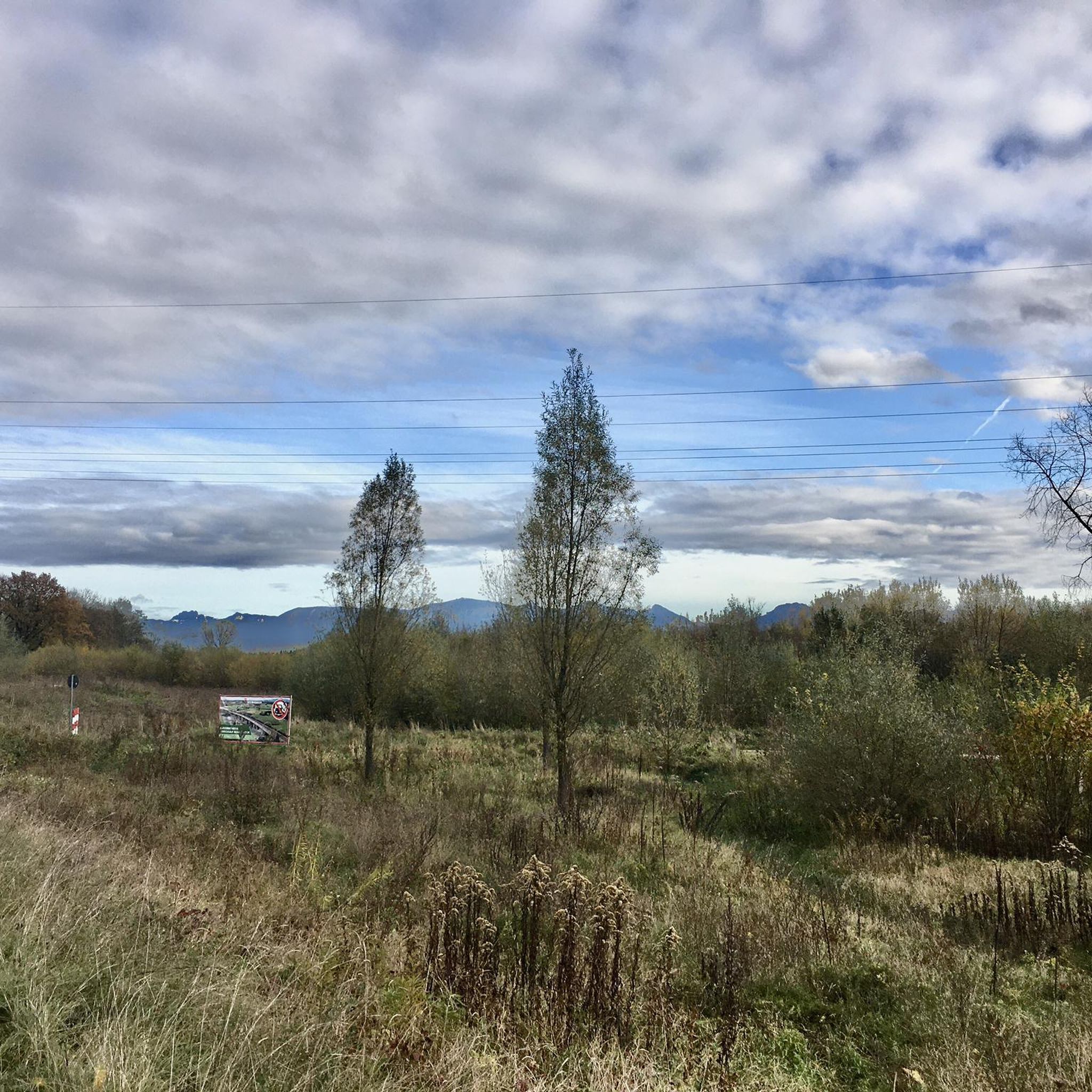
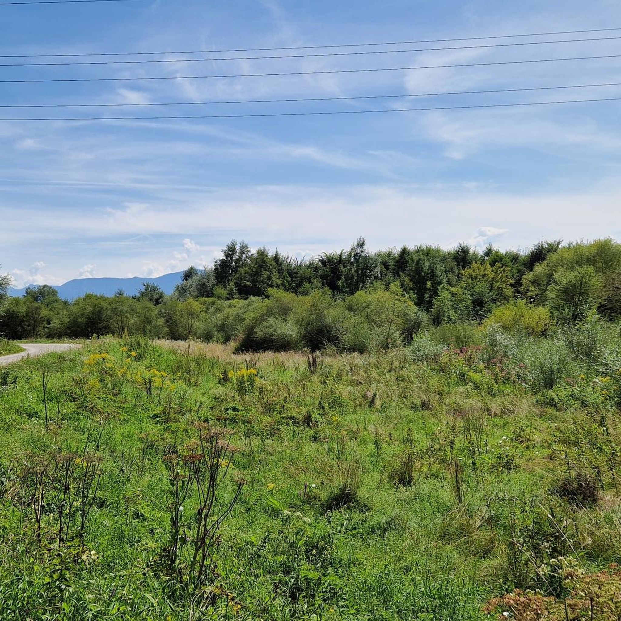
Tips from the Community


Anyone wanting to hike to Farrenpoint from Kutterling absolutely needs to be in good physical condition. The path on this side is challenging and leads steeply uphill all the time. See photos.
0
0

The Schubräu-Alm is located at an altitude of 1,157 meters and offers you a nice place to stop off during your hike in the Mangfall Mountains. Here you can recharge your batteries in the cozy parlor or on the terrace with delicious food and refreshing drinks. You can also stay overnight here. The Alm is open from May to October. Mondays and Tuesdays are closed. You can find more information about opening times at https://www.schuhbräu-alm.de/.
4
1

Lots of idyll, little spectacle.
0
0

You have to see it... simply beautiful 😊
0
0

Wonderful view of the Wendelstein
1
0

Easily accessible summit with a great panoramic view, but accordingly also often (very) well visited.
2
0
Invites you to take a short break with a few animals for the children and a small self-service machine.
0
0
Frequently Asked Questions
How many mountaineering routes are available around Kolbermoor?
There are over 40 mountaineering routes around Kolbermoor, offering a diverse range of experiences for outdoor enthusiasts. These routes are highly rated by the komoot community, with an average score of 4.7 stars.
Are there mountaineering routes suitable for beginners or families near Kolbermoor?
Yes, Kolbermoor offers several routes suitable for those new to mountaineering or families. While the guide focuses on mountain-oriented adventures, you'll find options that are less demanding. For example, the Tregler Alm loop from Bad Feilnbach is a moderate 3.8-mile path leading through forests and meadows, offering a pleasant experience without extreme difficulty.
What kind of views can I expect on mountaineering routes around Kolbermoor?
Mountaineering routes around Kolbermoor offer impressive panoramic views, particularly of the Alpine foothills. From peaks like Farrenpoint, you can enjoy expansive vistas of the surrounding landscape and even Munich on clear days. Schwarzenberg also provides wonderful views, especially north towards the Alpine foothills and south towards the Breitenstein and Schliersee mountains.
Are there any circular mountaineering routes in the Kolbermoor area?
Yes, many routes around Kolbermoor are designed as loops, allowing you to start and end in the same location. An example is the Farrenpoint Summit – Jenbach Gorge loop from Bad Feilnbach, a challenging 9-mile route that offers stunning views and takes you through varied terrain.
Can I find routes that feature waterfalls or other natural attractions?
Absolutely! The region boasts beautiful natural features. The Jenbach Waterfall – Jenbach Gorge loop from Bad Feilnbach is an excellent choice, leading you directly through the scenic Jenbach Gorge and past its impressive waterfall.
Are there any places to stop for food and drinks along the mountaineering routes?
Yes, you'll find welcoming spots to rest and refuel. The Tregler Alm is a popular hut located along several routes, offering food and drinks. Another notable resting point is the Schuhbräu-Alm, situated at 1,157 meters in the Mangfall Mountains, which provides refreshments and even overnight stays from May to October.
What are some notable landmarks or points of interest I can see near the mountaineering trails?
Beyond the natural beauty, the area around Kolbermoor is rich in landmarks. You might encounter historic sites like Maxlrain Castle or Maxhofen Castle. For natural highlights, the Farrenpoint summit itself is a significant landmark, as is the scenic Inn River in Rosenheim.
Are there any challenging mountaineering routes for experienced hikers?
For experienced mountaineers seeking a challenge, Kolbermoor offers several difficult routes. The Rampoldplatte Summit Cross – Mitterberg Summit Cross loop from Kutterling is a demanding 10-mile route with over 1,000 meters of elevation gain, providing a strenuous and rewarding experience.
What is the best time of year for mountaineering around Kolbermoor?
The spring and autumn months are particularly ideal for mountaineering around Kolbermoor due to mild weather and scenic landscapes, with vibrant spring flowers or beautiful autumn foliage. While some routes are accessible year-round, winter transforms the area into a wonderland, offering opportunities for winter sports, but requiring appropriate gear and conditions awareness for mountaineering.
Can I reach the mountaineering trailheads using public transport?
Kolbermoor's location in the Alpine foothills means some trailheads might be accessible via public transport, especially those starting from larger towns like Bad Feilnbach. For specific routes, it's always recommended to check local bus or train schedules to plan your journey accordingly. The Mangfall cycle path also offers a scenic way to access parts of the region.
Are there dog-friendly mountaineering routes in the area?
Many of the natural trails and paths around Kolbermoor are suitable for dogs, provided they are kept on a leash and you adhere to local regulations regarding wildlife and livestock. The varied terrain of forests and meadows makes for enjoyable walks with your canine companion. Always ensure your dog is fit for the chosen route and carry enough water for both of you.
Where can I find parking for mountaineering routes near Kolbermoor?
Many popular trailheads, especially those starting from towns like Bad Feilnbach, offer designated parking areas. It's advisable to check the specific route details on komoot for information on parking availability at the starting point of your chosen mountaineering tour. Routes like the Schwarzenberg Summit Cross – Tregler Alm loop from Bad Feilnbach typically have parking options nearby.
Most popular routes around Kolbermoor
Most popular attractions around Kolbermoor

Get inspired with the komoot mobile app


Explore more
Browse the best Mountain Hikes & Routes in other regions.
