The best mountain hikes around Kiefersfelden
4.5
(35)
468
hikers
25
hikes
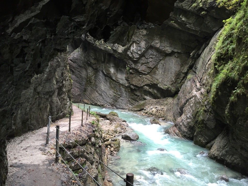
Mountaineering routes around Kiefersfelden are set in the foothills of the Bavarian Alps, characterized by the impressive rock formations of the Zahmer Kaiser and Wilder Kaiser mountains. The region features an average elevation of 782 meters, with peaks like the Große Traithen reaching 1852 meters. Dense forests cover approximately 60% of the municipal area, complemented by the Inn River and numerous mountain streams, including the Gießenbach gorge.
Best mountaineering routes around Kiefersfelden
- The most popular mountaineering route is Brünnstein summit…
Last updated: June 25, 2026
4.6
(10)
154
hikers
12.4km
05:08
920m
920m
Hard mountaineering route. Very good fitness required. Sure-footedness, sturdy shoes and alpine experience required.
4.5
(8)
61
hikers
Hard mountaineering route. Very good fitness required. Sure-footedness, sturdy shoes and alpine experience required.

Sign up for free
5.0
(2)
37
hikers
5.24km
01:39
190m
190m
Easy mountaineering route. Great for any fitness level. Easily-accessible paths. Suitable for all skill levels.
5.0
(2)
16
hikers
21.3km
07:53
1,110m
1,110m
Hard mountaineering route. Very good fitness required. Sure-footedness, sturdy shoes and alpine experience required.
5.0
(1)
12
hikers
12.8km
03:56
400m
400m
Moderate mountaineering route. Good fitness required. Mostly accessible paths. Sure-footedness required.
Get access to more routes and recommendations from other explorers.
Sign up for free
Already have an account?
Our route recommendations are based on thousands of hikes, rides, and runs completed by other people on komoot.
Start today with a free account
Your next adventure awaits.
Login or Signup

Other adventures around Kiefersfelden

Tips from the Community

A very well-secured via ferrata that takes you from the Brünnsteinhaus up to the summit in half an hour.
0
0
The Brünnstein is a beautiful panoramic peak in the Bavarian Prealps. Located above the Brünnstein Hut, an easy and very well-secured via ferrata leads to the summit. It can even be traversed, making it a worthwhile circular hike.
0
0

The covered wooden bridge over the Gießenbach stream near the Schopperalm is a charming and characteristic feature on the hiking route through the Gießenbach Gorge – especially on the way back to the farms around the Trojerhof.
1
0
Those crossing this bridge experience a transition between two sections of the hike: from the alpine pasture and the open terrain back into the forest and up to the meadows and pastures surrounding the Trojerhof. The bridge marks not only a geographical location, but also a change of atmosphere – the sound of the stream beneath the planks, the wooden roofs overhead, the feeling of protection from rain or strong sun.
1
0
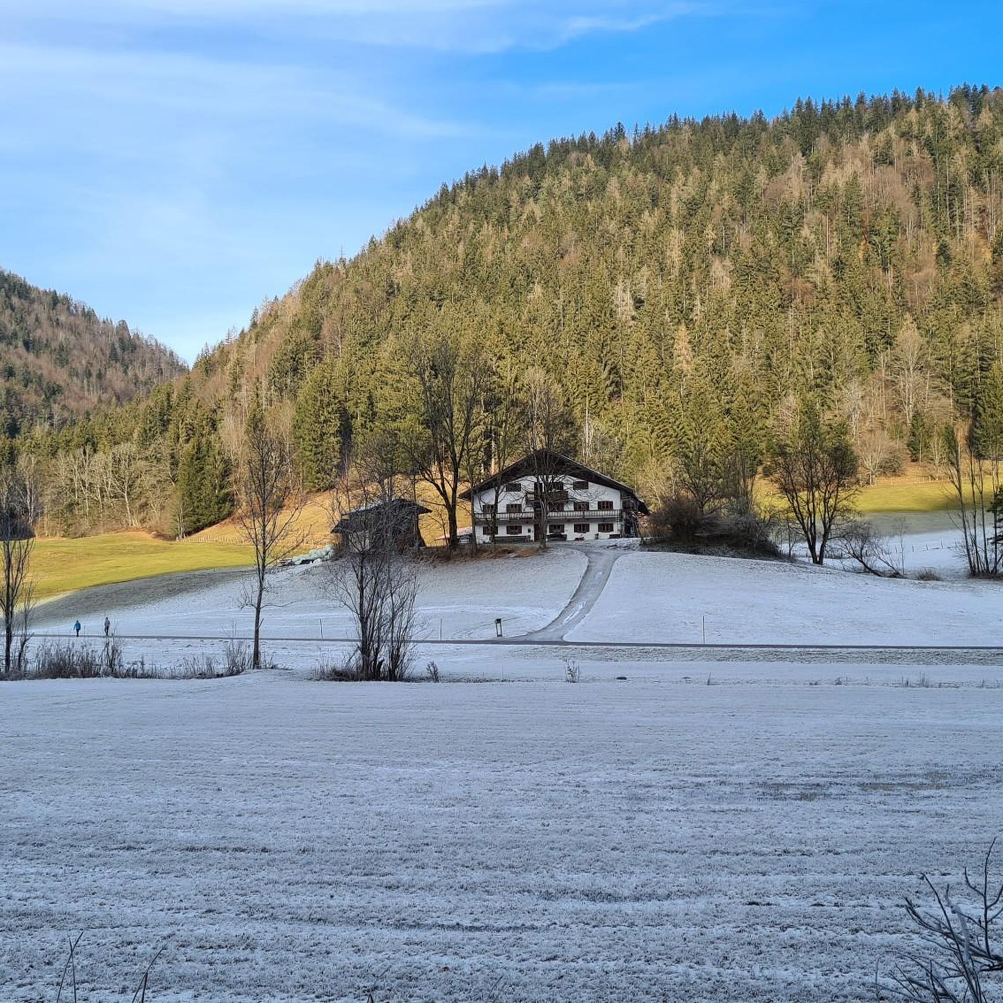
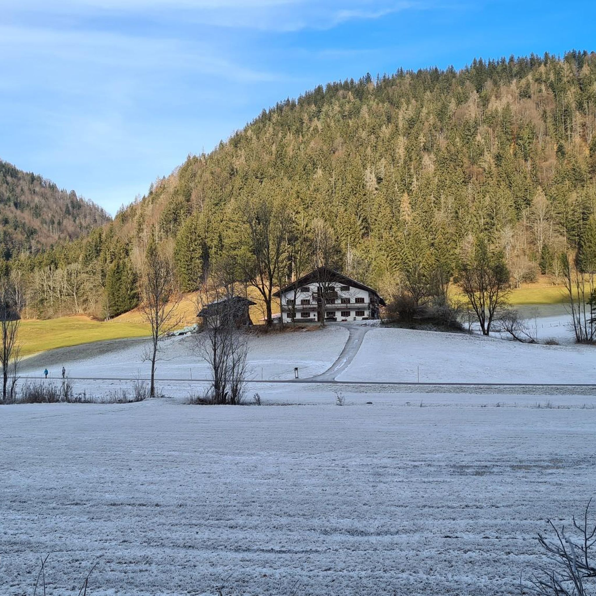
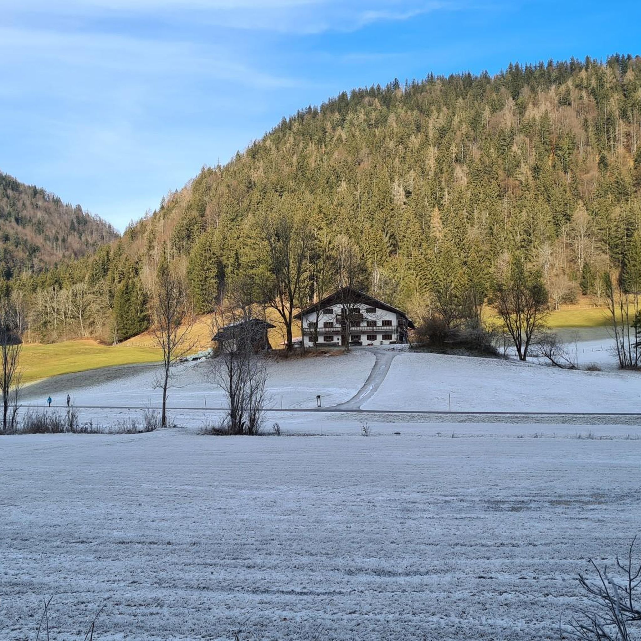
The Trojerhof, one of Bavaria's oldest mountain farms, is a place steeped in history, idyllic charm, and authenticity. About 5 kilometers outside Kiefersfelden, on a high plateau at an altitude of 656 meters near the German-Austrian border, it sits in a secluded location above the Inn Valley, nestled amidst meadows and forests, with sweeping views of the Wilder Kaiser. The history of the Trojerhof stretches back a long way. The field name "Troi" is of Celtic origin and means "cattle path"—there is evidence of settlements here as early as 500 BC. As early as 1140, the farm was mentioned in a ducal register of taxes as "ab dem Trayen," with tributes such as a measure of oats. Over the centuries, the main building has been altered several times: The current main building dates back to 1689, after the old farm burned down. In the meantime, an outbuilding (the so-called "Zuhaus") was built in 1742. The Marienkapelle (St. Mary's Chapel), a striking building on the farm, dates back to 1649 and has survived the ages. Today, the Trojerhof farm is a living monument to rural tradition. It is an organic mountain farm with an alpine atmosphere, with livestock (cows, sheep, etc.), forestry, and the preservation of the old farm structures. The location and access are also distinctive: an approximately 800-meter-long mountain road with gradients of up to 25% leads up. In winter, the path is difficult, and snow chains or four-wheel drive vehicles are often necessary.
1
0
Lake Pfrill near Kufstein is a small but idyllic natural gem amidst dense forests. It lies about 100 meters above Kufstein at 612 meters above sea level and is the smallest of the six bathing lakes west of the city. Lake Pfrill is freely accessible and free to use. In summer, it serves primarily as a bathing lake and excursion destination; hikers appreciate it as part of the "Four Lakes Hike," which also includes Lake Längsee, Lake Egelsee, and Lake Hechtsee.
1
0
The Thierberg Castle ruins lie above Kufstein in Tyrol at an altitude of approximately 721 meters and are among the oldest castles in the region. They were built around 1280 by the Lords of Freundsberg as a small hilltop fortress to secure the Inn Valley. Over the centuries, the castle changed hands several times – among other things, it belonged to Bavaria for a time before falling to Tyrol in 1504. The striking keep has been preserved to this day and offers impressive panoramic views of Kufstein, the Inn Valley, and the Kaiser Mountains. Within the old walls lies the Thierberg Chapel, a popular pilgrimage site with numerous votive images and a quiet, spiritual atmosphere. A hermit traditionally lives next to the chapel to look after the site. Today, the Thierberg Castle ruins are a historic tourist destination that combines history, nature, and faith in a unique way.
2
0
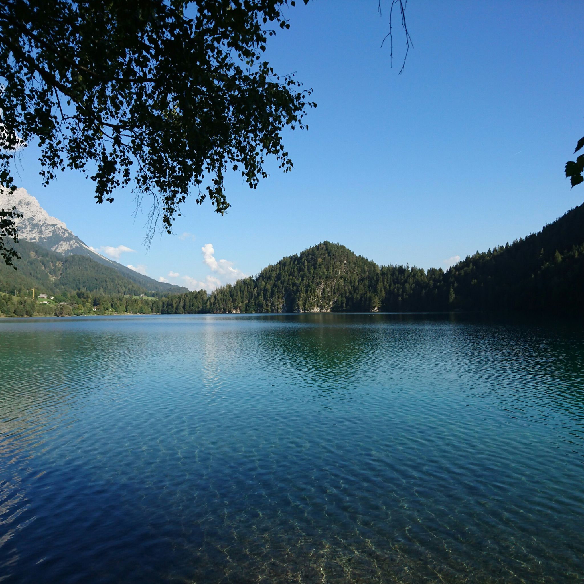
In addition to predatory fish such as pike and zander, Lake Hecht is home to various non-predatory fish species, including carp. Carp tend to prefer shallower areas or shore zones with reeds, underwater plants, and bottom structures where they find food (e.g., insect larvae, worms, and plant parts). Due to the lake's considerable depth (maximum of approximately 57 meters) and clear water, carp likely retreat to coastal shore areas during warmer months, where food availability and temperatures are more favorable. Their well-being is limited in cooler depths.
2
0
Frequently Asked Questions
How many mountaineering routes are available around Kiefersfelden?
Kiefersfelden offers a wide range of mountaineering experiences, with over 25 routes documented on komoot. These routes cater to various skill levels, including easy, moderate, and difficult ascents into the Bavarian Alps.
Are there any easy mountaineering routes suitable for beginners or families?
Yes, Kiefersfelden has several easy mountaineering routes. A good option is the Schopperalm – Schopperalm loop from Hechtsee. This 3.3-mile (5.2 km) trail leads through forested areas and past the Schopperalm, typically taking about 1 hour 39 minutes to complete with an elevation gain of around 195 meters.
What are some challenging mountaineering routes in the Kiefersfelden area?
For experienced mountaineers seeking a challenge, the region offers difficult routes like the Brünnstein summit – Brünnstein Summit loop from Grafenloch. This 7.8-mile (12.6 km) trail involves sustained ascents to the Brünnstein summit, with an elevation gain of over 900 meters, and typically takes over 5 hours. Another demanding option is the Brünnstein summit – Brünnstein Hut loop from Hechtsee, a 20.7 km route with over 1000 meters of ascent.
Are there any circular mountaineering routes around Kiefersfelden?
Many of the mountaineering routes in Kiefersfelden are designed as loops, allowing you to start and end at the same point. Examples include the difficult Brünnstein Hut – Brünnstein Summit loop from Wald-Wild-Schongebiet Kleiner Brünnberg, which traverses alpine terrain, and the moderate Hechtsee (Lake Hecht) – Pfrillsee loop from Kiefersfelden, offering scenic views around the lakes.
What natural landmarks or viewpoints can I expect to see on these routes?
The mountaineering routes around Kiefersfelden offer breathtaking views of the Zahmer Kaiser and Wilder Kaiser mountains. You'll encounter dense forests, mountain streams, and potentially the wild Gießenbach gorge. Many routes lead to summits like Brünnstein, providing panoramic vistas. You might also pass by mountain huts such as Rotwandhaus, which serve as excellent viewpoints and rest stops.
What is the best time of year for mountaineering in Kiefersfelden?
The warmer months, from late spring through autumn, are generally ideal for mountaineering in Kiefersfelden, offering pleasant temperatures and clear trails. However, the region transforms into a snow-covered landscape in winter, providing opportunities for ski touring and winter mountaineering, though these require specialized gear and awareness of conditions like avalanche risk, especially on routes to peaks like Große Traithen.
Are there any dog-friendly mountaineering trails in Kiefersfelden?
While specific dog policies can vary, many trails in the Kiefersfelden region are generally accessible for dogs, provided they are kept on a leash, especially in forested areas and near wildlife. It's always advisable to check local regulations or specific route descriptions for any restrictions before heading out with your canine companion.
Where can I find parking for mountaineering trailheads in Kiefersfelden?
Parking is typically available near popular trailheads. For routes leading to Brünnstein, you might find parking options around Grafenloch or near the Wald-Wild-Schongebiet Kleiner Brünnberg. For trails around Hechtsee or Schopperalm, parking is often available close to the lake or along access roads. Specific parking details are usually provided in individual route descriptions on komoot.
Can I access mountaineering routes in Kiefersfelden using public transport?
Kiefersfelden is well-connected, and some trailheads are accessible via public transport. Local bus routes often serve areas close to popular hiking and mountaineering starting points. For example, routes around Hechtsee or the Gießenbachklamm might be reachable by local buses. It's recommended to check current bus schedules and stops in relation to your chosen trailhead.
Are there mountain huts or cafes along the mountaineering routes?
Yes, the Kiefersfelden area features several mountain huts that offer refreshments and sometimes accommodation, serving as excellent rest points during your mountaineering tour. The Brünnstein Hut is a prominent example, often included in routes to the Brünnstein summit. The Rotwandhaus is another well-regarded mountain hut in the area. Additionally, you'll find cafes and pubs in Kiefersfelden itself and potentially in nearby villages.
What do other mountaineers enjoy most about the Kiefersfelden routes?
The mountaineering routes in Kiefersfelden are highly rated by the komoot community, with an average score of 4.9 stars from over 30 reviews. Mountaineers often praise the diverse terrain, from challenging alpine ascents to serene forest paths, and the stunning panoramic views of the Kaiser mountains. The well-maintained trails and the opportunity to visit traditional mountain huts are also frequently highlighted.
Are there any permits required for mountaineering in Kiefersfelden?
Generally, no specific permits are required for day mountaineering trips on marked trails in the Kiefersfelden region. However, it's always good practice to be aware of any local regulations, especially concerning protected areas or specific climbing routes. Always respect private property and environmental guidelines.
Most popular routes around Kiefersfelden
Most popular attractions around Kiefersfelden

Get inspired with the komoot mobile app


Explore more
Browse the best Mountain Hikes & Routes in other regions.
