The best mountain hikes around Saulgrub
4.7
(1148)
10,213
hikers
137
hikes
Mountaineering routes around Saulgrub are situated within the Ammergau Alps, characterized by extensive spruce forests and the Ammer River, one of Germany's last wild rivers. The region is framed by the Hörnle (1548 meters) to the east and the Hochschergen (1396 meters) to the west, offering a diverse alpine backdrop. Natural features include high moorlands, orchid meadows, and the Ammerschlucht (Ammer Gorge), providing varied terrain for mountaineering.
Best mountaineering routes around Saulgrub
- The most popular mountaineering route is Up the…
Last updated: October 13, 2026
4.5
(2)
7
hikers
14.3km
06:15
720m
720m
Hard mountaineering route. Very good fitness required. Mostly accessible paths. Sure-footedness required.
3.0
(2)
35
hikers
6.94km
02:50
520m
520m
Moderate mountaineering route. Good fitness required. Mostly accessible paths. Sure-footedness required.

5.0
(4)
18
hikers
Moderate mountaineering route. Good fitness required. Mostly accessible paths. Sure-footedness required.
4.0
(1)
17
hikers
4.32km
01:35
210m
210m
Moderate mountaineering route. Great for any fitness level. Mostly accessible paths. Sure-footedness required.
12
hikers
7.64km
03:04
530m
530m
Moderate mountaineering route. Good fitness required. Mostly accessible paths. Sure-footedness required.
Get access to more routes and recommendations from other explorers.
Already have an account?
Our route recommendations are based on thousands of hikes, rides, and runs completed by other people on komoot.
Start today with a free account
Your next adventure awaits.
Popular around Saulgrub
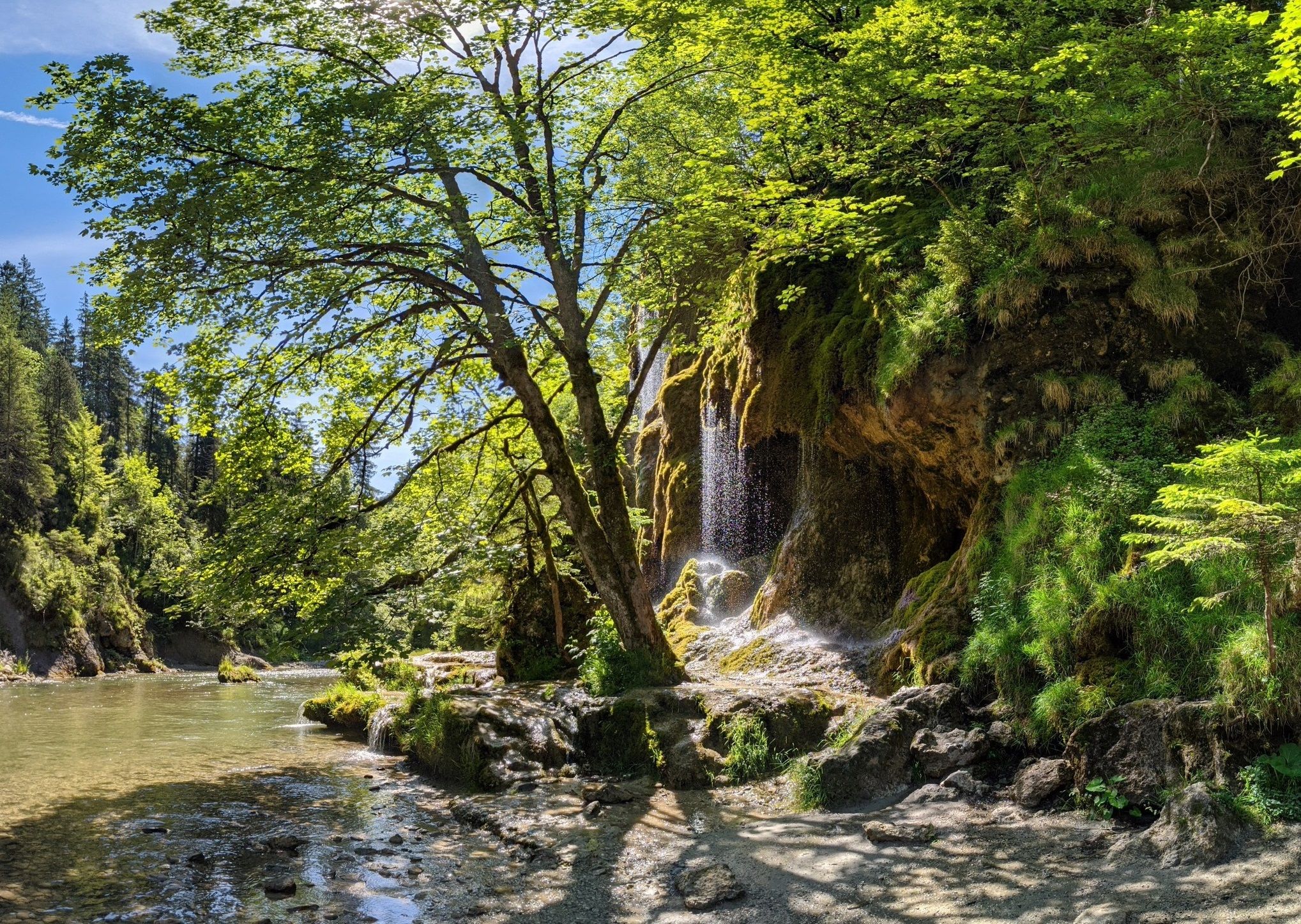
Ammergau Alps meditation path in Bavaria – Breathe in, breathe out
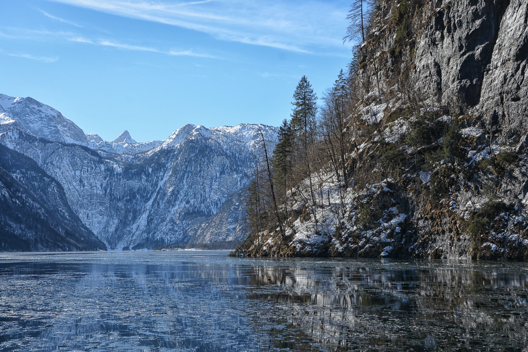
Winter in Upper Bavaria – 8 wonderful hikes
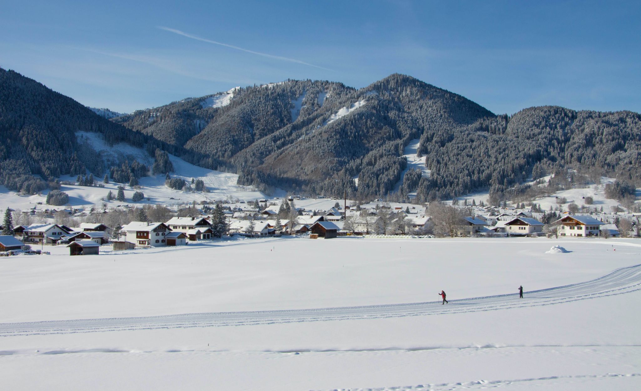
Auf ruhigen Loipen durch den Naturpark Ammergauer Alpen
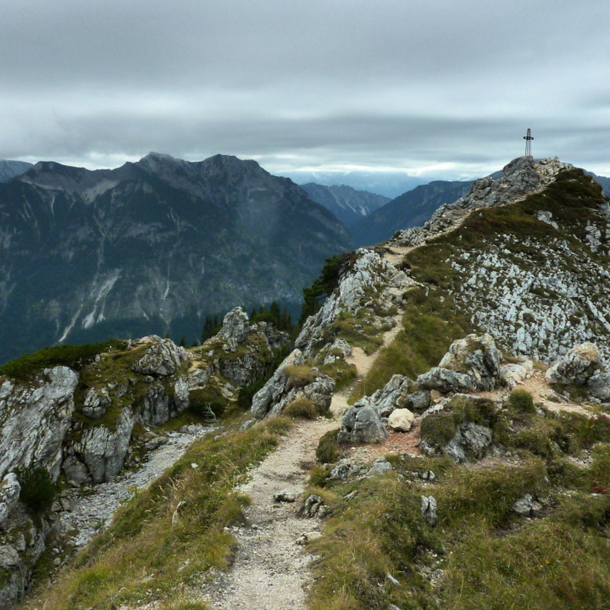
Hiking around Saulgrub
MTB Trails around Saulgrub
Cycling around Saulgrub
Road Cycling Routes around Saulgrub

Gravel biking around Saulgrub
Running Trails around Saulgrub


Tips from the Community

The Hörnlealm is located at 1,431 meters in the Ammergau Alps between the Vorderes Hörnle and Hinteres Hörnle. The restaurant offers typical alpine pasture food and drinks, including meals. Special highlights include homemade cottage cheese, buttermilk, and a daily homemade cake. The pasture is a 20-minute walk from the Hörnle cable car mountain station and a 1.5-hour walk from the Chapel Church in Unterammergau. (https://www.ammergauer-alpen.de/poi/hoernle-alm )
0
0
The Hörnle consists of three peaks: Vorderes Hörnle (1484 m), Mittleres Hörnle (1496 m), and Hinteres Hörnle (1548 m). The Hörnle is an attractive hiking destination that can be reached on foot or by cable car. The three peaks of the Hörnle offer beautiful viewpoints to the Tannheimer Mountains, the Wetterstein and Karwendel, as well as to the Alpine foothills with Ammersee, Starnberger See, and Staffelsee, despite their relatively low altitude. The Vordere Hörnle (1,484 m), Mittlere Hörnle (1,496 m), and Hintere Hörnle (1,548 m) are each about a 30-minute walk from each other and are excellently suited for a circular tour with a stop at the Hörndlhütte in both summer and winter.
6
1

Wonderful up here. Great view of the mountains
1
1

Normal hiking equipment is sufficient
2
0

If the fog isn't wafting around...
1
0

The path to this point is not maintained and is therefore not recommended; safe walking cannot be guaranteed.
2
0
The path to this point is not maintained and is therefore not recommended; safe walking cannot be guaranteed.
1
0

Completely crowded when the sun is shining. Loud, lots of people.
2
0
Frequently Asked Questions
How many mountaineering routes can I explore around Saulgrub?
Saulgrub offers a comprehensive network of paths with over 140 mountaineering routes. This includes a wide range of options, from moderate ascents to more challenging summit routes, catering to various skill levels.
What is the general difficulty level of mountaineering routes in Saulgrub?
The routes around Saulgrub offer a diverse range of difficulties. You'll find approximately 50 moderate routes, perfect for those seeking a balanced challenge, and nearly 100 difficult routes for experienced mountaineers. There are also a few easier options available.
What do other mountaineers appreciate most about the routes in Saulgrub?
The komoot community highly rates the mountaineering routes in Saulgrub, with an average score of 4.7 stars from over 1,100 reviews. Mountaineers often praise the spectacular panoramas, breathtaking views, and the diverse terrain that includes alpine peaks, dense spruce forests, and wild river valleys.
Are there any beginner-friendly mountaineering routes in Saulgrub?
While many routes are moderate to difficult, there are a few easier options available for those new to mountaineering or looking for a less strenuous experience. These routes often provide a gentle introduction to the region's beautiful landscapes.
Are there any circular mountaineering routes in Saulgrub?
Yes, Saulgrub features several circular routes that allow you to start and end in the same location. For example, the Hörnlehütte – Zeitberg Viewpoint loop from Saulgrub (VGem) is a moderate 3.3-mile (5.3 km) path, and the Zeitberg Viewpoint – Hörnlehütte loop from Saulgrub (VGem) is a 4.3-mile (7.0 km) trail, both offering scenic loops.
What natural features and landmarks can I see along the mountaineering routes?
The region is rich in natural beauty. You can explore the Ammer River, one of Germany's last wild rivers, and discover Saulgrub's high moor and orchid meadows. Notable landmarks include the Teufelstättkopf Summit Cross, offering panoramic views, and the Vorderes Hörnle. The Ammerschlucht (Ammer Gorge) and the Wetzsteinrücken are also natural jewels worth exploring.
Are there any specific viewpoints or summits worth seeking out?
Absolutely. The Teufelstättkopf Summit Cross is a popular attraction known for its impressive panoramic views. The Hinteres Hörnle summit also offers scenic vistas, including Lake Staffelsee and, on clear days, even Lake Starnberg. Don't miss the Laber Summit Viewpoint for another stunning perspective.
Are there any family-friendly mountaineering options in Saulgrub?
While many routes are challenging, some areas like the Schleifmühl Gorge offer accessible outdoor experiences with paths and wooden walkways, which can be suitable for families. For specific family-friendly mountaineering routes, look for shorter, less steep trails, often found around the base of the mountains or near accessible attractions like the Buchenberg Alm.
Can I bring my dog on the mountaineering trails in Saulgrub?
Many trails in the Ammergau Alps are dog-friendly, but it's always advisable to check local regulations for specific routes or protected areas. Ensure your dog is well-behaved, kept on a leash where required, and that you carry waste bags. Some areas, like the Hinteres Hörnle, are pastures where cows graze, so extra caution is needed.
What is the best season for mountaineering in Saulgrub?
The best season for mountaineering in Saulgrub is typically from late spring to early autumn (May to October), when the weather is generally stable and trails are clear of snow. Summer offers warmer temperatures and longer daylight hours, while early autumn provides vibrant foliage. Always check current weather and trail conditions before heading out.
Are there any huts or cafes along the mountaineering routes?
Yes, you'll find options like the Hörnlehütte, which is accessible via routes such as the Hörnlehütte – Zeitberg Viewpoint loop from Saulgrub (VGem). The Buchenberg Alm is another popular spot, accessible by chairlift or foot, offering fantastic panoramic views and refreshments. These huts provide opportunities for a break and a meal during your tour.
Are there any lakes or water features near the mountaineering routes?
Yes, the region is home to beautiful water features. The Ammer River, one of Germany's last wild rivers, flows through the area, and the Ammerschlucht (Ammer Gorge) is a notable natural jewel. You can also find Lake Staffelsee and the Lobentalbach Reservoir nearby, offering scenic views and opportunities for relaxation.
Is public transport available to reach the trailheads in Saulgrub?
Saulgrub is generally well-connected, and public transport options are available to reach various starting points for hikes. It's recommended to check local bus or train schedules for specific trailheads, especially if you plan to access routes further afield from the main village.
Most popular routes around Saulgrub
Most popular attractions around Saulgrub

Get inspired with the komoot mobile app


Explore more
Browse the best Mountain Hikes & Routes in other regions.
