The best walks and hikes around Ballyedock Lower
4.6
(38)
326
hikers
7
hikes
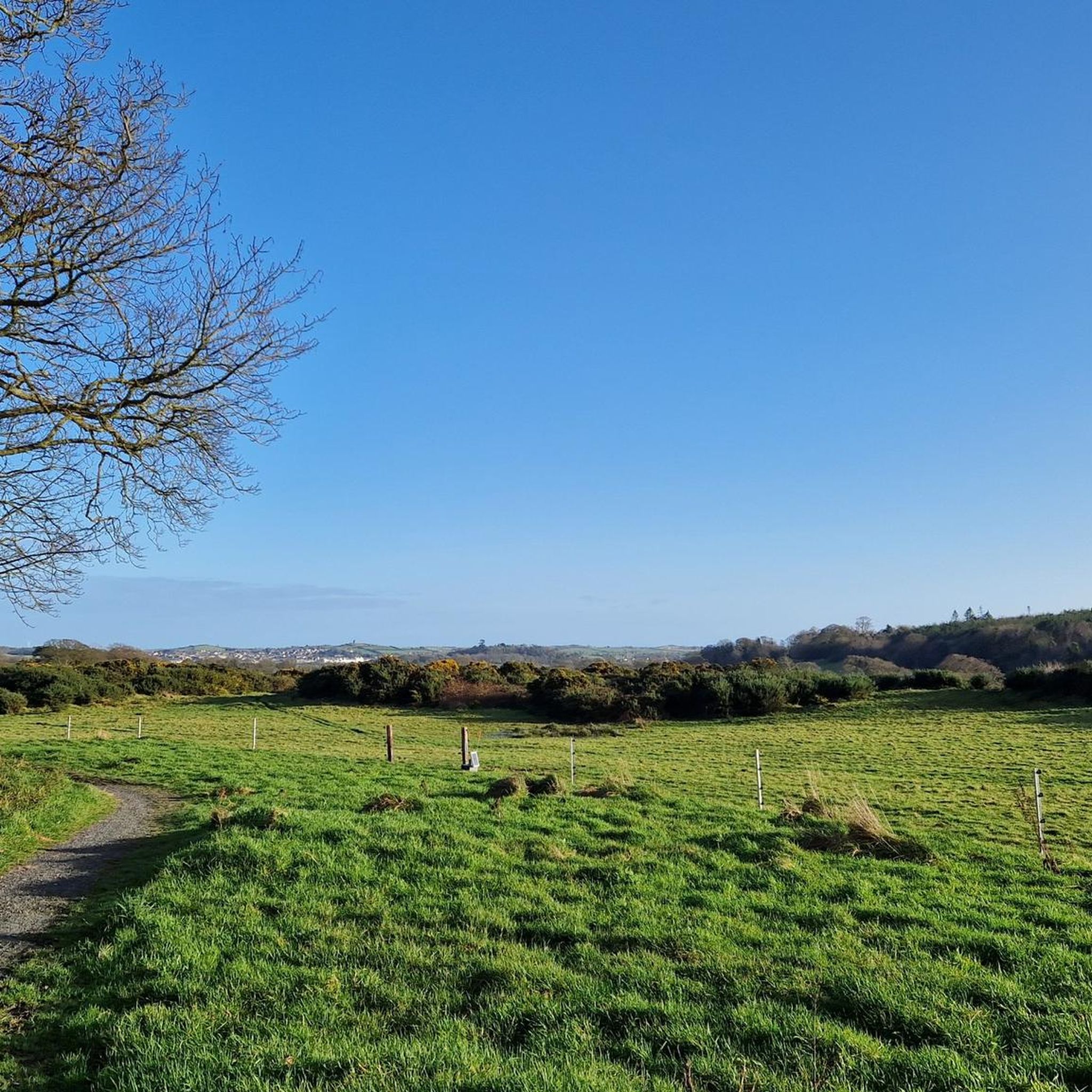
Hiking around Ballyedock Lower offers access to the diverse landscapes of County Down, Northern Ireland. The region is characterized by its proximity to the coast, providing opportunities for coastal walks, and features rolling hills and areas of natural beauty. While specific mountainous terrain is not prominent directly within Ballyedock Lower, the wider area of County Down includes varied natural features suitable for outdoor exploration.
Best hiking trails around Ballyedock Lower
- The most popular hiking route is Ballyhornan to St Patrick's…
Last updated: October 14, 2026
4.0
(1)
20
hikers
Moderate hike. Good fitness required. Easily-accessible paths. Suitable for all skill levels.
3.0
(1)
1
hikers
11.8km
03:09
140m
140m
Moderate hike. Good fitness required. Mostly accessible paths. Sure-footedness required.

5.0
(1)
14
hikers
5.12km
01:18
10m
10m
Easy hike. Great for any fitness level. Easily-accessible paths. Suitable for all skill levels.
5.0
(1)
7
hikers
6.54km
01:41
30m
30m
Easy hike. Great for any fitness level. Easily-accessible paths. Suitable for all skill levels.
3
hikers
10.1km
02:37
60m
60m
Moderate hike. Good fitness required. Easily-accessible paths. Suitable for all skill levels.
Get access to more routes and recommendations from other explorers.
Already have an account?
Our route recommendations are based on thousands of hikes, rides, and runs completed by other people on komoot.
Start today with a free account
Your next adventure awaits.
Popular around Ballyedock Lower

Tips from the Community

Unfortunately the path was now impassable... swampy and impassable, so we turned back.
0
0

The vast coastline stretches out endlessly before you, and the panorama with the majestic Mourne Hills in the background creates a scene that is hard to put into words. The gentle waves touching the sand and the silence of the surroundings make you feel the vastness and freedom of this place.
1
0

Portnacoo is a small cove with a raised beach found along the Ballyhornan to Sheeplands path in Northern Ireland. It's a lovely spot to stop and have some lunch, or you could even brave a swim.
2
0
St Patrick's Well stands on a seashore near the townlands of Ardtole and Sheepland East on the Northern Ireland coast. The well is said to have healing properties and has been an ancient site of pilgrimage for many years.
0
0

Lough Money, nestled in County Antrim, is a picturesque freshwater lake. Surrounded by lush greenery and offering tranquillity, it's a favoured spot for fishing, picnics, and nature enthusiasts.
1
0

Beautiful views across the bay to the Mourne Hills AONB from the fine sandy beach.
2
0

Wikipedia (Saint John's Point, County Down, 2022-09-25): https://en.m.wikipedia.org/wiki/Saint_John%27s_Point,_County_Down Tripadvisor (St. John's Point Lighthouse, 2022-09-25): https://www.tripadvisor.com/Attraction_Review-g6913948-d12794915-Reviews-St_John_s_Point_Lighthouse-Killough_County_Down_Northern_Ireland.html Commissioners of Irish Lights (St John’s Point (Co Down), 2022-09-25): https://www.irishlights.ie/tourism/our-lighthouses/st-john%E2%80%99s-point-(down).aspx YouTube (Drone Video, RODPIKER DRONES UK, 2022-09-25): https://www.youtube.com/watch?v=5oF5yZPc_Q4
2
0
Frequently Asked Questions
How many hiking trails are available around Ballyedock Lower?
There are 8 hiking routes detailed in this guide for the Ballyedock Lower area, offering a variety of experiences from coastal paths to countryside loops.
Are there any easy hiking options in Ballyedock Lower?
Yes, Ballyedock Lower offers 4 easy hiking routes. For example, the Hiking loop from Killard National Nature Reserve is a gentle 3.2-mile trail, and the Hiking loop from Ballycam ASSI is another accessible option, both suitable for a relaxed stroll.
Can I find circular walks in the area?
Yes, several routes around Ballyedock Lower are circular. Popular options include the Lough Money loop from St. Patrick's Road, which circles the lake, and the Hiking loop from Killard National Nature Reserve. There's also the Wooden Steps to the Shore loop from Killough, offering coastal views.
What kind of scenery can I expect on hikes around Ballyedock Lower?
Hikes around Ballyedock Lower feature diverse scenery, including coastal paths with sea views, serene nature reserves, and rolling countryside. The region's proximity to the coast means many routes offer refreshing sea air and open vistas.
Are the trails around Ballyedock Lower suitable for families with children?
Yes, with 4 easy routes available, many trails are suitable for families. Options like the Hiking loop from Killard National Nature Reserve are shorter and have minimal elevation gain, making them ideal for walks with children.
Are dogs allowed on the hiking trails near Ballyedock Lower?
Generally, dogs are welcome on many public footpaths and trails in Ireland, but it's always best to keep them on a lead, especially in nature reserves or areas with livestock. Check local signage for specific restrictions on individual routes.
What are some interesting places to see or landmarks near the hiking routes?
While hiking, you can explore several notable landmarks nearby. These include the historic Castle Ward Tower (a filming location for Winterfell), the picturesque St. John's Point Lighthouse, and the ancient Audley's Castle. These attractions offer a glimpse into the region's history and natural beauty.
Is there parking available at the trailheads?
Parking availability varies by trailhead. For routes like those near Castle Ward, designated parking areas such as Castle Ward Shore Car Park are available. For other routes, roadside parking might be an option, but it's always advisable to check specific route details before you go.
What is the best time of year to go hiking in Ballyedock Lower?
Ireland's weather can be unpredictable, but spring (April-May) and autumn (September-October) often offer pleasant temperatures and beautiful scenery, with vibrant wildflowers in spring and rich colors in autumn. Summer is also popular, though trails can be busier. Winter hiking is possible but requires appropriate gear for potentially wet and windy conditions.
What do other hikers say about the trails in Ballyedock Lower?
The trails around Ballyedock Lower are highly rated by the komoot community, with an average score of 4.8 stars from nearly 30 reviews. Hikers often praise the diverse terrain, from coastal paths to tranquil nature reserves, and the well-maintained routes.
Are there any coastal walks available in Ballyedock Lower?
Yes, the region is known for its coastal access. The Ballyhornan to St Patrick's Well via Lecale Way is a prime example, offering scenic coastal views as it follows a section of the Lecale Way.
What is the general difficulty level of hikes in this area?
The hikes around Ballyedock Lower cater to various abilities. The guide includes 4 easy routes and 4 moderate routes, meaning there are options for both casual strolls and more extended, slightly challenging walks. There are no difficult routes listed in this guide.
Most popular routes around Ballyedock Lower
Most popular attractions around Ballyedock Lower

Get inspired with the komoot mobile app


Explore more
Browse the best Hikes in other regions.
