The best walks and hikes around Island Henry
4.7
(3)
44
hikers
3
hikes
Hiking around Island Henry explores the coastal and riverine landscapes of County Down in Northern Ireland. The region is characterized by paths along the Quoile River and sections of the Lecale Way, offering generally flat terrain with minimal elevation gain. These routes provide a mix of waterside and rural scenery.
Best hiking trails around Island Henry
- The most popular hiking route is Ballyhornan to St Patrick's Well via Lecale Way — Strangford & Lecale, a 5.9 mile (9.6 km)…
Last updated: October 14, 2026
4.0
(1)
20
hikers
Embark on a moderate hike along the Ballyhornan to St Patrick's Well section of the Lecale Way, covering 6.0 miles (9.6 km) with an elevation gain of 126 feet (38…
5.0
(1)
7
hikers
6.54km
01:41
30m
30m
Easy hike. Great for any fitness level. Easily-accessible paths. Suitable for all skill levels.

6
hikers
9.28km
02:22
30m
30m
Moderate hike. Good fitness required. Easily-accessible paths. Suitable for all skill levels.
4
hikers
5.06km
01:19
40m
40m
Easy hike. Great for any fitness level. Easily-accessible paths. Suitable for all skill levels.
3
hikers
10.1km
02:37
60m
60m
Moderate hike. Good fitness required. Easily-accessible paths. Suitable for all skill levels.
Our route recommendations are based on thousands of hikes, rides, and runs completed by other people on komoot.
Start today with a free account
Your next adventure awaits.
Popular around Island Henry
Tips from the Community

Unfortunately the path was now impassable... swampy and impassable, so we turned back.
0
0

The vast coastline stretches out endlessly before you, and the panorama with the majestic Mourne Hills in the background creates a scene that is hard to put into words. The gentle waves touching the sand and the silence of the surroundings make you feel the vastness and freedom of this place.
1
0

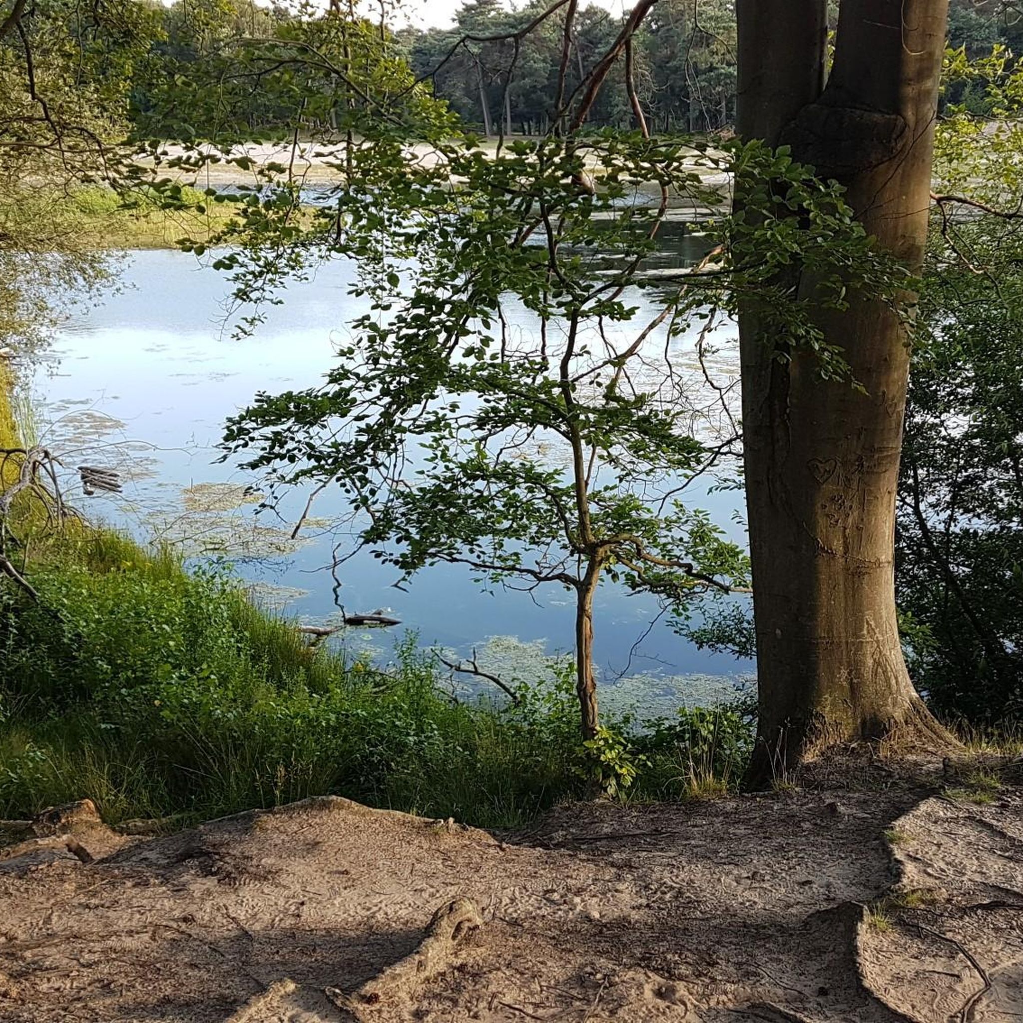
Here is a great vantage point to enjoy the best of the sensational River Quoile. Enjoy beautiful scenery of rounded hills and marshes as you pass the tranquil riverside and keep your eyes peeled for local bird and wildlife that are often seeing relaxing on the water.
2
0
Portnacoo is a small cove with a raised beach found along the Ballyhornan to Sheeplands path in Northern Ireland. It's a lovely spot to stop and have some lunch, or you could even brave a swim.
2
0
St Patrick's Well stands on a seashore near the townlands of Ardtole and Sheepland East on the Northern Ireland coast. The well is said to have healing properties and has been an ancient site of pilgrimage for many years.
0
0
Quoile Bridge is a six arch stone bridge that runs over the River Quoile. The bridge was built around 1680 and may be one of the oldest bridges in County Down!
3
0
Here is a great vantage point to enjoy the best of the sensational River Quoile. Enjoy beautiful scenery of rounded hills and marshes as you pass the tranquil riverside and keep your eyes peeled for local bird and wildlife that is often seeing relaxing on the water.
2
0

Beautiful views across the bay to the Mourne Hills AONB from the fine sandy beach.
2
0
Frequently Asked Questions
Are the hiking trails around Island Henry suitable for families with children?
Yes, the area offers several family-friendly options. The terrain is generally flat with minimal elevation gain, making it accessible for most ages. For a shorter, easier walk, consider the Quoile River – Quoile Bridge loop from Saul, which is a manageable 4.2 km.
Can I bring my dog on the trails in this region?
Dogs are generally welcome on the trails around Island Henry, but they should be kept on a leash, especially on paths that cross farmland or sensitive wildlife habitats like the Lecale Way. Always be mindful of livestock and local signage.
Are there any circular or loop hikes available?
Yes, there are several loop trails so you can end your walk where you started. A great option is the Quoile Bridge – Quoile River loop from Saul, a moderate 9.2 km walk that follows the riverbanks. For an easier loop, try the Hiking loop from Killough.
What kind of scenery can I expect on hikes around Island Henry?
The hikes in this area are known for their beautiful waterside scenery. You can expect to walk along the tranquil banks of the Quoile River and explore stunning sections of the County Down coastline. The routes offer a pleasant mix of rural landscapes and coastal views.
How difficult are the hikes in the Island Henry area?
Most hikes in this region are rated as easy to moderate. The terrain is predominantly flat, making it accessible for hikers of various fitness levels. Routes like the Wooden Steps to the Shore loop from Killough are considered moderate, while others provide a more gentle walking experience.
What do other hikers think of the trails around Island Henry?
The trails are highly regarded by the komoot community, with an average rating of 4.8 stars. Hikers often praise the peaceful atmosphere and the scenic views along the Quoile River and the coast.
Is it possible to hike a section of the Lecale Way?
Yes, you can experience a part of this well-known coastal path. The Ballyhornan to St Patrick's Well route follows a 9.6 km section of the Lecale Way, offering fantastic coastal scenery.
Are the trails well-suited for a beginner hiker?
Absolutely. The region's flat terrain and clearly marked paths make it an excellent choice for beginners. The routes are generally not technically demanding, allowing new hikers to enjoy the scenery without needing advanced skills.
What is the typical length and duration of the hikes here?
The hikes vary in length, typically ranging from about 4 km to 10 km. A shorter walk might take around an hour, while longer routes, such as the trails along the Lecale Way or the Quoile River, can take between 2 to 3 hours to complete.
Where can I find a trail that follows a river?
The paths along the Quoile River are perfect for a riverside walk. The trails starting from Saul, in particular, follow the riverbanks and provide a serene hiking experience with lovely water views.
Most popular routes around Island Henry
Most popular attractions around Island Henry

Get inspired with the komoot mobile app


Explore more
Browse the best Hikes in other regions.
