The best mountain hikes around Oberwössen
4.7
(15)
214
hikers
14
hikes
Mountaineering around Oberwössen offers diverse routes within the Bavarian Alps, characterized by majestic peaks and picturesque alpine pastures. The region features prominent summits like Hochgern and Kleiner Rechenberg, alongside the rolling hills and green meadows of the Achental Valley. This landscape provides varied terrain, from challenging alpine ascents to routes traversing high-altitude pastures.
Best mountaineering routes around Oberwössen
- The most popular mountaineering route is Hochgernhaus – Hochgern summit cross loop from Unterwössen, a 9.9 miles (15.9 km) trail that…
Last updated: July 5, 2026
5.0
(5)
45
hikers
15.9km
06:45
1,140m
1,140m
Hard mountaineering route. Very good fitness required. Sure-footedness, sturdy shoes and alpine experience required.
4.0
(2)
28
hikers
8.40km
03:31
630m
630m
Moderate mountaineering route. Good fitness required. Mostly accessible paths. Sure-footedness required.

Sign up for free
11
hikers
6.18km
03:03
520m
520m
Hard mountaineering route. Good fitness required. Sure-footedness, sturdy shoes and alpine experience required.
5.0
(1)
14
hikers
13.7km
04:55
740m
740m
Hard mountaineering route. Good fitness required. Sure-footedness, sturdy shoes and alpine experience required.
11
hikers
5.77km
02:20
390m
390m
Moderate mountaineering route. Good fitness required. Mostly accessible paths. Sure-footedness required.
Get access to more routes and recommendations from other explorers.
Sign up for free
Already have an account?
Our route recommendations are based on thousands of hikes, rides, and runs completed by other people on komoot.
Start today with a free account
Your next adventure awaits.
Login or Signup
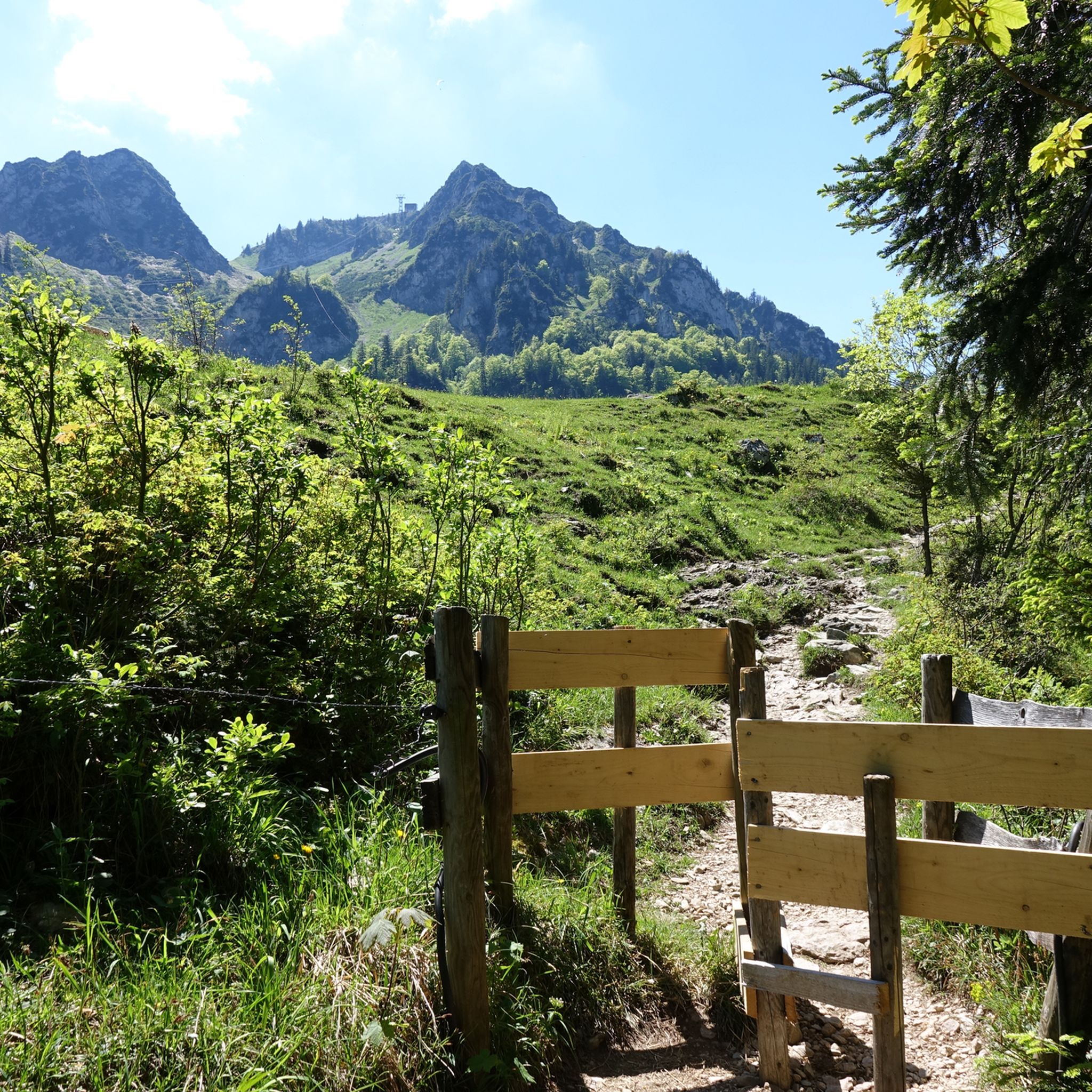
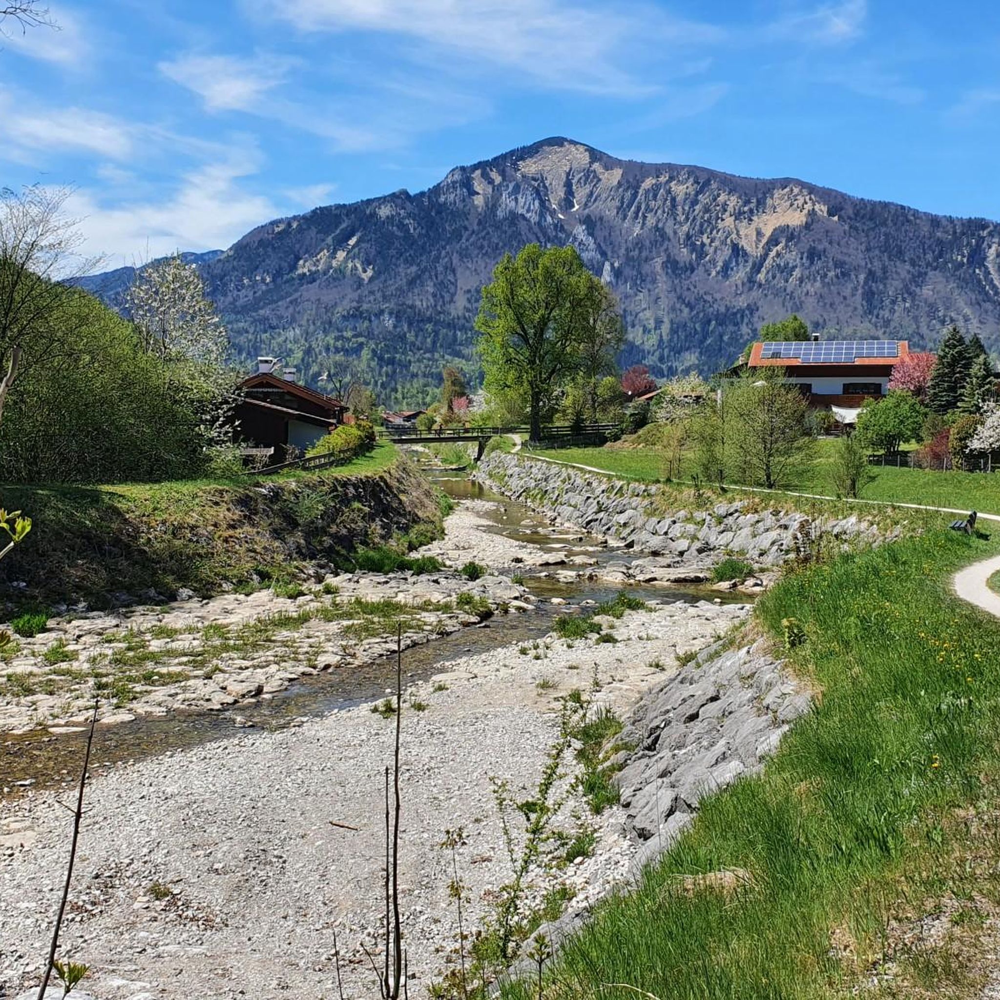
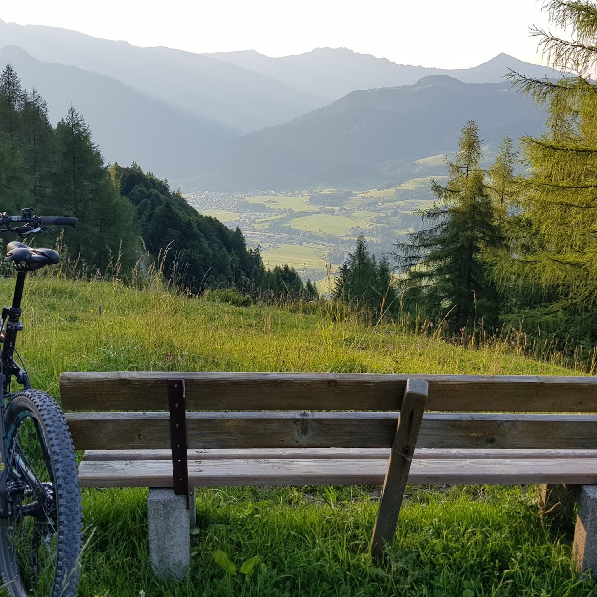
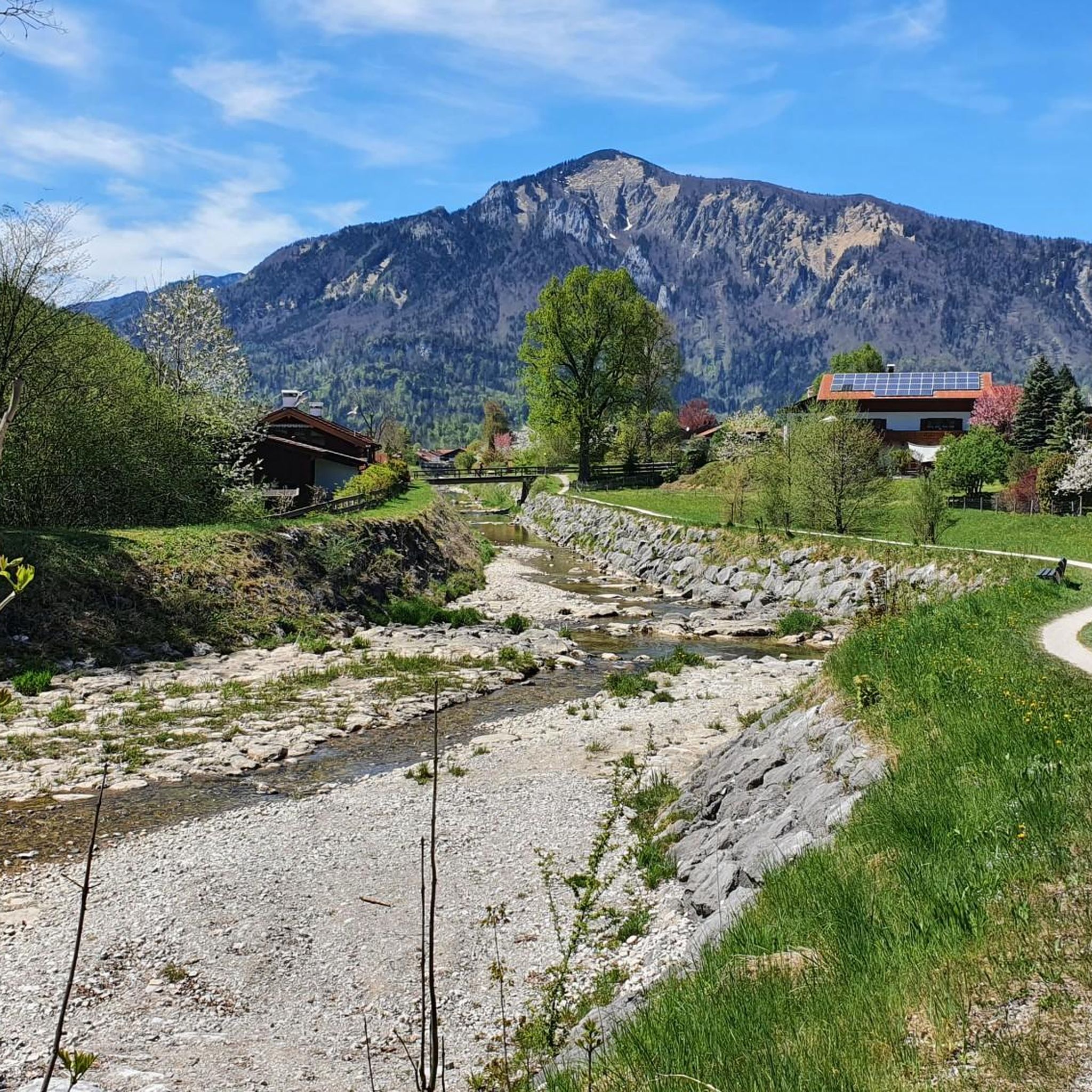

Tips from the Community


This wayside shrine is somewhat hidden on the way to the Agergschwendalm.
0
0

Sit down and just enjoy
0
0


DAV carpooling bench – no one gets stuck with us. Get flexible from the mountain to the train station with the DAV carpooling bench.
1
0


Frequently Asked Questions
What is the general difficulty level of mountaineering routes around Oberwössen?
Mountaineering routes in Oberwössen are generally considered moderate to difficult. There are no easy routes available, with 5 moderate and 9 difficult trails listed in this guide. These routes often involve significant elevation gain and require good fitness and sure-footedness.
Are there any family-friendly mountaineering options in Oberwössen?
While there are no 'easy' mountaineering routes in Oberwössen, some of the moderate trails might be suitable for families with older, experienced children who are accustomed to mountain hiking. For example, the Rechenbergalm – Geigelstein View loop from Unterwössen offers a moderate challenge through alpine pastures. Always assess the fitness and experience of all family members before embarking on a tour.
What kind of views can I expect on the mountaineering routes?
The routes around Oberwössen offer breathtaking panoramic views, especially from prominent summits like Hochgern. You can expect expansive vistas over the Chiemsee and the wider Chiemgau Alpine panorama. Trails also traverse picturesque alpine pastures and the scenic Achental Valley, providing diverse natural beauty.
Are there any circular mountaineering routes available?
Yes, many of the mountaineering routes in Oberwössen are circular, allowing you to start and end at the same point. Examples include the challenging Hochgernhaus – Hochgern summit cross loop from Unterwössen and the moderate Jochbergalm – Trail Along the Kaltenbach loop from Unterwössen.
What natural features or landmarks can I see along the mountaineering trails?
Mountaineering routes in Oberwössen often lead past impressive natural features and landmarks. You might encounter the Entenloch Gorge Suspension Bridge, offering unique views, or reach the Hochfelln Summit Cross. The region is also dotted with picturesque alpine pastures like Rechenbergalm and Jochbergalm, which provide scenic resting points.
What do other mountaineers say about the routes in Oberwössen?
The mountaineering routes in Oberwössen are highly regarded by the komoot community, with an average rating of 4.7 out of 5 stars from 14 reviews. Over 200 mountaineers have explored the varied terrain, often praising the challenging ascents and rewarding panoramic views.
Are there any huts or places to rest and eat along the trails?
Yes, the landscape is dotted with picturesque alpine pastures and huts that are often integrated into hiking and mountaineering trails. These can provide scenic resting points and sometimes offer food and refreshments. Notable huts include the Steinlingalm Alpine Hut and Hefteralm.
What is the best time of year for mountaineering in Oberwössen?
The best time for mountaineering in Oberwössen is typically from late spring to early autumn (May to October), when the weather is generally stable, and trails are free of snow. However, the region also offers winter activities like ski touring and snowshoeing around Hochgern for those with appropriate experience and equipment.
Are there any specific challenging routes for experienced mountaineers?
Absolutely. For experienced mountaineers seeking a challenge, routes like the Rechenbergalm – Kleiner Rechenberg Summit loop from Unterwössen offer significant ascents and alpine terrain. These routes require very good fitness, sure-footedness, sturdy shoes, and alpine experience.
Can I find wild swimming spots near the mountaineering routes?
While not directly on the high alpine routes, the nearby Wössner See offers a refreshing stop on warm days and is a tranquil spot for swimming and relaxing. It can be a pleasant addition to a day out in the region after completing a mountaineering tour.
Is parking available for mountaineering routes in Oberwössen?
Parking is generally available at common starting points for trails in the Oberwössen area, such as in Unterwössen or near popular alpine pastures. It's advisable to check specific route descriptions or local signage for designated parking areas before your trip.
Are there any routes that lead to a grotto or unique religious sites?
Yes, the Rechenbergalm – Marian Grotto loop from Unterwössen is an 8.3-mile trail that leads through alpine terrain and forest, including a visit to the Marian Grotto, offering a unique cultural element to your mountaineering experience.
Most popular routes around Oberwössen
Most popular attractions around Oberwössen

Get inspired with the komoot mobile app


Explore more
Browse the best Mountain Hikes & Routes in other regions.
