The best road cycling routes around Bradfield
4.6
(65)
2,451
riders
172
rides
Road cycling routes around Bradfield are situated within the Peak District National Park, characterized by rolling moorlands, verdant valleys, and a series of reservoirs. The terrain features consistent ascents and descents, providing varied cycling conditions. The area includes extensive moor and agricultural land, with notable features such as Damflask, Agden, Dale Dike, and Strines reservoirs. Bradfield's topography offers both physical challenges and elevated viewpoints.
Best road cycling routes around Bradfield
- The most popular road cycling route is Dovercourt Lighthouses –…
Last updated: July 9, 2026
5.0
(7)
80
riders
40.5km
01:42
250m
250m
Easy road ride. Great for any fitness level. Mostly well-paved surfaces and easy to ride.
21
riders
39.2km
01:41
230m
230m
Easy road ride. Great for any fitness level. Mostly well-paved surfaces and easy to ride.

Sign up for free
17
riders
44.4km
02:03
290m
290m
Moderate road ride. Good fitness required. Mostly well-paved surfaces and easy to ride.
34
riders
60.0km
02:33
250m
250m
Moderate road ride. Good fitness required. Mostly well-paved surfaces and easy to ride.
17
riders
44.1km
01:50
280m
280m
Easy road ride. Great for any fitness level. Mostly well-paved surfaces and easy to ride.
Get access to more routes and recommendations from other explorers.
Sign up for free
Already have an account?
Our route recommendations are based on thousands of hikes, rides, and runs completed by other people on komoot.
Start today with a free account
Your next adventure awaits.
Login or Signup
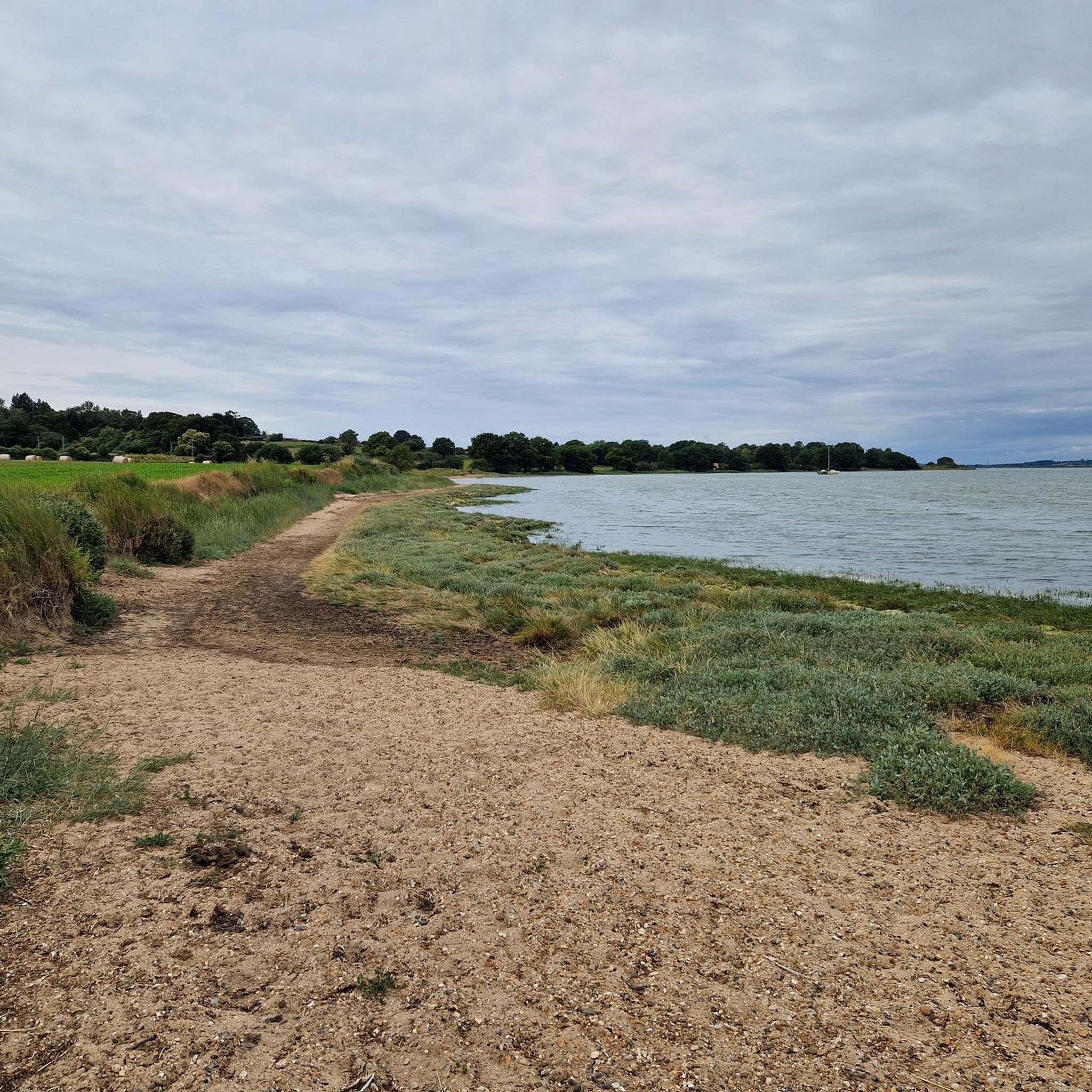
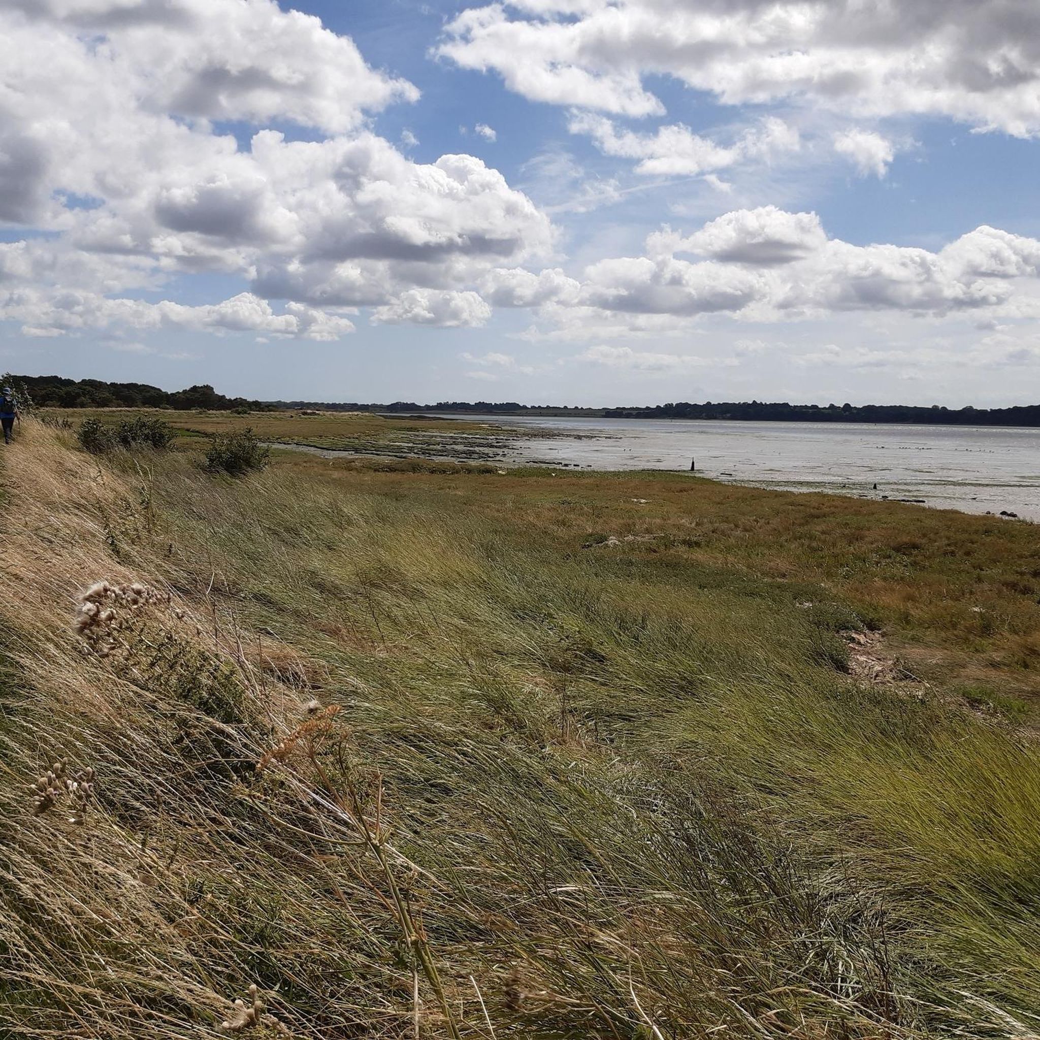
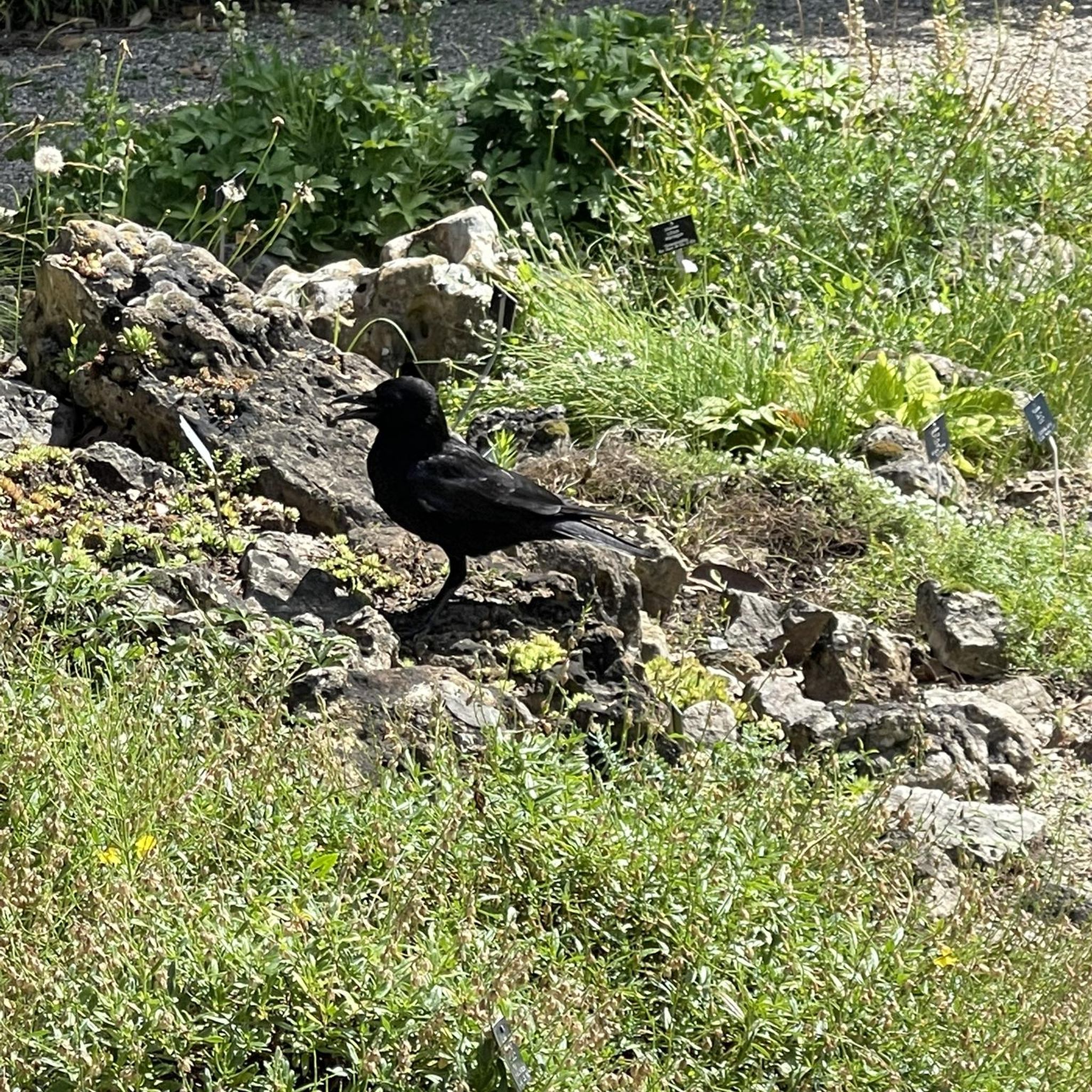
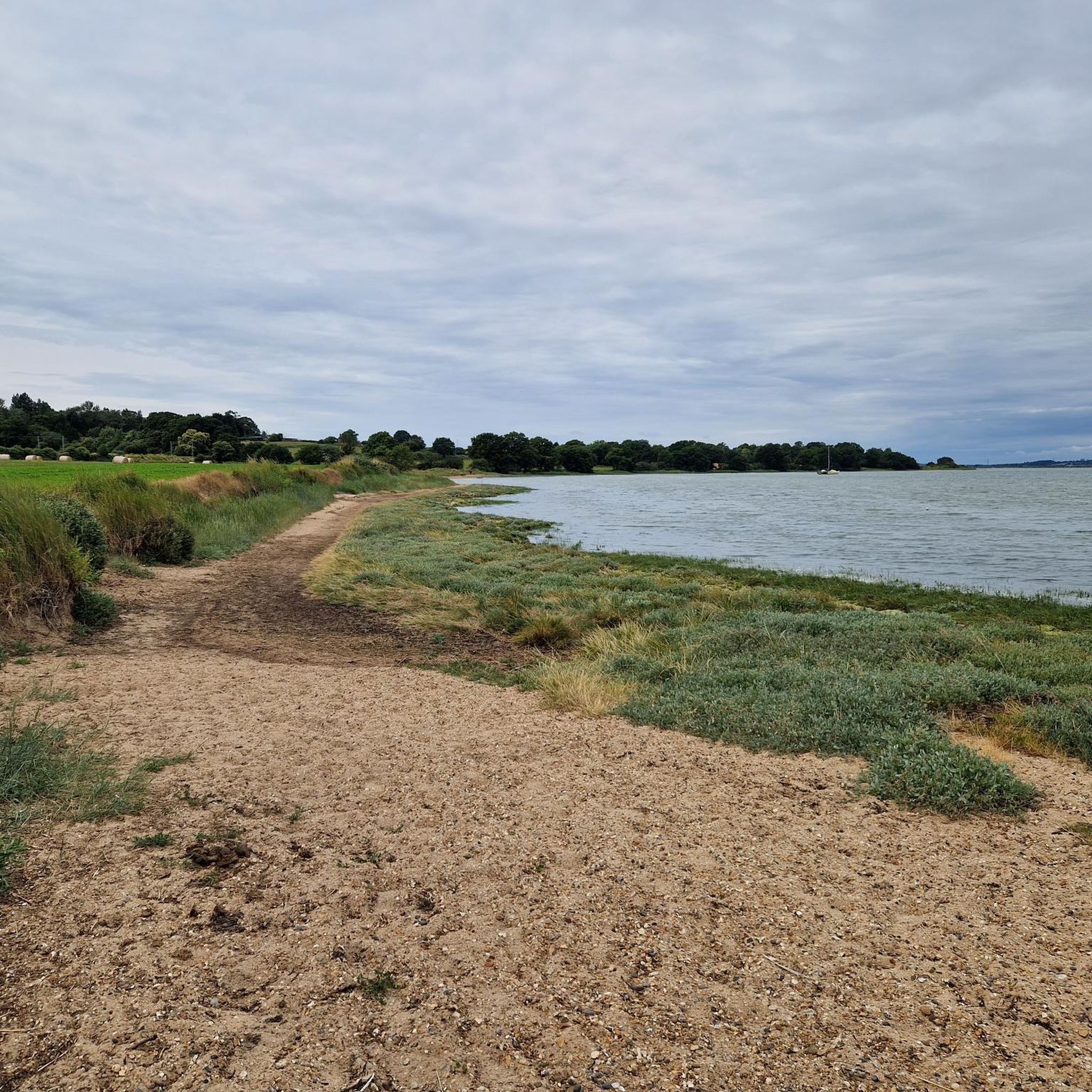
Tips from the Community


Good value food and camping. £10 a night for tent and 2 people.
0
0

At this corner you can explore for a location to eat something. Enough choice for everyone. nice as
0
0
Nice and easy route to cycle. Not much traffic. enough to explore.
0
0
Lemons Hill Bridge carries the road across the northern end of Alton water reservoir. It links the two parts of Tattingstone village.
0
0


Great views of...a random village street. There's a nice enough looking village pub I suppose.
0
0
A pair of restored Victorian lighthouses, now prominent landmarks along the beach.
0
0
Frequently Asked Questions
How many road cycling routes are available in Bradfield?
Bradfield offers a wide selection of road cycling routes, with over 170 options available. These routes cater to various skill levels, including 97 easy, 76 moderate, and 3 difficult trails.
What kind of terrain can I expect on road cycling routes in Bradfield?
Road cycling in Bradfield features varied terrain, from rolling moorlands and verdant valleys to picturesque reservoir views. The area is known for its consistent ascents and descents, providing both physical challenges and elevated viewpoints. While many roads have good surfaces, some routes can be quite hilly.
What makes road cycling in Bradfield unique or challenging?
Bradfield's road cycling is unique due to its location within the Peak District National Park and its history, including being part of the 2014 Tour de France. Cyclists can test their abilities on challenging climbs like the 'Côte de Bradfield', which features gradients over 20% in places, offering spectacular views as a reward.
Are there easy road cycling routes suitable for beginners in Bradfield?
Yes, Bradfield has numerous easy road cycling routes. For example, the Dedham Boathouse Restaurant – River Stour at Dedham loop from Mistley is an easy 42.3 km (26.3 miles) route with an elevation gain of 228 meters (748 feet), offering a pleasant ride through scenic landscapes.
Where can I find challenging road cycling routes in Bradfield?
For those seeking a challenge, Bradfield offers routes with significant climbs and elevation changes. The region's topography, including the famous 'Côte de Bradfield', provides demanding ascents. While specific difficult routes are fewer, the area's moderate routes often include substantial hills that can be challenging.
What natural features will I see along the road cycling routes?
You'll encounter stunning natural features such as the four reservoirs surrounding Low Bradfield: Damflask, Agden, Dale Dike, and Strines. Langsett Reservoir is also nearby. The routes traverse extensive moorlands, agricultural land, and the scenic Loxley Valley, all set within the beautiful Peak District National Park.
Are there any interesting landmarks or villages to explore near the cycling routes?
Absolutely. You can explore charming villages like High Bradfield, home to the Gothic Grade I listed Church of St Nicholas and the remains of a Norman motte and bailey castle at Bailey Hill. Low Bradfield offers a quintessential English village experience with its cricket pitch and the Flask End tea room. You might also pass by Willy Lott's Cottage or Flatford Granary.
Are there any circular road cycling routes in Bradfield?
Many road cycling routes in Bradfield are designed as loops, allowing you to start and end in the same location. An example is the The Bristol Arms – Shotley Pier and Marina loop from Wrabness, a moderate 44.4 km (27.6 miles) route that offers varied scenery.
What do other road cyclists enjoy the most about road cycling in Bradfield?
The komoot community highly rates road cycling in Bradfield, with an average score of 4.6 stars from over 60 reviews. Cyclists frequently praise the varied terrain, the picturesque reservoir views, and the challenging yet rewarding climbs that offer expansive vistas of the surrounding countryside.
Are there places to stop for refreshments along the road cycling routes?
Yes, you'll find opportunities for refreshments. Villages like Low Bradfield host tea rooms such as Flask End, and there are pubs and cafes along routes, particularly in the Loxley Valley. The Old Horns Inn in High Bradfield offers stunning views from its beer garden, and Our Cow Molly Farm is known for its artisanal ice cream.
Is Bradfield suitable for family-friendly road cycling?
While Bradfield's terrain can be hilly, there are easier, mostly paved routes that can be suitable for families. It's advisable to check the elevation profiles of specific routes to ensure they match your family's fitness level. The scenic reservoir paths, like those around Damflask, can offer more gentle options.
What is the best time of year for road cycling in Bradfield?
The best time for road cycling in Bradfield is generally during the warmer months, from spring through autumn, when weather conditions are more stable and the scenery is at its most vibrant. However, the region's beauty can be enjoyed year-round, with appropriate gear for cooler or wetter conditions.
Most popular attractions around Bradfield

Get inspired with the komoot mobile app


Explore more
Browse the best Road cycling routes in other regions.
