The best running trails around Stöttwang
4.5
(271)
3,413
runners
13
runs
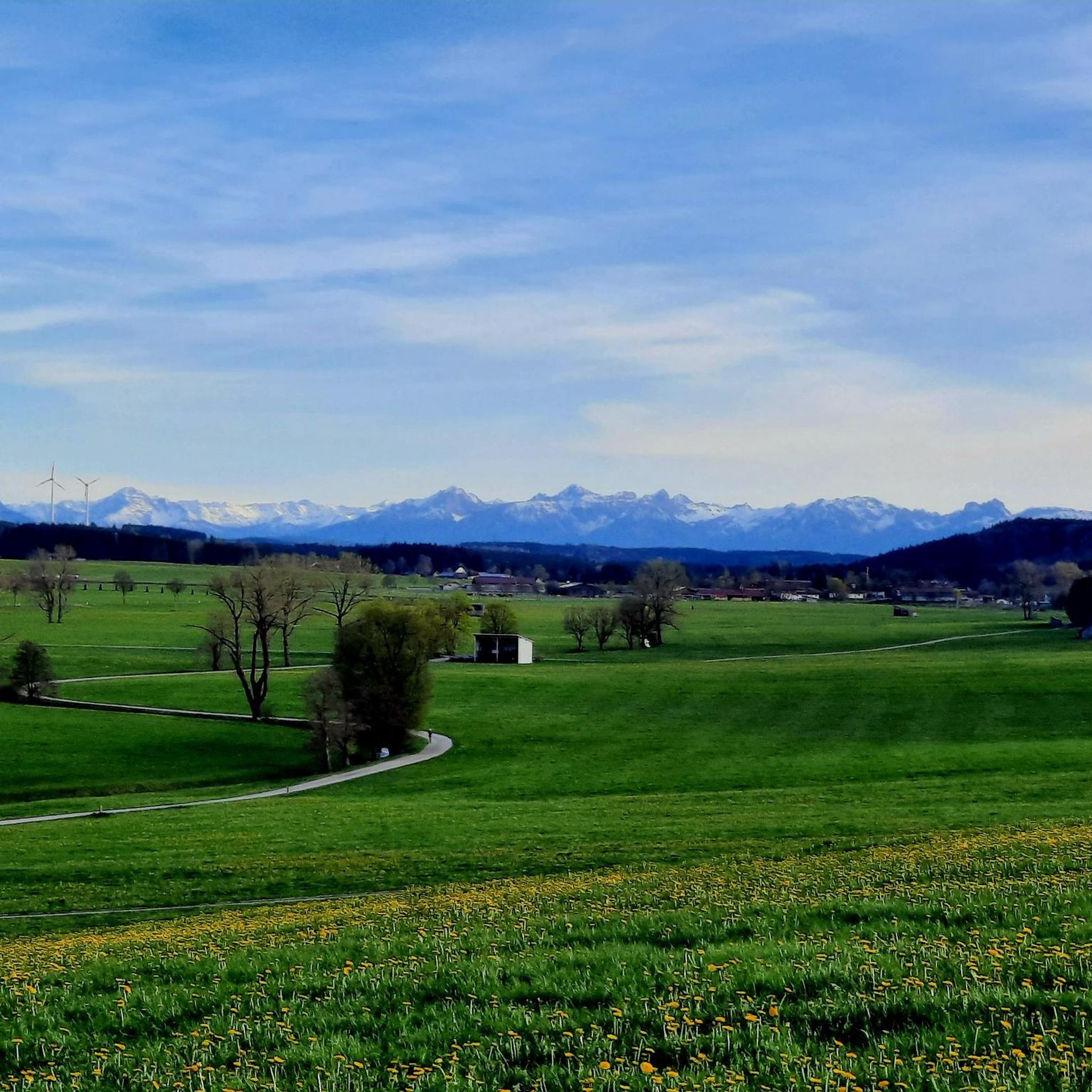
Jogging routes around Stöttwang traverse a diverse landscape at the foot of the Alps, characterized by rolling fields, green meadows, and small forests. The Gennach river winds through the region, offering scenic paths alongside its banks. This area in Ostallgäu provides varied terrain for running, from gentle village paths to routes with moderate elevation gain.
Best jogging routes around Stöttwang
- The most popular jogging route is Running loop from Stöttwang, a 3.3 miles (5.3 km) trail that takes about…
Last updated: June 27, 2026
5.0
(1)
6
runners
5.34km
00:34
20m
20m
Moderate run. Good fitness required. Mostly paved surfaces. Suitable for all skill levels.
5.0
(1)
5
runners
5.44km
00:35
30m
30m
Moderate run. Good fitness required. Mostly paved surfaces. Suitable for all skill levels.

Sign up for free
2
runners
9.06km
00:57
40m
50m
Moderate run. Good fitness required. Mostly paved surfaces. Suitable for all skill levels.
3
runners
7.52km
00:47
60m
60m
Moderate run. Good fitness required. Mostly paved surfaces. Suitable for all skill levels.
5.0
(1)
2
runners
12.6km
01:19
100m
110m
Moderate run. Good fitness required. Mostly paved surfaces. Suitable for all skill levels.
Get access to more routes and recommendations from other explorers.
Sign up for free
Already have an account?
Our route recommendations are based on thousands of hikes, rides, and runs completed by other people on komoot.
Start today with a free account
Your next adventure awaits.
Login or Signup
Tips from the Community

Public transport in the 21st century Do it yourself 🚴♂️🚴♂️🚴♂️
0
0

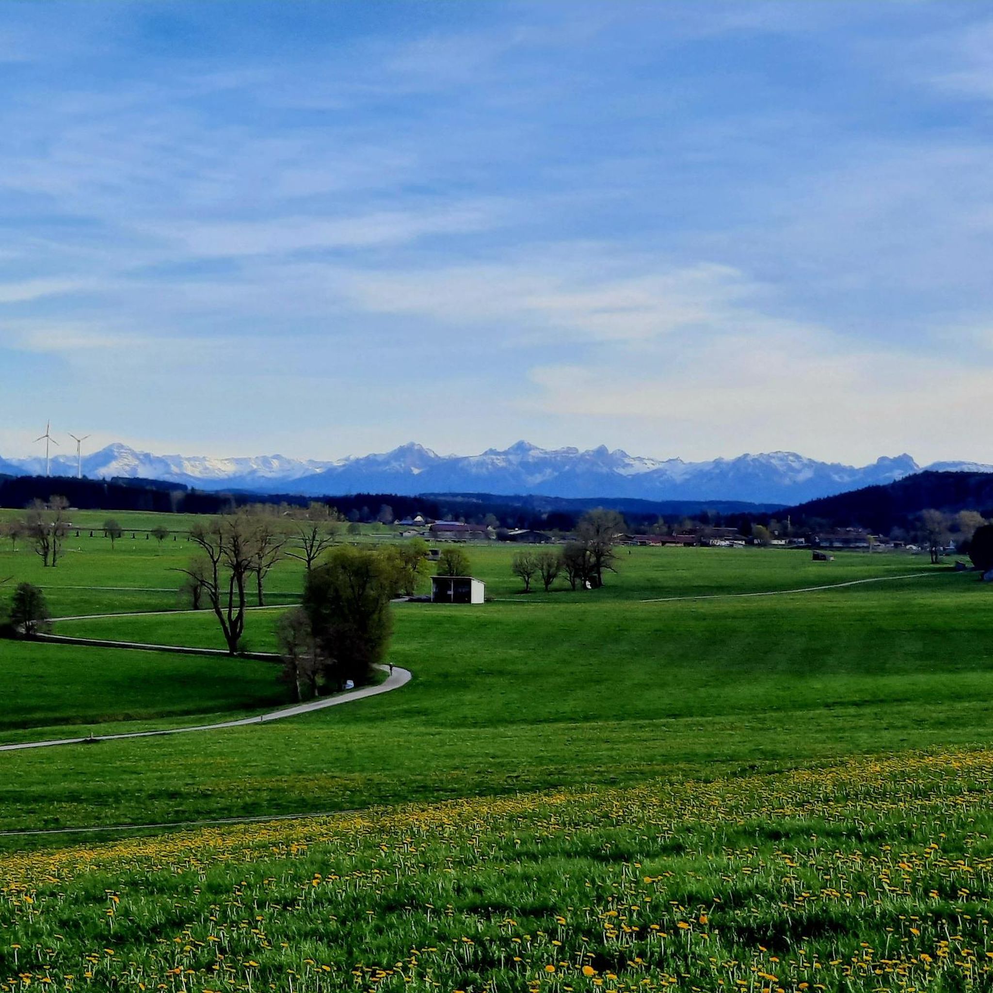
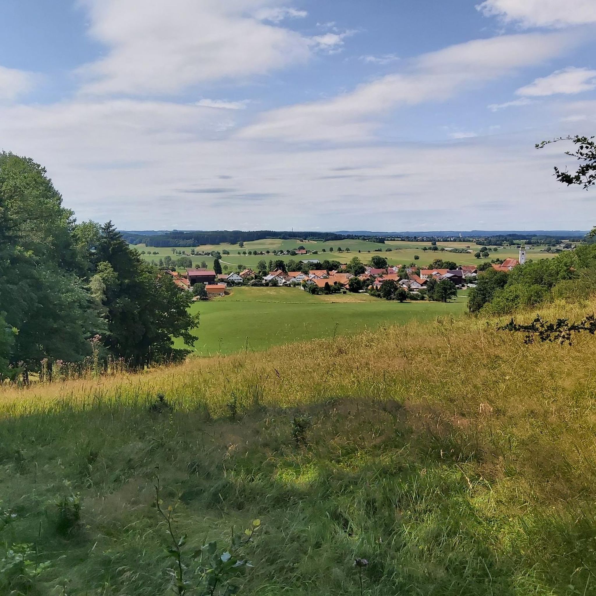
Beautiful route with attractive views
0
0
A very beautiful route where you can enjoy the views and nature along the way. Some spots are nicely equipped with rest benches.
0
0
Public transport in the 21st century DIY 🚴♀️
0
0

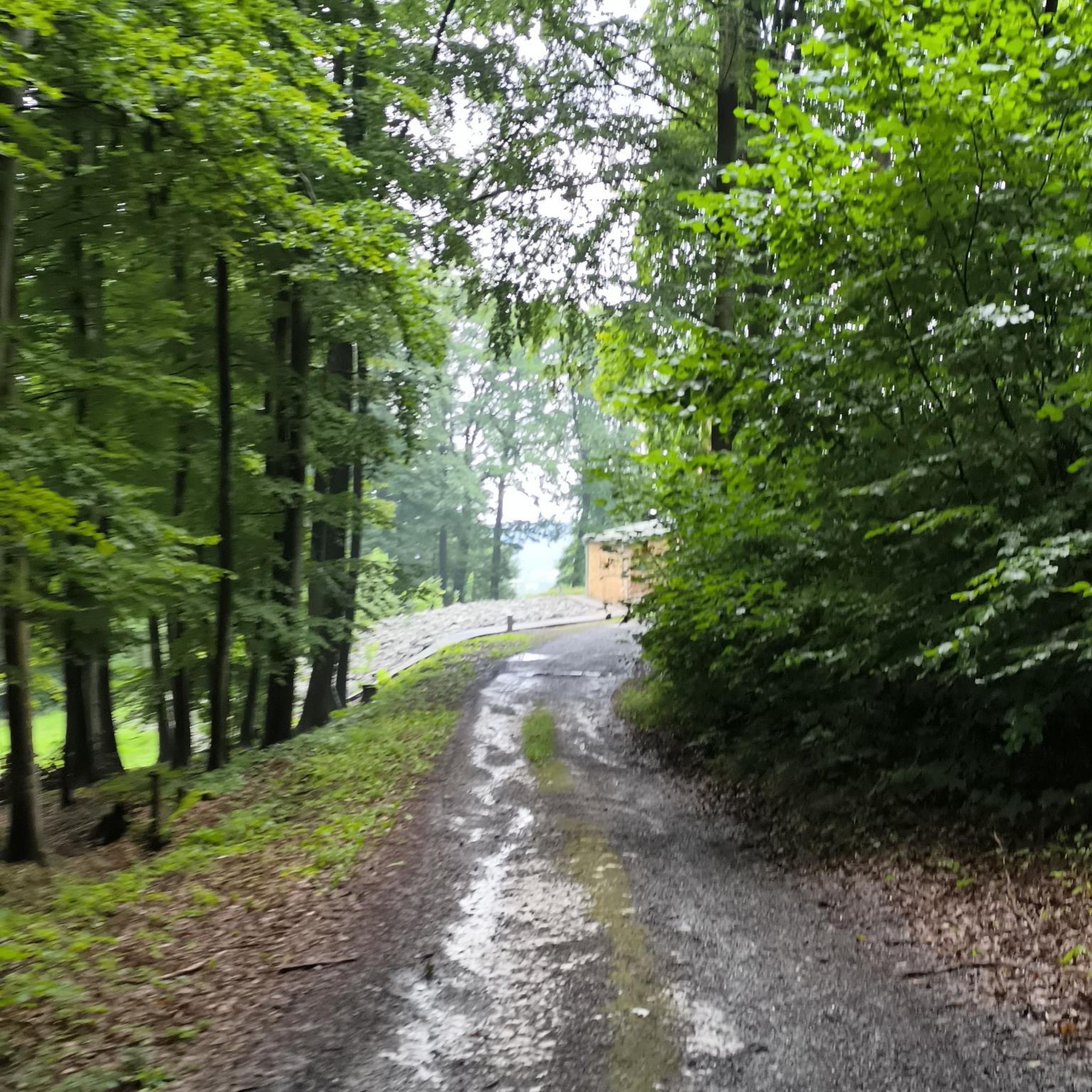
The old railway line Kaufbeuren - Schongau leads through the beautiful Allgäu landscape with little elevation change. Unfortunately, the tarmac ends in the Sachsenrieder Forest - and later the path on the railway embankment. (Unfortunately, it was not converted into a cycle path all the way to Schongau at the time). The path is used in many different ways. Walkers - including those with dogs, rollerbladers of all ages, sports and leisure cyclists - all come here. On weekends with good weather, it can be a little difficult for the fast cyclist.
0
0

A beautiful, flat, and straight cycle path where you can easily build up speed (or, of course, just cycle along at a leisurely pace).
1
0

There's someone here who sells ice cream and drinks "out of the garage." Probably not in all weathers and the opening times seem to be flexible. When we passed there were tables outside and you could not only buy ice cream, but also drinks.
0
0
Frequently Asked Questions
How many running routes are available around Stöttwang?
Stöttwang offers a good selection of running routes, with at least 13 identified trails. These range from easy paths suitable for beginners to more moderate options, ensuring variety for different fitness levels.
What is the best time of year for jogging in Stöttwang?
Spring and autumn are highly recommended for running in Stöttwang due to comfortable temperatures and the vibrant natural scenery. While summer also offers pleasant conditions, these seasons provide an ideal backdrop for outdoor activities.
Are there any easy running trails suitable for beginners or families?
Yes, Stöttwang has several easy running trails perfect for beginners or families. For example, the Running loop from Thalhofen an der Gennach is an easy 4 km path with minimal elevation gain, offering a pleasant and accessible experience.
Are there any circular jogging routes in the Stöttwang area?
Many of the running routes around Stöttwang are circular, allowing you to start and end in the same location. Examples include the Running loop from Stöttwang and the Gorilla loop from Stöttwang, both offering convenient circular paths through the local countryside.
What kind of scenery can I expect on the running trails?
The running trails in Stöttwang traverse a diverse landscape at the foot of the Alps. You can expect rolling fields, green meadows, small forests, and paths alongside the Gennach river. The region is part of the larger Allgäu area, known for its picturesque natural beauty.
Are there any notable landmarks or attractions along the running routes?
While directly on the routes, you'll enjoy natural scenery, the broader Stöttwang area features attractions like the historic Kapelle Thalhofen, which can be incorporated into your run, such as on the Thalhofen Chapel loop. Nearby, you can also find cultural sites like Kaufbeuren Old Town or explore the Steam Locomotive Cycle Path Kaufbeuren–Schongau.
What do other runners enjoy most about jogging in Stöttwang?
The running routes in Stöttwang are highly rated by the komoot community, with an average score of 4.6 stars from over 200 reviews. Runners often praise the varied terrain, from gentle village paths to routes through quiet woodlands, and the overall scenic beauty of the Ostallgäu region.
Are there any longer running routes for more experienced runners?
Yes, for those looking for a longer run, the Sachsenrieder Bähnle – View of the Alps loop from Stöttwang is a moderate 12.6 km path that takes about 1 hour and 20 minutes to complete, offering more distance and elevation.
Can I find running routes that go through forests?
Absolutely. The region features small forests and woodlands that many routes pass through. A great option is the Gravel Trail Toward the Forest loop from Stöttwang, a 9.1 km trail that leads directly through local forests.
Are there opportunities to combine running with other activities or explore nearby places?
Stöttwang is situated in the diverse Allgäu area, offering many opportunities to combine running with other activities. You can explore nearby attractions like Lake Bachtel or visit historical sites such as Keep of Kemnat Castle Ruins. The region also has scenic cycling routes like the Wertach Cycle Path.
Are there any running routes that follow a river or stream?
Yes, the Gennach river winds through the Stöttwang region, offering scenic paths along its banks. Routes like the Gennach loop and Gennach – Stöttwang loop are known for providing a chance to experience the natural beauty alongside the Gennach stream.
Most popular attractions around Stöttwang

Get inspired with the komoot mobile app


Explore more
Browse the best Running Trails & Routes in other regions.
