The best road cycling routes around Carrigenagh Upper
4.8
(15)
308
riders
20
rides
Road cycling routes around Carrigenagh Upper traverse a landscape characterized by quiet rural roads and varied scenery, offering access to the Mourne Mountains and the Ring of Gullion AONB. The region features rolling hills, significant climbs, and views of the Irish Sea and Silent Valley reservoir. Cyclists can expect a mix of terrain, from tranquil stretches along Camlough Lake to more challenging mountain ascents.
Best road cycling routes around Carrigenagh Upper
- The most popular road cycling route is Spelga Reservoir…
Last updated: July 11, 2026
4.8
(4)
125
riders
49.1km
02:17
610m
610m
Moderate road ride. Good fitness required. Mostly well-paved surfaces and easy to ride.
5.0
(3)
16
riders
43.6km
02:02
420m
420m
Moderate road ride. Good fitness required. Mostly well-paved surfaces and easy to ride.

Sign up for free
5.0
(3)
14
riders
46.7km
02:05
450m
450m
Moderate road ride. Good fitness required. Mostly well-paved surfaces and easy to ride.
14
riders
78.8km
03:26
640m
640m
Moderate road ride. Good fitness required. Mostly well-paved surfaces and easy to ride.
6
riders
32.5km
01:35
380m
380m
Moderate road ride. Good fitness required. Mostly well-paved surfaces and easy to ride.
Get access to more routes and recommendations from other explorers.
Sign up for free
Already have an account?
Our route recommendations are based on thousands of hikes, rides, and runs completed by other people on komoot.
Start today with a free account
Your next adventure awaits.
Login or Signup
Popular around Carrigenagh Upper
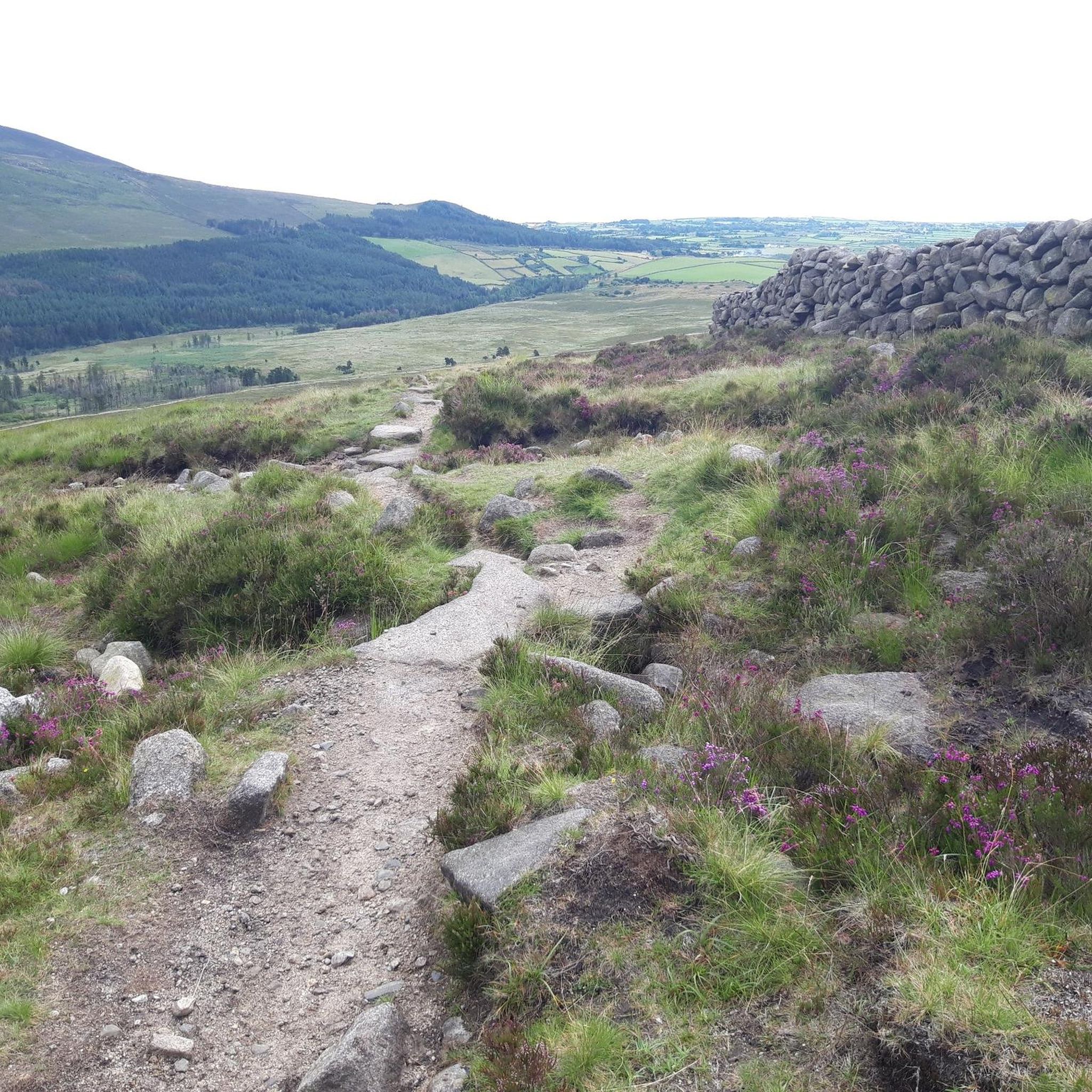
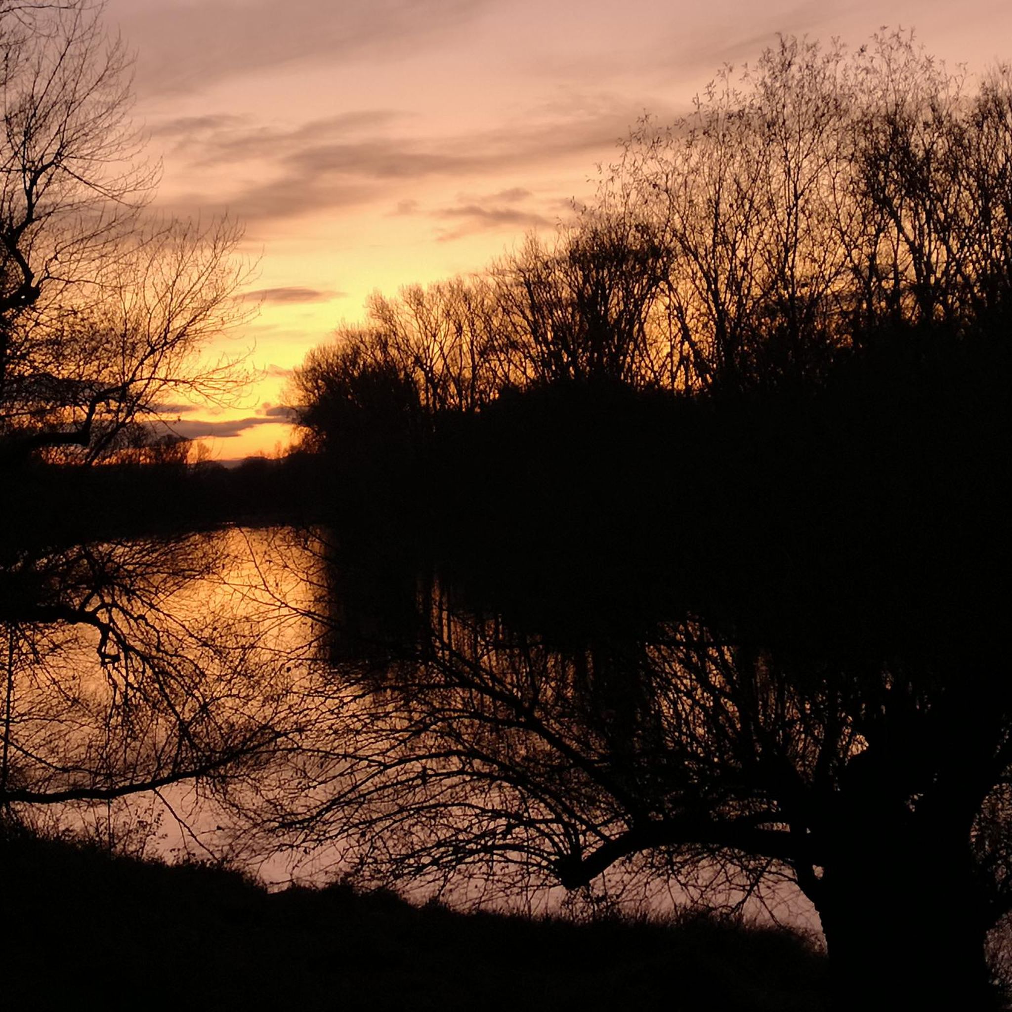
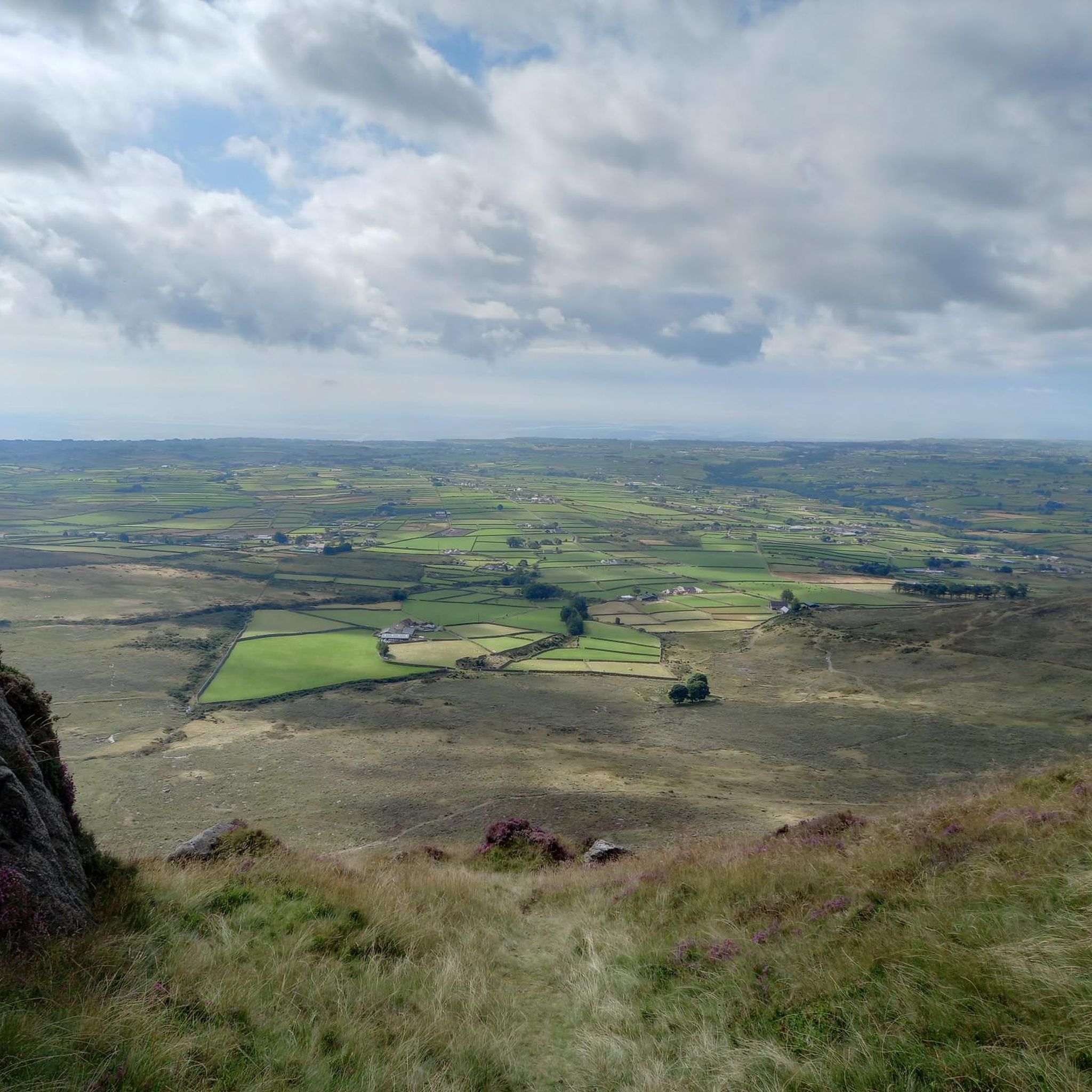
Tips from the Community

Dating back to the 19th century, this historic port offers an authentic insight into the region's maritime history. The well-maintained paths along the port make for a pleasant ride with views of the Mourne Mountains in the background. However, it can get slippery in wet weather, so care must be taken. A particular highlight is the Annalong Cornmill, a restored watermill that is well worth a visit. Nearby you'll find the Harbour Inn, a cosy eatery known for its fresh seafood. Note, however, that the harbour can dry out at low tide, which changes the view.
1
0
The small, historic port provides a charming setting with views of the Mourne Mountains and the sea. The promenade is well maintained and is great for a relaxing cruise along the coast. However, it can get quite busy in good weather and at weekends, which can slow down the journey. A highlight is the proximity to Murlough National Nature Reserve, which is just a few kilometers away and is ideal for further exploration. Note, however, that some sections of the promenade can be slippery when wet, so care must be taken.
1
0

Now wonderfully restored, the mill features an exhibit where you can experience how life in the past could have been like on the Mourn Mountains, and surroundings.
0
0
The lovely little harbour was historically the heart of the community. At its height shipping the quarries work put in on reshaping the surrounding hills to the UK and Ireland. But those days are dust You will however still catch a few classic vessels passing through, as they make their way down the South Down coastline. All of which you can cycle. I recommend that.
1
0
If you fancy a dip after all those hills, this is a very safe spot for swimming. The slipway at the side of the harbour wall is the preferred entry point. If you look back along the side of Slieve Donard, you will see some cottages known as “Widows Row”. These were built for the widows of fishermen who died at sea. They would be able to live out their days in one of the cottages looking out to sea.
1
0

The perfect meeting spot to start any run in this area. From this point you can head either into Rostrevor village, out towards Killowen, into Kilbroney park or head north alongside the river.
1
0

Situated along the picturesque Annalong Harbour is a beautifully restored cornmill. The cornmill was in operation between the early 1800s until the 1960s and today is used as a museum, where you can learn about the rich history of Annalong.
1
2
Annalong Harbour is a small tidal boat harbour located in Annalong on the coast of the Mourne Mountains Area of Natural Beauty. The harbour features a delicious seafood restaurant called The Harbour Inn, where you can enjoy panoramic views of the Mourne Mountains and out to the Irish Sea.
1
2
Frequently Asked Questions
How many road cycling routes are available around Carrigenagh Upper?
There are 21 road cycling routes available around Carrigenagh Upper. These routes cater to various skill levels, including 4 easy, 16 moderate, and 1 difficult option.
What kind of terrain can I expect on road cycling routes in Carrigenagh Upper?
Road cycling routes around Carrigenagh Upper feature a diverse landscape of quiet rural roads and varied scenery. You can expect a mix of flat stretches, rolling hills, and significant climbs, especially with access to the Mourne Mountains and the Ring of Gullion AONB. Routes often include tranquil sections, such as those near Camlough Lake, alongside more challenging mountain ascents.
Are there any loop road cycling routes in Carrigenagh Upper?
Yes, many of the road cycling routes around Carrigenagh Upper are designed as loops. For example, the Spelga Reservoir Hill Climb – Climb by Rostrevor Forest loop from Kilkeel and the Head Road, Mourne AONB – Annalong Harbour loop from Brookside Farm are popular circular options, allowing you to start and finish in the same location.
What scenic views can I expect on road cycling routes in Carrigenagh Upper?
Road cycling in this region offers breathtaking scenic views. You'll encounter magnificent vistas of the coastal plain, the Irish Sea, and the dramatic backdrop of the Mourne Mountains. Routes often pass by the Silent Valley Reservoir and provide extensive views from hilly sections, including towards peaks like Slieve Bearnagh.
Are there any notable landmarks or attractions along the road cycling routes?
Yes, cyclists can encounter several notable natural landmarks and attractions. You might pass by the serene Silent Valley Reservoir, the tranquil Blue Lough, or even catch a glimpse of The Mourne Wall. The region's historical richness also suggests encounters with various points of interest.
Is there parking available for road cyclists near Carrigenagh Upper?
While specific parking areas for Carrigenagh Upper routes are not detailed, the broader region, especially around popular starting points like Kilkeel or Brookside Farm, typically offers parking facilities suitable for accessing cycling routes. It's advisable to check local information for specific car park locations before your ride.
What about public transport options to reach the cycling routes?
Public transport options to reach the cycling routes around Carrigenagh Upper are generally limited to local bus services in nearby towns like Kilkeel. For more flexibility, driving to a starting point with parking is often the most convenient option for cyclists.
Are there cafes or places to stop for refreshments along the routes?
Yes, the region around Carrigenagh Upper, particularly in nearby towns like Kilkeel and Annalong, offers cafes, pubs, and accommodation options where you can stop for refreshments. Many routes pass through or near these communities, providing convenient breaks.
Are there family-friendly road cycling routes in Carrigenagh Upper?
Yes, Carrigenagh Upper offers 4 easy road cycling routes that are generally suitable for families or those looking for a more relaxed ride. These routes typically feature less elevation gain and quieter roads, allowing for an enjoyable experience for all ages.
What is the best time of year for road cycling in Carrigenagh Upper?
The best time for road cycling in Carrigenagh Upper is typically from spring through autumn (April to October). During these months, the weather is generally milder, and the scenic beauty of the Mourne Mountains and surrounding areas is at its peak. Always check the local weather forecast before heading out, as conditions can change rapidly in mountainous regions.
How long do road cycling routes typically take in Carrigenagh Upper?
The duration of road cycling routes in Carrigenagh Upper varies depending on the distance and elevation. For instance, a moderate route like the Fairy Glen – Warrenpoint Shore Road loop from Kilkeel Golf Club, which is about 33 miles (53.1 km), typically takes around 2 hours 10 minutes. Longer or more challenging routes, such as the Newcastle Harbour – Climb by Rostrevor Forest loop from Annalong (78.8 km), can take over 3 hours.
What do other road cyclists say about the routes in Carrigenagh Upper?
The road cycling routes in Carrigenagh Upper are highly rated by the komoot community, with an average score of 4.7 stars from more than 10 reviews. Cyclists often praise the varied terrain, the quiet rural roads, and the stunning views of the Mourne Mountains and the Irish Sea.
Most popular attractions around Carrigenagh Upper

Get inspired with the komoot mobile app


Explore more
Browse the best Road cycling routes in other regions.
