The best MTB trails around Ballyveagh More Upper
4.8
(9)
118
riders
1
ride
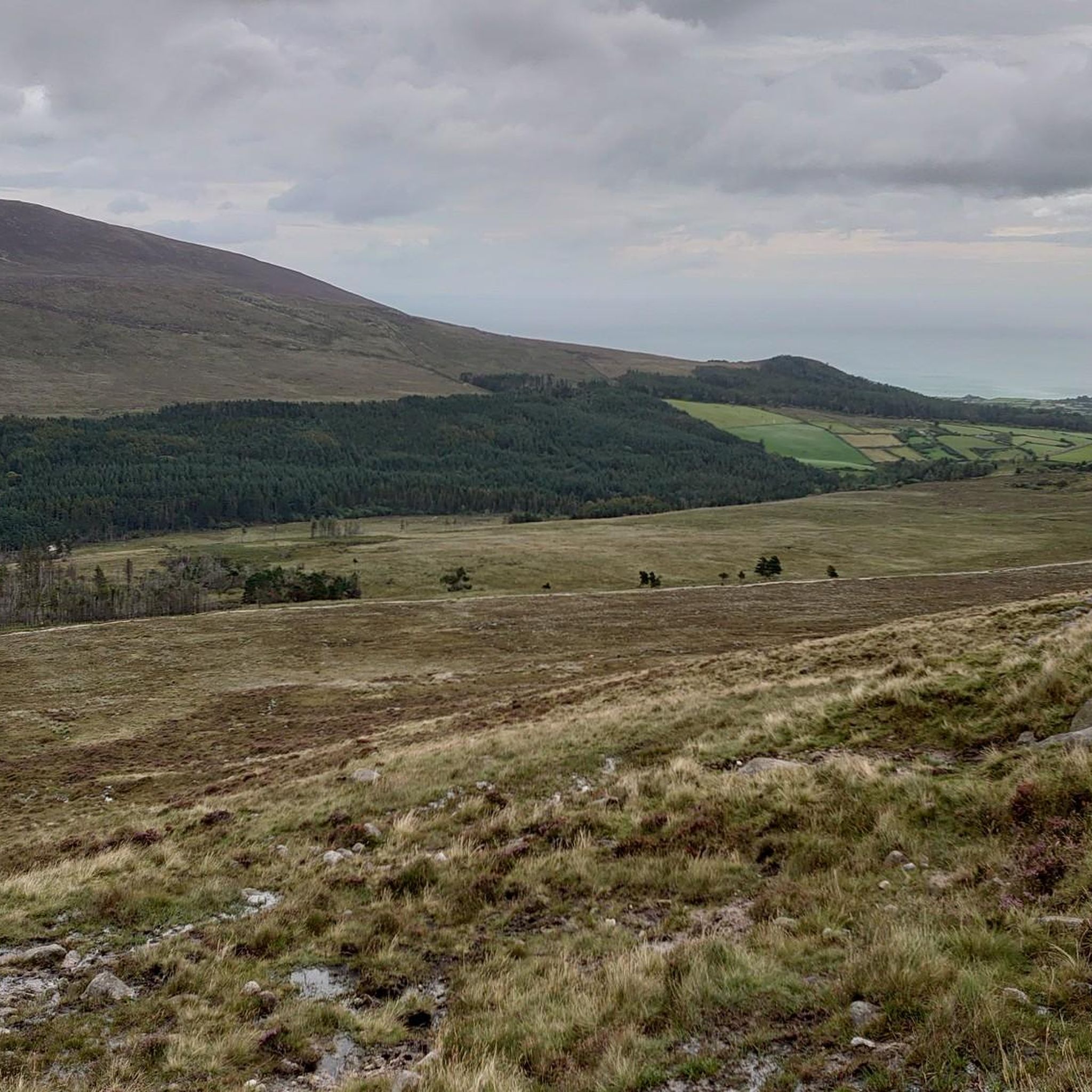
Mountain biking around Ballyveagh More Upper offers access to varied terrain within the scenic Mourne Mountains. The region is characterized by dramatic peaks and natural features like the Mourne Wall and Ben Crom Reservoir, providing a diverse backdrop for rides. Trails in the vicinity can range from moderate climbs to more challenging routes, often traversing unpaved sections and dense forests. This area provides a compelling destination for mountain bikers seeking both natural beauty and engaging rides.
Best mountain bike trails…
Last updated: October 14, 2026
5.0
(1)
28
riders
31.9km
02:40
490m
490m
Moderate mountain bike ride. Good fitness required. Suitable for all skill levels.
15
riders
12.7km
01:09
300m
300m
Easy mountain bike ride. Great for any fitness level. Suitable for all skill levels.

4.5
(8)
12
riders
41.7km
03:31
860m
860m
Hard mountain bike ride. Good fitness required. Advanced riding skills necessary. Some portions of the route may require you to push your bike.
6
riders
10.4km
01:03
290m
290m
Easy mountain bike ride. Great for any fitness level. Suitable for all skill levels.
23
riders
10.1km
00:56
280m
280m
Easy mountain bike ride. Great for any fitness level. Suitable for all skill levels.
Our route recommendations are based on thousands of hikes, rides, and runs completed by other people on komoot.
Start today with a free account
Your next adventure awaits.
Tips from the Community

FACEBOOK (History of Newcastle, Co. Down, Hore's Bridge, 2026-08-15): https://www.facebook.com/HistoryofNewcastleCo.Down/photos/hores-bridge-over-the-spinkwee-river-sw-tollymore-was-built-in-1824-the-date-is-/754755631362196/ “… Hore's Bridge over the Spinkwee River, SW Tollymore, was built in 1824. …”
1
0
The stepping stones are currently fenced off. Please use the nearby bridges to cross the Shimna River.
2
0
Wikipedia (Tollymore Forest Park, 2026-08-14): https://en.m.wikipedia.org/wiki/Tollymore_Forest_Park “... Parnell Bridge, named in recognition of Sir John Parnell who visited Tollymore in the late 18th century, was constructed in 1842. It was the last stone bridge to be built in Tollymore. …”
2
0
Wikipedia (Tollymore Forest Park, 2026-08-14): https://en.m.wikipedia.org/wiki/Tollymore_Forest_Park “... The Hermitage is a small stone shelter designed by James Hamilton (2nd Earl of Clanbrassil) in the 1770s in memory to his friend the John Montagu, Marquess of Monthermer. It is built into the side of the gorge above the river and was used as a place for ladies to shelter while the men fished. There is an inscription in Greek within the Hermitage which translates as "Clanbrassil, to his very dear friend Monthermer 1770". …”
2
0
Wikipedia (Tollymore Forest Park, 2026-08-14): https://en.m.wikipedia.org/wiki/Tollymore_Forest_Park “... Horn Bridge crosses a small culverted burn (stream) and is crossed by a gravel road. The burn below the bridge is covered with a board walk connected to a path. It was built c.1770 by either the 1st or 2nd Earl. ...”
1
0

The park has no entry fee, you only have to pay 5 £ for parking.
1
0

Easy route no special gear required. Very scenic
0
0

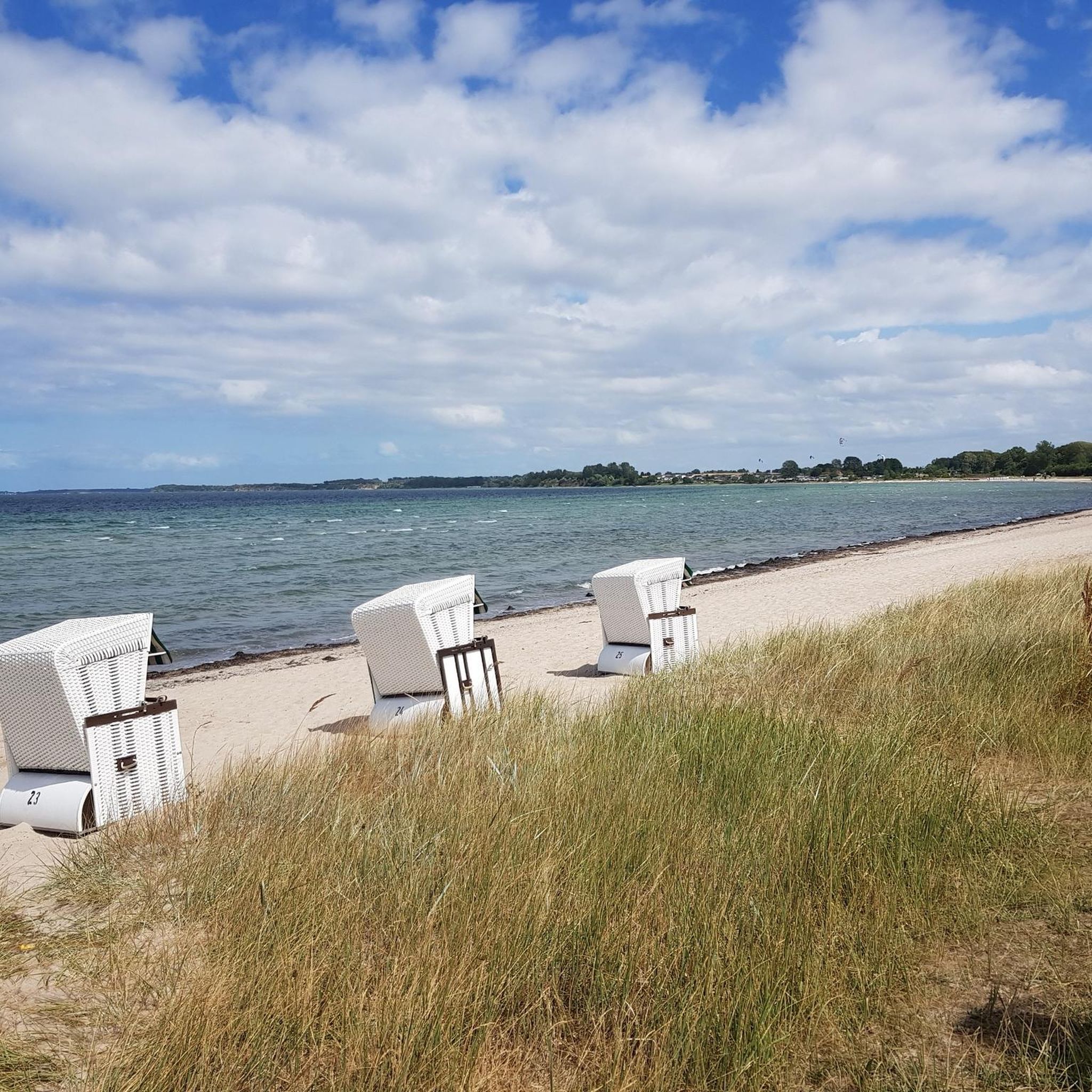
The small, historic port provides a charming setting with views of the Mourne Mountains and the sea. The promenade is well maintained and is great for a relaxing cruise along the coast. However, it can get quite busy in good weather and at weekends, which can slow down the journey. A highlight is the proximity to Murlough National Nature Reserve, which is just a few kilometers away and is ideal for further exploration. Note, however, that some sections of the promenade can be slippery when wet, so care must be taken.
1
0
Frequently Asked Questions
How many mountain bike trails are available around Ballyveagh More Upper?
There are 5 mountain bike routes detailed in this guide for the Ballyveagh More Upper area. These routes offer a variety of experiences, from easy rides to more challenging ascents within the scenic Mourne Mountains.
Are there any easy mountain bike trails suitable for beginners or families?
Yes, there are several easy routes perfect for beginners or family outings. For instance, the Thomas's Quarry and Waterfall – Newcastle Harbour loop from Newcastle is an easy 12.7 km path that offers pleasant views and passes a waterfall. Another option is the Stepping Stones at Mourne AONB – Parnell's Bridge loop from Bryansford, which is 10.5 km long and also rated easy.
What are some of the landmarks or natural features I can see along the mountain bike trails?
The trails around Ballyveagh More Upper offer stunning views of the Mourne Mountains and access to several notable landmarks. You might encounter the impressive Mourne Wall, which stretches across the peaks, or enjoy the serene beauty of the Ben Crom Reservoir. Some routes also pass through Tollymore Forest Park, offering a mix of forest trails and open landscapes.
Are there any trails that feature waterfalls?
Yes, if you're looking for waterfalls, the Thomas's Quarry and Waterfall – Newcastle Harbour loop from Newcastle is an easy 12.7 km trail that passes a waterfall. Additionally, the more challenging Tollymore Forest Park – Donard Park Waterfall loop from Bryansford leads past Donard Park Waterfall.
Are there any circular mountain bike routes in the area?
All the mountain bike routes listed in this guide for Ballyveagh More Upper are circular loops, allowing you to start and finish at the same point. Examples include the moderate Bannanstown Road Climb – Tollymore Forest Park loop from Bryansford and the easy Tollymore Forest Park – Parnell's Bridge loop from Bryansford.
What is the best time of year to go mountain biking in Ballyveagh More Upper?
The Mourne Mountains region, including Ballyveagh More Upper, is beautiful year-round. However, for mountain biking, spring and autumn often offer the most pleasant conditions with milder temperatures and vibrant scenery. Some sections of trails can be unpaved and may demand good fitness and sure-footedness, especially in wet weather, so consider this during winter or heavy rain periods.
What do other mountain bikers enjoy most about the trails in Ballyveagh More Upper?
The mountain bike trails around Ballyveagh More Upper are highly rated by the komoot community, with an average score of 4.8 stars from over 6 reviews. Reviewers often praise the stunning landscapes, the diverse terrain, and the dramatic backdrop of the Mourne Mountains that make for engaging rides.
Are there any challenging routes for experienced mountain bikers?
Yes, for experienced mountain bikers seeking a challenge, the Tollymore Forest Park – Donard Park Waterfall loop from Bryansford is a difficult 40.5 km trail with significant elevation gain, often completed in about 3 hours 25 minutes. This route provides a demanding ride through varied terrain.
Where can I find parking for mountain biking in Ballyveagh More Upper?
While specific parking details for Ballyveagh More Upper are not provided, the broader Mourne Mountains region, including areas like Tollymore Forest Park and near Newcastle, typically offers designated parking facilities for outdoor enthusiasts. It's advisable to check local signage upon arrival or consult specific route descriptions for recommended starting points.
Is public transport available to access the mountain bike trails?
Access to the Mourne Mountains region, where Ballyveagh More Upper is located, can be achieved via public transport to nearby towns like Newcastle or Bryansford. From these points, you may need to cycle or arrange local transport to reach specific trailheads. Always check current bus schedules and routes for the most up-to-date information.
Are there any viewpoints along the mountain bike routes?
Many routes in the Mourne Mountains offer panoramic views due to the mountainous terrain. While specific viewpoints are not always marked, you can expect stunning vistas of the peaks and the Irish Sea. The region is known for its dramatic and picturesque backdrop, ensuring plenty of scenic moments during your ride. For specific named viewpoints, consider exploring highlights like Slieve Bearnagh or the Summit of Slieve Donard, which are accessible from the wider area.
Are there cafes or places to eat near the mountain bike trails?
The charming villages surrounding the Mourne Mountains, such as Rostrevor, Newcastle, and Bryansford, offer various cafes, pubs, and accommodation options where cyclists can relax and refuel after a ride. These towns are typically a short distance from many of the trailheads in the region.
Most popular attractions around Ballyveagh More Upper

Get inspired with the komoot mobile app


Explore more
Browse the best MTB trails in other regions.
