The best road cycling routes around Cranfield
4.5
(12)
418
riders
19
rides
Road cycling routes around Cranfield feature a diverse landscape, offering coastal roads with views of the Mourne Mountains and routes through forested areas. The region provides varied terrain suitable for road cyclists, from relatively flat stretches along the shore to more undulating paths with moderate climbs. This area is characterized by its blend of scenic coastal vistas and inland routes passing through rural settings.
Best road cycling routes around Cranfield
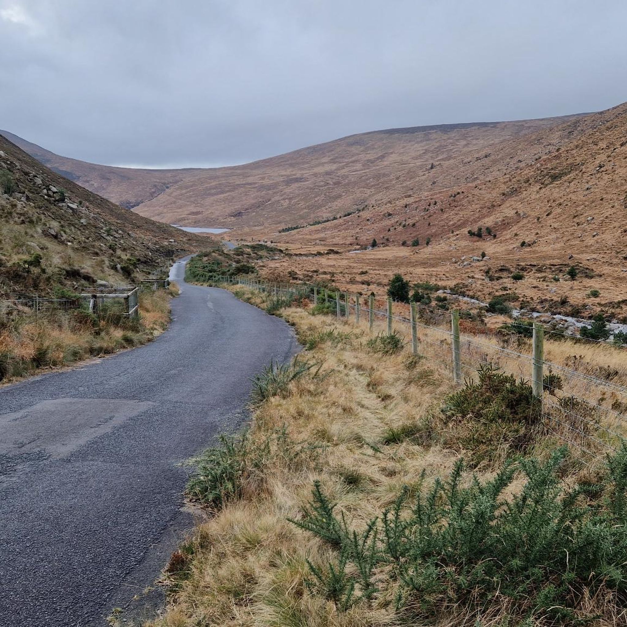
- The most popular road cycling route is Trassey Road –…
Last updated: October 18, 2026
4.3
(3)
66
riders
68.9km
03:01
650m
650m
Moderate road ride. Good fitness required. Mostly well-paved surfaces and easy to ride.
57
riders
65.8km
02:34
240m
240m
Moderate road ride. Good fitness required. Mostly well-paved surfaces and easy to ride.

4.0
(2)
55
riders
52.4km
02:07
280m
280m
Moderate road ride. Good fitness required. Mostly well-paved surfaces and easy to ride.
36
riders
63.9km
02:34
320m
320m
Moderate road ride. Good fitness required. Mostly well-paved surfaces and easy to ride.
5.0
(3)
13
riders
46.7km
02:05
450m
450m
Moderate road ride. Good fitness required. Mostly well-paved surfaces and easy to ride.
Get access to more routes and recommendations from other explorers.
Already have an account?
Our route recommendations are based on thousands of hikes, rides, and runs completed by other people on komoot.
Start today with a free account
Your next adventure awaits.

Tips from the Community


Remains of the medieval Dominican priory on the west side of Carlingford, recognisable by its high, narrow windows and the elongated ruin wing in grey stone. The site lies quietly just outside the centre, with views of the hills and the open grass around the old priory walls.
5
1
This charming seaside town overlooks the Mourne Mountains, whose silhouette rises along the coast of Northern Ireland. Carlingford is very lively at weekends thanks to its many pubs and restaurants, which attract visitors from the north, and is famous for its oysters. The village has several historical sights, such as the small King John's Castle, with its romantic silhouette overlooking the sea, and Taaffe's Castle, a former 16th-century merchant's house located a little further from the quay.
6
0
The Tholsel is undoubtedly one of the most unique structures in the heart of Carlingford. This medieval city gate, originally built in the 15th century, is the only remaining gate from the original town wall and served for centuries as the ceremonial and administrative entrance to the town.
6
2
Above the medieval street pattern, which dominates the silhouette of Carlingford, stands the imposing ruin of Carlingford Castle, also known as King John’s Castle. This castle was built around 1190 by the Norman knight Hugh de Lacy and was for centuries the strategic key to the entrance of Carlingford Lough.
5
2

The highest bar in County Louth along the Táin Way. A traditional Irish pub that offers a cozy interior with a warming fire and excellent food. A favourite amongst locals and hikers!
0
0

Dating back to the 19th century, this historic port offers an authentic insight into the region's maritime history. The well-maintained paths along the port make for a pleasant ride with views of the Mourne Mountains in the background. However, it can get slippery in wet weather, so care must be taken. A particular highlight is the Annalong Cornmill, a restored watermill that is well worth a visit. Nearby you'll find the Harbour Inn, a cosy eatery known for its fresh seafood. Note, however, that the harbour can dry out at low tide, which changes the view.
1
0
The small, historic port provides a charming setting with views of the Mourne Mountains and the sea. The promenade is well maintained and is great for a relaxing cruise along the coast. However, it can get quite busy in good weather and at weekends, which can slow down the journey. A highlight is the proximity to Murlough National Nature Reserve, which is just a few kilometers away and is ideal for further exploration. Note, however, that some sections of the promenade can be slippery when wet, so care must be taken.
1
0
Frequently Asked Questions
How many road cycling routes are available around Cranfield?
There are over 20 road cycling routes around Cranfield, offering a diverse range of experiences. Most of these, 17 to be exact, are rated as moderate, with 5 routes suitable for easy rides.
Are there any challenging road cycling routes near Cranfield?
While most routes around Cranfield are moderate, some offer significant climbs. For instance, the Trassey Road – Climb by Rostrevor Forest loop from Corcreaghan Road features a notable ascent alongside Rostrevor Forest, covering 43.0 miles with over 650 meters of elevation gain, making it a good option for those seeking a more demanding ride.
What are the best road cycling routes for scenic views in Cranfield?
Cranfield's road cycling routes are known for their scenic beauty. The Strandfield Coffee Shop – View of the Mourne Mountains loop from Greenore offers stunning vistas of the Mourne Mountains. Another excellent choice for coastal scenery is the Fairy Glen – Warrenpoint Shore Road loop from Kilkeel Golf Club, which takes you along the shore and past the picturesque Fairy Glen.
Are there road cycling routes around Cranfield that pass by coffee shops or pubs?
Yes, several routes incorporate stops at local establishments. The Strandfield Coffee Shop – View of the Mourne Mountains loop from Greenore and the Strandfield Coffee Shop – Basecamp Coffee loop from Greenore both pass by coffee shops, perfect for a mid-ride break. The region's rural setting also means you'll find charming pubs in many of the villages along the way.
What kind of terrain can I expect on road cycling routes in Cranfield?
The terrain around Cranfield is diverse, featuring a mix of coastal roads, forested areas, and rural settings. You'll find relatively flat stretches along the shore, as well as more undulating paths with moderate climbs, particularly as you head inland towards areas like Rostrevor Forest or the foothills of the Mourne Mountains.
What do other road cyclists say about the routes in Cranfield?
The road cycling routes in Cranfield are highly regarded by the komoot community, holding an average rating of 4.6 stars from 11 reviews. Cyclists frequently praise the blend of scenic coastal views, the challenge of routes with climbs, and the overall variety of the landscape.
Are there any interesting landmarks or attractions to see along the road cycling routes?
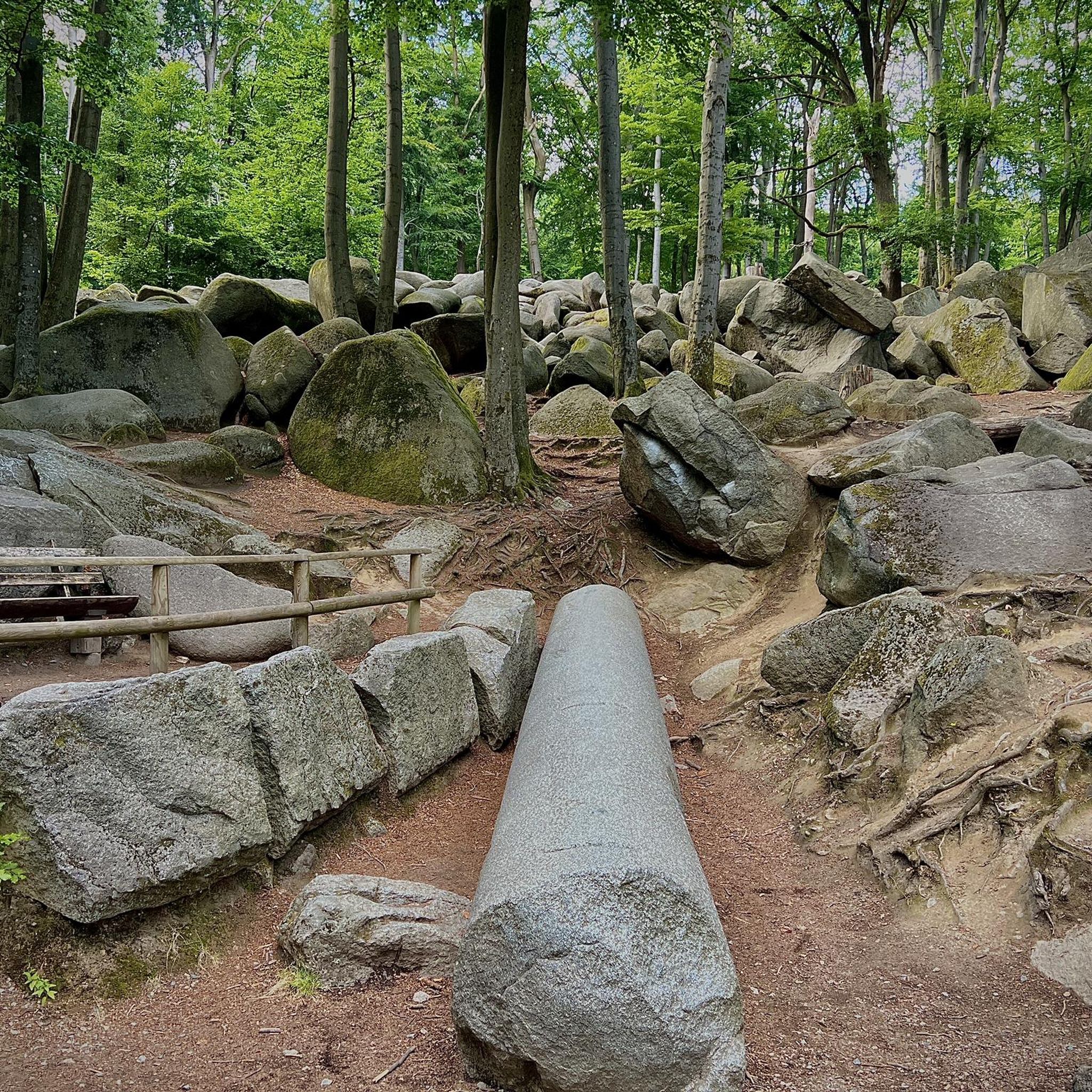
Absolutely! The routes offer opportunities to see various points of interest. You might pass by the historic town of Carlingford, the unique Cloughmore Stone, or the scenic Fiddlers Green. Coastal routes often provide views of Carlingford Lough and the majestic Mourne Mountains.
Are there any loop road cycling routes around Cranfield?
Yes, many of the road cycling routes around Cranfield are designed as loops, offering convenient starting and ending points. Examples include the Trassey Road – Climb by Rostrevor Forest loop from Corcreaghan Road and the Annalong Harbour – Head Road, Mourne AONB loop from Kilkeel Golf Club, allowing you to return to your starting location without retracing your path.
What is the typical duration for road cycling routes in Cranfield?
The duration of road cycling routes in Cranfield varies depending on the distance and your pace. Moderate routes typically range from 2 to 3 hours. For example, the Fairy Glen – Warrenpoint Shore Road loop from Kilkeel Golf Club takes about 2 hours 9 minutes, while the longer Trassey Road – Climb by Rostrevor Forest loop from Corcreaghan Road can take around 3 hours 1 minute.
Are there beginner-friendly road cycling routes in Cranfield?
Yes, Cranfield offers 5 routes specifically rated as easy, making them suitable for beginners or those looking for a more relaxed ride. These routes generally feature flatter terrain and shorter distances, providing a gentle introduction to road cycling in the area.
What is the best season for road biking in Cranfield?
Road biking in Cranfield is enjoyable across multiple seasons. Spring and autumn offer pleasant temperatures and beautiful scenery, with fewer crowds. Summer provides longer daylight hours, while winter can be crisp but requires appropriate gear due to cooler temperatures and potentially wet conditions. Always check the local weather forecast before heading out.
Are there quiet road cycling routes near Cranfield, away from heavy traffic?
Many of Cranfield's road cycling routes venture into rural areas and along coastal paths, offering a peaceful cycling experience away from heavy traffic. Routes that explore the inland forested sections or less populated coastal stretches are generally quieter, allowing for a more immersive experience in nature.
Most popular attractions around Cranfield

Get inspired with the komoot mobile app


Explore more
Browse the best Road cycling routes in other regions.
