The best running trails around Lisnabilla
4.8
(9)
1,039
runners
74
runs
Jogging routes around Lisnabilla benefit from the region's diverse landscapes, offering varied terrain for runners. The area provides options from easy, paved paths to more challenging trails with elevation changes. Runners can explore riverside paths, woodlands, and natural settings, making it suitable for different preferences and fitness levels.
Best jogging routes around Lisnabilla
- The most popular jogging route is Broad Water Cycle Path – Broad Water Riverside Path loop from Moira, a 10.8 miles (17.3 km) trail that takes…
Last updated: June 27, 2026
5.0
(1)
54
runners
Hard run. Very good fitness required. Mostly paved surfaces. Suitable for all skill levels.
13
runners
11.9km
01:14
70m
70m
Moderate run. Good fitness required. Mostly paved surfaces. Suitable for all skill levels.

Sign up for free
15
runners
10.8km
01:07
80m
80m
Moderate run. Good fitness required. Mostly paved surfaces. Suitable for all skill levels.
5.0
(1)
11
runners
7.20km
00:45
50m
50m
Moderate run. Good fitness required. Mostly paved surfaces. Suitable for all skill levels.
6
runners
9.34km
00:58
60m
60m
Moderate run. Good fitness required. Mostly paved surfaces. Suitable for all skill levels.
Get access to more routes and recommendations from other explorers.
Sign up for free
Already have an account?
Our route recommendations are based on thousands of hikes, rides, and runs completed by other people on komoot.
Start today with a free account
Your next adventure awaits.
Login or Signup

Tips from the Community

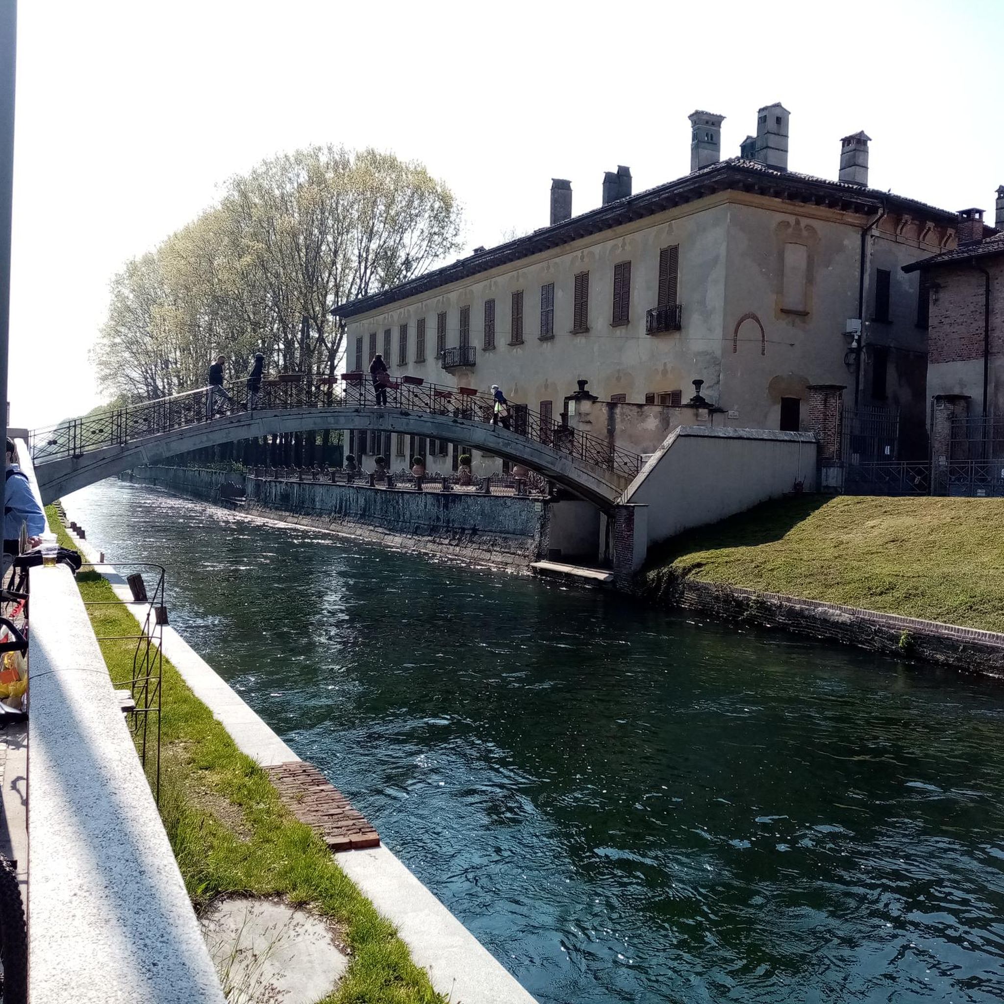
This meandering bicycle path glides on through from the station, you get a chance to catch a moment, get into your rhythm by the waters edge.
1
0

A great place to stop for some fresh fruit and vegetables on a bike tour, the owner is also very friendly.
0
0
Frequently Asked Questions
How many running routes are available around Lisnabilla?
There are over 70 running routes around Lisnabilla, catering to various fitness levels. You'll find a good mix, with 7 easy routes, 51 moderate, and 18 more challenging options for experienced runners.
What kind of terrain can I expect on jogging trails near Lisnabilla?
The jogging trails near Lisnabilla offer diverse terrain. You can expect everything from easy, paved paths along rivers to more challenging trails with elevation changes through woodlands and natural settings. Areas like the Lagan Towpath provide flat, traffic-free surfaces, while Divis and the Black Mountain offer more rugged, elevated terrain.
Are there any family-friendly running routes in the Lisnabilla area?
Yes, several areas around Lisnabilla are suitable for family-friendly runs. Parks like Sir Thomas and Lady Dixon Park and Wallace Park in Lisburn offer expansive, diverse landscapes with paths ideal for all ages. The Lagan Towpath also provides a safe, traffic-free environment perfect for families.
Can I bring my dog on the running trails around Lisnabilla?
Many outdoor spaces and trails around Lisnabilla are dog-friendly, provided dogs are kept under control, often on a lead. The Lagan Towpath and areas within Hillsborough Forest Park are popular choices for runners with dogs. Always check local signage for specific rules regarding pets.
Are there circular running routes available near Lisnabilla?
Yes, many of the routes in the Lisnabilla area are circular, offering convenient starting and ending points. For example, the Broad Water Cycle Path – Broad Water Riverside Path loop from Moira is a popular circular option, providing a scenic riverside experience.
What are some scenic viewpoints or natural features to look out for on a run?
The region boasts beautiful natural features. The Lagan Towpath offers picturesque riverside views. For more expansive vistas, the higher points of Divis and the Black Mountain provide panoramic views across the north. You might also enjoy the varied landscapes, including woodlands and meadows, in Sir Thomas and Lady Dixon Park.
Are there any interesting landmarks or attractions near the running routes?
Absolutely! While running, you might pass by or be close to several points of interest. The Lisburn to Belfast Pathway offers a connection to urban areas, and the Broad Water Cycle Path is a highlight in itself. Further afield, you could visit Hillsborough Castle, or enjoy the tranquility of Lurgan Park Lake.
What do other runners enjoy most about jogging in Lisnabilla?
The running routes around Lisnabilla are highly rated by the komoot community, with an average score of 4.8 stars from over 9 reviews. Runners often praise the varied terrain, the scenic riverside paths, and the natural settings that make for a rewarding experience. The accessibility of routes for different ability levels is also frequently highlighted.
Are there options for long-distance running near Lisnabilla?
Yes, for those looking for longer runs, the area offers several extended routes. The Broad Water Cycle Path – Broad Water Riverside Path loop from Moira is a substantial 17.3 km (10.8 miles) trail, ideal for a longer, traffic-free run. The Lagan Towpath also provides extensive mileage for endurance training.
Where can I find parking or public transport access for these running trails?
Many popular running spots, such as Sir Thomas and Lady Dixon Park and Hillsborough Forest Park, typically offer dedicated parking facilities. For routes like the Lagan Towpath, access points often have nearby parking. Public transport options to Lisburn and surrounding areas are available, from which many trails are accessible, though specific route access may require a short walk or local connection.
Are there any moderate difficulty running routes for a balanced workout?
Certainly. The majority of routes around Lisnabilla are classified as moderate, providing a balanced workout without being overly strenuous. A great example is the Old Kilmore Sprint loop from Moira, which is 11.9 km (7.4 miles) and features varied terrain with some elevation changes, offering a good challenge.
Can I find running routes with coffee shops or amenities nearby?
While specific routes may not have coffee shops directly on the trail, many trails are located near towns like Moira or Lisburn, where you can find cafes and pubs. For instance, the Clarehill Sprint – The Barrow Fruit and Veg Shop loop from Moira starts and ends near amenities in Moira, making it convenient for a post-run refreshment.
Most popular routes around Lisnabilla
Most popular attractions around Lisnabilla

Get inspired with the komoot mobile app


Explore more
Browse the best Running Trails & Routes in other regions.
