The best MTB trails around North Mullaghacall
3
riders
4
rides
Mountain biking around North Mullaghacall offers diverse terrain, characterized by coastal paths, rolling hills, and scenic viewpoints. The region features routes that traverse along the coastline, providing views of the sea and access to beaches. Inland, the landscape includes varied elevations and natural features suitable for mountain biking.
Best mountain bike trails around North Mullaghacall
- The most popular mountain bike trail is Mussenden Temple loop from Coleraine, a 32.1 miles (51.6 km) difficult trail that takes 4 hours 1…
Last updated: November 9, 2026
51.6km
04:02
900m
900m
1
riders
36.0km
02:19
340m
340m

47.5km
03:27
780m
780m
Moderate mountain bike ride. Good fitness required.
2
riders
64.8km
04:37
820m
820m
Moderate mountain bike ride. Good fitness required.
Our route recommendations are based on thousands of hikes, rides, and runs completed by other people on komoot.
Start today with a free account
Your next adventure awaits.

Tips from the Community


Mountsandel Fort is a prehistoric fort dating to the Mesolithic period that was reused in the Irish Middle Ages (10th to 11th centuries). Located in Coleraine, County Derry, the fort consists of a huge grassy mound hollowed out in the middle, overlooking the River Bann. A must-see for lovers of mysterious monuments!
1
0

In a very nice little square, with benches and many shops in the pedestrian area.
1
0

This statue is located right next to the parking area and is easily accessible. The statue represents this sea god from Irish mythology overlooking the channel toward Greencastle, and from here, you can observe the beautiful countryside that surrounds you.
0
0

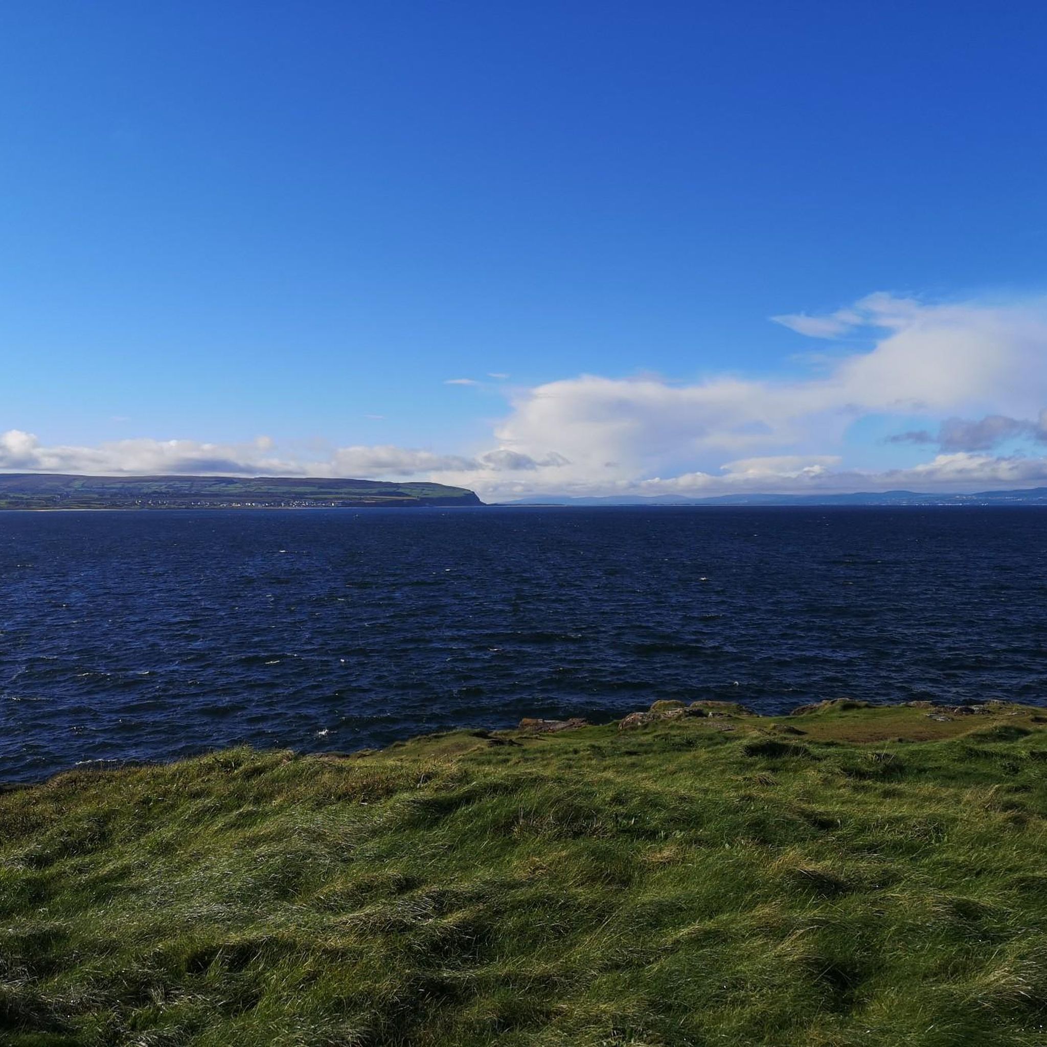
An absolute dream landscape - the highlight of the magnificent Antrim Coast
6
1

Manannan Mac Lir is mythical Irish sea god, said to be a warrior and king of the otherworld. The statue of this king is situated on a hill in the Binevenagh AONB, overlooking the channel toward Greencastle, providing some absoloutely breathtaking views across the surrounding countryside. After your energy-consuming journey up this hill you'll definitely need a rest, so take a seat and take it all in before heading back to your starting point.
1
0

Admission is free. There is no car traffic there. Only one bus runs from the parking lot to the destination at regular intervals. However, if you are fit, you should of course walk and explore the Giant's Causeway. Be it a quiet walk or an extended hike 🎒🍀
7
1

Fun bridge to cross the Bush river. You may have to get off and walk across the bridge at busy times but it's worth it.
0
0
Frequently Asked Questions
What is the general difficulty level of mountain bike trails in North Mullaghacall?
Mountain bike trails in North Mullaghacall range from moderate to difficult. The region features routes with varied elevations and coastal paths. For example, the Mussenden Temple loop from Coleraine is a difficult trail with significant elevation gain, while the Causeway Coast Cycle Route offers a moderate ride along the scenic coastline.
Are there any family-friendly mountain bike trails in North Mullaghacall?
While there are no routes specifically classified as 'easy' in this selection, the moderate trails along the coast, such as the Causeway Coast Cycle Route, might be suitable for families with some mountain biking experience. These routes generally follow the coastline, offering consistent views and less technical terrain compared to the more difficult inland trails.
What are the typical durations for mountain bike rides in North Mullaghacall?
The mountain bike trails in North Mullaghacall vary in length and duration. You can expect rides to range from approximately 2.5 hours for moderate routes to over 4 hours for more challenging ones. For instance, the Castlerock Beach – Mussenden Temple loop from Castlerock typically takes around 3 hours 27 minutes, while the Mussenden Temple loop from Coleraine is a longer ride at about 4 hours 1 minute.
What kind of terrain and conditions can I expect on mountain bike trails in North Mullaghacall?
The terrain in North Mullaghacall is diverse, featuring a mix of coastal paths, rolling hills, and varied elevations. Trails often traverse along the coastline, providing sea views and access to beaches, while inland routes can include more significant climbs. Conditions can vary with weather, so be prepared for potential wind along the coast and changing surfaces.
Are there circular mountain bike routes available in North Mullaghacall?
Yes, several mountain bike routes in North Mullaghacall are designed as loops, allowing you to start and finish at the same point. Examples include the Mussenden Temple loop from Coleraine and the Castlerock Beach – Mussenden Temple loop from Castlerock.
What are some notable viewpoints or scenic spots along the mountain bike trails?
The region offers stunning coastal views and historical landmarks. You can find excellent viewpoints such as Magheracross Viewpoint and scenic stretches like View of the North Coast from Binevenagh AONB. Many trails, particularly those along the coast, provide continuous panoramic vistas of the sea and surrounding landscape.
What historical sites or attractions can I see while mountain biking in North Mullaghacall?
Mountain biking in North Mullaghacall offers opportunities to pass by significant historical sites. The Mussenden Temple loop from Coleraine and the Castlerock Beach – Mussenden Temple loop from Castlerock both pass by the iconic Mussenden Temple. Other nearby attractions include the Downhill House Ruins and Dunluce Castle Ruins.
When is the best time of year for mountain biking in North Mullaghacall?
The best time for mountain biking in North Mullaghacall is generally during the drier months, from late spring through early autumn (May to September). During this period, you'll typically experience more favorable weather conditions, less mud on trails, and longer daylight hours, making for a more enjoyable ride along the coastal paths and inland routes.
Are there any cafes or places to eat near the mountain bike trails?
While specific cafes are not listed directly on the trails, the routes often start or pass through towns like Coleraine and Castlerock. These towns offer various amenities, including cafes and restaurants, where you can refuel before or after your ride. It's advisable to check local listings for current opening times.
What is the longest mountain bike trail in this guide?
The longest mountain bike trail featured in this guide is the Mountsandel Fort – Downhill Beach loop from Coleraine, which covers a distance of approximately 42.7 miles (68.7 km) and is classified as difficult.
What makes the mountain biking in North Mullaghacall unique?
Mountain biking in North Mullaghacall is defined by its unique blend of coastal scenery and varied inland elevations. Riders can experience trails that hug the dramatic Causeway Coast, offering breathtaking sea views and access to beaches, alongside routes that venture into rolling hills with significant climbs. This combination provides a diverse and engaging riding experience.
Most popular routes around North Mullaghacall
Most popular attractions around North Mullaghacall

Get inspired with the komoot mobile app


Explore more
Browse the best MTB trails in other regions.
