The best walks and hikes around Windy Hall
4.6
(71)
1,016
hikers
19
hikes
Hikes around Windy Hall explore the gentle landscape near Coleraine. The region is characterized by forest paths, riverside trails along the River Bann, and routes that visit historical sites like Mountsandel Fort. With minimal elevation changes, the area provides accessible walking opportunities suitable for most fitness levels.
Best hiking trails around Windy Hall
- The most popular hiking route is Mountsandel Fort – Mountsandel Fort loop from Coleraine, a 2.5 mile (4.0 km) trail that takes around 1 hour to…
Last updated: November 9, 2026
5.0
(2)
31
hikers
Easy hike. Easily walkable paths.
5.0
(2)
28
hikers
4.00km
01:03
30m
30m
Easy hike. Easily walkable paths.

3.0
(1)
14
hikers
3.23km
00:52
40m
40m
Easy hike. Easily walkable paths.
12
hikers
Easy hike. Easily walkable paths.
5.0
(2)
8
hikers
4.75km
01:16
50m
50m
Easy hike. Easily walkable paths.
Get access to more routes and recommendations from other explorers.
Already have an account?
Our route recommendations are based on thousands of hikes, rides, and runs completed by other people on komoot.
Start today with a free account
Your next adventure awaits.
Popular around Windy Hall
Tips from the Community

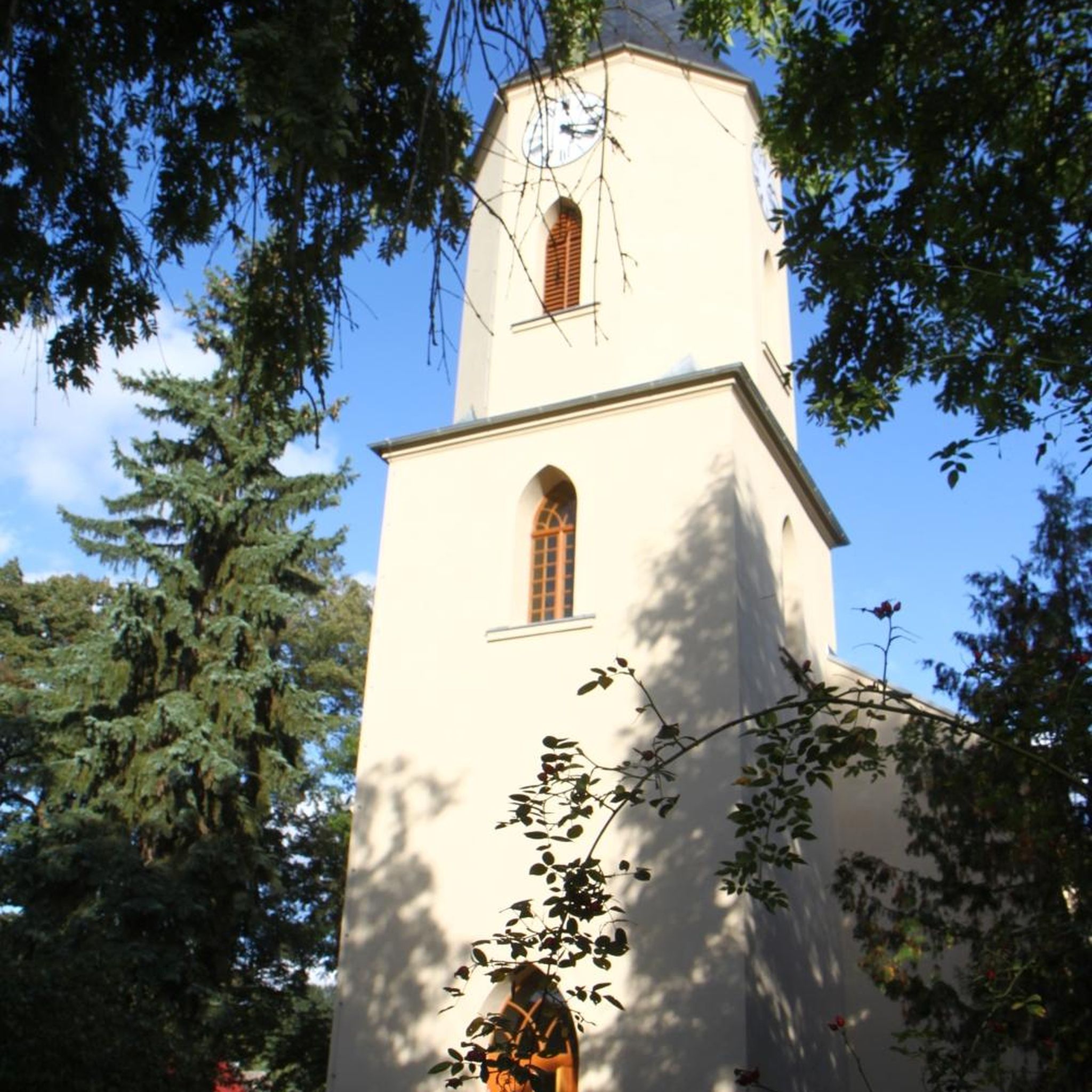
Mountsandel Fort is a prehistoric fort dating to the Mesolithic period that was reused in the Irish Middle Ages (10th to 11th centuries). Located in Coleraine, County Derry, the fort consists of a huge grassy mound hollowed out in the middle, overlooking the River Bann. A must-see for lovers of mysterious monuments!
1
0

You can walk along a well defined forest path from the small car park near Coleraine Courthouse and from the Fort, you can see great views of the Salmon Leap (Weir) and Coleraine.
1
0
Frequently Asked Questions
Are the hikes around Windy Hall suitable for families with children?
Yes, the area is very well-suited for family outings. The vast majority of trails are rated as easy, featuring gentle forest paths and riverside walks with minimal elevation changes. This makes them accessible for walkers of all ages and fitness levels.
What is the landscape like on the trails around Windy Hall?
The hiking experience is defined by serene and gentle scenery. You can expect to walk through quiet woodlands, follow paths along the River Bann, and explore routes that take you to local historical landmarks. It's a peaceful landscape rather than one of dramatic peaks.
Can I bring my dog on the trails?
Dogs are generally welcome on public footpaths. However, it's always best practice to keep them on a lead, especially when walking through forests like Somerset Forest or near historical sites such as Mountsandel Fort to protect wildlife and respect the area.
Are there any circular walks available?
Yes, many of the popular routes are loops that bring you back to your starting point. For a shorter circular walk, consider the Somerset Forest loop from Coleraine, which is just over 3 miles and explores the local woodland.
What do other hikers think of the trails around Windy Hall?
The routes in this region are highly regarded by the komoot community. Reviewers often praise the peaceful atmosphere of the forest trails and the pleasant walks along the River Bann. The area's accessibility and well-maintained paths are frequently mentioned.
Are there any trails that visit historical sites?
Yes, several routes incorporate local history. A great example is the Motte and Bailey loop from Drumadragh, which allows you to explore the area's past while enjoying a pleasant walk.
How many hiking trails are there around Windy Hall?
There are around 20 designated hiking trails to explore in the Windy Hall region. The network is composed almost entirely of easy routes, offering plenty of options for casual walks and family days out.
Are there any challenging hikes for experienced walkers?
The region is primarily known for its easy and accessible trails. There is one route classified as moderate, but there are no difficult, high-elevation, or technically demanding hikes. The focus is on gentle, relaxing walks.
What's a good route for a quiet walk in the woods?
For a peaceful woodland experience, the Somerset Forest loop from Macosquin is an excellent choice. This trail takes you through the quiet woodlands of Somerset Forest on an easy 3.3-mile path.
Are there any hikes with waterfalls in this area?
The trails around Windy Hall are characterized by riverside paths and forests, not waterfalls. The terrain is gentle and doesn't feature the dramatic elevation changes that typically create waterfalls.
How do I get to the trailheads by public transport?
Many trails start in or near Coleraine, which is the main hub for public transport in the area. You can typically use local bus services to get close to trailheads like those for the Mountsandel Forest walks. It's best to check local timetables for services running towards your chosen route.
Is there parking available at the start of the trails?
Parking is generally available, but it varies by trailhead. Routes starting from within Coleraine may rely on public car parks, while trailheads in more rural spots like Somerset Forest have their own designated parking areas. Always check the details of your chosen route on komoot for specific parking information.
Most popular routes around Windy Hall
Most popular attractions around Windy Hall

Get inspired with the komoot mobile app


Explore more
Browse the best Hikes in other regions.
