The best running trails around Alerheim
4.1
(161)
4,265
runners
371
runs
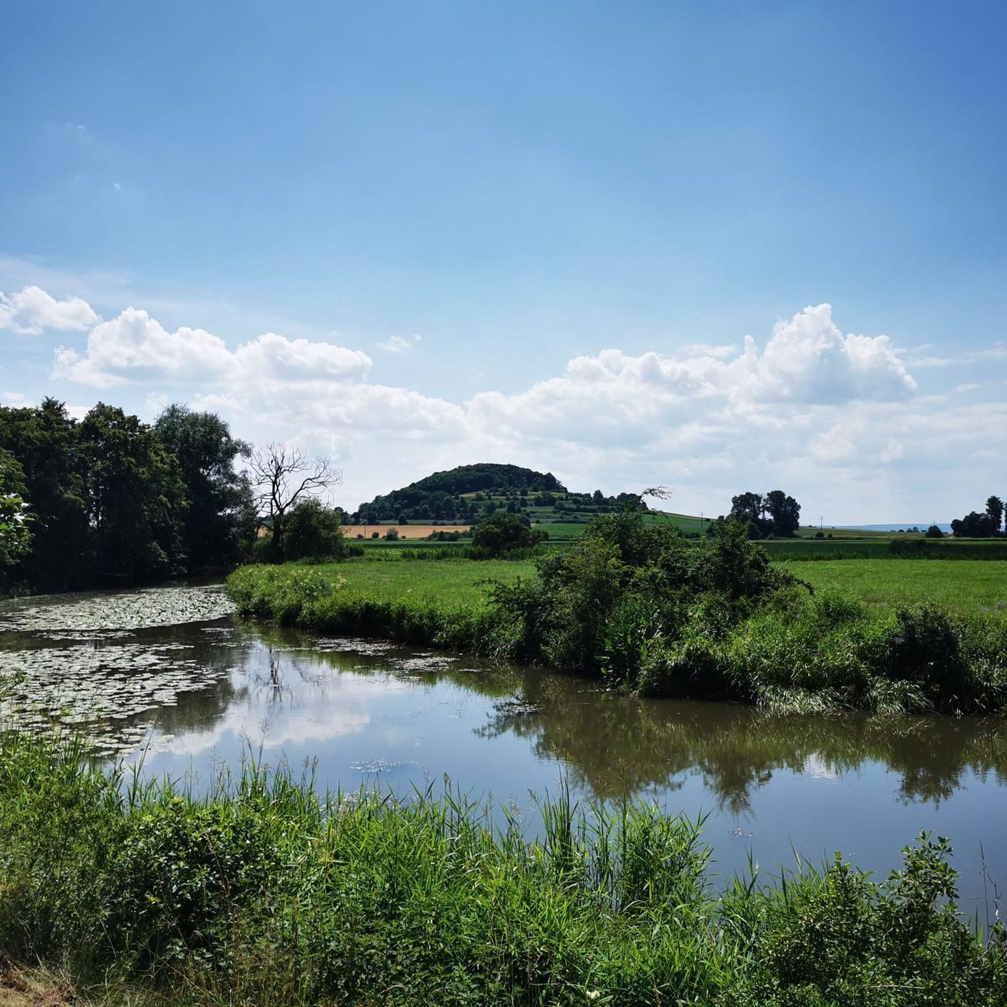
Jogging routes around Alerheim traverse the unique landscape of the UNESCO Global Geopark Ries, an area shaped by a meteorite impact. The region features rolling hills, expansive crater views, and a network of natural paths, agricultural roads, and forest trails. Runners can experience varied terrain, from gentle riverside sections near the Wörnitz River to more challenging inclines within the Nördlinger Ries crater. This diverse topography provides a range of running experiences for different fitness levels.
Best jogging routes around Alerheim
…Last updated: August 15, 2026
12
runners
16.8km
01:49
160m
160m
Hard run. Very good fitness required. Mostly paved surfaces. Suitable for all skill levels.
13
runners
12.4km
01:17
30m
30m
Moderate run. Good fitness required. Mostly paved surfaces. Suitable for all skill levels.

Sign up for free
9
runners
8.15km
00:50
10m
10m
Moderate run. Good fitness required. Mostly paved surfaces. Suitable for all skill levels.
3.0
(1)
11
runners
5.80km
00:36
20m
20m
Moderate run. Good fitness required. Mostly paved surfaces. Suitable for all skill levels.
11
runners
9.45km
00:58
30m
30m
Moderate run. Good fitness required. Mostly paved surfaces. Suitable for all skill levels.
Get access to more routes and recommendations from other explorers.
Sign up for free
Already have an account?
Our route recommendations are based on thousands of hikes, rides, and runs completed by other people on komoot.
Start today with a free account
Your next adventure awaits.
Login or Signup
Tips from the Community

Exciting caves along the way.
3
0

Duck your head when you look into the cave :)
2
0

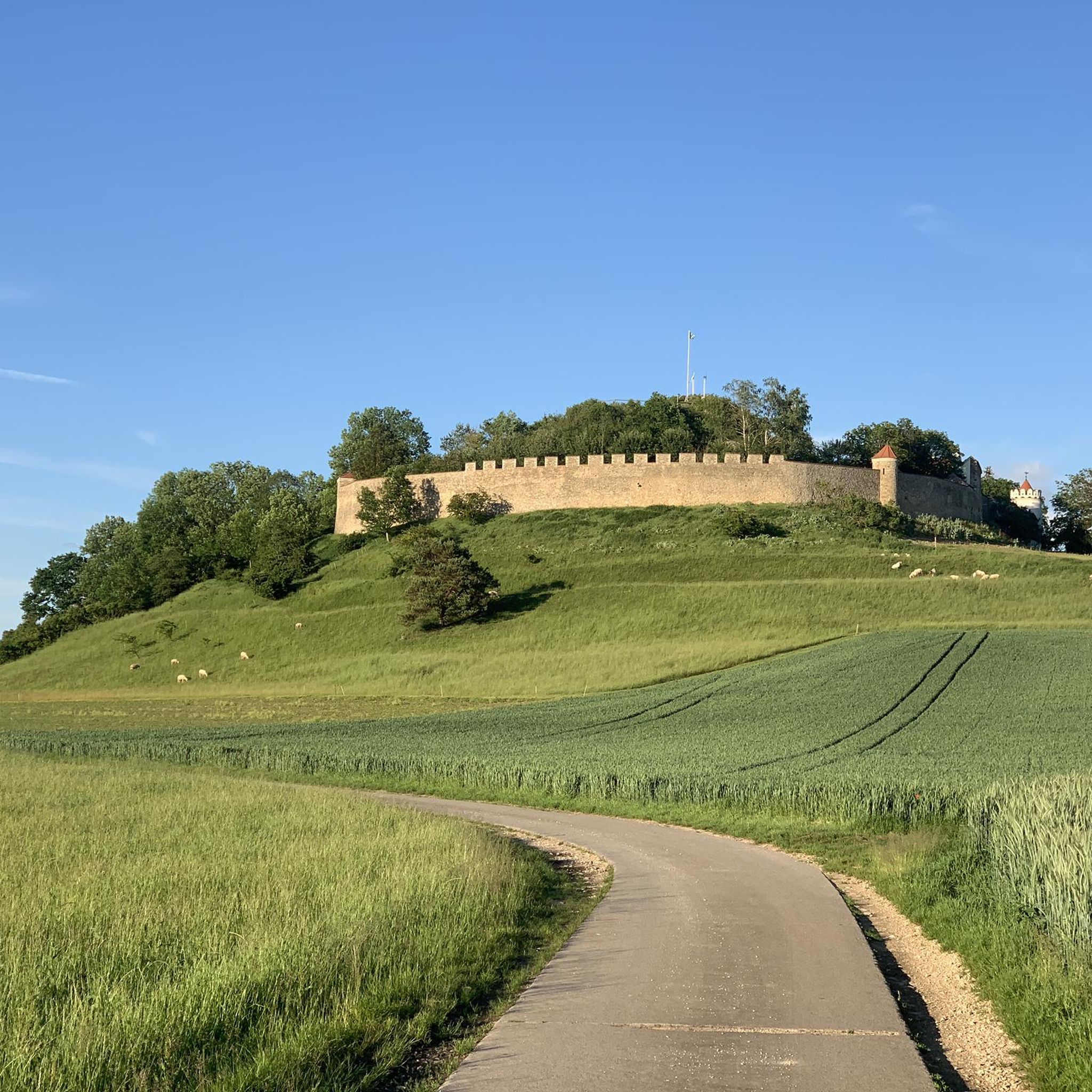
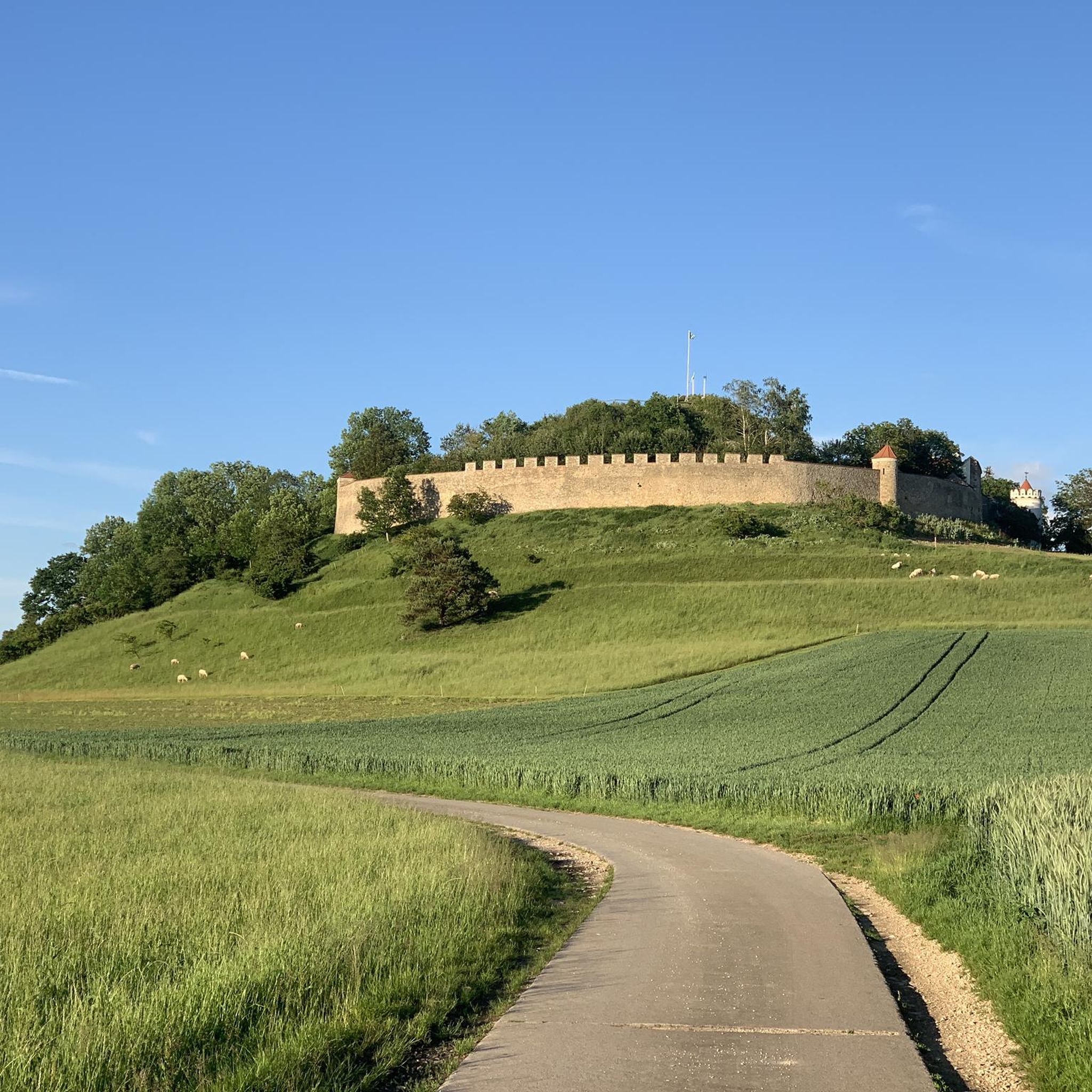
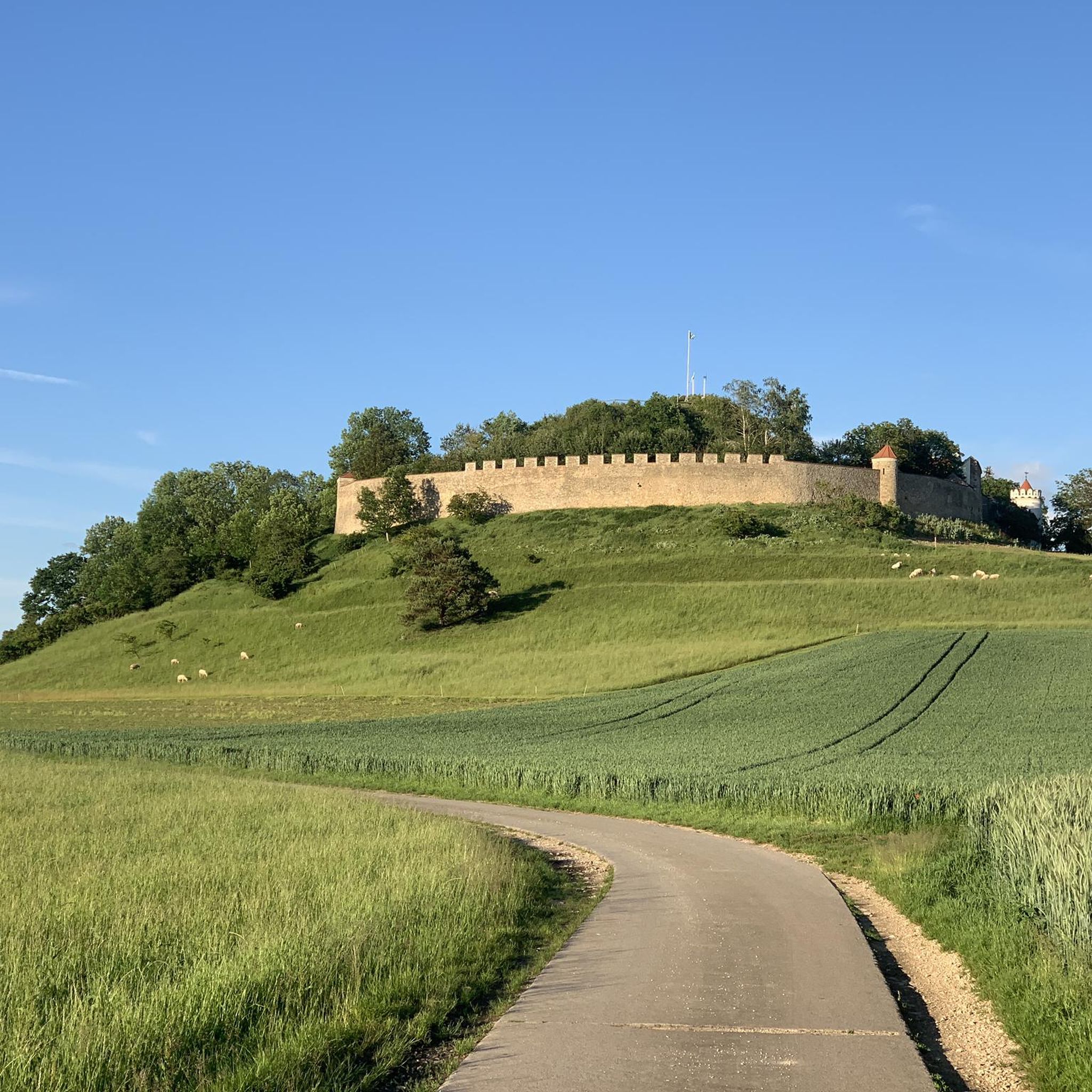
The castle is privately owned and cannot be visited.
0
0
Unfortunately not open to the public unless you want to see a hypnotherapist/physiotherapist.
1
0
cave-in cave that you can go into. On the meadow in front of it there is a nice rest area with a view to the south.
1
0

Wonderful castle. You can only drive up to the gate, it is privately owned.
0
1

Alerheim Castle, also called Alerheim castle ruins
1
0

Interesting facts about Deiningen: Is almost the center of the Ries
1
1
Frequently Asked Questions
How many running routes are available around Alerheim?
There are over 380 running routes available around Alerheim, catering to various fitness levels. You'll find a wide selection, from easy loops to more challenging trails with significant elevation gain.
What do other runners say about the trails in Alerheim?
The running routes in Alerheim are highly rated by the komoot community, with an average score of 4.2 stars from over 120 reviews. More than 3800 runners have used komoot to explore the varied terrain, often praising the unique landscape of the UNESCO Global Geopark Ries and the diverse trail options.
What kind of terrain can I expect on the running trails in Alerheim?
The terrain around Alerheim is diverse, shaped by the Nördlinger Ries meteorite crater. You can expect a mix of rolling hills, natural paths, agricultural roads, and tranquil forest trails. Some routes offer challenging inclines, while others provide gentler sections, including potential paths near the Wörnitz River.
Are there any easy running routes suitable for beginners in Alerheim?
Yes, Alerheim offers several easy running routes perfect for beginners. For a quicker, more gentle run, consider the Anhausen Pond loop from Rudelstetten, which is a moderate 3.6 miles (5.8 km) path around the scenic pond.
Can I find longer, more challenging running routes in the Alerheim area?
Absolutely. For a longer and more challenging run, the Lierheim Castle – Alerheim Castle loop from Alerheim is a great option. This 10.5-mile (16.8 km) trail features varied terrain and connects historical points of interest within the crater landscape, offering a good workout with significant elevation changes.
Are there circular running routes around Alerheim?
Many of the running routes around Alerheim are circular, allowing you to start and finish at the same point. A popular example is the Anhausen Pond loop from Anhauser Weiher, a 5.9-mile (9.4 km) trail that takes you through the scenic Anhausen Pond area.
Are dogs allowed on the running trails in Alerheim?
Generally, dogs are welcome on the outdoor trails around Alerheim, especially on the natural paths and forest trails. However, it's always recommended to keep your dog on a leash, especially in nature protection areas or near agricultural fields, and to respect local regulations.
Where can I find panoramic views while running in Alerheim?
For breathtaking panoramic views, focus on routes that ascend the rolling hills around the 'inner crater ring' of the Nördlinger Ries. The Wennenberg hill near Alerheim, for instance, offers expansive vistas over the crater landscape, providing inspiring backdrops for your run.
What kind of trail surfaces should I expect when running in Alerheim?
The running routes in Alerheim feature a variety of surfaces. You'll encounter packed dirt paths, gravel tracks, and natural forest floors. This mix of surfaces can be beneficial for runners, offering varied impact and engagement compared to solely paved routes.
Is there parking available near the running trailheads in Alerheim?
While specific parking details for every trailhead aren't listed, Alerheim and the surrounding villages typically offer parking options for visitors exploring the extensive network of hiking and cycling paths, which double as running routes. Look for designated parking areas in villages or near popular natural attractions.
Are there any points of interest or landmarks to see along the running routes?
Yes, the region around Alerheim is rich in history and natural beauty. You might encounter historical sites like the Ruins of Niederhaus Castle or the Hochhaus Castle Ruins. The area also features unique natural monuments such as the Lindle Quarry (Geopark Ries), offering insights into the region's geological past.
What are some natural features I might encounter on a run in Alerheim?
Beyond the impressive Nördlinger Ries crater landscape, you can expect to see rolling hills, tranquil forests, and the Wörnitz River. Routes like the Anhausen Pond loop from Bühl im Ries will take you past serene water features. The area is part of a UNESCO Global Geopark, highlighting its unique geological significance.
What is the best time of year to go running in Alerheim?
Spring and autumn generally offer the most pleasant conditions for running in Alerheim, with mild temperatures and beautiful scenery. Spring brings blooming flora, while autumn showcases vibrant fall colors. Summer can be warm, so early morning or late afternoon runs are advisable. Winter running is possible, but trails may be muddy or icy, depending on conditions.
Most popular attractions around Alerheim

Get inspired with the komoot mobile app


Explore more
Browse the best Running Trails & Routes in other regions.
