The best mountain hikes around Argenbühl
4.0
(2)
84
hikers
7
hikes
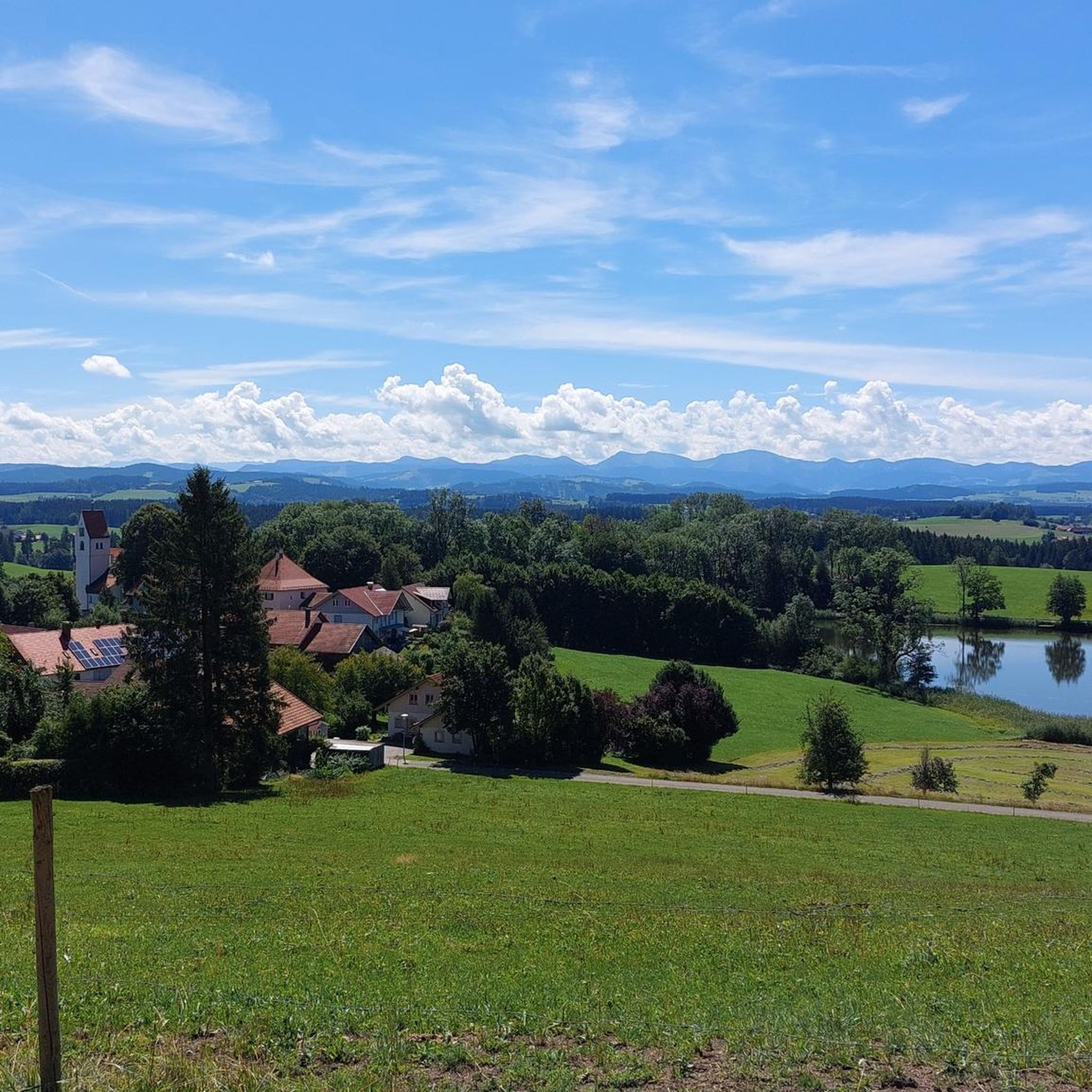
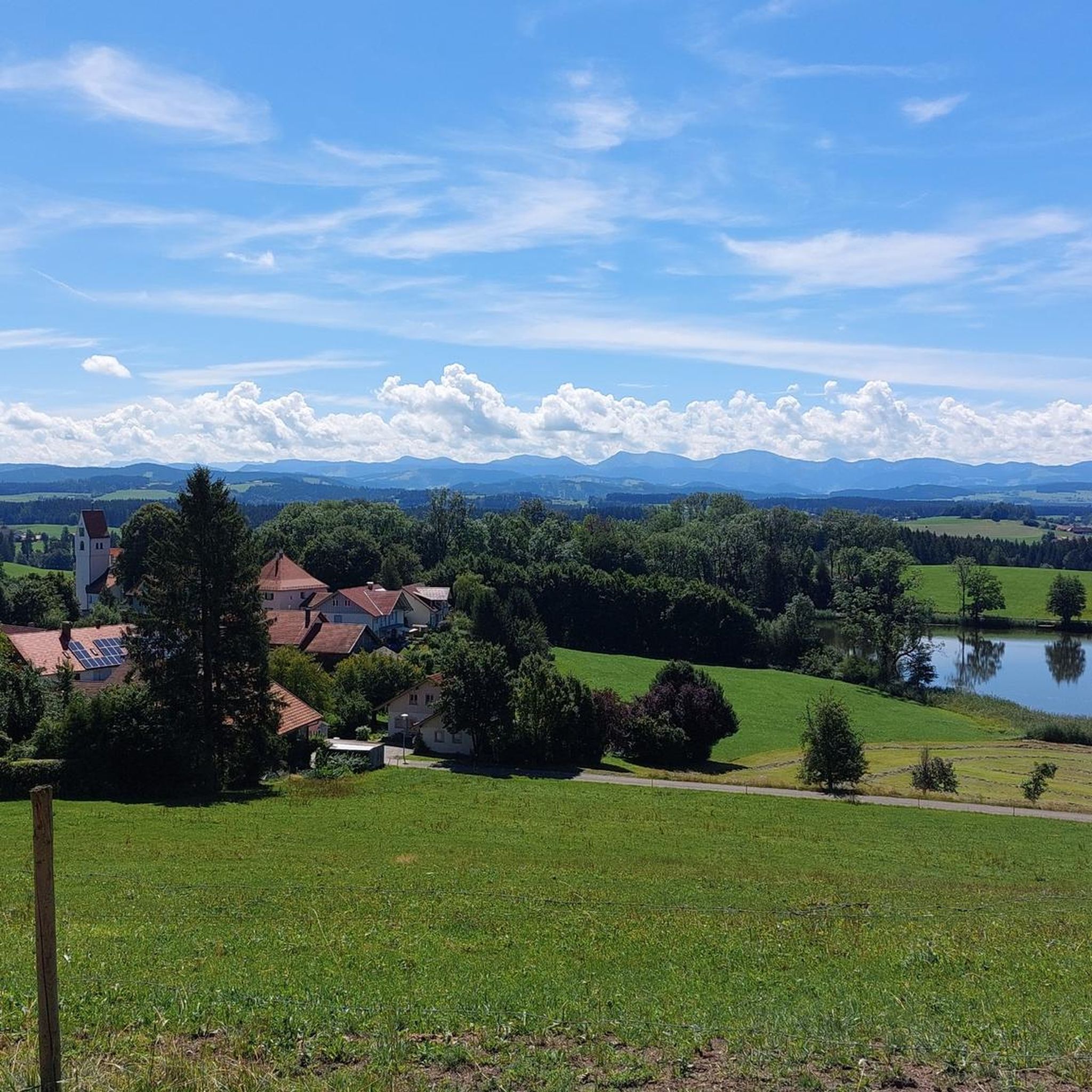
Mountaineering routes around Argenbühl traverse a landscape characterized by gentle hills, dense forests, and serene lakes within the Alpine foothills. The region features varying terrain, from gradual slopes to steeper ascents, offering panoramic views of the Allgäu. Natural features like the Eistobel Gorge and the Bodenmöser Nature Reserve define many of the routes. These mountaineering routes in Argenbühl provide diverse experiences across its scenic terrain.
Best mountaineering routes around Argenbühl
- The most popular mountaineering route is Eistobel Gorge – Large…
Last updated: July 1, 2026
16
hikers
13.1km
04:06
420m
430m
Moderate mountaineering route. Good fitness required. Mostly accessible paths. Sure-footedness required.
12
hikers
13.3km
04:06
490m
490m
Moderate mountaineering route. Good fitness required. Mostly accessible paths. Sure-footedness required.

Sign up for free
13
hikers
9.36km
03:07
390m
390m
Moderate mountaineering route. Good fitness required. Mostly accessible paths. Sure-footedness required.
1
hikers
6.50km
01:59
160m
160m
Moderate mountaineering route. Great for any fitness level. Mostly accessible paths. Sure-footedness required.
5
hikers
6.58km
02:13
300m
300m
Moderate mountaineering route. Good fitness required. Easily-accessible paths. Suitable for all skill levels.
Get access to more routes and recommendations from other explorers.
Sign up for free
Already have an account?
Our route recommendations are based on thousands of hikes, rides, and runs completed by other people on komoot.
Start today with a free account
Your next adventure awaits.
Login or Signup
Popular around Argenbühl
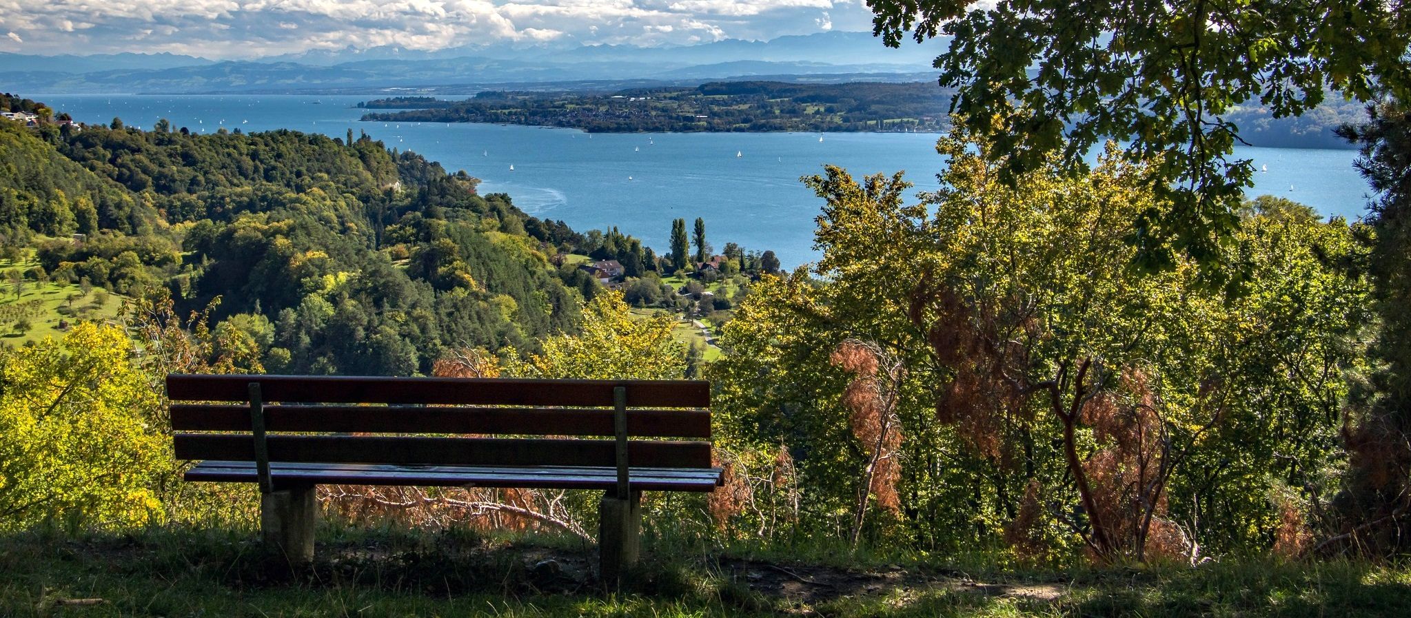
Heuberg-Allgäu Trail – From the Swabian Alb to Alpine foothills
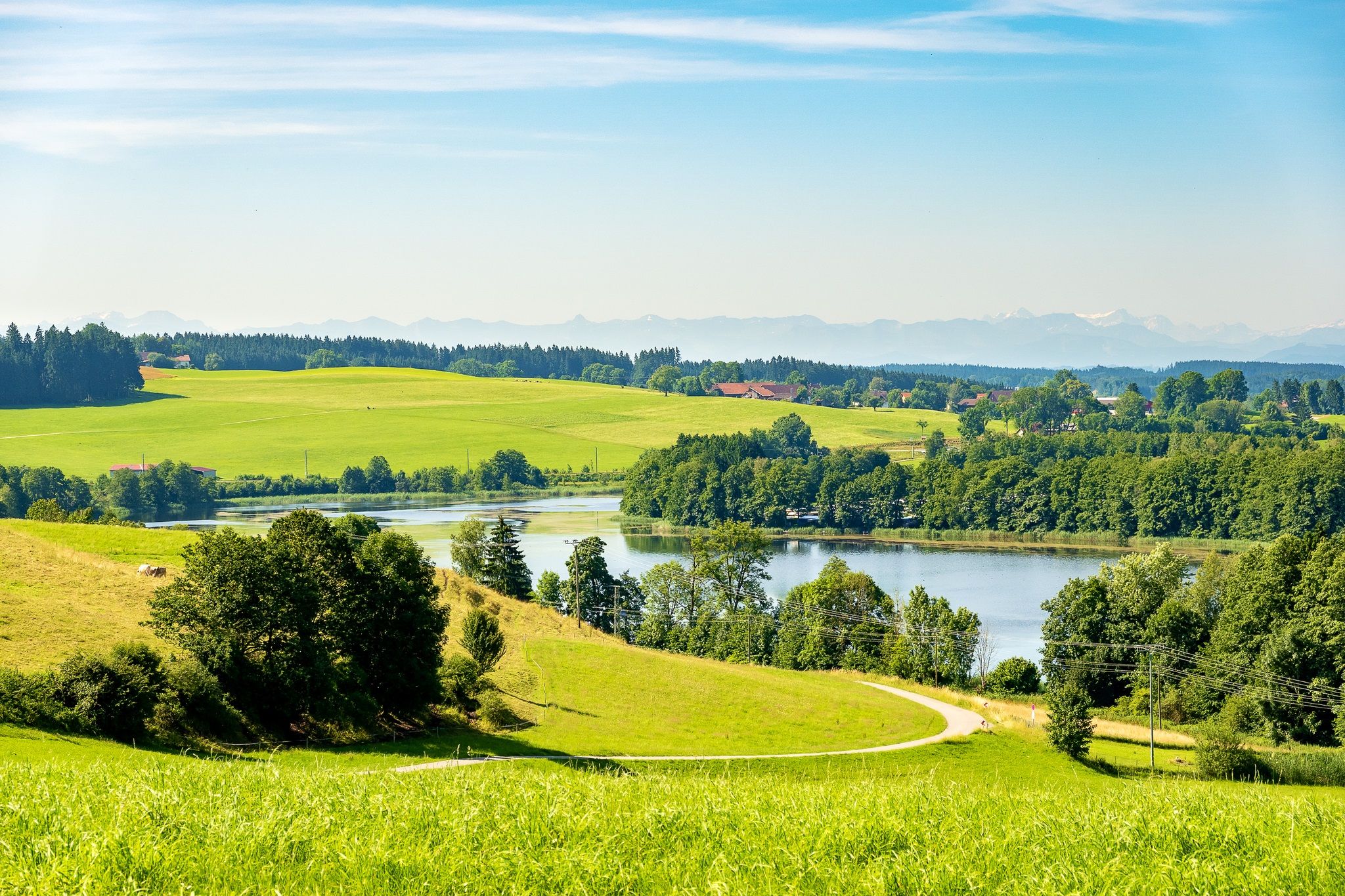
Hill country with alpine views – loops in the Wüttemberg Allgäu
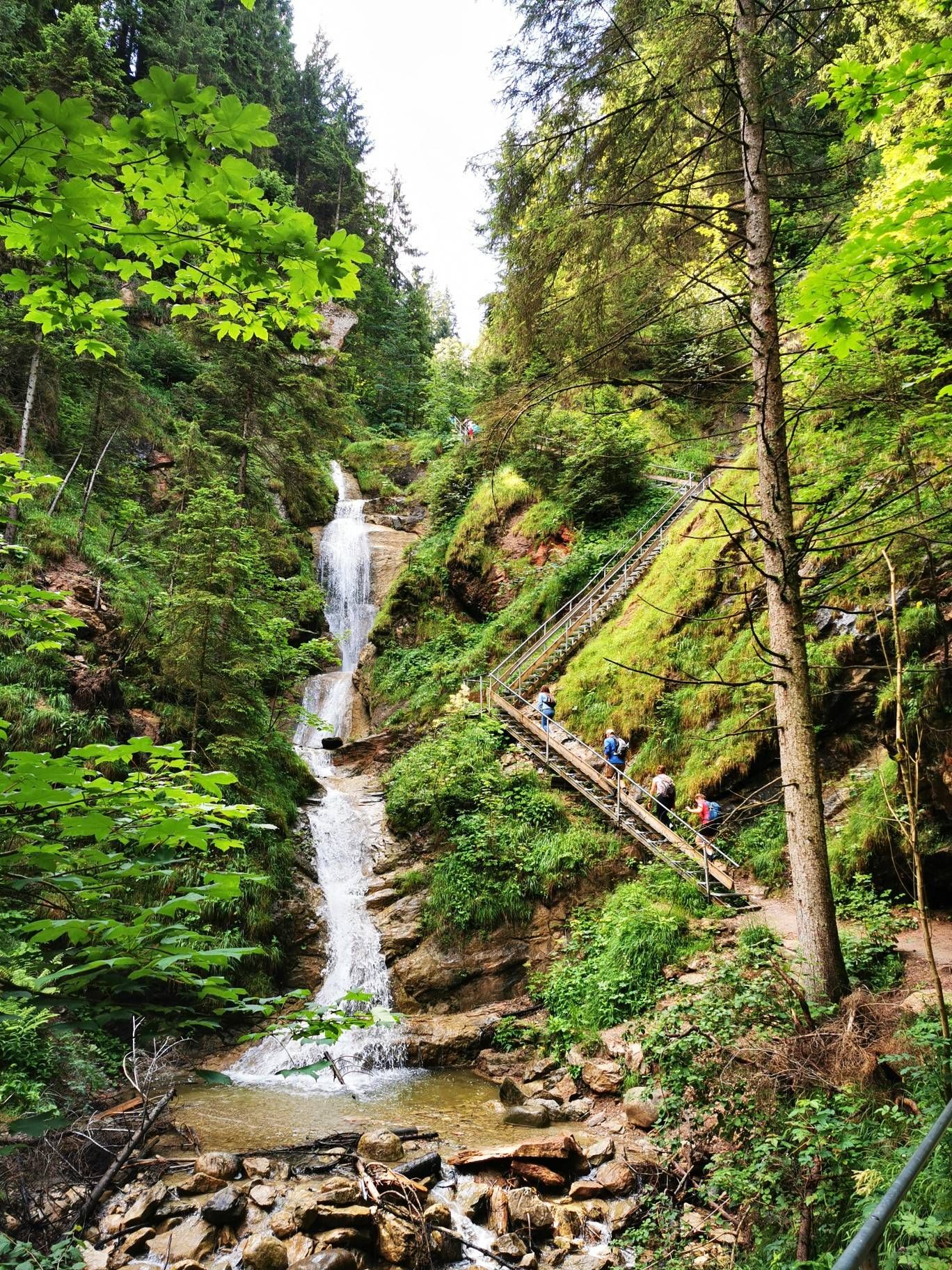
Discover Alpine lakes on the Watercourse Route – Allgäu hiking trilogy
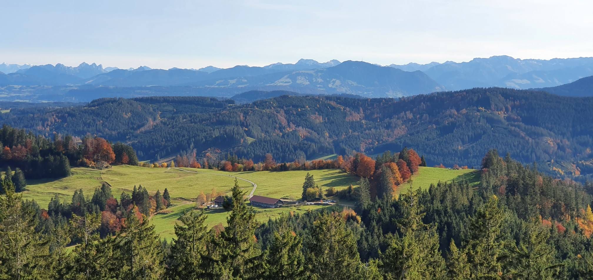
Alpine foothills on the Meadow Walkers’ Route – Allgäu hiking trilogy
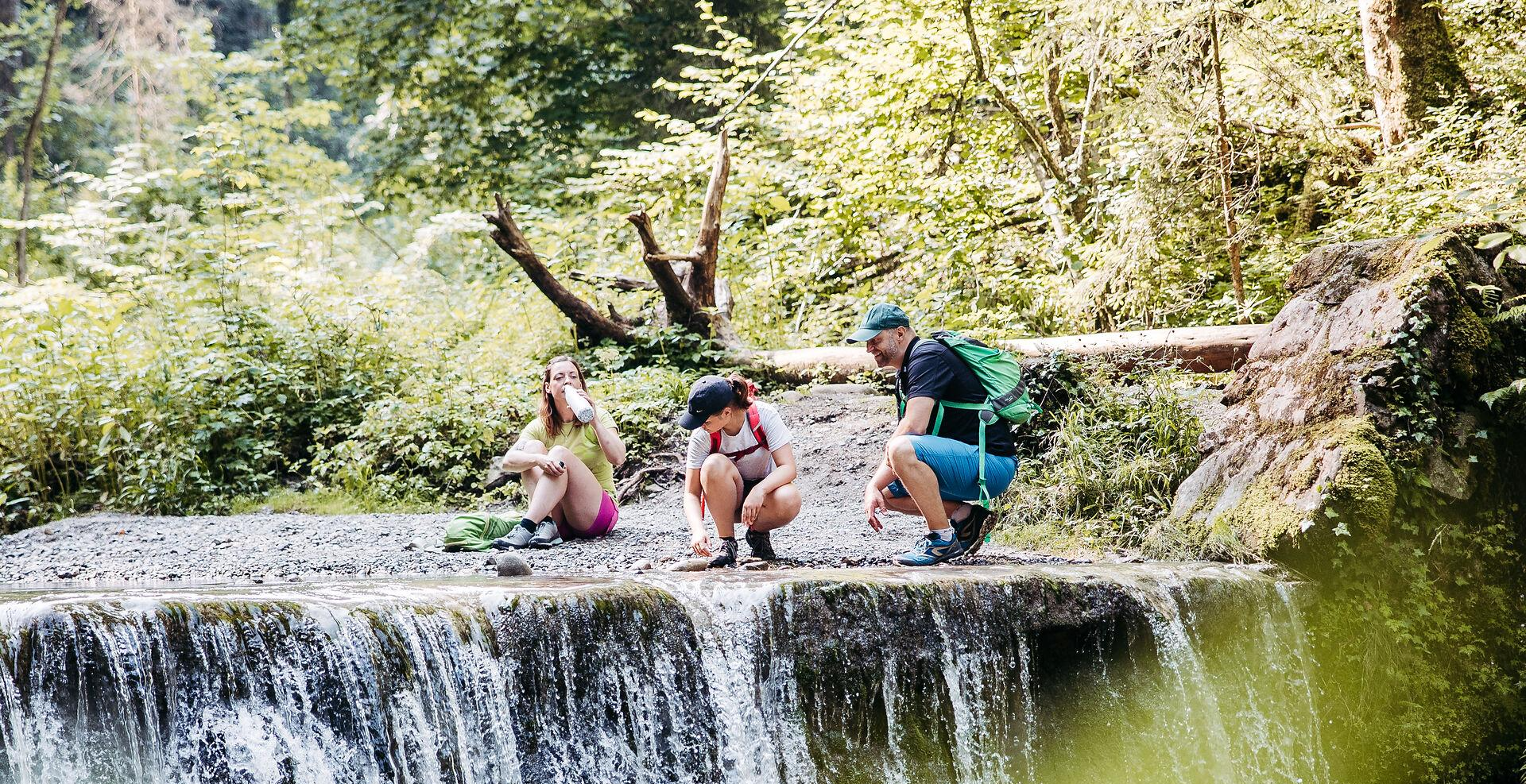
Westallgäuer Wasserwege
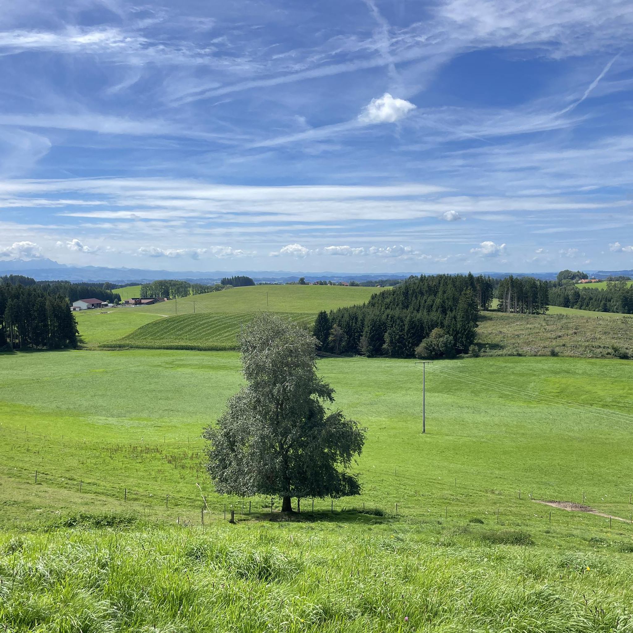
Hiking around Argenbühl
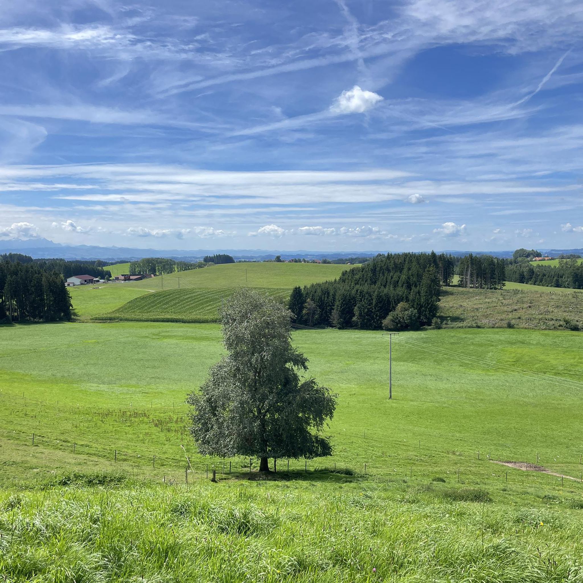
Cycling around Argenbühl
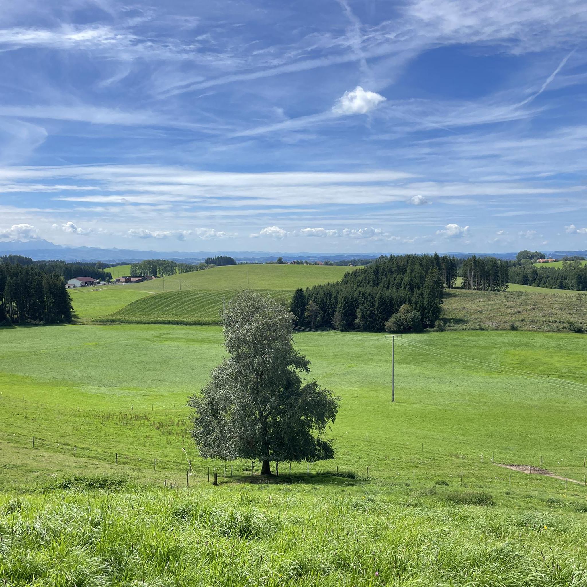
MTB Trails around Argenbühl
Road Cycling Routes around Argenbühl
Running Trails around Argenbühl
Other adventures around Argenbühl


Tips from the Community

The hiking information board is opposite the clinic.
0
0
The Rotwild Trail starts behind the Überruh Clinic.
0
0
It served the old water supply.
0
0

A very nice destination for a snowshoe hike.
2
0

The Eistobel is worth it at any time, now it costs 3.50 euros entry
0
1

A fantastic view from the Riedholzer Kugel.
0
0
Nice place to take a break with a fantastic view 🥰.
2
0
Beautiful local recreation area. Definitely worth a visit 😉.
1
0
Frequently Asked Questions
What kind of terrain can I expect on mountaineering routes around Argenbühl?
The mountaineering routes in Argenbühl traverse a diverse landscape characterized by gentle hills, dense forests, and serene lakes within the Alpine foothills. You'll encounter varying terrain, from gradual slopes to steeper ascents, offering panoramic views of the Allgäu region.
Are there any routes suitable for families with children?
While all listed mountaineering routes are rated as moderate, the region offers family-friendly options. The Red Deer Educational Trail – Kneipp Basin Allgäu loop from Hengelesweiher, for example, provides varied terrain and engaging natural surroundings. The broader Argenbühl area also features trails like the 'Adventure Trail' and 'Castle Trail' which are designed to be engaging for families, combining nature exploration with historical sites.
Where can I find impressive waterfalls along the routes?
The Eistobel Gorge is a highlight for waterfall enthusiasts. You can experience its impressive cascades on routes such as the Eistobel Gorge – Large waterfall in the Eistobel loop from Maierhöfen. Other notable waterfalls in the area include the Eistobel Waterfalls and the Upper Waterfall at the Eissteg, Eistobel.
What are the best times of year to go mountaineering in Argenbühl?
Spring and autumn are generally considered ideal seasons for mountaineering in Argenbühl due to milder temperatures and the beautiful changing scenery. These seasons offer comfortable conditions for exploring the region's forests, hills, and lakes.
Are there any circular mountaineering routes available?
Yes, many of the mountaineering routes in Argenbühl are designed as loops, allowing you to start and end at the same point. Examples include the Eistobel Gorge – Large waterfall in the Eistobel loop from Grünenbach and the Large waterfall in the Eistobel – Eistobel Gorge loop from Maierhöfen.
What do other mountaineers say about the routes in Argenbühl?
The mountaineering routes around Argenbühl are highly rated by the komoot community, with an average score of 4.0 stars. Users often praise the scenic beauty, the varied terrain, and the opportunity to experience the Alpine foothills.
Are there any historical landmarks or points of interest along the routes?
Yes, the region around Argenbühl is rich in history. While specific mountaineering routes might not directly pass through all historical sites, the broader area features attractions like the Arnsberg Castle Ruins and historic churches such as St. Sebastian Church and the Church of Ratzenried. Some trails, like the 'Castle Trail' mentioned in regional research, specifically focus on these historical elements.
What is the typical difficulty level of mountaineering routes in Argenbühl?
All the listed mountaineering routes around Argenbühl are classified as moderate difficulty. They offer a good balance of challenge and accessibility, suitable for those with a reasonable level of fitness.
Are dogs allowed on the mountaineering trails in Argenbühl?
Generally, dogs are welcome on hiking and mountaineering trails in the Argenbühl region. However, it's always advisable to keep them on a leash, especially in nature reserves or areas with wildlife, and to respect local signage regarding dog regulations.
Are there any routes that offer particularly good viewpoints?
Absolutely. The region is known for its panoramic views of the Allgäu. The Riedholzer Kugel – View from Iberg loop from Maierhöfen is a great option for scenic vistas. Additionally, the 'Panorama Trail' mentioned in regional research is specifically noted for its breathtaking views over the Allgäu's mountains and valleys.
Are there any lakes or natural reserves to explore on these routes?
Yes, the routes often incorporate serene lakes and natural reserves. The Bodenmöser Nature Reserve offers opportunities for easy hikes and views of Isny. You can also find natural lakes like Buchweiher in the area, and some routes, like the 'Drei-Seen-Tour' (Three Lakes Tour) mentioned in regional context, highlight the area's aquatic beauty.
Most popular routes around Argenbühl
Most popular attractions around Argenbühl

Get inspired with the komoot mobile app


Explore more
Browse the best Mountain Hikes & Routes in other regions.
