The best running trails around Burglauer
4.6
(267)
2,318
runners
12
runs
Jogging around Burglauer offers routes through varied terrain, characterized by gentle river valleys and open meadows. The region features a mix of paths alongside waterways like the Lauer and Saale, with some routes passing historic landmarks. Elevation changes are generally modest, making the area suitable for a range of running abilities.
Best jogging routes around Burglauer
- The most popular jogging route is Stone Monument in Saalewiese – Arch Bridge at the Saale Meadows loop from Burglauer, a 9.1 miles (14.7 km) trail that takes about 1 hour 31 minutes to complete, offering views of the Saale meadows and an arch bridge.
- Another top favourite among local runners is Sweden Stone Memorial – Novizengarten Münnerstadt loop from Burglauer, a moderate 4.7 miles (7.5 km) path that explores local historical sites and surrounding landscapes.
- Local runners also love the Dicker Turm loop from Burglauer, a 4.1 miles (6.6 km) trail leading through the local area towards the Dicker Turm landmark, often completed in about 42 minutes.
- Jogging around Burglauer is defined by river valleys, open meadows, and paths connecting to local landmarks. The network offers options for both easy and moderate ability levels.
- The routes in Burglauer are highly rated by the komoot community with an average score of 4.6 stars from over 200 reviews. More than 2000 runners have used komoot to explore Burglauer's varied terrain.
Last updated: July 2, 2026
3.8
(8)
75
runners
14.0km
01:27
40m
40m
Moderate run. Good fitness required. Mostly paved surfaces. Suitable for all skill levels.
20
runners
Moderate run. Good fitness required. Mostly paved surfaces. Suitable for all skill levels.

Sign up for free
5.0
(1)
9
runners
13.6km
01:26
150m
150m
Moderate run. Good fitness required. Mostly paved surfaces. Suitable for all skill levels.
5.0
(4)
9
runners
6.65km
00:43
80m
80m
Moderate run. Good fitness required. Mostly paved surfaces. Suitable for all skill levels.
10
runners
11.3km
01:10
40m
40m
Moderate run. Good fitness required. Mostly paved surfaces. Suitable for all skill levels.
Get access to more routes and recommendations from other explorers.
Sign up for free
Already have an account?
Our route recommendations are based on thousands of hikes, rides, and runs completed by other people on komoot.
Start today with a free account
Your next adventure awaits.
Login or Signup
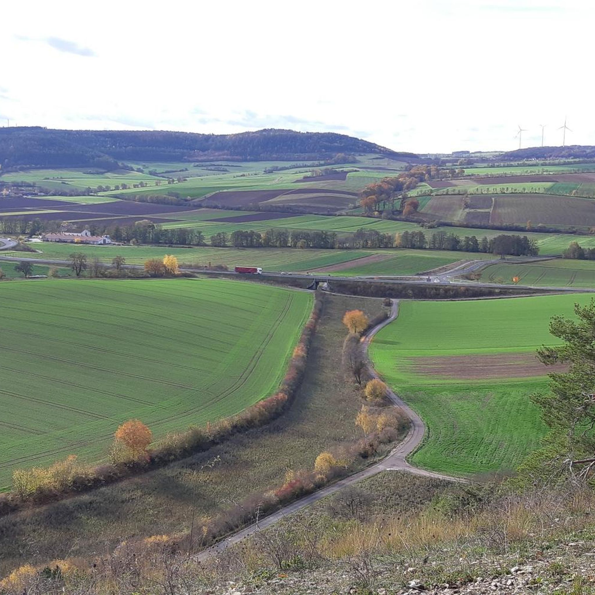
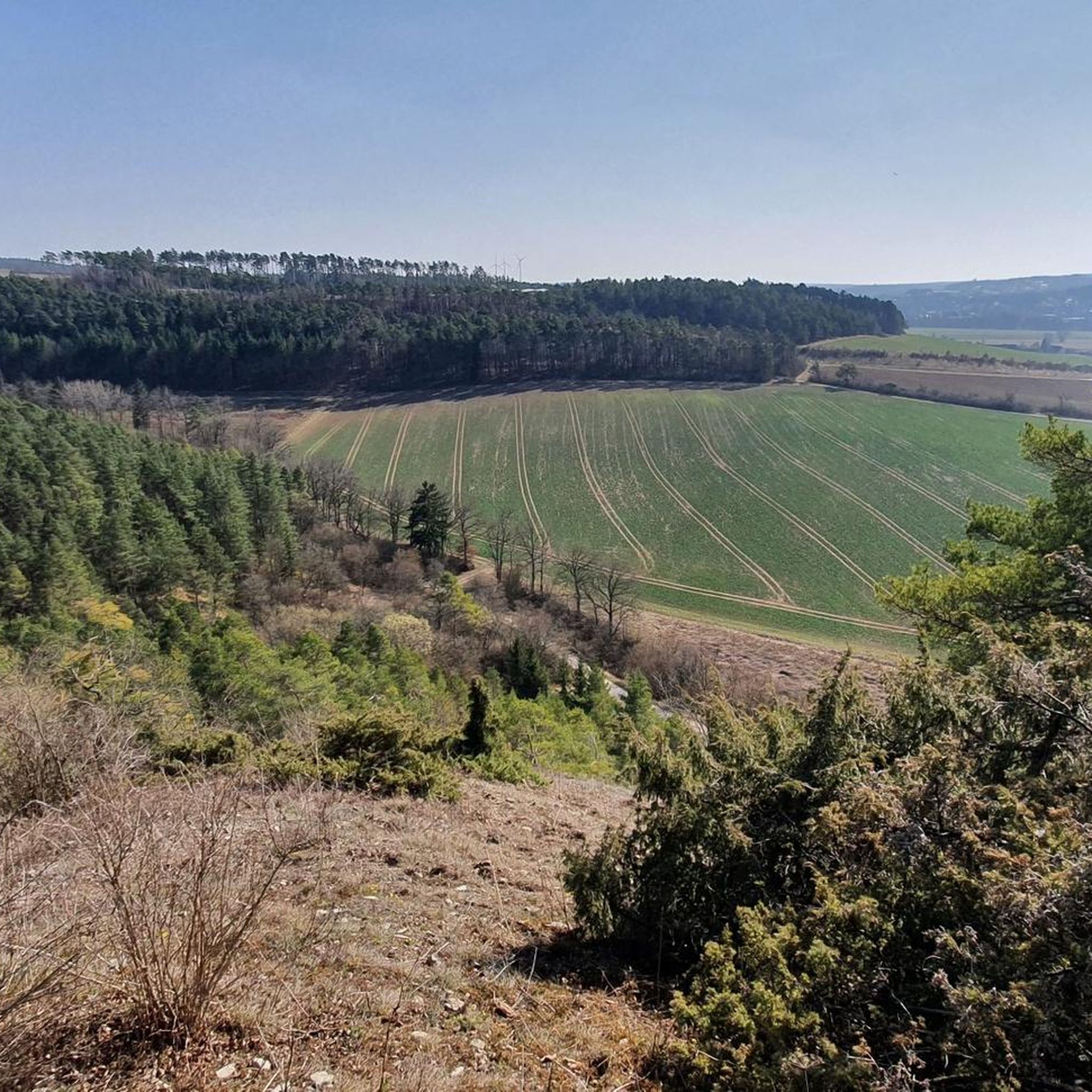
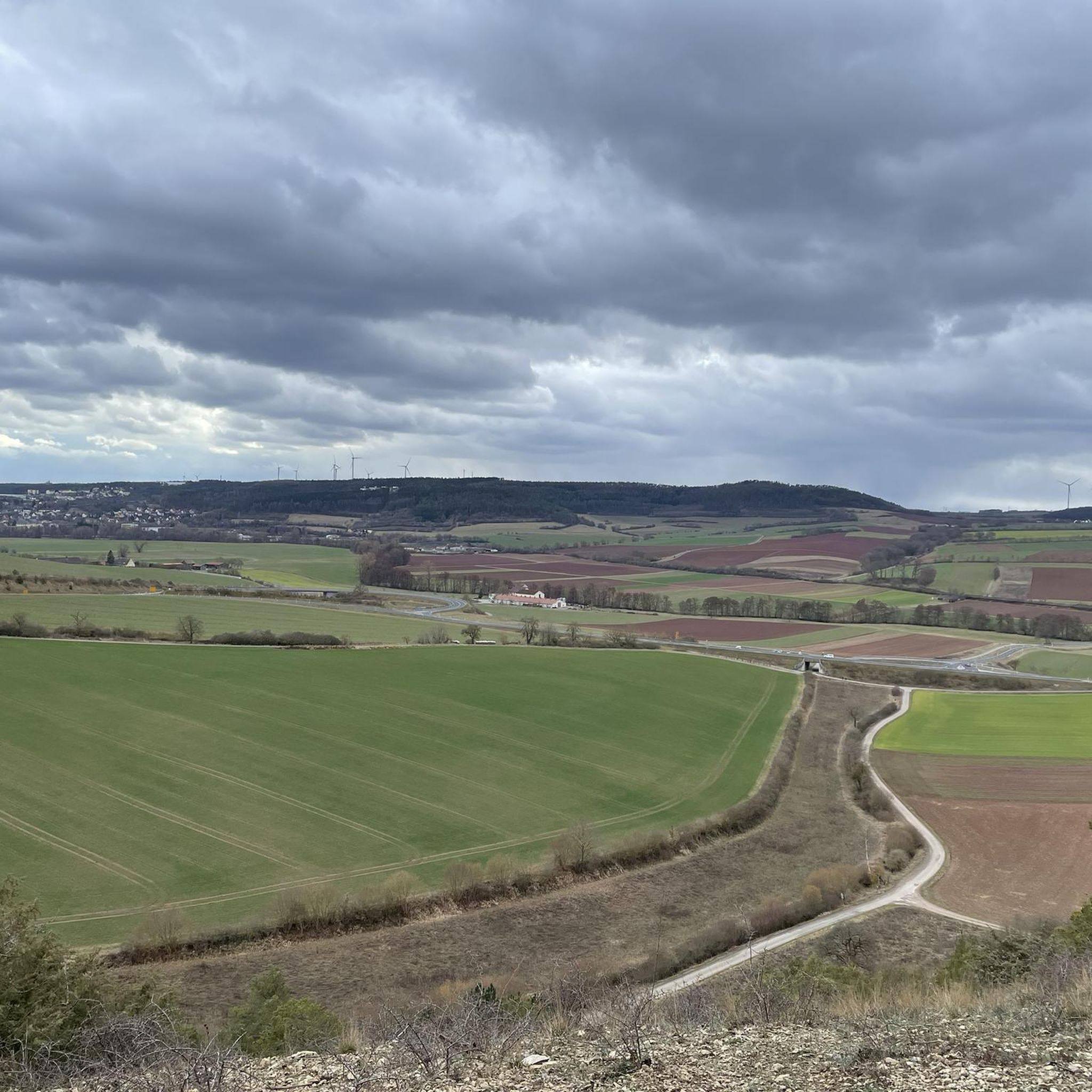
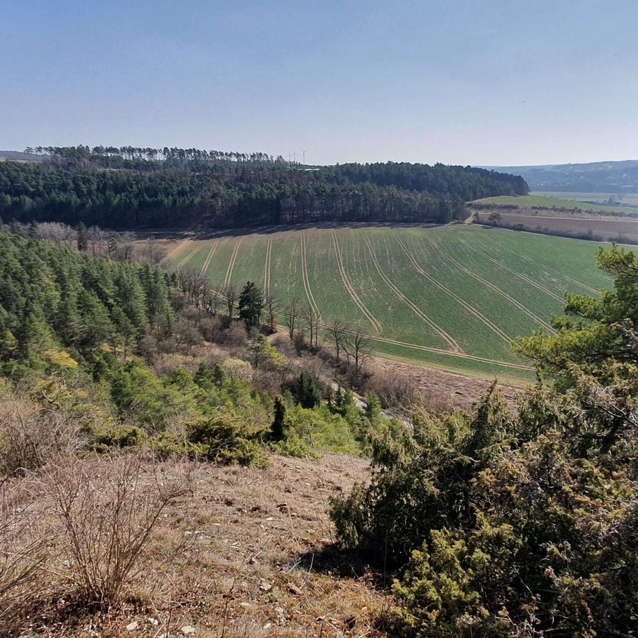

Tips from the Community

A wayside shrine, from the old German stock/stoc, 'something that rises up', in Hesse as a Heiligenstock, in Austria and Bavaria also as Marterl or Marter, Materle, Materla, Wegstock or Kreuz, in Switzerland as Helgenstöckli, is a small religious monument, a pillar made of wood or stone, usually standing on paths, which bears a sculptural or painted votive or devotional image (usually the image of a saint, a scene with saints or the crucified Christ). Source:https://de.m.wikipedia.org/wiki/Bildstock
14
0

Very beautiful car-free route through the Saale valley.
1
0

magnificent church with far-reaching roots to the year 900 as a possible part of an imperial palace
2
0
Very well maintained linden tree near the Pfaffkirche
2
0

Beautiful section on the Franconian Saale cycle path.
1
0


Hello @Johannes the position here is completely wrong! Here you are in a parking lot where there is no such stone to be found far and wide, please correct your position, thank you!
0
0
A beautiful garden unfortunately it was locked as we were there yesterday
0
0
Frequently Asked Questions
How many running routes are available around Burglauer?
Burglauer offers a selection of 11 dedicated running routes. These trails cater to various preferences, with 2 easy routes and 9 moderate options, ensuring there's something for most ability levels.
Are there any easy jogging routes suitable for beginners in Burglauer?
Yes, Burglauer has 2 easy jogging routes perfect for beginners or those looking for a relaxed run. These trails typically feature minimal elevation changes and well-maintained paths, ideal for a gentle introduction to running in the area.
What kind of scenery can I expect on the running trails in Burglauer?
The running trails in Burglauer are known for their varied scenery, often following gentle river valleys like the Lauer and Saale, and passing through open meadows. Many routes also incorporate historic landmarks, offering a blend of natural beauty and cultural interest. For example, the Stone Monument in Saalewiese – Arch Bridge at the Saale Meadows loop from Burglauer offers picturesque views of the Saale meadows.
Are there any circular running routes in the Burglauer area?
Yes, many of the running routes around Burglauer are designed as loops, allowing you to start and finish at the same point. A great example is the Dicker Turm loop from Burglauer, which takes you through the local area and past the historic Dicker Turm landmark.
What do other runners say about the trails in Burglauer?
The running trails in Burglauer are highly regarded by the komoot community, boasting an average rating of 4.6 stars from over 245 reviews. Runners frequently praise the region's varied terrain, the well-maintained paths, and the scenic beauty of the river valleys and meadows.
Are there any historical landmarks or attractions along the running routes?
Yes, several running routes in Burglauer pass by interesting historical sites. For instance, the Sweden Stone Memorial – Novizengarten Münnerstadt loop from Burglauer explores local historical sites. Additionally, you can find nearby attractions such as the Ruins of Botenlauben Castle or Aschach Castle, which are accessible from the wider region.
Can I find running routes that follow waterways in Burglauer?
Absolutely. The region is characterized by its river valleys. Many routes, such as the Along the Lauer loop from Burglauer, closely follow waterways like the Lauer and Saale, offering pleasant riverside running experiences.
What is the typical length of running routes in Burglauer?
The running routes in Burglauer vary in length. For example, you can find shorter runs like the Dicker Turm loop from Burglauer at 4.1 miles (6.6 km), or longer options such as the Stone Monument in Saalewiese – Arch Bridge at the Saale Meadows loop from Burglauer, which spans 9.1 miles (14.7 km).
Is Burglauer suitable for family-friendly running or walking?
Given the generally modest elevation changes and the presence of easy routes, Burglauer is well-suited for family-friendly running or walking. The scenic river paths and open meadows provide a pleasant environment for all ages to enjoy the outdoors.
Are there any specific considerations for running in Burglauer during winter?
While Burglauer's trails are accessible year-round, winter conditions can vary. It's advisable to check local weather forecasts for snow or ice, especially on less-trafficked paths. The river valleys tend to be more sheltered, but proper winter running gear is always recommended.
Are the running trails in Burglauer generally crowded?
Burglauer offers a good mix of popular and quieter trails. While some routes, especially those near popular landmarks, might see more activity, there are also less crowded options available, particularly during off-peak hours or on the slightly longer routes like the Running loop from Burglauer.
Most popular routes around Burglauer
Most popular attractions around Burglauer

Get inspired with the komoot mobile app


Explore more
Browse the best Running Trails & Routes in other regions.
