The best road cycling routes around Ballinlea Lower
5.0
(1)
215
riders
17
rides
Road cycling routes around Ballinlea Lower offer diverse terrain and elevation, situated amidst the scenic Causeway Coast in County Antrim, Northern Ireland. The region is characterized by a rugged coastline, verdant hills, and charming villages, providing varied cycling experiences. Cyclists can expect well-paved surfaces on many routes, with some paths including unpaved segments that require good fitness. This area serves as a gateway to explore natural beauty and cultural heritage on two wheels.
Best road cycling routes around Ballinlea Lower
…Last updated: July 12, 2026
5.0
(1)
19
riders
135km
06:56
2,070m
2,070m
Hard road ride. Very good fitness required. Some segments of this route may be unpaved and difficult to ride.
18
riders
84.3km
03:54
940m
940m
Hard road ride. Very good fitness required. Mostly well-paved surfaces and easy to ride.

Sign up for free
17
riders
41.9km
01:57
390m
390m
Moderate road ride. Good fitness required. Mostly well-paved surfaces and easy to ride.
5
riders
36.3km
01:37
260m
260m
Easy road ride. Great for any fitness level. Mostly well-paved surfaces and easy to ride.
6
riders
40.0km
01:49
390m
390m
Moderate road ride. Good fitness required. Mostly well-paved surfaces and easy to ride.
Get access to more routes and recommendations from other explorers.
Sign up for free
Already have an account?
Our route recommendations are based on thousands of hikes, rides, and runs completed by other people on komoot.
Start today with a free account
Your next adventure awaits.
Login or Signup
Popular around Ballinlea Lower

Tips from the Community

Not as impressive in nature anymore, some trees or branches have been removed.
0
0


Absolutely overrated. Many trees have been broken or cut down. Completely overcrowded during normal daytime. You really don't have to go there...only if it's on your way.
1
0

Great café, friendly service, great food closed on Sundays/Mondays, otherwise until 5pm (as of Oct 2024)
0
0
A very nice little place. The free car park is very central and spacious. The entrance height is stated as 1.95m. In our case, the height bar was set aside and therefore open.
1
0
Frequently Asked Questions
What kind of terrain and elevation can I expect on road cycling routes around Ballinlea Lower?
Road cycling around Ballinlea Lower, situated on the Causeway Coast, offers diverse terrain. You'll encounter rugged coastlines, verdant hills, and charming villages. Routes can vary from well-paved surfaces to some segments that may be unpaved, requiring good fitness. Expect significant elevation changes on many routes, especially those exploring the coastal and valley areas, providing challenging climbs and rewarding descents.
What landmarks and natural features can I see while road cycling near Ballinlea Lower?
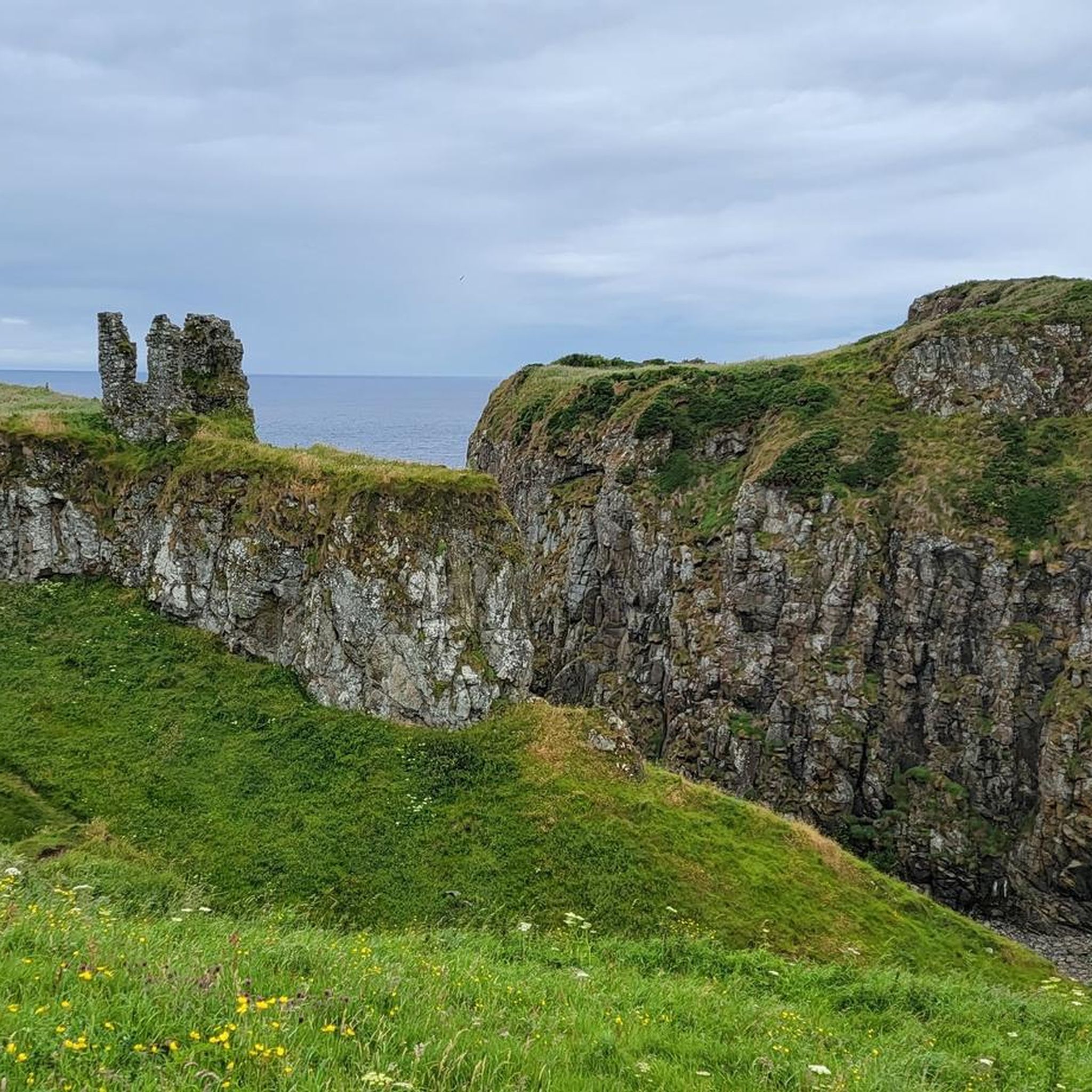
The region is rich in iconic landmarks and natural beauty. You can cycle past the dramatic ruins of Dunseverick Castle, or explore routes that offer views towards the world-famous Giant's Causeway. Other notable features include The Dark Hedges and the picturesque Ballintoy Harbour. Many routes provide stunning coastal vistas and opportunities to see unique geological formations like The Organ at the Giant's Causeway.
Are there convenient parking options for cyclists in the Ballinlea Lower area?
Yes, as a popular outdoor destination, the wider area around Ballinlea Lower and nearby towns like Ballycastle and Bushmills offers various parking facilities. Many starting points for cycling routes, especially near major attractions or towns, will have designated parking areas suitable for cyclists. It's advisable to check specific route details for recommended parking locations.
Can I access road cycling routes around Ballinlea Lower using public transport?
Public transport options are available in the region, connecting Ballinlea Lower to larger towns like Ballycastle and Bushmills. While buses operate, carrying bicycles on public transport can sometimes be restricted or require specific arrangements. For direct access to route starting points, driving with a bike rack is often the most convenient option, but checking local bus services for their bike policies is recommended.
When is the best time of year to go road cycling in Ballinlea Lower?
The best time for road cycling in Ballinlea Lower is generally from spring through autumn (April to October). During these months, the weather is typically milder, with longer daylight hours and less rainfall, making for more enjoyable rides. Summer offers the warmest temperatures and longest days, while spring and autumn provide beautiful scenery with fewer crowds. Winter cycling is possible but can be challenging due to colder temperatures, shorter days, and potentially wet and windy conditions.
Are there family-friendly road cycling routes suitable for all ages?
While many road cycling routes in the Ballinlea Lower area feature significant elevation and can be challenging, there are options suitable for families or those seeking a more relaxed ride. Look for routes with less elevation gain and on well-paved surfaces. For instance, routes closer to towns or along flatter coastal sections might be more appropriate. Always check the route's difficulty and elevation profile before setting out with family.
Are road cycling routes around Ballinlea Lower suitable for cycling with dogs?
Road cycling routes are primarily designed for human cyclists on paved or well-maintained surfaces. While some dogs can run alongside bikes, this is generally not recommended on public roads due to safety concerns for both the dog and cyclist, especially given the varied terrain and potential traffic in the Ballinlea Lower area. For cycling with dogs, dedicated off-road trails or paths where dogs can be safely leashed are usually more suitable, but these are less common for traditional road cycling.
Are there places to stop for refreshments or accommodation along the routes?
Yes, the region around Ballinlea Lower is well-equipped with amenities for visitors. Towns like Ballycastle, Bushmills, and Ballintoy, which many routes pass through or near, offer a variety of cafes, pubs, and restaurants for refreshments. You'll also find accommodation options ranging from B&Bs to hotels. It's a good idea to plan your route to include stops in these villages for breaks.
Are most road cycling routes around Ballinlea Lower circular?
Many of the popular road cycling routes around Ballinlea Lower are designed as loops, allowing you to start and finish at the same point without retracing your steps. For example, the Waterfoot Beach – View of Torr Head loop from Kinbane Castle and the Ballycastle Beach – View of Glendun Valley loop from Ballycastle are excellent examples of circular routes that offer diverse scenery.
What do other road cyclists enjoy the most about road cycling in Ballinlea Lower?
The area is highly rated by the komoot community, with an average score of 5.0 stars. Reviewers often praise the stunning coastal views, the challenging yet rewarding climbs, and the opportunity to explore iconic landmarks like the Giant's Causeway and Dunluce Castle. The diverse terrain and the blend of natural beauty with cultural heritage are frequently highlighted as key attractions for road cyclists.
How many road cycling routes are available around Ballinlea Lower?
There are over 20 road cycling routes available around Ballinlea Lower, offering a wide range of distances and difficulties. This includes routes suitable for moderate rides as well as more challenging options with significant elevation gain, ensuring there's something for every road cyclist.
Are there any easier road cycling routes for beginners or those seeking a more relaxed ride?
Yes, among the routes around Ballinlea Lower, there are several classified as easy or moderate, which are more suitable for beginners or those looking for a less strenuous experience. These routes typically feature less elevation gain and cover shorter distances. An example of a moderate route is the Ursa Minor – Bushmills Railway Station loop from Ballycastle, which offers coastal landscapes and historic sites over a manageable distance.
What are some longer or more challenging road cycling routes in the area?
For experienced road cyclists seeking a challenge, the Ballinlea Lower area offers several difficult routes with substantial distances and elevation. The Waterfoot Beach – View of Torr Head loop from Kinbane Castle is a demanding 83.7-mile route with over 2,000 meters of elevation gain. Another challenging option is the Ballycastle Beach – View of Glendun Valley loop from Ballycastle, covering 52 miles with significant climbs and panoramic views.
Most popular routes around Ballinlea Lower
Most popular attractions around Ballinlea Lower

Get inspired with the komoot mobile app


Explore more
Browse the best Road cycling routes in other regions.
