The best running trails around Kälberberg
4.2
(317)
1,528
runners
130
runs
Jogging around Kälberberg offers routes through a forested mountain landscape within the Rhön region of Lower Franconia, Germany. This area is characterized by varied terrain, including rolling hills and extensive forest paths, providing a dynamic environment for runners. Kälberberg itself is a 426-meter-high forested mountain, offering moderate elevation changes suitable for diverse running experiences. The region's natural beauty is preserved within the Bavarian Rhön Nature Park.
Best jogging routes around Kälberberg
- The most popular jogging route is Linden arbor below…
Last updated: October 5, 2026
4.6
(5)
55
runners
Moderate run. Good fitness required. Mostly paved surfaces. Suitable for all skill levels.
4.7
(9)
41
runners
Moderate run. Good fitness required. Mostly paved surfaces. Suitable for all skill levels.

5.0
(2)
17
runners
8.37km
00:55
170m
170m
Moderate run. Good fitness required. Mostly paved surfaces. Suitable for all skill levels.
5.0
(2)
19
runners
Hard run. Very good fitness required. Mostly paved surfaces. Suitable for all skill levels.
10
runners
10.6km
01:08
130m
130m
Moderate run. Good fitness required. Mostly paved surfaces. Suitable for all skill levels.
Get access to more routes and recommendations from other explorers.
Already have an account?
Our route recommendations are based on thousands of hikes, rides, and runs completed by other people on komoot.
Start today with a free account
Your next adventure awaits.
Tips from the Community

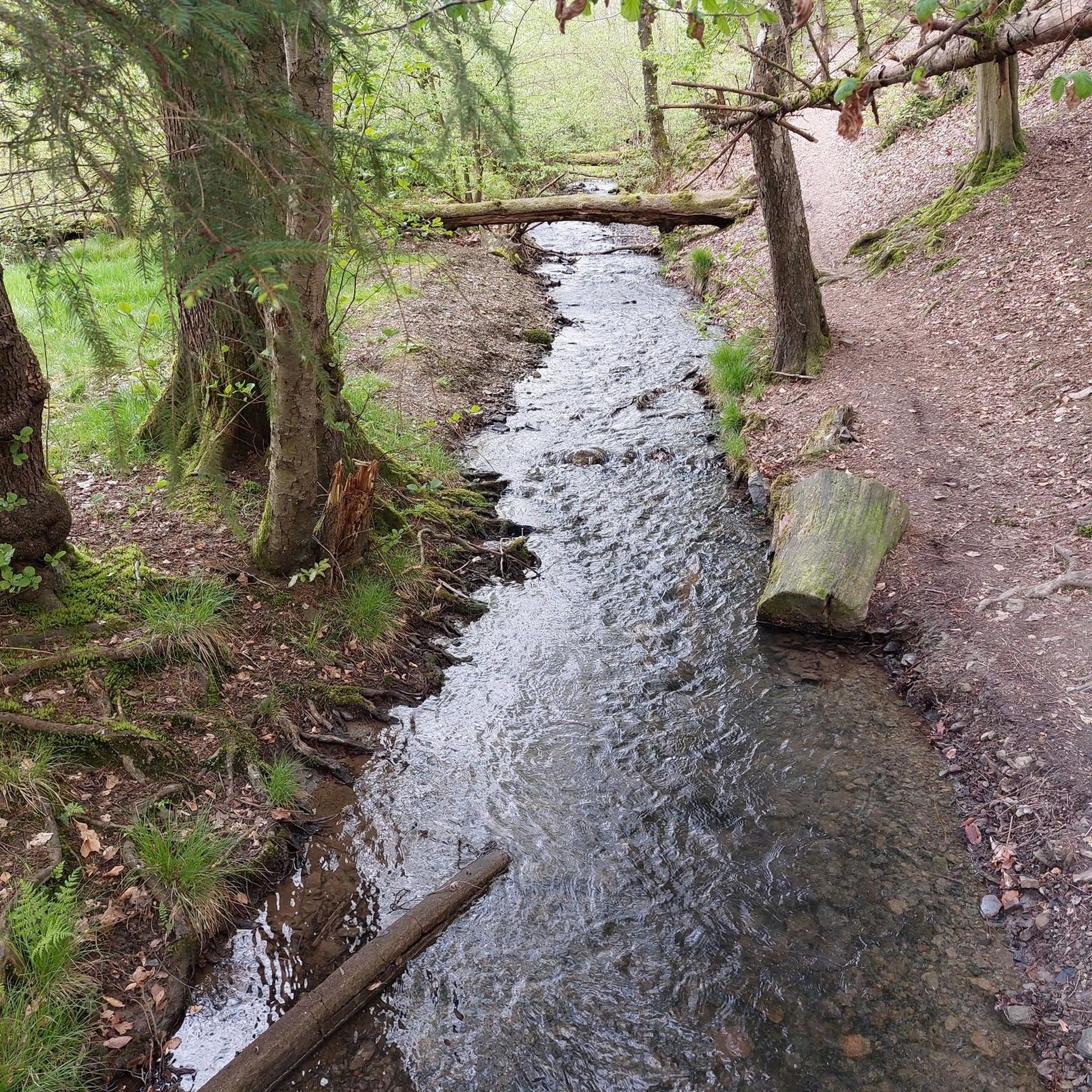
The approximately 70 km long Sinn is the largest tributary of the Fränkische Saale in the German states of Bavaria and Hesse. It rises in the Rhön and flows predominantly southwards. Its confluence with the Fränkische Saale is shortly before its confluence with the Main. Source: Wikipedia
1
0
The Sinn, approximately 70 km long, is the largest tributary of the Fränkische Saale in the German states of Bavaria and Hesse. It originates in the Rhön and flows predominantly southwards. Its confluence with the Fränkische Saale is shortly before its confluence with the Main. Source: Wikipedia
1
0
The approximately 70 km long Sinn is the largest tributary of the Fränkische Saale in the German states of Bavaria and Hesse. It originates in the Rhön and flows predominantly south. Its confluence with the Fränkische Saale is shortly before its confluence with the Main. Source: Wikipedia
1
0

Very nice small café with homemade cakes.
1
0

This pergola has grown beautifully.
6
0

The church was built between 1737 and 1740.
0
0


A very nice bike path
4
0
Frequently Asked Questions
How many running routes are available around Kälberberg?
There are over 120 running routes around Kälberberg, offering a wide variety of options for different preferences and fitness levels. More than 1000 runners have used komoot to explore this region.
What kind of terrain can I expect on the jogging trails near Kälberberg?
The Kälberberg area, nestled within the Rhön region, offers a diverse running experience. You'll find a mix of sweeping views, unforested heights, expansive plateaus, and rolling hills. Many trails wind through shady beech and mixed pine forests, providing natural shade and softer surfaces. Moderate elevation changes are common, offering a good workout without being overly strenuous.
Are there easy running paths suitable for beginners or families?
Yes, Kälberberg offers several easy running paths. Out of the 123 available routes, 10 are classified as easy, making them suitable for beginners or those looking for a more relaxed run. The Rhönexpress Rail Trail, for example, is known for its gentle gradient and smooth surface, making it ideal for an accessible and pleasant experience.
Are there more challenging running trails for experienced runners?
Absolutely. For experienced runners seeking a greater challenge, there are 18 routes classified as difficult around Kälberberg. These trails often feature more significant elevation gains and varied terrain. An example of a challenging route is the Zeitlofs Castle – Rhönexpress Rail Trail loop from Struth von Altengronau, which covers over 21 km with substantial elevation changes.
What do other runners say about the trails around Kälberberg?
The running routes in Kälberberg are highly rated by the komoot community, with an average score of 4.4 stars from over 260 reviews. Runners frequently praise the varied terrain, the beauty of the forested mountains, and the open vistas that many routes provide.
Are there any interesting sights or landmarks to see while running near Kälberberg?
Yes, several routes pass by interesting sights. For instance, you can run through the beautiful Bad Brückenau Spa Park. Other notable landmarks in the broader area include historical sites like the Ramholz Castle and the Ruins of Steckelberg Castle, which can be incorporated into longer running excursions.
Are the running routes around Kälberberg dog-friendly?
While specific regulations can vary, the Rhön region, including Kälberberg, is generally welcoming to dogs on trails, especially within the extensive forest networks. It's always recommended to keep dogs on a leash, especially in nature protection areas, and to be mindful of wildlife and other trail users. Always carry water for your dog and clean up after them.
Where can I find parking near the running trails in Kälberberg?
Parking availability varies by trailhead. Many popular starting points for running routes, particularly those near towns or villages like Wernarz, Eckarts, or Erlenberg bei Weichersbach, often have designated parking areas. It's advisable to check the specific route details on komoot for parking information related to your chosen starting point.
How can I reach the running trails around Kälberberg by public transport?
Public transport options to Kälberberg and the surrounding Rhön region exist, though they might require some planning. Bus services connect larger towns in the Rhön. For specific trailheads, it's best to research local bus schedules to determine the closest stops. The Rhönexpress Rail Trail, for example, follows a former railway line, and some sections might be accessible via public transport connections to nearby towns.
Are there circular running routes available in the Kälberberg area?
Yes, many of the running routes around Kälberberg are circular, allowing you to start and end at the same point without retracing your steps. Examples include the popular Linden arbor below the Fürstenhof – Beaver Platform Sinnaue loop from Wernarz and the Haag Spring loop from Erlenberg bei Weichersbach.
What are some longer running options for endurance training?
For longer endurance runs, consider routes that incorporate sections of the extensive Rhön trail network. The Zeitlofs Castle – Rhönexpress Rail Trail loop from Struth von Altengronau is a challenging option at over 21 km. The Rhön region also features the 180 km premium Hochrhöner Trail, and while not a single jogging route, sections of it can be combined for significant distances.
What is the best time of year for running in Kälberberg?
Kälberberg and the Rhön region offer excellent running conditions throughout much of the year. Spring and autumn provide pleasant temperatures and beautiful scenery with blooming flora or vibrant fall colors. Summer is also suitable, especially on forested trails that offer shade. Winter running is possible, but trails may be snowy or icy, requiring appropriate gear and caution.
Most popular attractions around Kälberberg

Get inspired with the komoot mobile app


Explore more
Browse the best Running Trails & Routes in other regions.
