The best running trails around Forst Detter-Süd
4.1
(196)
1,632
runners
104
runs
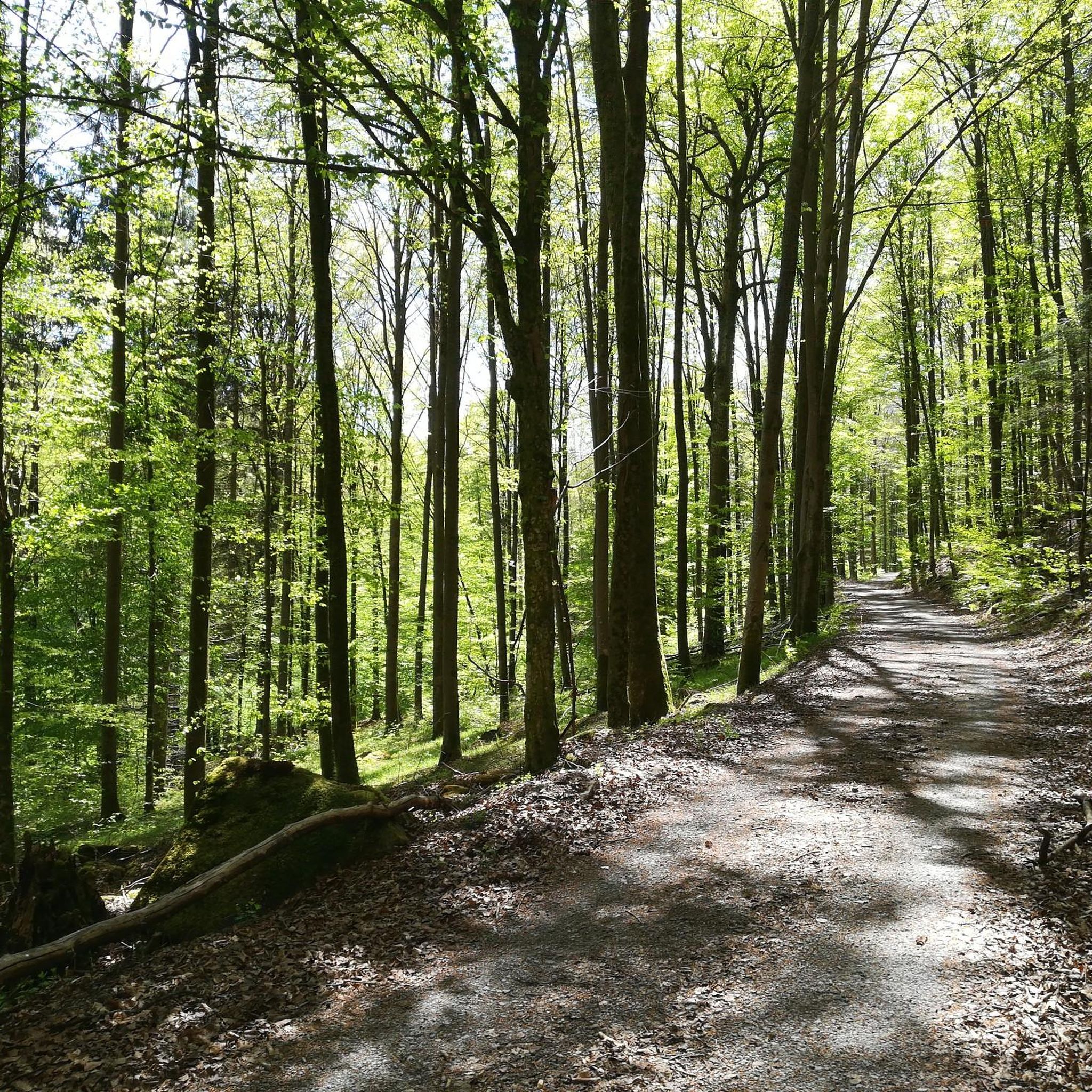
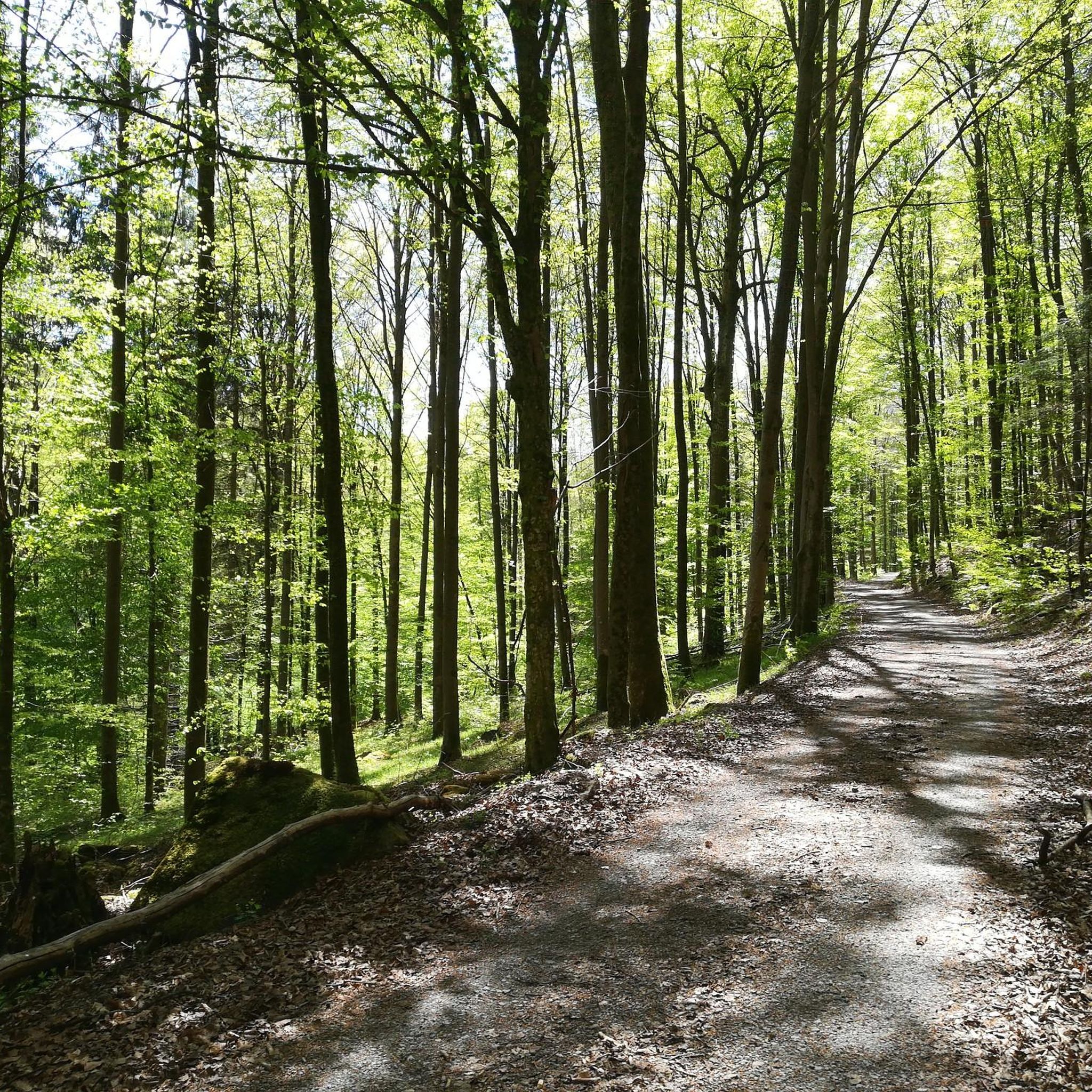
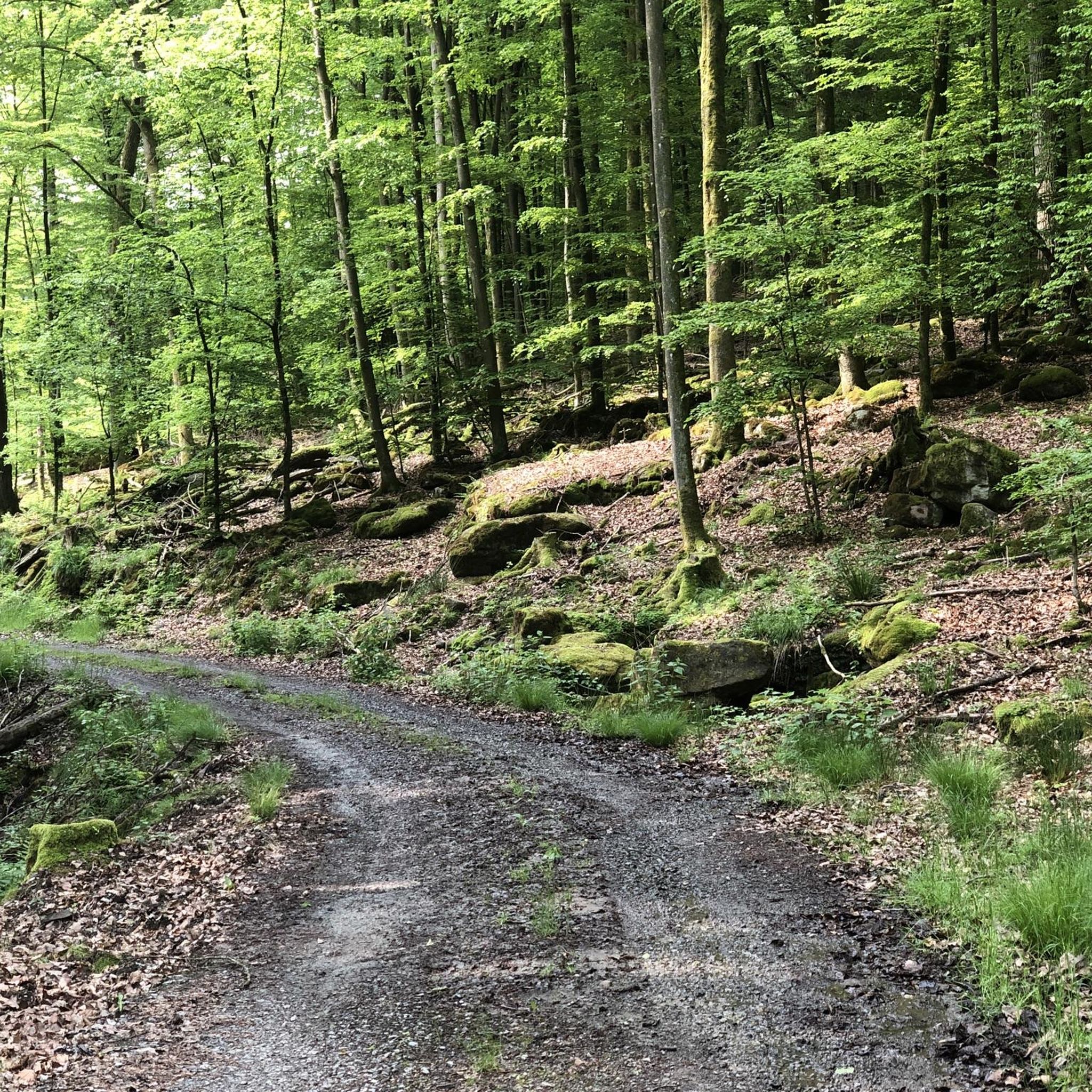
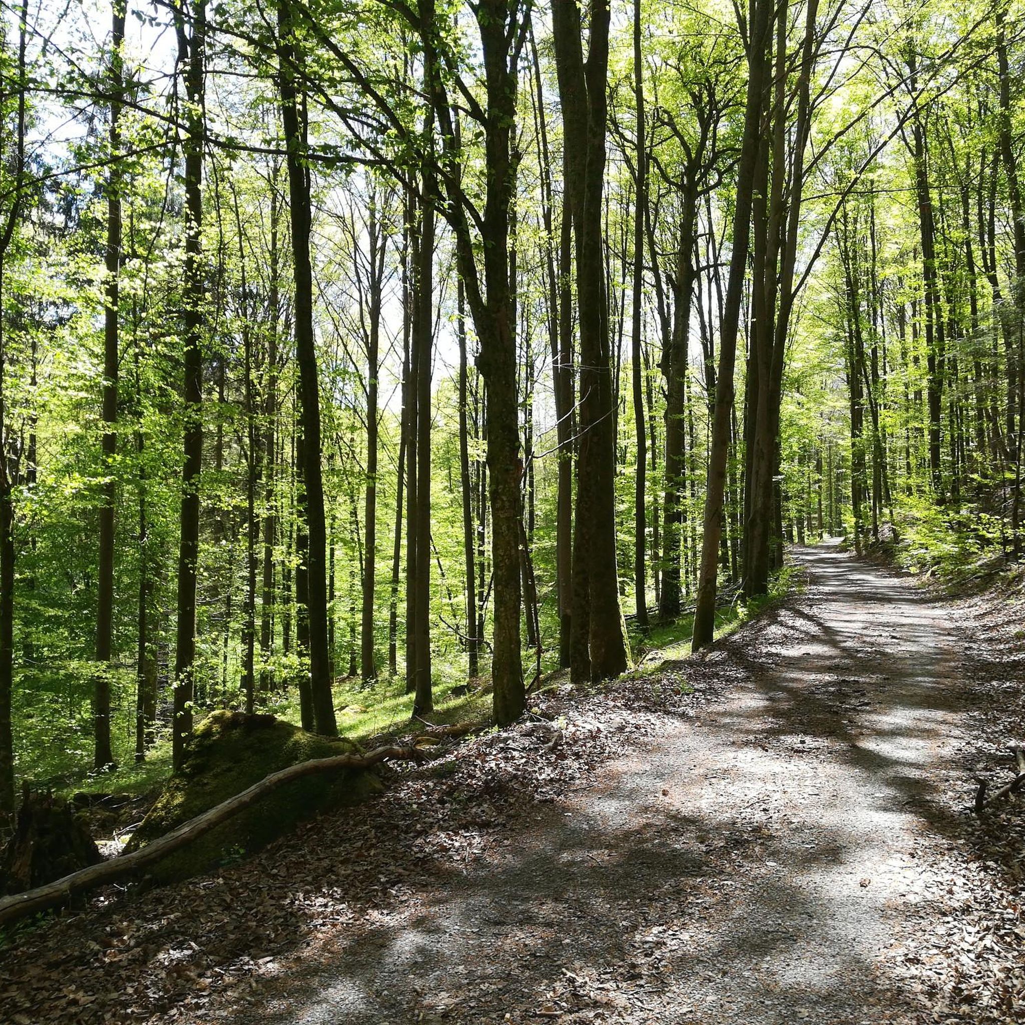
Jogging around Forst Detter-Süd offers an excellent setting for outdoor activities within its entirely wooded area. The region is characterized by expansive woodlands and diverse topography, with varying elevations that contribute to a range of running experiences. This area is integrated into a broader network of trails within the Bad Kissingen district, featuring paths through dense forests, rolling hills, and along the Fränkische Saale river. Many running routes are on mostly paved paths, making them accessible for general jogging.
Best…
Last updated: July 2, 2026
10
runners
10.6km
01:08
130m
130m
Moderate run. Good fitness required. Mostly paved surfaces. Suitable for all skill levels.
2.0
(1)
6
runners
11.8km
01:23
270m
270m
Moderate run. Good fitness required. Mostly paved surfaces. Suitable for all skill levels.

Sign up for free
5.0
(1)
8
runners
11.5km
01:14
90m
90m
Moderate run. Good fitness required. Mostly paved surfaces. Suitable for all skill levels.
10
runners
13.4km
01:26
110m
110m
Moderate run. Good fitness required. Mostly paved surfaces. Suitable for all skill levels.
3
runners
10.7km
01:11
120m
120m
Moderate run. Good fitness required. Mostly paved surfaces. Suitable for all skill levels.
Get access to more routes and recommendations from other explorers.
Sign up for free
Already have an account?
Our route recommendations are based on thousands of hikes, rides, and runs completed by other people on komoot.
Start today with a free account
Your next adventure awaits.
Login or Signup
Tips from the Community

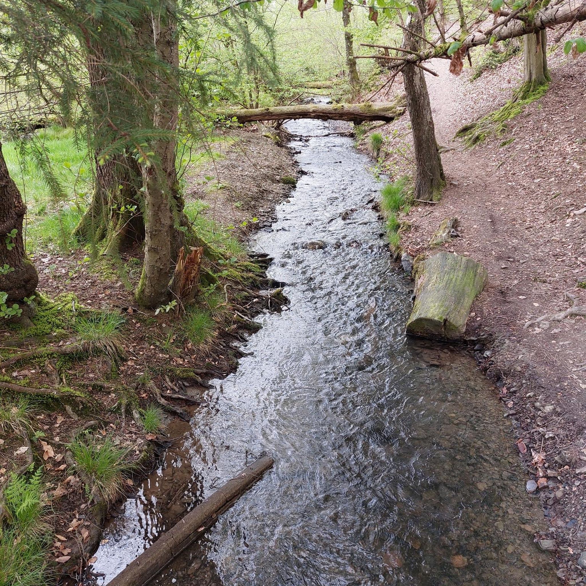
The approximately 70 km long Sinn is the largest tributary of the Fränkische Saale in the German states of Bavaria and Hesse. It rises in the Rhön and flows predominantly southwards. Its confluence with the Fränkische Saale is shortly before its confluence with the Main. Source: Wikipedia
1
0
The approximately 70 km long Sinn is the largest tributary of the Fränkische Saale in the German states of Bavaria and Hesse. It originates in the Rhön and flows predominantly south. Its confluence with the Fränkische Saale is shortly before its confluence with the Main. Source: Wikipedia
1
0

Kleinhenz Country Distillery
0
0

The church was built between 1737 and 1740.
0
0

A very nice bike path
4
0
A nice rest area on the bike path
3
0
Frequently Asked Questions
How many running routes are available in Forst Detter-Süd?
Forst Detter-Süd offers a wide selection of running routes, with over 100 trails available for you to explore. These routes cater to various fitness levels, from easy jogs to more challenging runs.
What kind of terrain can I expect on the jogging trails in Forst Detter-Süd?
The jogging trails in Forst Detter-Süd are primarily characterized by expansive woodlands and diverse topography. Many routes feature mostly paved paths, making them accessible for general jogging. You'll find varying elevations, offering a range of running experiences from moderate paths to those requiring good basic fitness.
Are there running routes suitable for beginners or those looking for an easier jog?
Yes, Forst Detter-Süd has several options for easier jogs. There are 10 routes specifically rated as 'easy' within the area, perfect for beginners or those seeking a more relaxed run.
Can I find more challenging running trails in Forst Detter-Süd?
Absolutely. For runners seeking a greater challenge, Forst Detter-Süd offers 17 routes rated as 'difficult'. These trails typically feature more significant elevation changes and varied terrain, providing a more intense workout.
Are there any circular running routes in the area?
Many of the running routes in Forst Detter-Süd are designed as loops, offering convenient circular paths. For example, the Pond with Memorial Stones loop from Schwärzelbach is a popular moderate 7.3-mile (11.8 km) option that winds through forested areas.
What natural attractions or landmarks can I see while running in Forst Detter-Süd?
While Forst Detter-Süd itself is primarily forested, the wider Bad Kissingen district offers several natural attractions. You might encounter features like the Franconian Saale Riverside Cycle Path or the serene Bad Brückenau Spa Park. Some routes also pass by memorial stones or offer views of the Sinn River valley.
Are there any routes that pass by water features like lakes or rivers?
Yes, several running routes incorporate water features. For instance, the Beaver Platform Sinnaue – Sinn River loop from Kälberberg leads through the Sinn River valley. Additionally, the region around Forst Detter-Süd features various lakes and ponds, such as the Heiligkreuz Fish Ponds or Klingensee, which can be explored on nearby routes.
Is it possible to see a waterfall on a running route near Forst Detter-Süd?
Yes, if you're looking to incorporate a waterfall into your run, the Trettstein Waterfall is a notable natural monument in the broader area around Forst Detter-Süd. You can find routes that pass close to or lead to this scenic spot.
Is Forst Detter-Süd easily accessible by public transport for runners?
While Forst Detter-Süd is an unincorporated, entirely wooded area, the wider Bad Kissingen district has public transport options. However, direct public transport access specifically to the heart of Forst Detter-Süd for trailheads might be limited. It's advisable to check local transport schedules for connections to nearby towns like Kälberberg or Schwärzelbach, which serve as starting points for many routes.
Are there parking options available for runners in Forst Detter-Süd?
Yes, for those driving, parking is generally available near the starting points of many popular running routes in and around Forst Detter-Süd. Look for designated parking areas in the vicinity of towns like Kälberberg or Schwärzelbach, which are common access points for the trails.
Are the running trails in Forst Detter-Süd suitable for families?
Many of the running routes in Forst Detter-Süd, especially the easier and moderate ones, can be suitable for families. The serene, forested environment provides a pleasant setting. Consider routes with less elevation gain and well-maintained paths for a more family-friendly experience.
Are dogs allowed on the jogging trails in Forst Detter-Süd?
Generally, dogs are welcome on trails in natural areas like Forst Detter-Süd, provided they are kept under control, often on a leash, and owners clean up after them. Given the area's natural, forested character, it's a great place to run with your canine companion. Always respect local signage regarding dog regulations.
What do other runners enjoy the most about jogging in Forst Detter-Süd?
The running routes in Forst Detter-Süd are highly rated by the komoot community, with an average score of 4.2 stars from over 150 reviews. Runners often praise the peaceful, completely forested environment, the variety of terrain, and the well-integrated network of trails that cater to different fitness levels.
Most popular attractions around Forst Detter-Süd

Get inspired with the komoot mobile app


Explore more
Browse the best Running Trails & Routes in other regions.
