The best mountain hikes around Patersdorf
4.6
(12)
109
hikers
25
hikes
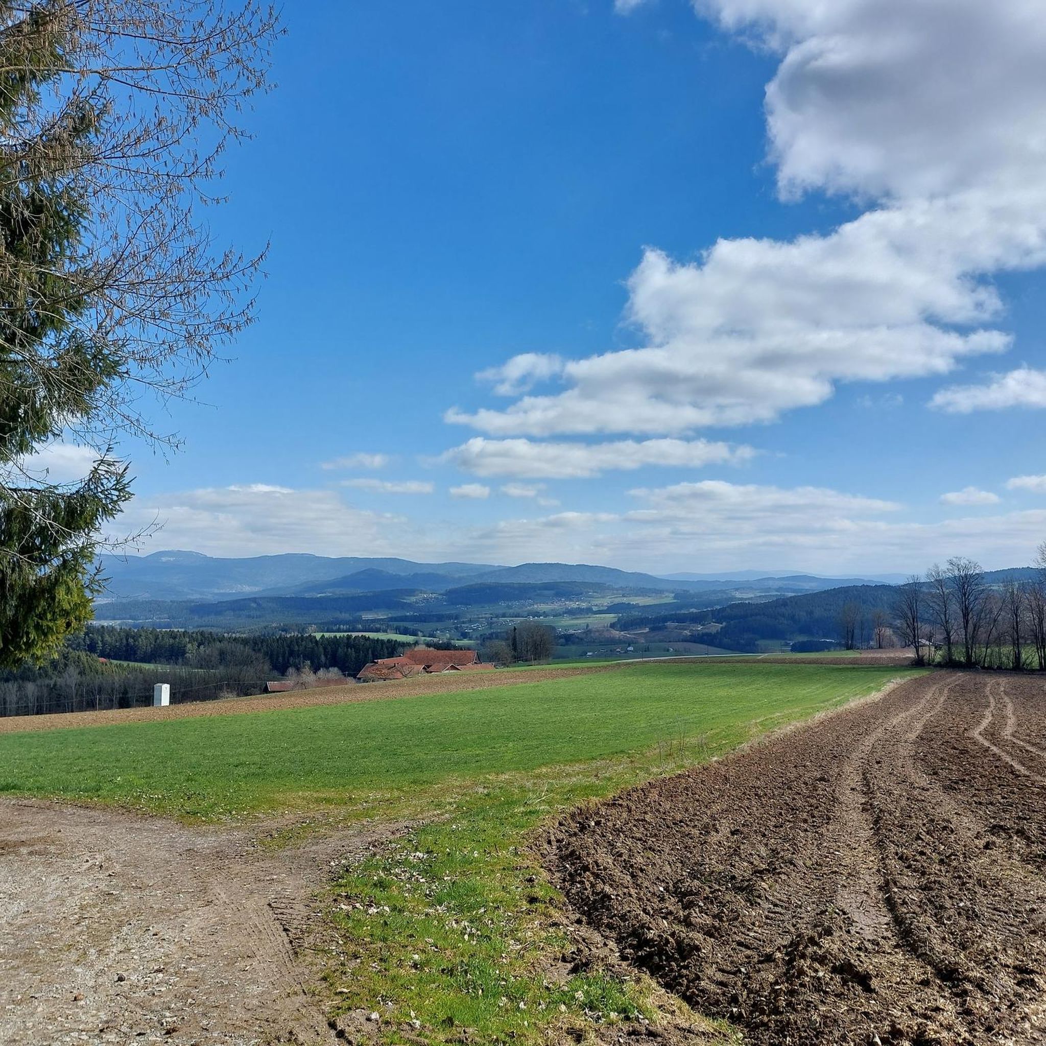
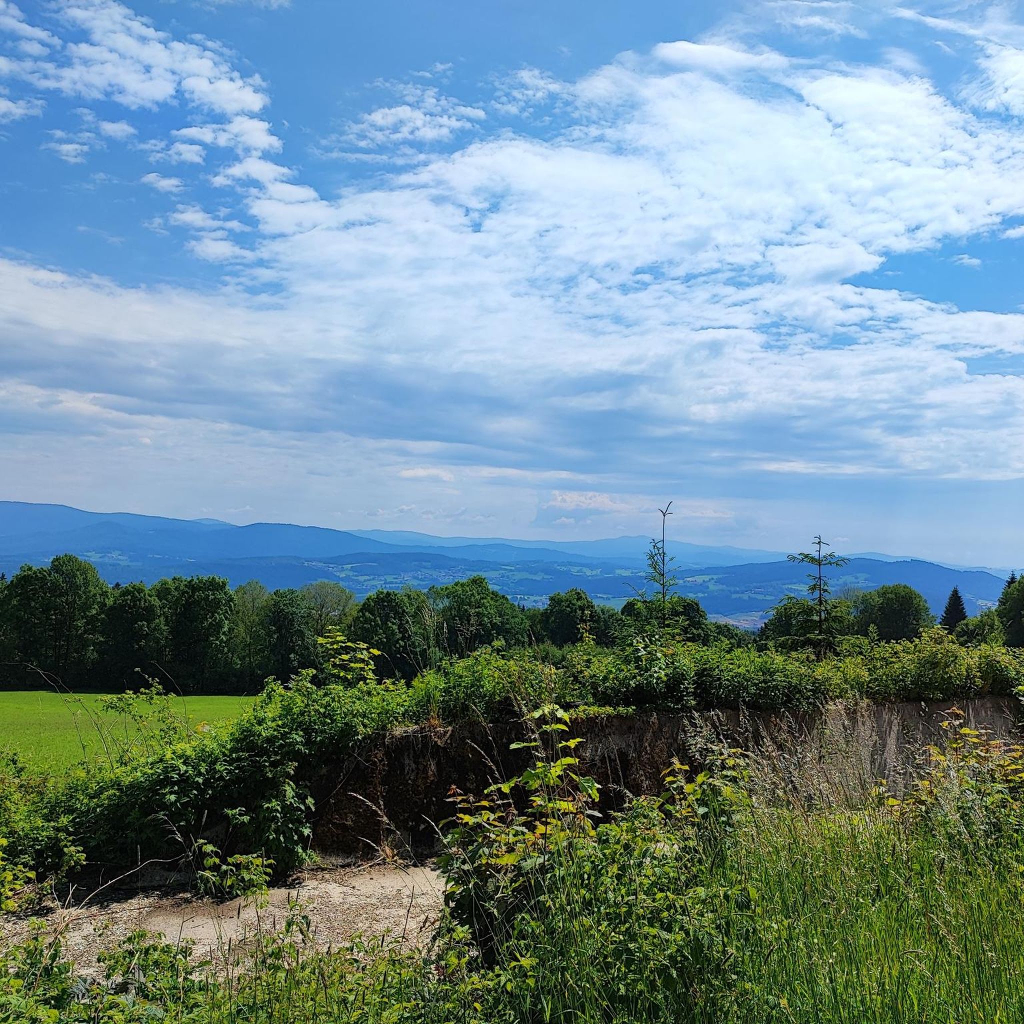
Mountaineering routes around Patersdorf are set within the Bavarian Forest, a landscape defined by dense forests, rolling hills, and accessible mountain peaks. The region offers varied terrain, from gentle forest paths to more challenging ascents leading to panoramic viewpoints. Peaks like Hirschenstein provide significant trail hubs and expansive vistas across the forest.
Best mountaineering routes around Patersdorf
- The most popular mountaineering route is Klausenstein Summit Cross – Hirschenstein loop from Naturpark Bayerischer Wald, a 5.9 miles (9.4 km) trail that takes 3 hours 2 minutes to complete, offering views from the Hirschenstein summit.
- Another top favourite among local mountaineers is Hirschenstein–Schuhfleck Trail – Hirschenstein loop from Grandsberg, a moderate 5.2 miles (8.4 km) path that explores the trails leading to Hirschenstein.
- Local mountaineers also love the Hirschenstein – Knogl summit cross loop from Sankt Englmar, an 8.5 miles (13.7 km) trail leading through forested mountain terrain, often completed in about 3 hours 52 minutes.
- Mountaineering around Patersdorf is defined by dense forests, rolling hills, and accessible mountain peaks, with a network of routes offering options for various ability levels.
- The routes in Patersdorf are highly rated by the komoot community with an average score of 4.5 stars from more than 5 reviews. More than 100 mountaineers have used komoot to explore Patersdorf's varied terrain.
Last updated: August 29, 2026
8
hikers
Moderate mountaineering route. Good fitness required. Mostly accessible paths. Sure-footedness required.
7
hikers
8.36km
02:50
310m
310m
Moderate mountaineering route. Good fitness required. Mostly accessible paths. Sure-footedness required.

Sign up for free
4.0
(2)
4
hikers
13.6km
03:50
280m
280m
Moderate mountaineering route. Good fitness required. Easily-accessible paths. Suitable for all skill levels.
5.0
(1)
8
hikers
Moderate mountaineering route. Great for any fitness level. Mostly accessible paths. Sure-footedness required.
7
hikers
Hard mountaineering route. Good fitness required. Sure-footedness, sturdy shoes and alpine experience required.
Get access to more routes and recommendations from other explorers.
Sign up for free
Already have an account?
Our route recommendations are based on thousands of hikes, rides, and runs completed by other people on komoot.
Start today with a free account
Your next adventure awaits.
Login or Signup
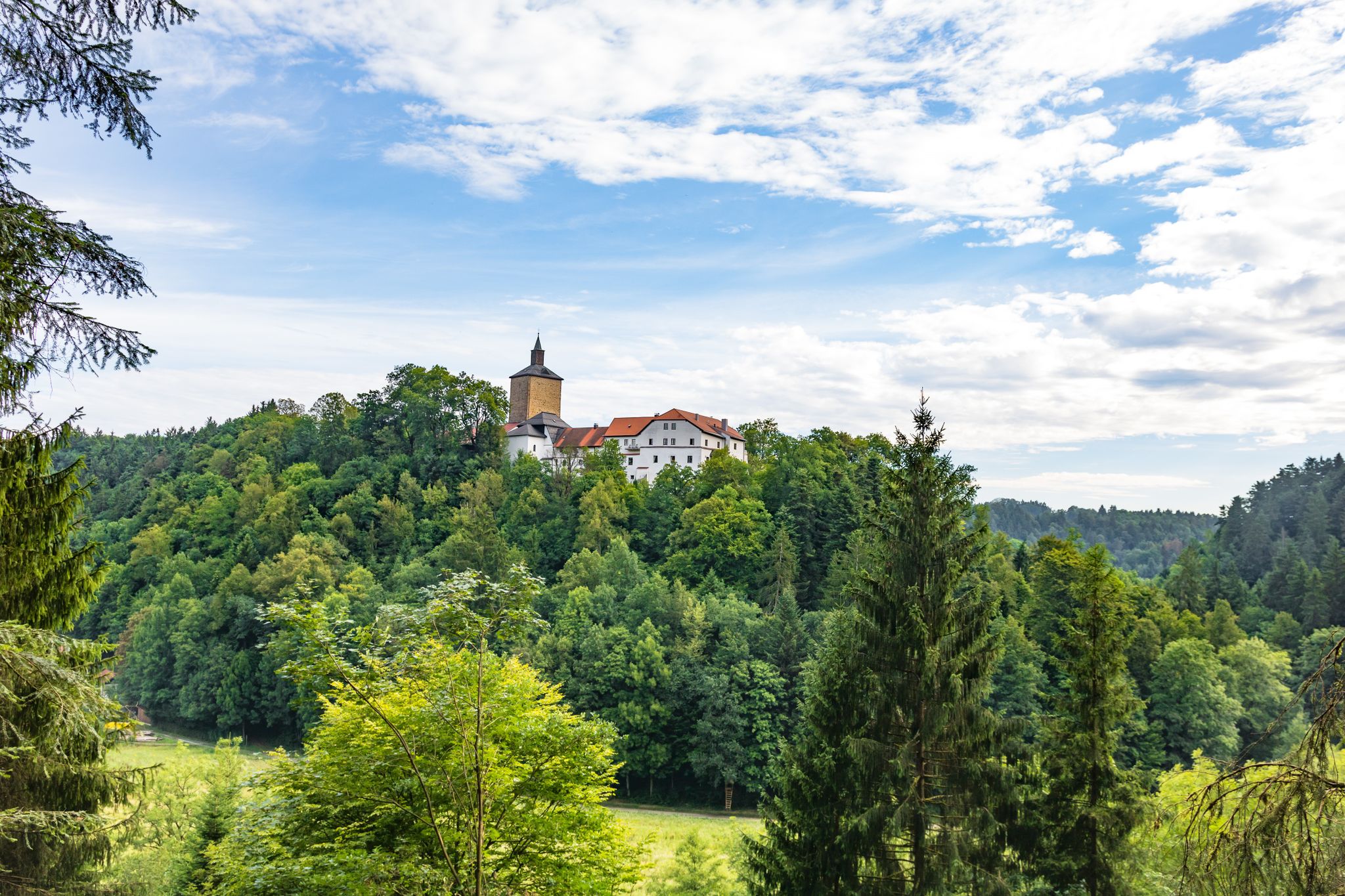
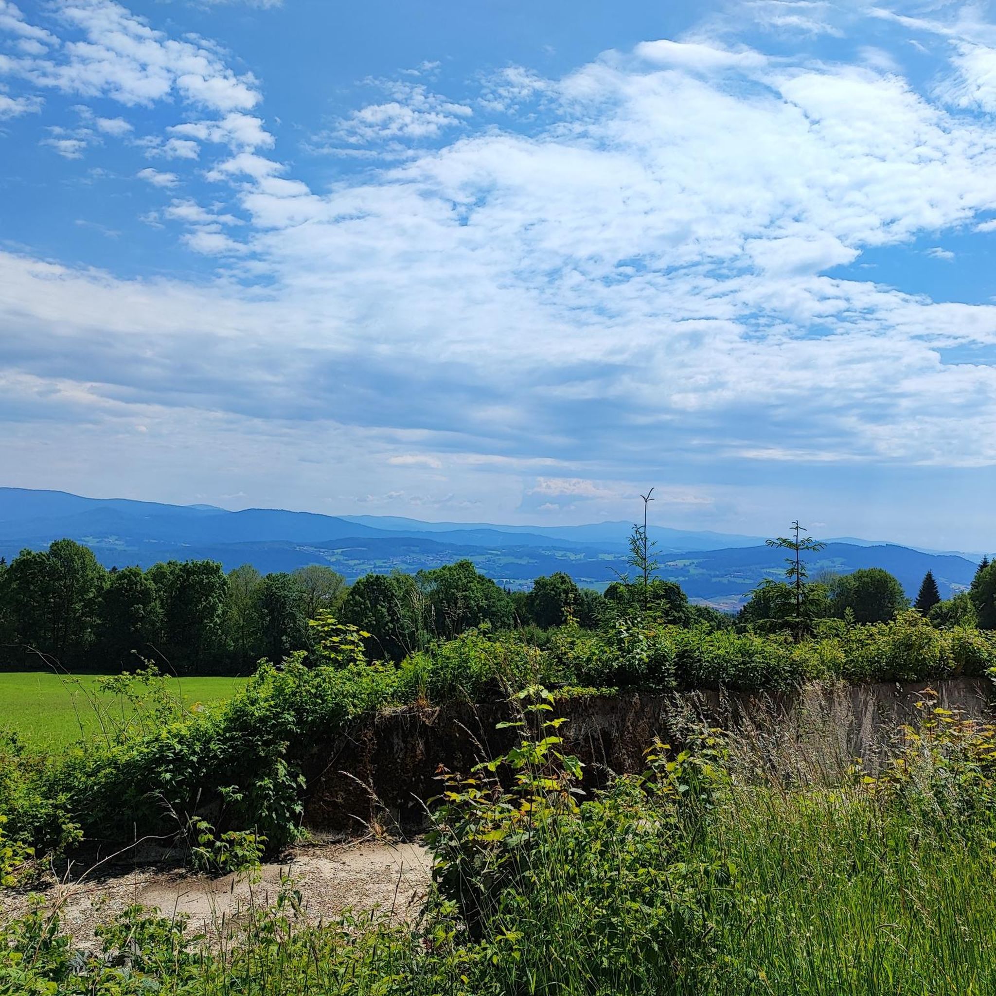
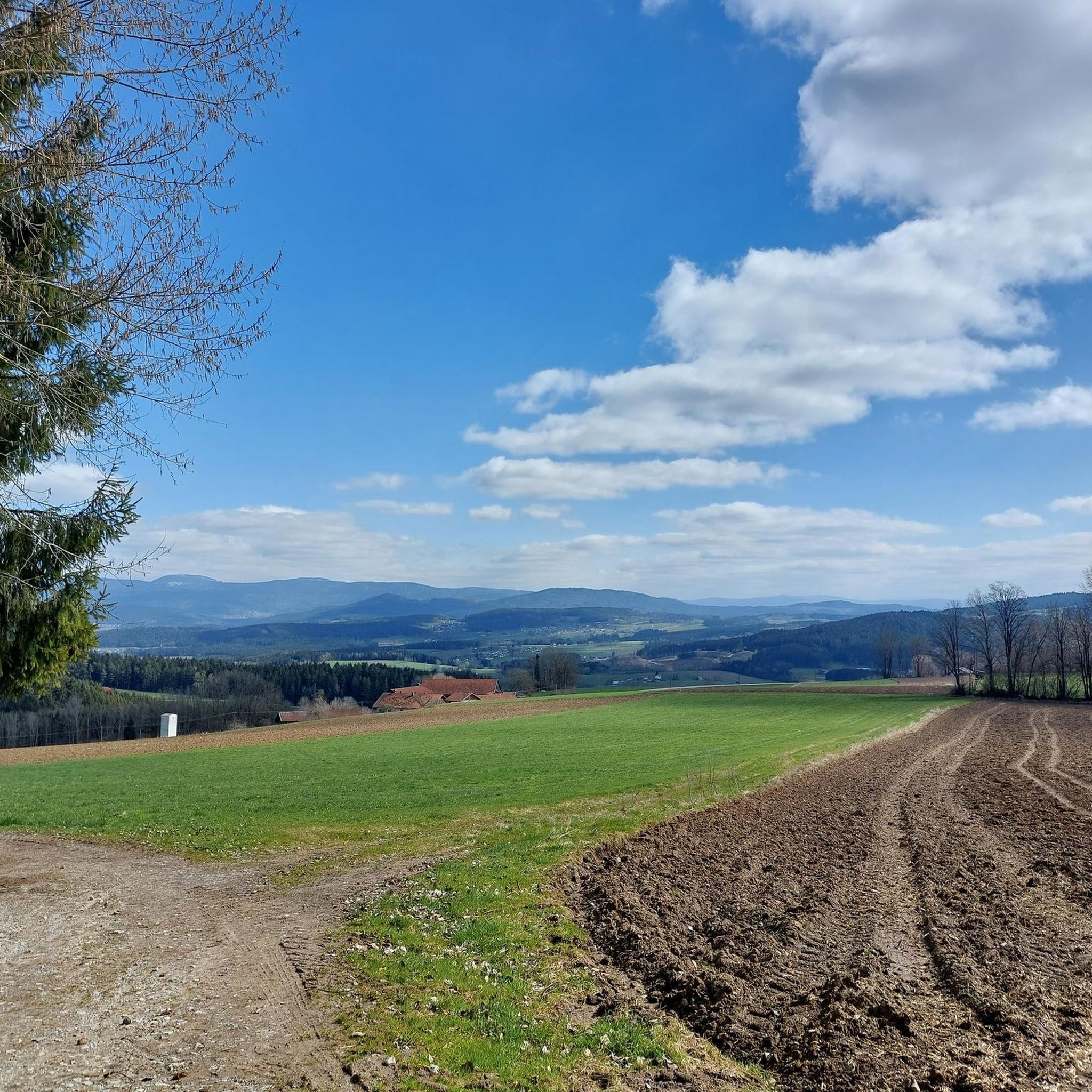

Other adventures around Patersdorf

Tips from the Community

Beautiful viewpoint with a view into the Danube plain.
1
0

Super Trail 😀. Highly recommended. In the upper part, however, not for beginners.
0
0

Three downhills, ranging from easy to smash-and-grab (S3). Awesome. Oh yeah, there's a view too.
0
0

Grandsberg (850 m above sea level) is located near the state-recognized resort of Schwarzach in the Bavarian Forest. Here, on a beautiful, sunny, south-facing slope with views of the Danube plain, the Berggasthof Menauer offers an atmospheric ambiance for a relaxing holiday.
2
0
In winter, Kalteck was a local ski resort with two drag lifts operating on three ski slopes.
2
0
Small "rocky" shelter between Rauhen Kulm and Klausenstein.
3
0

Today it was more of a close-up, but not pretty
3
0

Frequently Asked Questions
How many mountaineering routes can I explore around Patersdorf?
There are nearly 30 mountaineering routes around Patersdorf listed on komoot. These include 3 easy, 22 moderate, and 3 difficult trails, offering a wide range of options for different skill levels.
What kind of terrain can I expect on mountaineering routes in Patersdorf?
The terrain around Patersdorf is characterized by dense forests, rolling hills, and accessible mountain peaks within the Bavarian Forest. You'll find everything from gentle forest paths to more challenging ascents, often leading to panoramic viewpoints. Peaks like Hirschenstein are significant trail hubs, offering varied paths.
Are there any circular mountaineering routes in the Patersdorf area?
Yes, many routes around Patersdorf are designed as loops, allowing you to start and end at the same point. For example, the Klausenstein Summit Cross – Hirschenstein loop from Naturpark Bayerischer Wald is a popular moderate option, and the Hirschenstein – Knogl summit cross loop from Sankt Englmar offers a longer, forested mountain experience.
What are some notable viewpoints or landmarks I can see along the mountaineering routes?
Many routes lead to rewarding viewpoints. The Hirschenstein summit, for instance, features a seven-meter-high masonry lookout tower offering panoramic views across the Bavarian Forest, and on clear days, even extending to the Alps. The Geißkopf also has a 23-meter-high wooden observation tower with extensive views. Additionally, you might encounter historical sites like the Altnußberg Castle Ruins or the Kollnburg Castle Tower nearby.
Are there any challenging mountaineering routes for experienced hikers?
Yes, there are a few difficult routes for those seeking a greater challenge. One such option is the Klausenstein Summit Cross – Burgstein summit cross loop from Naturpark Bayerischer Wald, which covers 7.1 km and involves significant elevation changes. For even more technical climbing, the broader Bavarian Forest, particularly around Großer Arber, is known for challenging granite walls.
What do other mountaineers say about the routes in Patersdorf?
The mountaineering routes in Patersdorf are highly rated by the komoot community, with an average score of 4.5 stars from over 8 reviews. More than 130 mountaineers have used komoot to explore the varied terrain, often praising the scenic beauty and well-maintained paths.
Are there family-friendly mountaineering options around Patersdorf?
While many routes are moderate, there are easier options suitable for families. The region's dense forests and rolling hills provide a scenic backdrop for various activities. Look for routes designated as 'easy' in the komoot guide, which typically have less elevation gain and shorter distances, making them more accessible for all ages.
Can I bring my dog on the mountaineering trails in Patersdorf?
Generally, dogs are welcome on most hiking and mountaineering trails in the Bavarian Forest, including those around Patersdorf. However, it's always advisable to keep your dog on a leash, especially in nature reserves or near wildlife, and to check local regulations for specific trails or national park areas.
What is the best time of year for mountaineering in Patersdorf?
The best time for mountaineering in Patersdorf is typically from spring through autumn (May to October) when the weather is mild and trails are clear. During winter, some areas transform into ski resorts, and trails may be covered in snow or ice, requiring appropriate winter gear and experience.
Are there any shorter mountaineering routes for a quick outing?
Yes, if you're looking for a shorter experience, the Kalteck Ski Lift – Rauher Kulm Viewpoint loop from Naturpark Bayerischer Wald is a moderate 5.5 km route that can be completed in about 1 hour 50 minutes, offering a rewarding outing without committing to a full day.
Are there any interesting caves to explore near the mountaineering routes?
Yes, the region around Patersdorf also features several interesting caves. You could visit the Gottesgab Mine on Silberberg, the Räuber-Heigl Cave, or the Bear Cave, which offer a different kind of exploration after your mountain hike.
Is public transport available to access the mountaineering trails around Patersdorf?
While Patersdorf is well-connected, access to specific trailheads often benefits from personal transport. However, some areas within the broader Bavarian Forest National Park offer bus services that connect to popular hiking starting points. It's recommended to check local bus schedules for routes serving specific trailheads you plan to visit.
Most popular routes around Patersdorf
Most popular attractions around Patersdorf

Get inspired with the komoot mobile app


Explore more
Browse the best Mountain Hikes & Routes in other regions.
