The best running trails around Diersbach
4.5
(115)
1,623
runners
162
runs
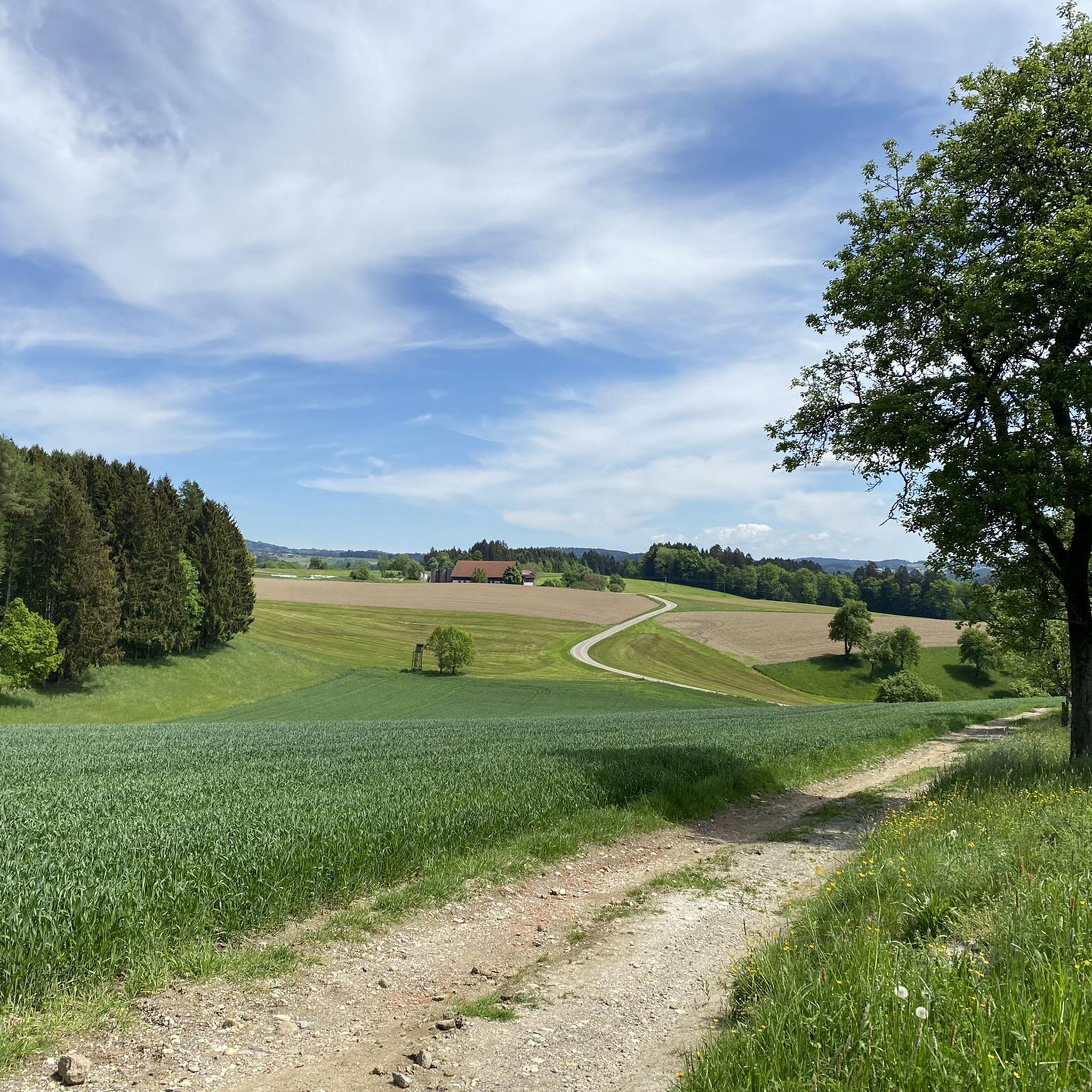
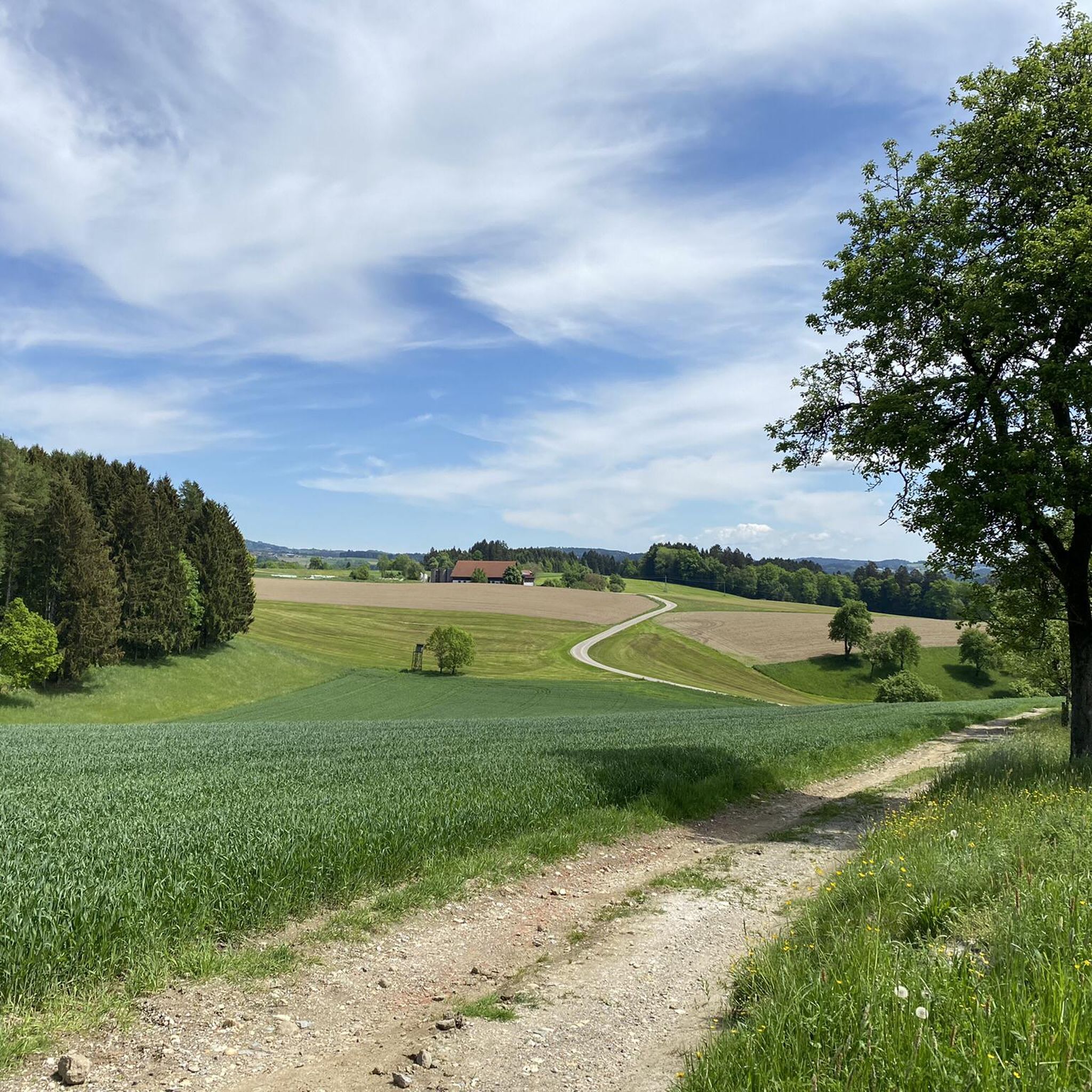
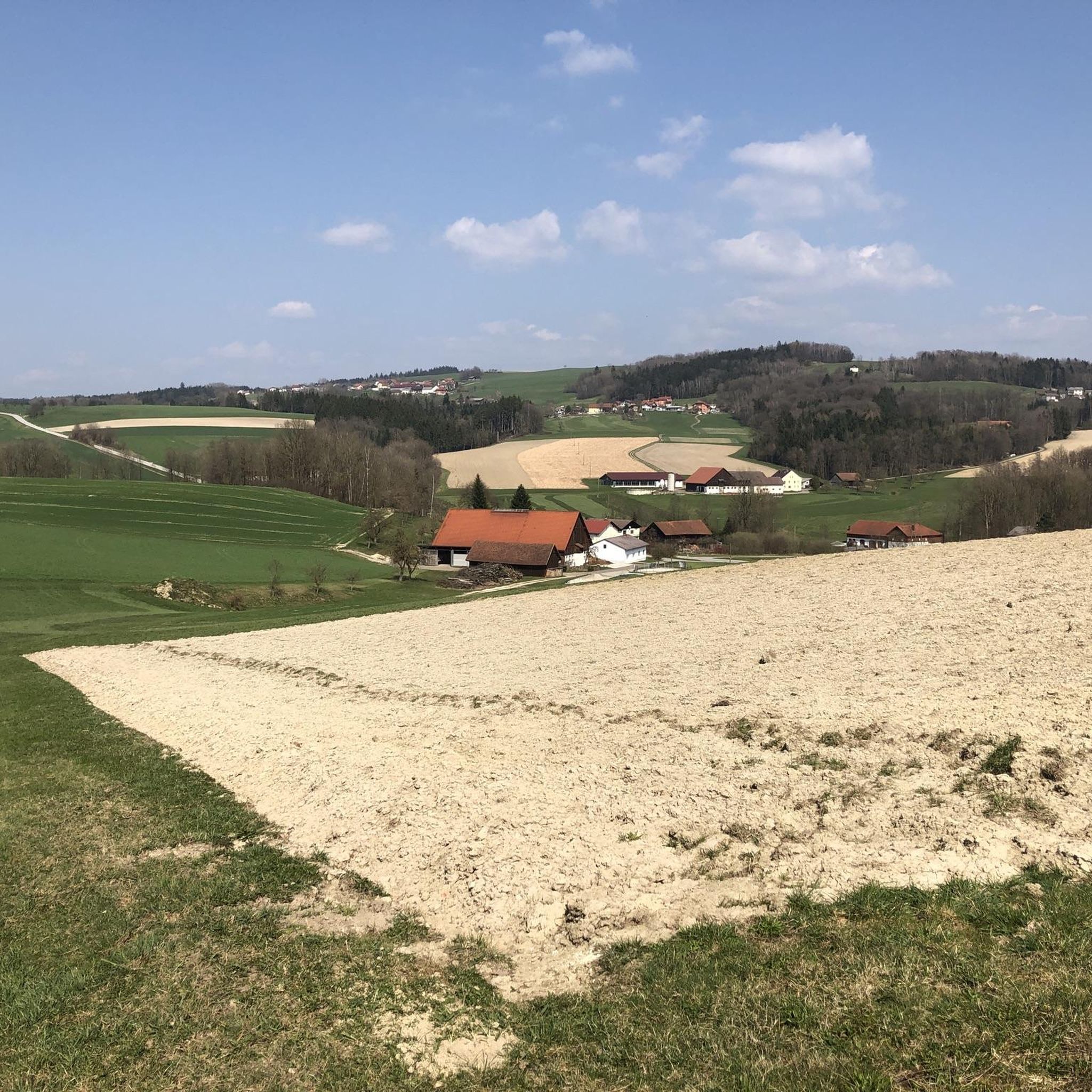
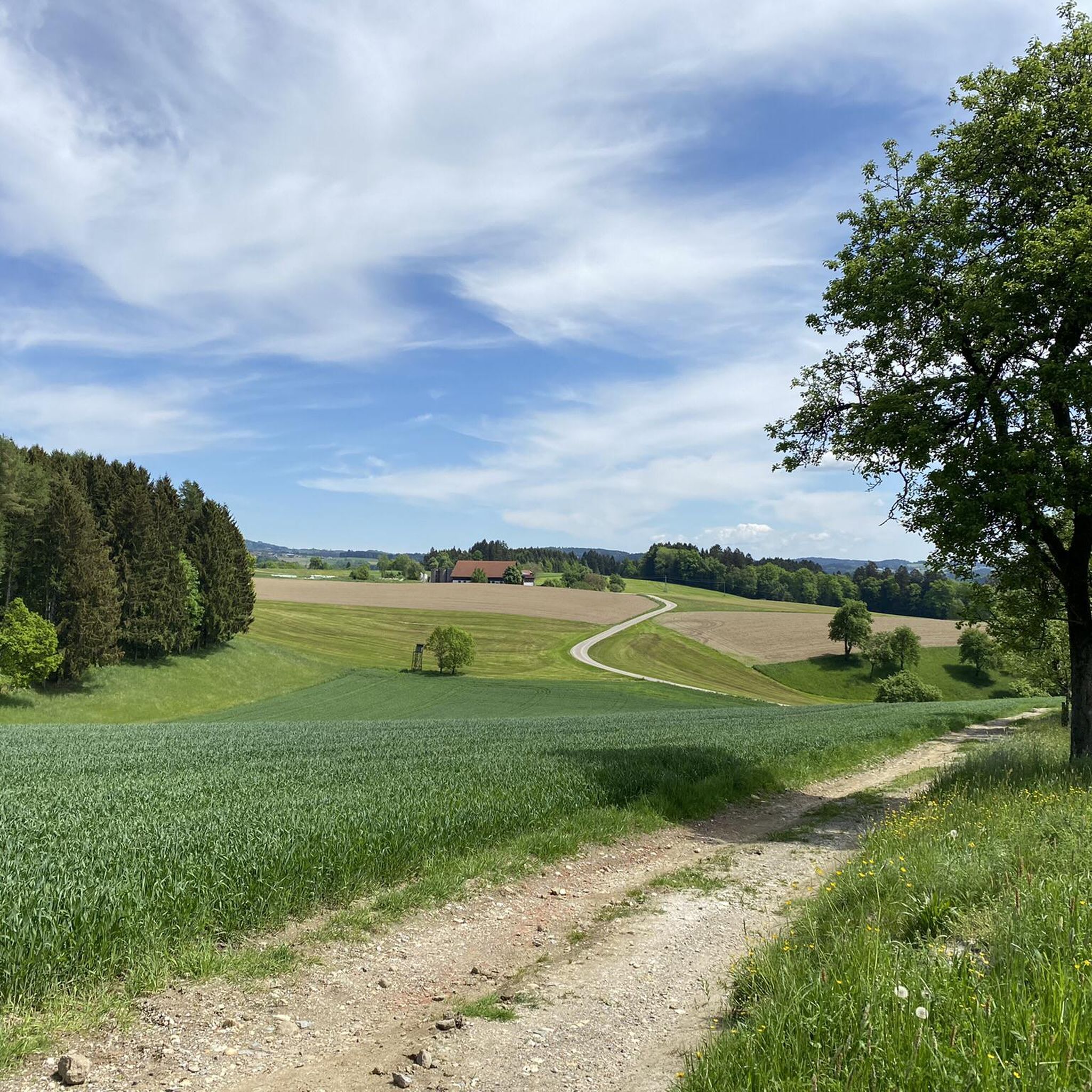
Jogging routes around Diersbach traverse an alternating landscape of forests, meadows, fields, and streams. The northern part of the municipality features a hilly landscape, while the southern area lies within the Pram and Pfudabach valleys, offering gentler hills and riverine landscapes. This varied terrain provides options for different running experiences, from predominantly paved paths to routes with varying elevation changes. Elevated points in the northern area offer views of the Pre-Alpine region.
Best jogging routes around Diersbach
- The most popular…
Last updated: October 8, 2026
29
runners
6.54km
00:43
30m
30m
Moderate run. Good fitness required. Mostly paved surfaces. Suitable for all skill levels.
16
runners
6.63km
00:45
30m
30m
Moderate run. Good fitness required. Mostly paved surfaces. Suitable for all skill levels.

15
runners
Moderate run. Good fitness required. Mostly paved surfaces. Suitable for all skill levels.
8
runners
6.33km
00:40
30m
30m
Moderate run. Good fitness required. Mostly paved surfaces. Suitable for all skill levels.
8
runners
10.2km
01:09
60m
60m
Moderate run. Good fitness required. Mostly paved surfaces. Suitable for all skill levels.
Get access to more routes and recommendations from other explorers.
Already have an account?
Our route recommendations are based on thousands of hikes, rides, and runs completed by other people on komoot.
Start today with a free account
Your next adventure awaits.
Tips from the Community

Over the Pran Bridge you go to Taufkirchen an der Pram.
0
0
very nice bike path in Taufkirchen an der Pram
1
0
nice photo in Wimm In Taufkirchen an der Pram
1
0
nice photo in Wimm Taufkirchen an der Pram
1
0
Frequently Asked Questions
How many running routes are available in Diersbach?
Diersbach offers a good selection of running routes, with over 10 trails available for exploration. These routes cater to various fitness levels, predominantly featuring moderate difficulty.
What kind of terrain can I expect on running trails in Diersbach?
The running trails in Diersbach feature a diverse landscape, including an alternating mix of forests, meadows, fields, and streams. The northern part of the municipality is characterized by a hilly landscape, while the southern area offers gentler hills and riverine landscapes within the Pram and Pfudabach valleys. You'll find both predominantly paved paths and routes with varying elevation changes.
Are there running routes suitable for beginners in Diersbach?
Yes, while most routes are moderate, there are options suitable for beginners. The varied terrain ensures that runners of all skill levels can find a comfortable path. For instance, the Unterpramau Running Route loop from Inding is a moderate 4.1-mile (6.6 km) trail that offers a balanced experience.
Can I find circular running routes in Diersbach?
Yes, all the featured running routes in Diersbach are designed as loops, making them convenient for circular runs. You can start and finish at the same point, such as the Unterpramau Running Route loop from Bezirk Schärding.
Are there any scenic viewpoints along the running routes in Diersbach?
Absolutely. The northern part of the municipality features elevated points that provide overwhelming views of the Pre-Alpine region. On particularly clear days, you might even catch a glimpse of the Alps. The nearby Haugstein Summit (895 m), the highest mountain in the Sauwald forest, also offers significant panoramic views.
Are there any routes that feature waterfalls?
Yes, you can explore routes that include natural water features. For example, the Weir Waterfall – Country Lane loop from Inding is a popular trail that leads through varied terrain and passes by a waterfall.
What do other runners enjoy most about jogging in Diersbach?
The running routes in Diersbach are highly rated by the komoot community, with an average score of 4.5 stars from over 70 reviews. Runners often praise the diverse and intact environment, the alternating landscapes of forests and meadows, and the well-maintained trails that offer both gentle and hilly sections.
Are there any historical landmarks or natural monuments to see while running?
Yes, the region's trails often incorporate both natural attractions and historical elements. You might encounter natural monuments like the Jungfraustein (Rocking Stone) Natural Monument or the Thousand-Year-Old Linden, enriching your running experience with a sense of history and natural beauty.
Are there any longer running trails for advanced runners?
For those seeking a longer challenge, Diersbach offers extended routes. The Unterpramau Running Route loop from Bezirk Schärding is a moderate 8.4-mile (13.5 km) path, providing an extended exploration of the area's natural features, typically completed in about 1 hour 29 minutes.
What is the best time of year to go running in Diersbach?
Diersbach's diverse landscape makes it suitable for running throughout much of the year. Spring and autumn offer pleasant temperatures and vibrant scenery. Summer is also great, especially for early morning or late afternoon runs to avoid the midday heat. Winter running is possible, but conditions may vary depending on snow and ice, particularly in the hiller northern areas.
Are there any less crowded running trails in Diersbach?
While popular routes like the Unterpramau Running Route loop from Inding are well-loved, the region's extensive network of trails means you can often find quieter paths, especially during off-peak hours or by exploring some of the lesser-known loops like the Running loop from Inding.
Can I find running routes with significant elevation changes for a more intense workout?
Yes, the northern part of Diersbach, which is part of the Sauwald, features a hilly landscape. Routes in this area will offer more significant elevation changes, providing a more intense workout compared to the gentler riverine landscapes in the south. For example, the Running loop from Bezirk Schärding includes over 120 meters of elevation gain.
Most popular routes around Diersbach
Most popular attractions around Diersbach

Get inspired with the komoot mobile app


Explore more
Browse the best Running Trails & Routes in other regions.
