The best running trails around Tiefenbach
4.5
(130)
1,238
runners
125
runs
Jogging routes around Tiefenbach offer diverse terrain in the Danube Forest region, situated in the southernmost foothills of the Bavarian Forest. The landscape features rolling hills, dense forests, and river valleys, providing varied running experiences. This area is characterized by its natural setting, with routes often following waterways like the Schwarzach and circling lakes such as the Silbersee. The topography includes gentle elevation changes, suitable for a range of fitness levels.
Best jogging routes around Tiefenbach
- The most popular jogging…
Last updated: July 5, 2026
4.7
(15)
117
runners
9.50km
01:06
70m
70m
Moderate run. Good fitness required. Mostly paved surfaces. Suitable for all skill levels.
4.7
(15)
115
runners
10.1km
01:09
60m
60m
Moderate run. Good fitness required. Mostly paved surfaces. Suitable for all skill levels.

Sign up for free
4.8
(13)
114
runners
11.0km
01:15
50m
50m
Moderate run. Good fitness required. Mostly paved surfaces. Suitable for all skill levels.
7
runners
10.3km
01:08
200m
200m
Moderate run. Good fitness required. Mostly paved surfaces. Suitable for all skill levels.
5
runners
5.33km
00:34
70m
70m
Moderate run. Good fitness required. Mostly paved surfaces. Suitable for all skill levels.
Get access to more routes and recommendations from other explorers.
Sign up for free
Already have an account?
Our route recommendations are based on thousands of hikes, rides, and runs completed by other people on komoot.
Start today with a free account
Your next adventure awaits.
Login or Signup
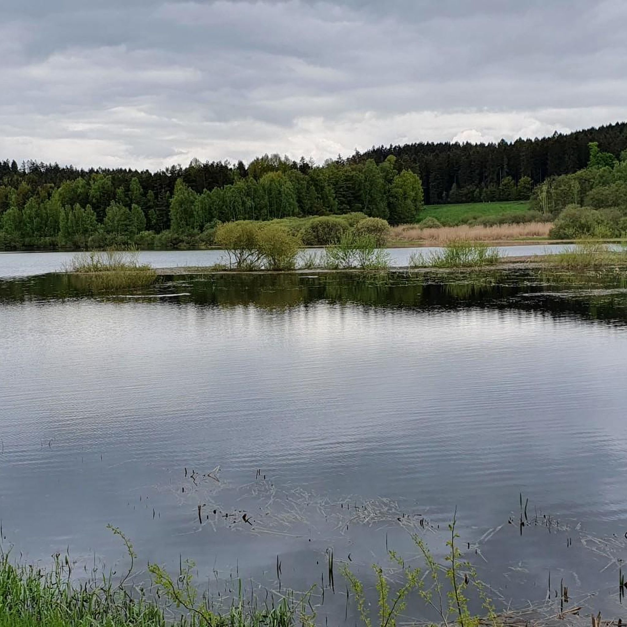
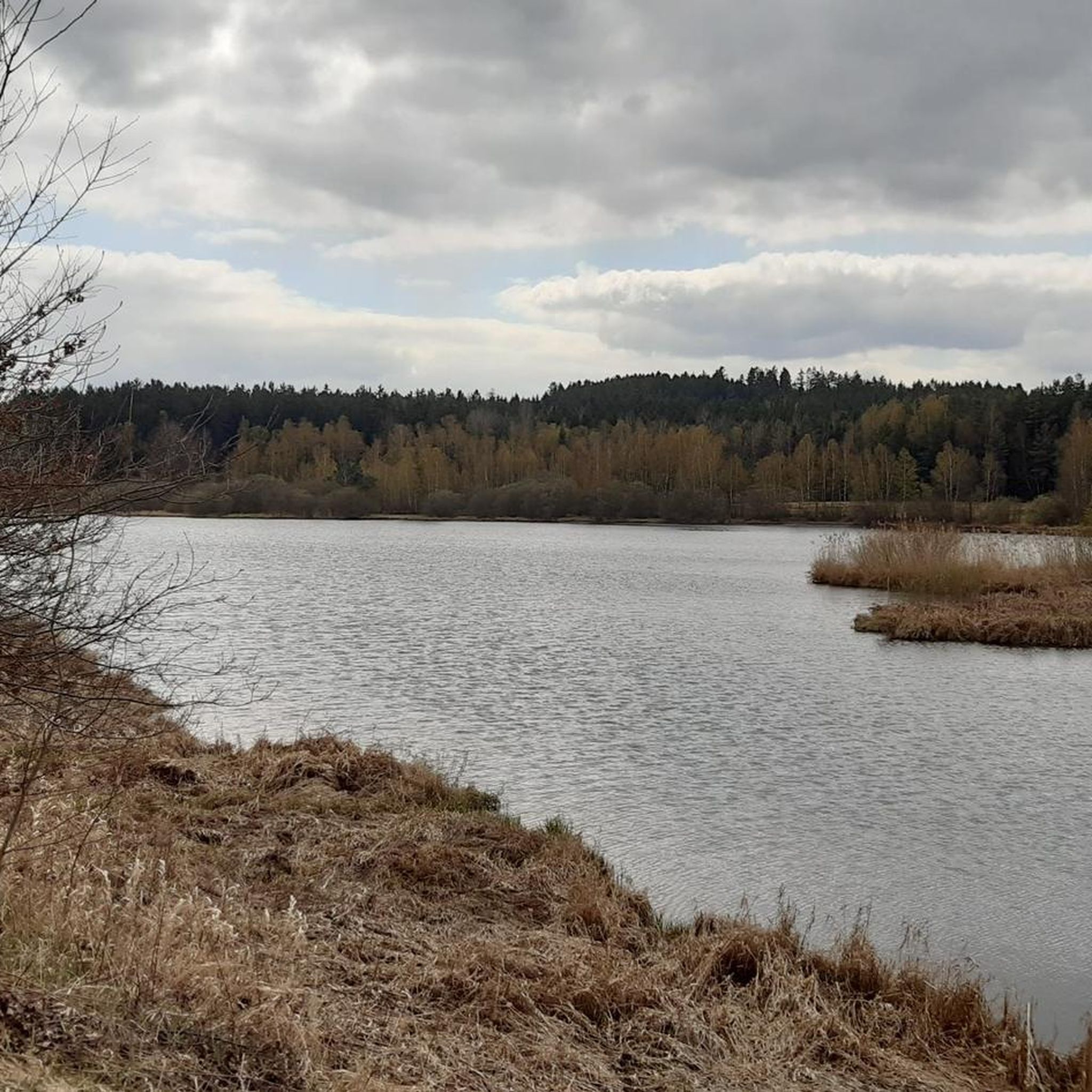
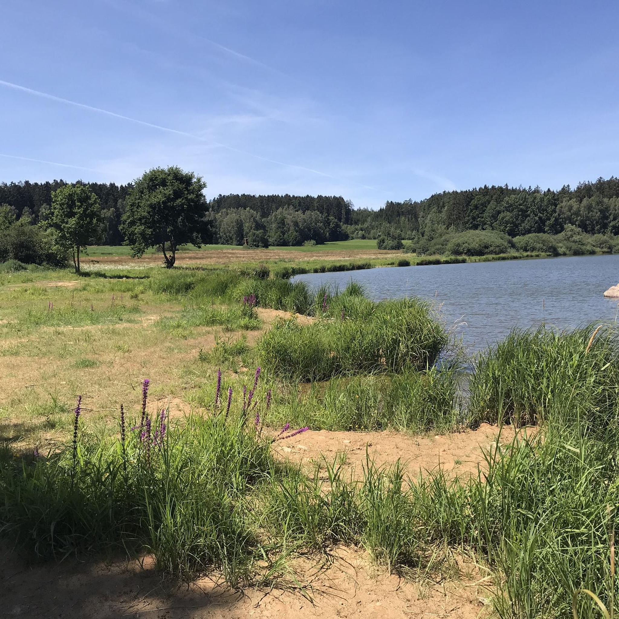
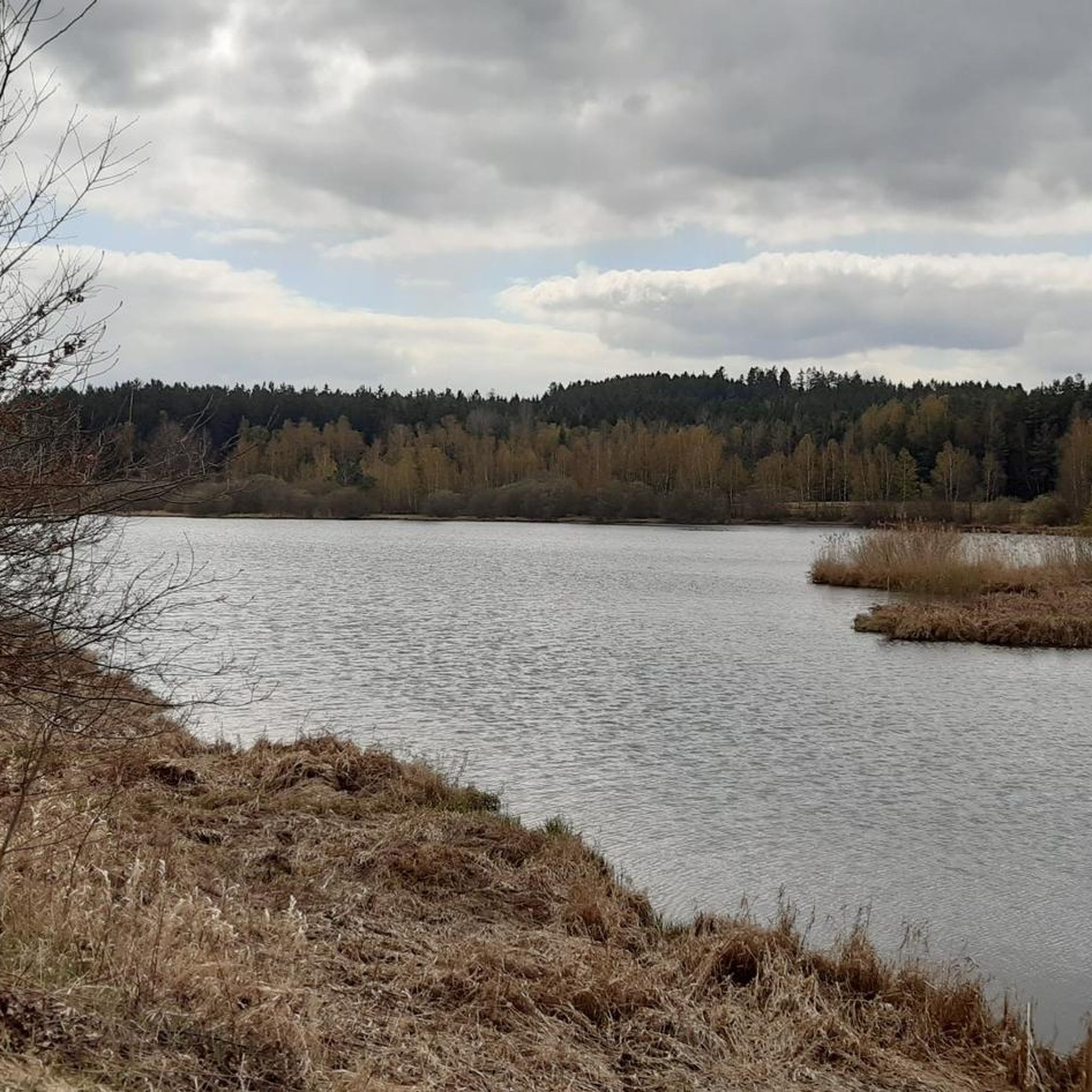

Tips from the Community

The bridge is now easy to cross with a bicycle or stroller
0
0
long wooden boardwalk on the circular trail incl. passing places
0
0

Beautiful circular trail, both in summer and winter...
1
0
Caution is advised when "running", as it can be slippery when wet.
1
0
Part of the Silbersee circular trail, beautiful in summer as well as in winter 😊
2
0

A wonderful view of the Upper Palatinate, Bohemian, and Bavarian Forests can be enjoyed from the glass-enclosed viewing platform. Visitors are at an altitude of 898 meters, the highest point in the Schwandorf district. The tower is 30 meters high.
20
0

The small beach has benches, a well-maintained lawn and a changing room.
1
0
You can take the Silbersee circular trail over the dam or simply make yourself comfortable on the lawn or the installed wave lounger.
1
0
Frequently Asked Questions
How many jogging routes are available in Tiefenbach?
Tiefenbach offers a wide selection of running routes, with over 120 trails to explore. These include a variety of options for different fitness levels, ensuring there's something for everyone.
What do other runners enjoy most about jogging in Tiefenbach?
The running routes in Tiefenbach are highly rated by the komoot community, boasting an average score of 4.5 stars from over 120 reviews. Runners frequently praise the diverse terrain, which includes forest paths, lake shores, and river valleys, as well as the natural beauty of the Danube Forest region.
Are there running routes suitable for beginners or those looking for an easy jog?
Yes, Tiefenbach has several easy jogging routes. There are 10 routes specifically categorized as easy, perfect for beginners or those seeking a relaxed run. Many routes feature gentle elevation changes, making them accessible for a range of abilities.
Can I find challenging or long-distance running routes in Tiefenbach?
Absolutely. For more advanced runners or those seeking a longer challenge, Tiefenbach offers 19 difficult routes. Many of the moderate routes, such as the Böhmerwald Tower Trail loop from Stadlern, also provide significant elevation gains over distances exceeding 10 km.
What kind of terrain and natural features can I expect on Tiefenbach's running trails?
The running trails in Tiefenbach, located in the Danube Forest region, offer diverse terrain. You'll encounter rolling hills, dense forests, and picturesque river valleys. Many routes follow waterways like the Schwarzach and circle lakes such as the Silbersee, providing a mix of natural beauty and varied surfaces for your run.
Are there circular jogging routes available in Tiefenbach?
Yes, many of the popular jogging routes in Tiefenbach are circular, offering convenient starting and ending points. Examples include the Bridge Over the Schwarzach – Silbersee Beach loop from Stein and the Silbersee Beach – Bridge Over the Schwarzach loop from Grubhof, which allow you to return to your starting point without retracing your steps.
Are there any interesting landmarks or attractions along the running routes?
Yes, several routes offer views of historical sites and natural highlights. For instance, you might encounter the Schwarzenburg Castle Ruins or the Reichenstein Castle Ruins. The region also features the scenic Silbersee and the Schwarzach river, providing beautiful natural backdrops for your run.
Is Tiefenbach a good place for family-friendly running or jogging with children?
While specific routes are not explicitly marked as 'family-friendly' in the data, the presence of easy and moderate routes with gentle elevation changes suggests that many trails are suitable for families. Routes around the Silbersee, for example, offer accessible paths and scenic views that can be enjoyed by all ages.
Can I bring my dog on the running trails in Tiefenbach?
Generally, dogs are welcome on many outdoor trails in natural areas like Tiefenbach, especially on forest paths and along river valleys. However, it's always advisable to check local regulations or signage at trailheads for specific restrictions, especially in nature reserves or protected areas. Keeping your dog on a leash is usually recommended.
What is the best time of year to go jogging in Tiefenbach?
Tiefenbach's natural beauty, with its rolling hills and dense forests, is particularly vibrant in spring and autumn. These seasons offer pleasant temperatures and picturesque scenery, making them ideal for jogging. While summer is also popular, winter conditions can make some trails inaccessible or more challenging due to snow and ice.
Are there parking facilities available near the running routes?
While specific parking locations are not detailed for every route, it is common for trailheads in regions like Tiefenbach to have designated parking areas. For routes starting from villages like Stein, Treffelstein, or Grubhof, you can typically find parking nearby to access the trails, such as those around the Silbersee.
Are there cafes or pubs near the running trails in Tiefenbach?
The region around Tiefenbach offers opportunities to find refreshment. For example, the Historic border inn Gerstmeier on Eulenberg is a notable restaurant in the vicinity, and you might find other local establishments in the villages near the trailheads where you can refuel after your run.
Most popular routes around Tiefenbach
Most popular attractions around Tiefenbach

Get inspired with the komoot mobile app


Explore more
Browse the best Running Trails & Routes in other regions.
