The best walks and hikes around Aughnaholle
4.7
(55)
343
hikers
15
hikes
Hiking around Aughnaholle offers a diverse landscape characterized by coastal features and inland trails. The region includes areas like the Antrim Coast & Glens, providing varied terrain for outdoor activities. Hikers can expect a mix of paths near the sea and routes that venture further inland. The elevation changes are generally moderate, making the area accessible for different skill levels.
Best hiking trails around Aughnaholle
- The most popular hiking route is Fairhead Loch Na Crannóige Walk — Antrim Coast &…
Last updated: June 25, 2026
4.7
(25)
150
hikers
7.76km
02:10
150m
150m
Moderate hike. Good fitness required. Easily-accessible paths. Suitable for all skill levels.
5.0
(1)
11
hikers
3.49km
00:55
20m
20m
Easy hike. Great for any fitness level. Easily-accessible paths. Suitable for all skill levels.

Sign up for free
4.0
(3)
13
hikers
7.81km
02:23
270m
270m
Moderate hike. Good fitness required. Easily-accessible paths. Suitable for all skill levels.
3.0
(2)
6
hikers
4.67km
01:12
30m
30m
Easy hike. Great for any fitness level. Easily-accessible paths. Suitable for all skill levels.
5.0
(1)
2
hikers
8.35km
02:16
120m
120m
Moderate hike. Good fitness required. Easily-accessible paths. Suitable for all skill levels.
Get access to more routes and recommendations from other explorers.
Sign up for free
Already have an account?
Our route recommendations are based on thousands of hikes, rides, and runs completed by other people on komoot.
Start today with a free account
Your next adventure awaits.
Login or Signup
Popular around Aughnaholle
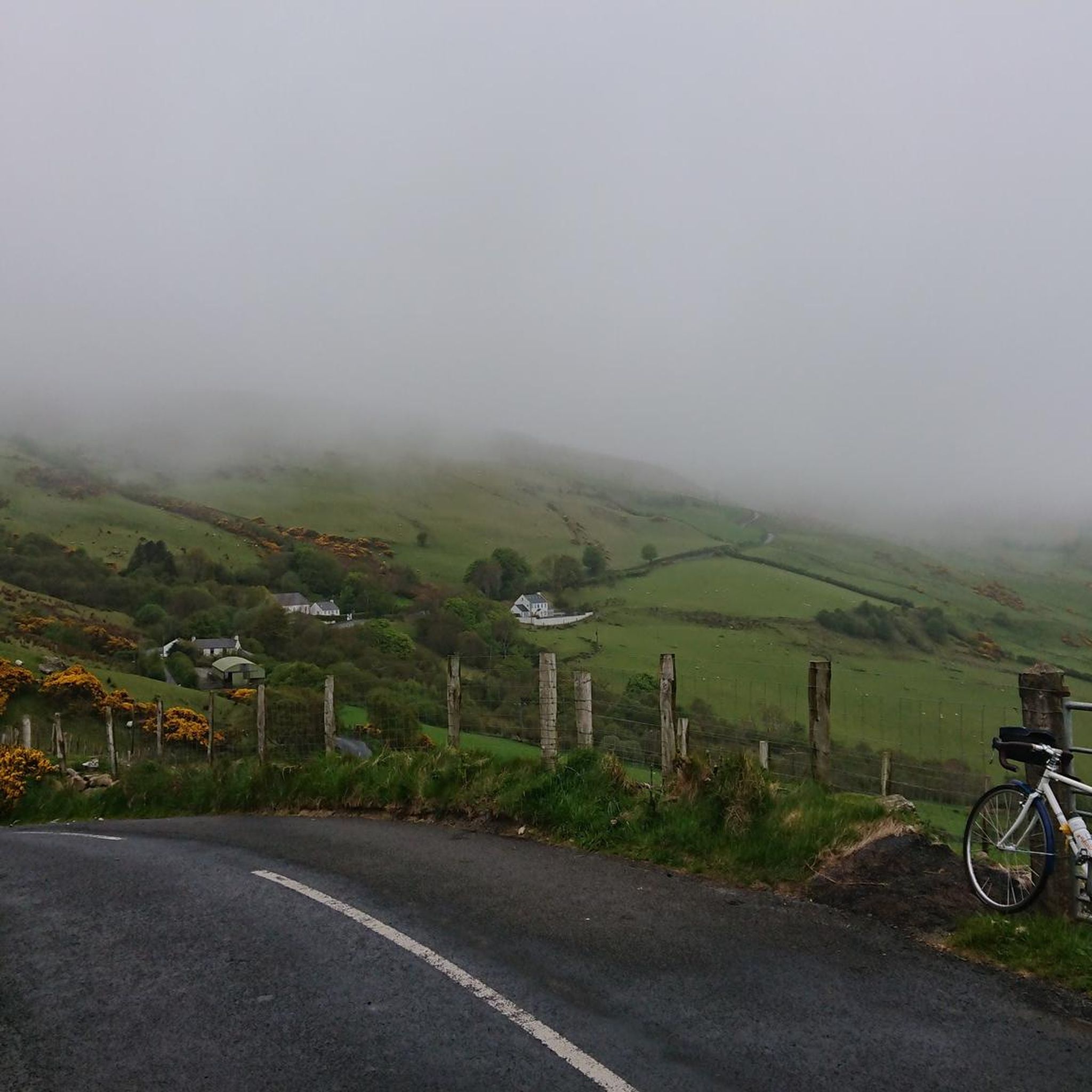
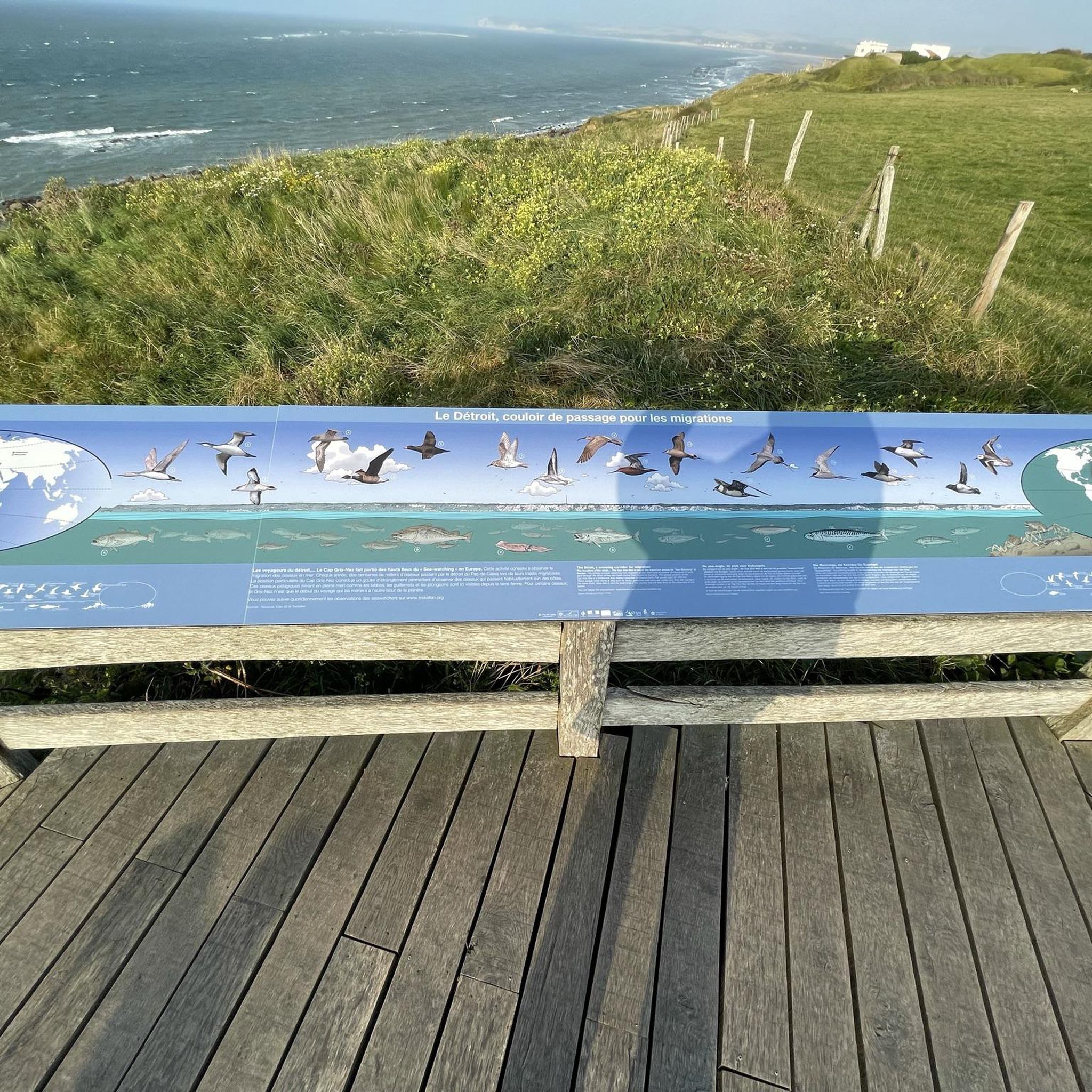

Tips from the Community

One of the real classic seacliff climbing areas with decades of histors and the tradiitonal climbing meet-up on the first weekend in June.
1
0

Close to Northern Ireland's most northerly point, Fair Head has brilliant views of Scotland and Rathlin Island. Stunning on a clear day, fearsome when the weather sets in!
2
0

Beautiful little harbour located in the seaside village of Cushendun. The Mary McBrides across the road from here sells delicious food and real ales. There is also a café and convenience store nearby where you can pick up some snacks and take a respite on the sandy shore nearby.
2
0
From here, you can enjoy fantastic views of the beautiful Rathlin Island, located off the northeast coast of Ireland (and Ireland's most northern point).
4
0

don't go too close to the cliffs, but stunning views
1
0

Accessible by ferry from Ballycastle.
1
2
Fair Head is a cliff top approximately 3 miles long and 200m high with sweeping views of Ballycastle.
2
0
Especially nice and interesting at low tide
0
2
Frequently Asked Questions
How many hiking trails are there in Aughnaholle?
Aughnaholle offers a selection of over 15 hiking trails, ranging from easy coastal strolls to more moderate inland routes. This variety ensures options for different skill levels and preferences.
Are there easy hiking trails suitable for beginners in Aughnaholle?
Yes, Aughnaholle has several easy hiking options perfect for beginners or those looking for a relaxed walk. For example, the Cushendun Harbour & Cushendun Caves loop — Antrim Coast & Glens is an easy 2.2-mile (3.5 km) path offering a pleasant coastal experience.
Are there circular hiking routes available in Aughnaholle?
Many of the trails in Aughnaholle are designed as circular routes, allowing you to start and end at the same point. The View of Fair Head – Heather Bloom at Fair Head loop from Church Bay is a popular 4.8-mile (7.8 km) circular trail that showcases coastal landscapes.
What are the typical distances and durations for hikes in Aughnaholle?
Hikes in Aughnaholle vary in length and duration. You can find shorter walks like the 2.2-mile (3.5 km) Cushendun Harbour loop, which takes about an hour, or longer moderate trails such as the Fairhead Loch Na Crannóige Walk, which is 4.8 miles (7.8 km) and typically takes around 2 hours 10 minutes.
What interesting landmarks or attractions can I see near the hiking trails?
Aughnaholle's trails often pass by significant natural and historical sites. You can explore the dramatic Cushendun Caves, enjoy views from Fair Head Climbing Area, or take in the scenery at Cushendun Harbour. The Torr Head Coastal Road also offers stunning vistas.
Are dogs allowed on the hiking trails in Aughnaholle?
Many trails in the Aughnaholle area are dog-friendly, but it's always recommended to keep dogs on a leash, especially in areas with livestock or near cliff edges. Always check local signage for specific restrictions on individual routes.
When is the best time of year to go hiking in Aughnaholle?
The best time to hike in Aughnaholle is generally from spring to autumn (April to October) when the weather is milder and daylight hours are longer. Summer offers the warmest temperatures, while spring and autumn provide beautiful seasonal colors and fewer crowds. Be prepared for changeable weather regardless of the season, especially along the coast.
Is public transport available to reach hiking trails in Aughnaholle?
Public transport options to specific trailheads in Aughnaholle can be limited, particularly for more remote routes. It's advisable to check local bus schedules for services to towns like Cushendun, which can provide access to some coastal walks. For greater flexibility, a car is often recommended.
Where can I find parking for hiking trails in Aughnaholle?
Parking is typically available at or near popular trailheads and villages in the Aughnaholle area, such as Cushendun or near Fair Head. Look for designated car parks, but be aware that spaces might be limited during peak season. Always park responsibly and respect local regulations.
What do other hikers enjoy most about Aughnaholle?
The hiking trails in Aughnaholle are highly rated by the komoot community, with an average score of 4.5 stars. Hikers often praise the diverse coastal and inland landscapes, the stunning views of the Antrim Coast & Glens, and the variety of routes suitable for different abilities.
Are there family-friendly hiking options in Aughnaholle?
Yes, Aughnaholle offers several family-friendly trails, particularly the easier coastal loops with minimal elevation gain. These routes provide accessible paths and interesting sights like the Cushendun Caves, making them enjoyable for all ages. The Cushendun Harbour – Cushendun Caves loop from Cushendun is another excellent easy option.
Is winter hiking possible in Aughnaholle?
Winter hiking is possible in Aughnaholle, but requires careful preparation. Trails can be wet, muddy, and potentially icy, especially on higher ground. Shorter daylight hours and colder temperatures mean appropriate gear, including waterproof clothing and sturdy footwear, is essential. Always check weather forecasts before heading out.
Can you recommend any less-known or 'hidden gem' hikes in Aughnaholle?
While many trails offer stunning views, for a slightly less-trafficked experience, consider exploring routes that venture further inland or around smaller loughs. The Loughareema loop from Ballypatrick offers a moderate 5.2-mile (8.4 km) hike around the 'Vanishing Lake', providing a unique natural feature away from the more popular coastal paths.
Most popular routes around Aughnaholle
Most popular attractions around Aughnaholle

Get inspired with the komoot mobile app


Explore more
Browse the best Hikes in other regions.
