The best running trails around Krauchenwies
4.6
(130)
1,736
runners
22
runs
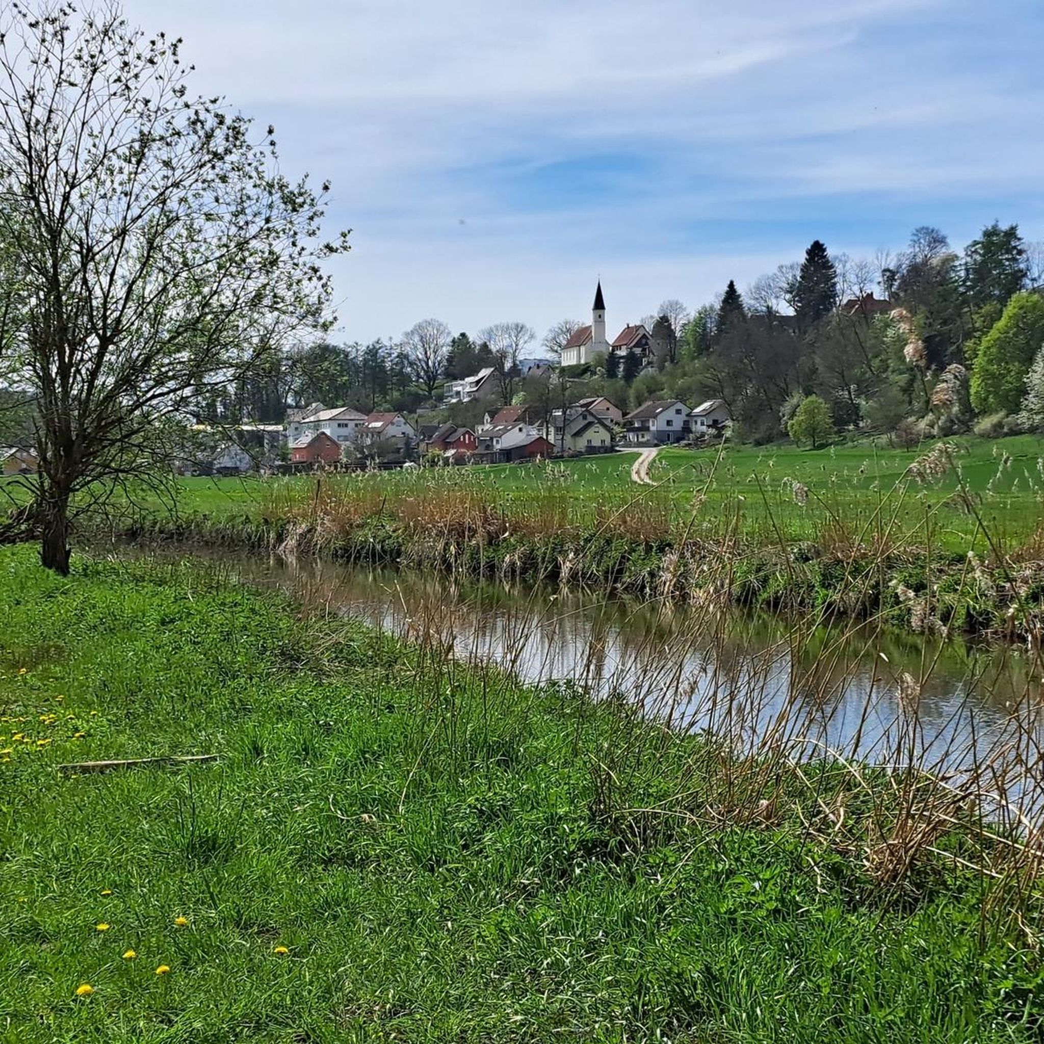
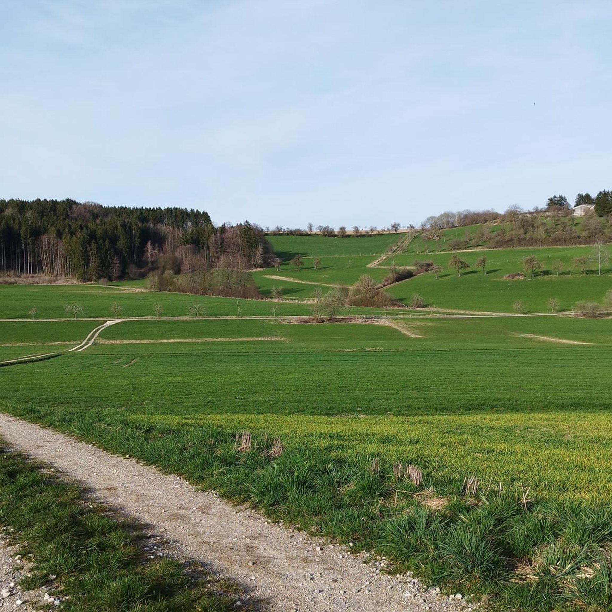
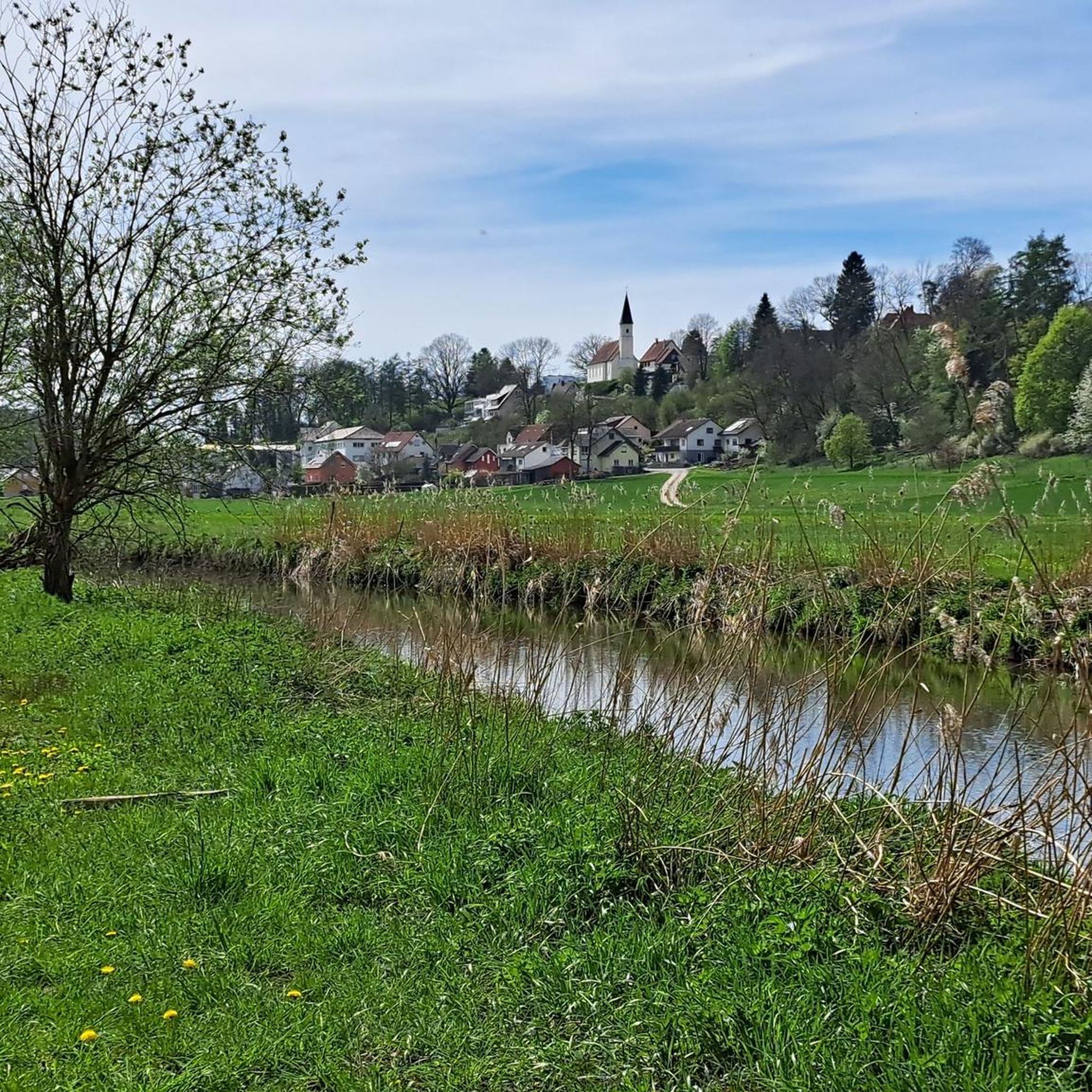
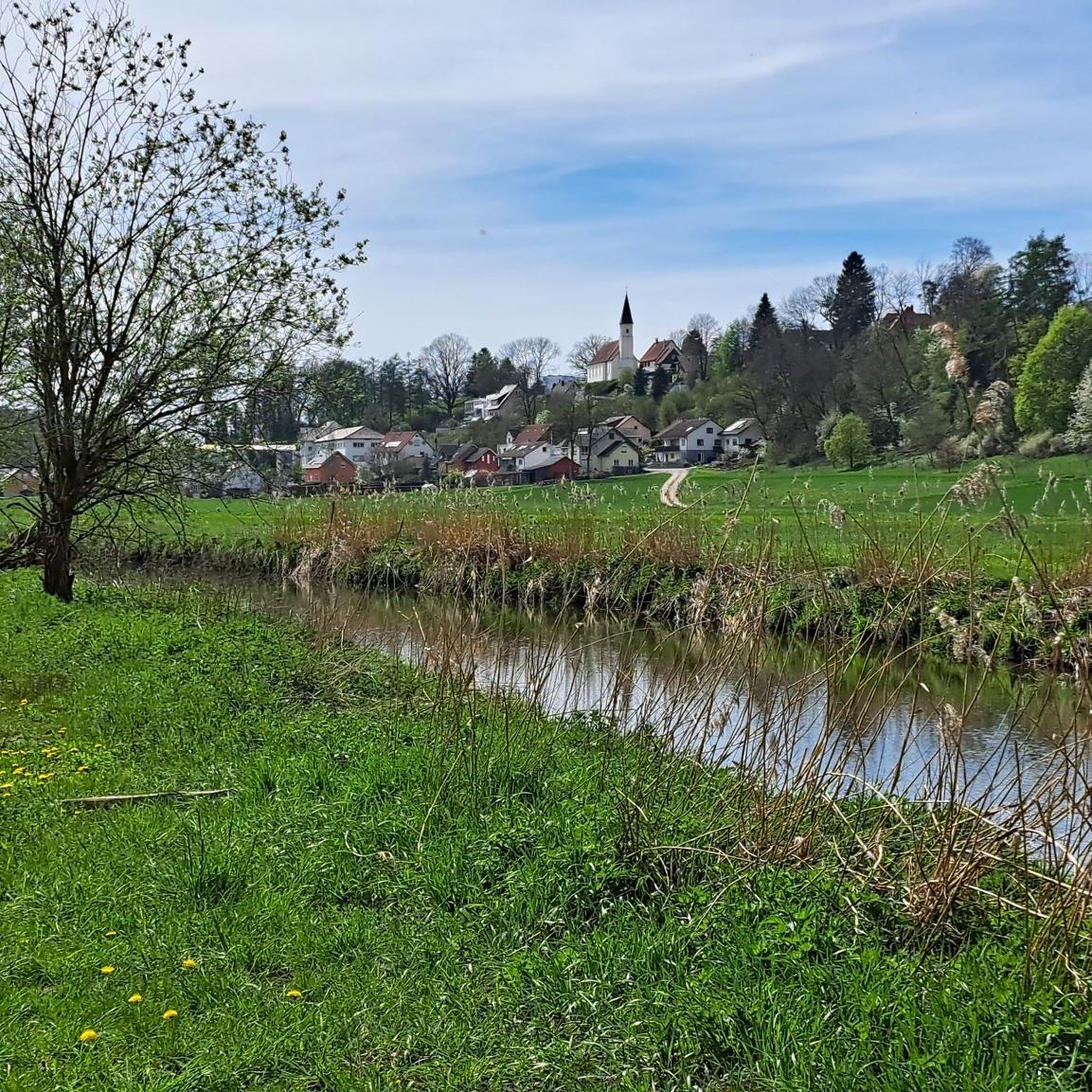
Jogging around Krauchenwies offers varied terrain characterized by gentle hills, valleys, and extensive forests and meadows. The region features a network of paths along the Ablach River and around the Krauchenwieser Seenplatte, an area with ten artificial lakes. These natural features provide diverse scenery for running, from open parklands to lakeside trails and wooded sections, including parts of the Upper Danube Nature Park.
Best jogging routes around Krauchenwies
- The most popular jogging route is Weir on the Ablach – Zielfinger…
Last updated: June 29, 2026
5.0
(2)
25
runners
7.30km
00:45
30m
30m
Moderate run. Good fitness required. Mostly paved surfaces. Suitable for all skill levels.
20
runners
6.08km
00:38
20m
20m
Moderate run. Good fitness required. Mostly paved surfaces. Suitable for all skill levels.

Sign up for free
4.0
(1)
7
runners
9.77km
01:01
90m
90m
Moderate run. Good fitness required. Mostly paved surfaces. Suitable for all skill levels.
4.9
(22)
5
runners
5.11km
00:32
50m
50m
Moderate run. Good fitness required. Mostly paved surfaces. Suitable for all skill levels.
5
runners
7.83km
00:49
50m
50m
Moderate run. Good fitness required. Mostly paved surfaces. Suitable for all skill levels.
Get access to more routes and recommendations from other explorers.
Sign up for free
Already have an account?
Our route recommendations are based on thousands of hikes, rides, and runs completed by other people on komoot.
Start today with a free account
Your next adventure awaits.
Login or Signup
Tips from the Community

Park paths have been blocked for weeks with many fallen trees.
0
0

Very nice corner for trips into nature and swimming
0
0
I'll definitely go that route again. Very nice along the lakes.
1
0

Fantastically beautiful the lake district ... Take binoculars or a photo with you ... You can see many birds there
0
0

Ablacher lakes invite you to swim and picnic
1
0
Frequently Asked Questions
How many running routes are available in Krauchenwies?
Krauchenwies offers a good selection of running routes, with over 15 trails to explore. These range from easy loops to more moderate paths, catering to various fitness levels.
Are there any easy or beginner-friendly jogging routes in Krauchenwies?
Yes, Krauchenwies has several easy routes perfect for beginners or a relaxed run. For instance, the Ablacher Lake – Ablach Lakes loop from Krauchenwies is an easy 3.1 km (1.9 miles) trail that takes about 20 minutes to complete, offering pleasant lakeside scenery.
What kind of scenery can I expect on the running trails around Krauchenwies?
The region is characterized by diverse natural beauty. You'll find gentle hills, extensive forests, and meadows. Many routes follow the Ablach River or wind around the Krauchenwieser Seenplatte, an area with ten artificial lakes. The Vogelsee loop from Ablach, for example, offers views of the Zielfinger Vogelsee nature reserve, known for its bird species.
Are there any circular running routes in Krauchenwies?
Yes, many of the running paths in Krauchenwies are circular, allowing you to start and end at the same point. The Running loop from Krauchenwies is a moderate 5.1 km (3.2 miles) option, and the Running loop from Hausen am Andelsbach offers a longer 7.8 km (4.8 miles) circular experience.
What are some notable natural attractions or landmarks I might see while jogging?
Krauchenwies offers several scenic spots. The Fürstlicher Park (Princely Park) is a beautiful 61-hectare English landscape garden with lakes and paths along the Ablach river, featuring the historic Landhaus Krauchenwies. The Krauchenwieser Seenplatte, including the Steidlesee (also known as Krauchenwieser Badesee), provides picturesque lakeside runs. You can also find natural monuments like Amalien Rock or enjoy views over the Danube Valley in the Upper Danube Nature Park on routes further afield.
Are the running routes in Krauchenwies dog-friendly?
Many of the natural paths and trails through forests and along lakes in Krauchenwies are suitable for running with dogs. It's always advisable to keep your dog on a leash, especially in nature reserves like the Zielfinger Vogelsee, to protect local wildlife.
What do other runners say about the trails in Krauchenwies?
The running routes in Krauchenwies are highly regarded by the komoot community, with an impressive average rating of 4.6 stars from over 120 reviews. Runners often praise the varied terrain, the peaceful natural surroundings, and the well-maintained paths that make for an enjoyable experience.
Are there any routes suitable for families with children?
Yes, the easier and shorter loops, particularly those around the lakes or within the Fürstlicher Park, are great for families. The relatively flat terrain and scenic views make them enjoyable for all ages. The 5.3 km 'Zielfingen Lakes Route' mentioned in regional research is an easy option that offers views of the Zielfinger Vogelsee nature reserve.
Can I reach the running trails using public transport?
While Krauchenwies is well-connected by road, specific public transport access points directly to trailheads can vary. It's best to check local bus schedules to Krauchenwies and then plan your route from the village center, as many trails are easily accessible from there.
Are there parking facilities near the running routes?
Yes, parking is generally available in and around Krauchenwies, especially near popular starting points for trails or attractions like the Fürstlicher Park and the Krauchenwieser Seenplatte. Look for designated parking areas in the village or near major recreational spots.
What is the best time of year to go jogging in Krauchenwies?
Krauchenwies offers enjoyable running conditions throughout the year. Spring and autumn provide pleasant temperatures and beautiful scenery with blooming flowers or colorful foliage. Summer is great for early morning or late evening runs to avoid the heat, especially around the lakes. Even in winter, many paths are accessible, offering a serene, crisp running experience.
Are there any longer or more challenging running routes for experienced runners?
While Krauchenwies primarily features easy to moderate routes, some paths offer longer distances and more elevation gain for a greater challenge. The Café Piu loop from Bittelschieß is a moderate 9.8 km (6.1 miles) path that navigates through the region's gentle hills, providing a good workout with varied natural scenery.
Most popular routes around Krauchenwies
Most popular attractions around Krauchenwies

Get inspired with the komoot mobile app


Explore more
Browse the best Running Trails & Routes in other regions.
