The best running trails around Lehrensteinsfeld
4.2
(16)
223
runners
30
runs
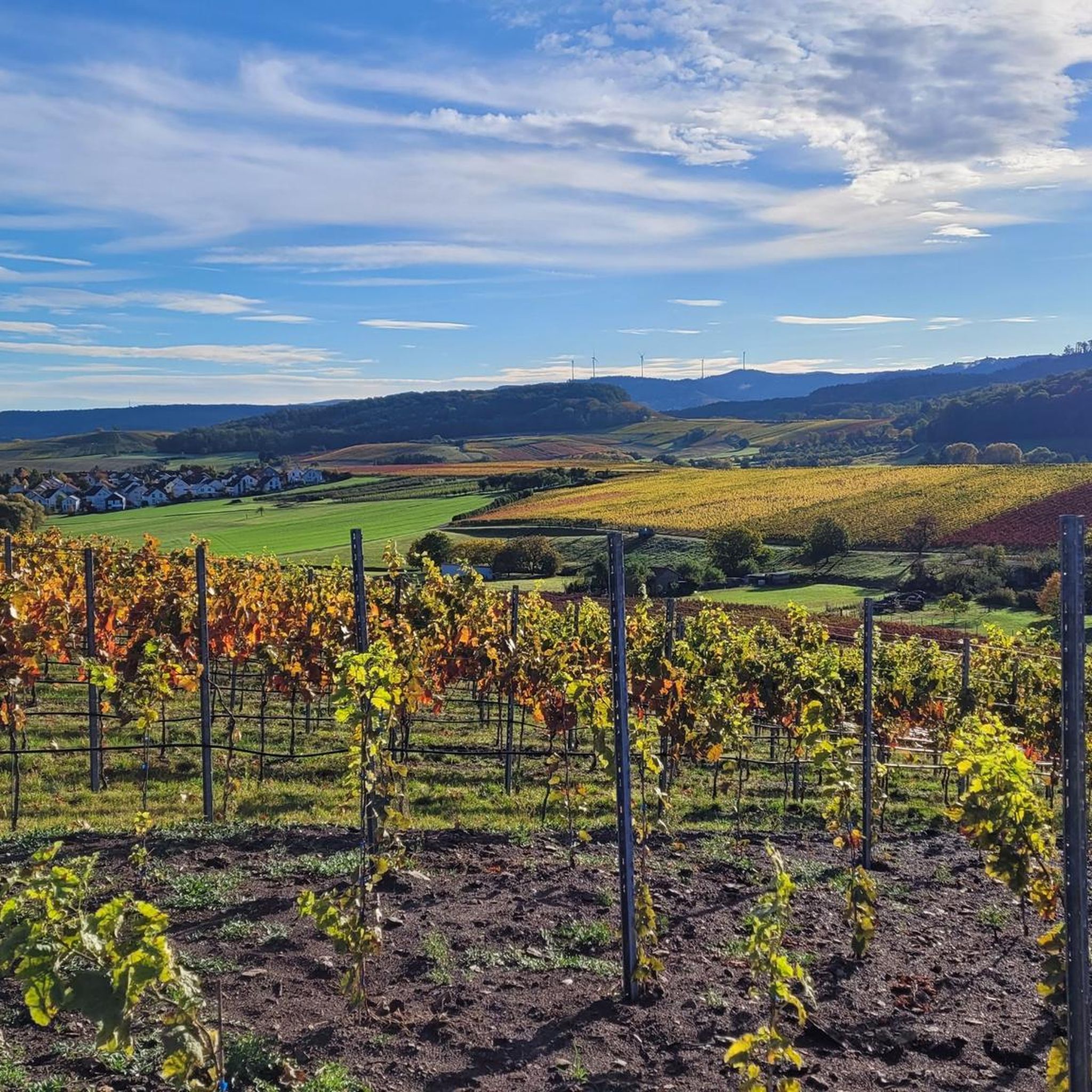
Jogging routes around Lehrensteinsfeld are set amidst picturesque vineyards and gently rolling hills, offering expansive views of the surrounding valleys. The region features dense forests, open fields, and river paths along the Neckar. This diverse landscape provides varied terrain suitable for different running preferences.
Best jogging routes around Lehrensteinsfeld
- The most popular jogging route is Heinrich wine tavern – Kilianskirche loop from Lehrensteinsfeld, a 5.9 miles (9.5 km) trail that takes 1 hour to complete. This moderate route passes…
Last updated: June 24, 2026
4.0
(3)
36
runners
9.74km
01:02
60m
60m
Moderate run. Good fitness required. Mostly paved surfaces. Suitable for all skill levels.
4.3
(3)
24
runners
Moderate run. Good fitness required. Mostly paved surfaces. Suitable for all skill levels.

Sign up for free
4.5
(2)
24
runners
10.5km
01:08
150m
150m
Moderate run. Good fitness required. Mostly paved surfaces. Suitable for all skill levels.
10
runners
15.6km
01:43
270m
270m
Hard run. Very good fitness required. Mostly paved surfaces. Suitable for all skill levels.
9
runners
16.9km
01:47
190m
190m
Hard run. Very good fitness required. Mostly paved surfaces. Suitable for all skill levels.
Get access to more routes and recommendations from other explorers.
Sign up for free
Already have an account?
Our route recommendations are based on thousands of hikes, rides, and runs completed by other people on komoot.
Start today with a free account
Your next adventure awaits.
Login or Signup

Tips from the Community

The bridge was yesterday Unfortunately collapsed
0
0

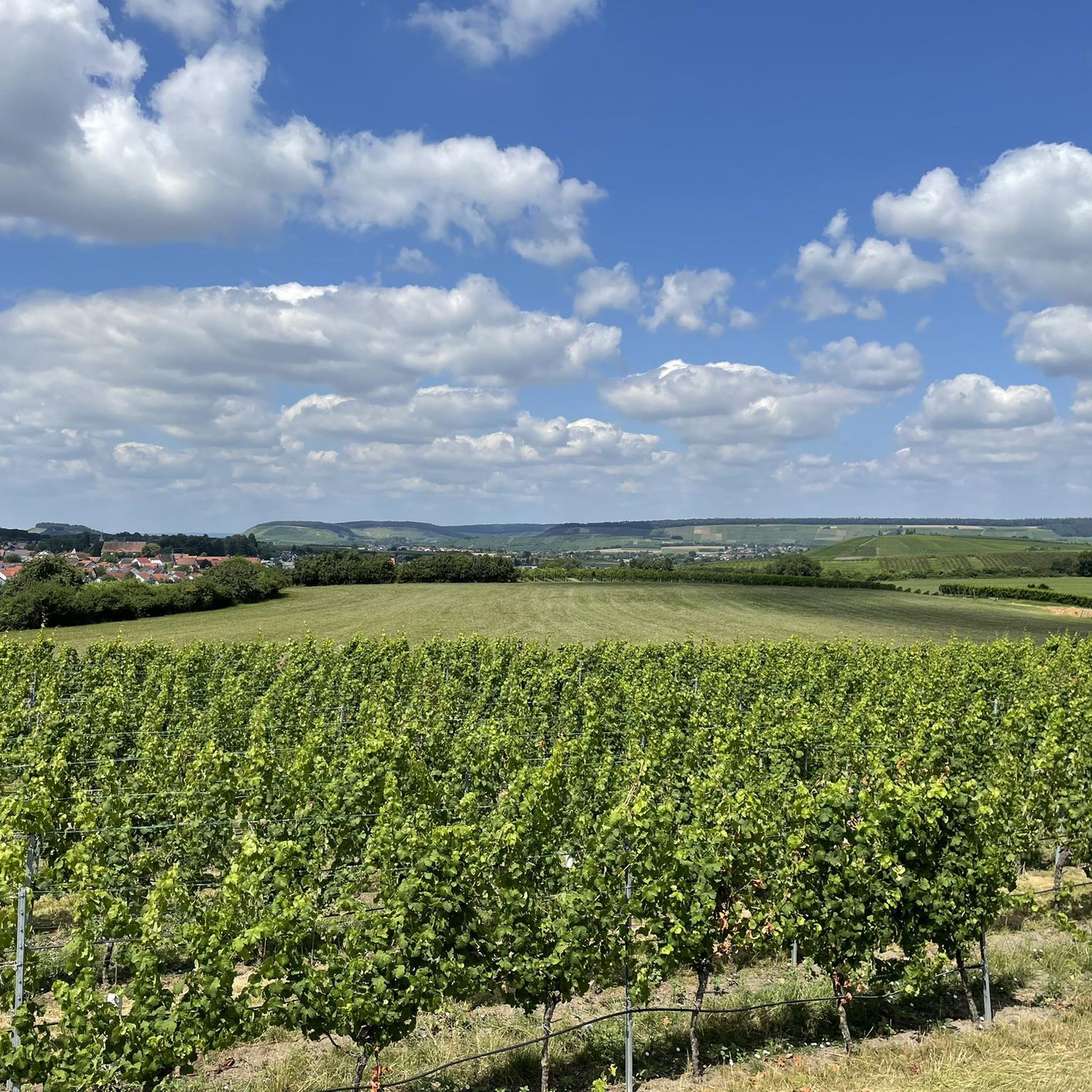
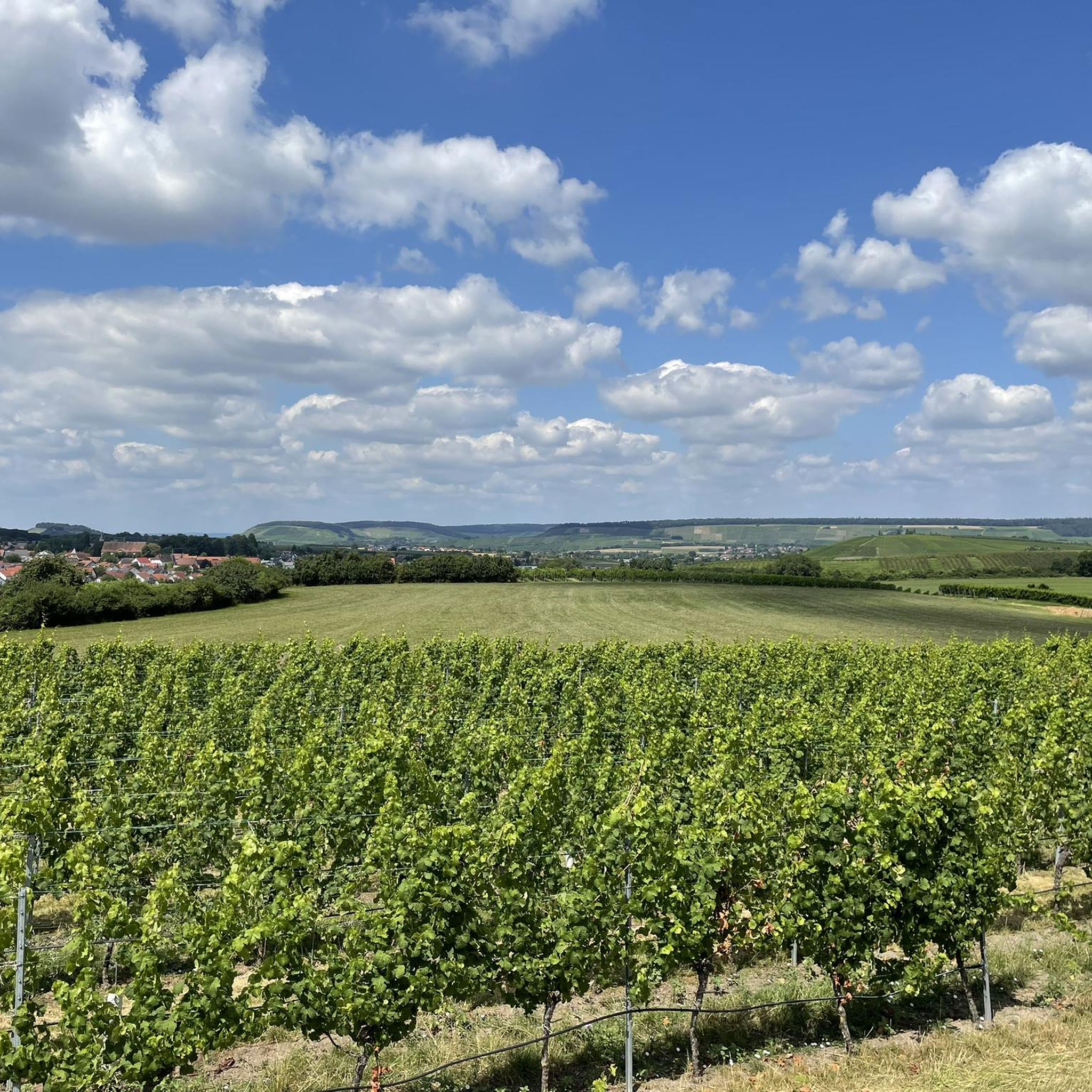
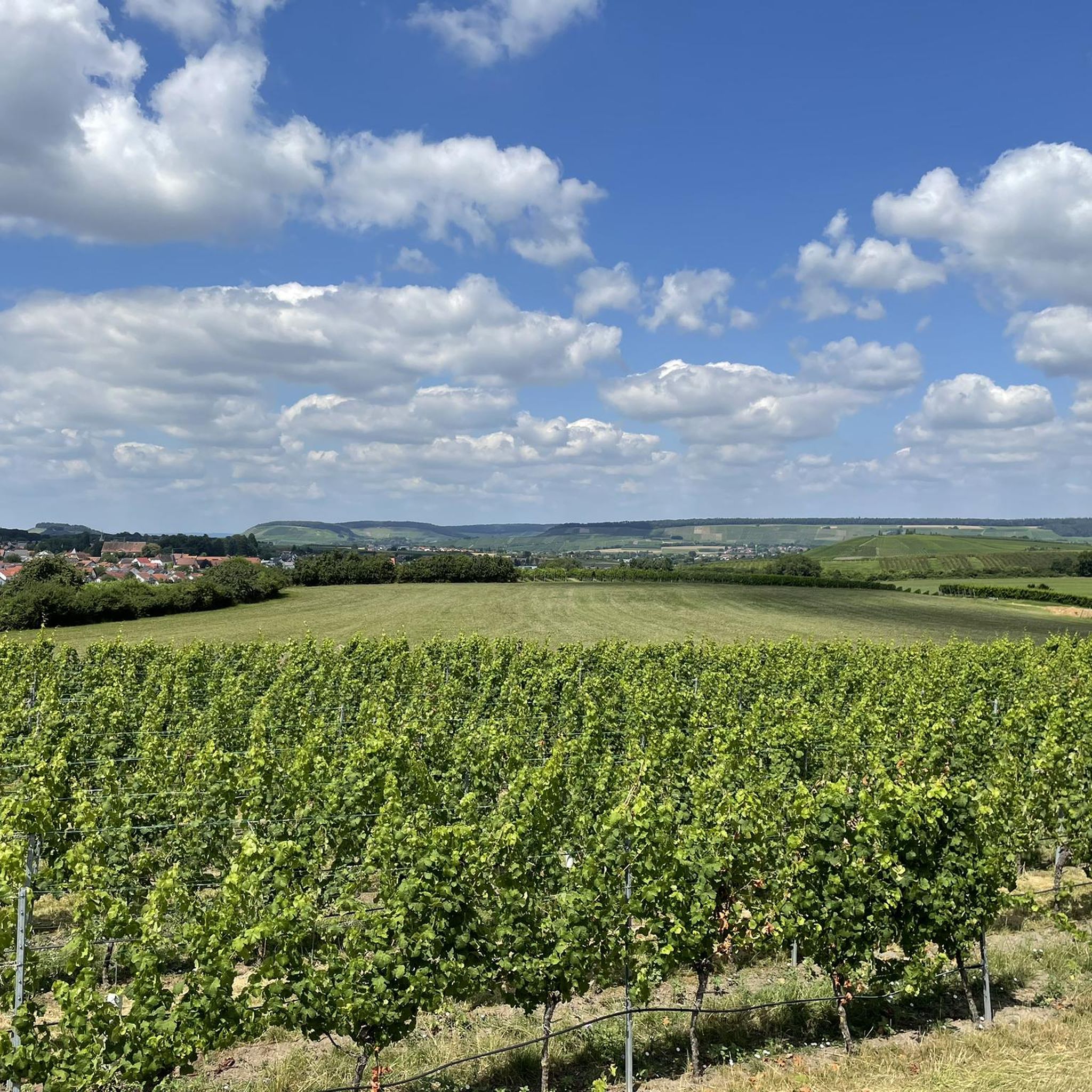
From the surrounding vineyards and farm tracks, you always have a great view of the lake.
1
0

St. Kilian's Church in Sülzbach was built around the year 800 and is thus considered the mother church of the Weinsberg Valley. Originally, it was a fortified church, as the tower dates back to around 1200, when it also served as a defensive tower. The nave, however, was built between 1616 and 1619. Inside, the ceiling is a coffered design, with each of the 210 panels featuring a different motif. In the churchyard, against the southern wall, stands a replica of the penitential cross erected by Michael Beheim. Beheim, born in 1416, was the mayor of Sülzbach, a Meistersinger (a type of singer), a chronicler, and a soldier. He was likely murdered by highwaymen around 1474 on the road to Lehrensteinsfeld.
0
0

Bike station with tools and air pump
0
0

It was fenced in for a long time, next door is a pizzeria and a sports field, now you can walk around.
0
1
The Lehrensteinsfeld village pond provides a habitat for water-loving animals. It also serves as a firefighting pond.
0
0
The defensive tower in Lehrensteinsfeld was originally part of a Gothic fortified church and was built in 1466. Around 1900, the church lost its purpose due to a new construction. From 1904 to 1926, it was used as a wine press. After that, it was used as a gymnasium and event space for another 40 years before it was determined to be in danger of collapsing in 1968. Consequently, the nave was demolished. Several attempts to preserve and renovate the tower failed. The community tried to sell the former church tower for one Deutsche Mark in 1996. Reconstruction finally began in 2005 at the initiative of the "Support Association for the Reconstruction of the Defensive Tower." The project was completed in 2006.
0
0

Frequently Asked Questions
How many running routes are available around Lehrensteinsfeld?
There are over 30 dedicated running routes around Lehrensteinsfeld, catering to various fitness levels. The komoot community has explored these trails more than 200 times, highlighting the region's popularity among runners.
Are there easy running routes suitable for beginners in Lehrensteinsfeld?
Yes, Lehrensteinsfeld offers several easy running routes perfect for beginners or those looking for a relaxed jog. For instance, sections of the Schozachtal Cycle Path, built along a former railway line, provide minimal inclines and a comfortable, natural setting along the Schozach river.
What kind of scenery can I expect on the jogging trails in Lehrensteinsfeld?
The running trails in Lehrensteinsfeld offer a diverse range of scenic landscapes. You'll encounter picturesque vineyards, gently rolling hills with expansive views, dense forests, and open fields. Routes along the Neckar river also provide pleasant, shaded paths. The Autal nature reserve near Obersulm is particularly vibrant in spring with its magnificent wildflower meadows.
Are there any circular running routes in the area?
Yes, many running routes around Lehrensteinsfeld are circular, allowing you to start and finish at the same point. A popular moderate option is the Heinrich wine tavern – Kilianskirche loop from Lehrensteinsfeld, which is 5.9 miles (9.5 km) long and passes by a wine tavern and a historic church.
Can I find running routes with good views in Lehrensteinsfeld?
Absolutely. The region's rolling hills and vineyards provide numerous opportunities for scenic views. Routes incorporating the Wunnenstein Tower offer rewarding panoramic vistas for those willing to tackle some uphill sections. Another option is the Lehrensteinsfeld Watchtower – Lehrensteinsfeld Village Pond loop from Lehrensteinsfeld, which provides views of the Lehrensteinsfeld Watchtower.
Are there any running trails near lakes or water bodies?
Yes, the recreational area around Breitenauer See features paths suitable for lakeside jogs. You can explore routes like the View of Lake Breitenauer – Lake Breitenau loop from Lehrensteinsfeld, which is a more challenging 10.4 miles (16.7 km) route offering views of the lake. Other nearby lakes include Breitenauer Lake and Lake Anna.
What do other runners enjoy most about the trails in Lehrensteinsfeld?
The running trails in Lehrensteinsfeld are highly rated by the komoot community, with an average score of 4.3 stars from over 10 reviews. Runners often praise the diverse terrain, from vineyard paths to dense forests, and the beautiful, expansive views. The variety of routes, from easy to challenging, is also frequently highlighted.
Are there any longer, more challenging running routes for experienced runners?
For experienced runners seeking a challenge, Lehrensteinsfeld offers longer routes with more significant elevation gain. The Forest Throne – Wooden Bridge in the Forest loop from Lehrensteinsfeld is a difficult 9.3 miles (15.0 km) trail that leads through dense forest, taking approximately 1 hour 39 minutes to complete.
What are some notable landmarks or points of interest I might see while running?
Beyond the natural beauty, you might encounter interesting landmarks. The Heinrich wine tavern – Kilianskirche loop passes a historic church. The Lehrensteinsfeld Watchtower – Lehrensteinsfeld Village Pond loop offers views of the watchtower. Additionally, you could come across highlights like the Wall of sayings on the Rose and Wine Hiking Trail or the Druid House — Heilbronn Forest Adventure Trail.
Is Lehrensteinsfeld a good place for winter jogging?
While specific winter routes aren't highlighted, the diverse terrain of Lehrensteinsfeld, including forest paths and cycle paths like the Schozachtal and Neckartal, can offer suitable options for winter running, provided conditions are safe. Always check local weather and trail conditions before heading out.
Are there any running routes that are particularly good for families?
For families, routes with minimal inclines and well-maintained surfaces are ideal. Sections of the Schozachtal Cycle Path and the Neckartal Cycle Path offer smoother, often paved surfaces directly alongside the Neckar river, frequently shaded by large trees, making them comfortable for family outings.
What is the best time of year to go running in Lehrensteinsfeld?
Lehrensteinsfeld offers beautiful running conditions throughout much of the year. Spring is particularly vibrant with wildflower meadows in areas like the Autal nature reserve. The vineyards are stunning in late summer and autumn. The shaded forest and river paths provide relief during warmer summer months, while cooler temperatures in spring and autumn are often ideal for longer runs.
Most popular routes around Lehrensteinsfeld
Most popular attractions around Lehrensteinsfeld

Get inspired with the komoot mobile app


Explore more
Browse the best Running Trails & Routes in other regions.
