The best mountain hikes around Zell unter Aichelberg
5.0
(2)
17
hikers
7
hikes
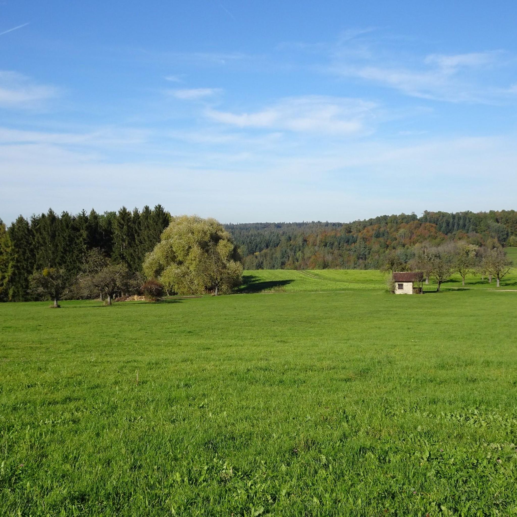
Mountaineering routes around Zell unter Aichelberg traverse a landscape characterized by diverse terrain, including valleys, prominent hills like Teckberg and Auchtert, and scenic viewpoints. The region features a mix of open areas offering expansive views and sections that may include forested paths, often following natural features such as the Fils river source or the Neidlingen Valley. Elevation changes are present, providing varied challenges for mountaineers.
Best mountaineering routes around Zell unter Aichelberg
- The most popular mountaineering route is Source of…
Last updated: July 15, 2026
5.0
(1)
3
hikers
9.83km
02:45
200m
200m
Moderate mountaineering route. Good fitness required. Easily-accessible paths. Suitable for all skill levels.
2
hikers
Moderate mountaineering route. Good fitness required. Mostly accessible paths. Sure-footedness required.

Sign up for free
5.0
(1)
6
hikers
2.82km
00:55
140m
140m
Easy mountaineering route. Great for any fitness level. Easily-accessible paths. Suitable for all skill levels.
5
hikers
12.5km
04:06
570m
570m
Moderate mountaineering route. Good fitness required. Easily-accessible paths. Suitable for all skill levels.
1
hikers
9.53km
03:07
400m
400m
Moderate mountaineering route. Good fitness required. Easily-accessible paths. Suitable for all skill levels.
Get access to more routes and recommendations from other explorers.
Sign up for free
Already have an account?
Our route recommendations are based on thousands of hikes, rides, and runs completed by other people on komoot.
Start today with a free account
Your next adventure awaits.
Login or Signup
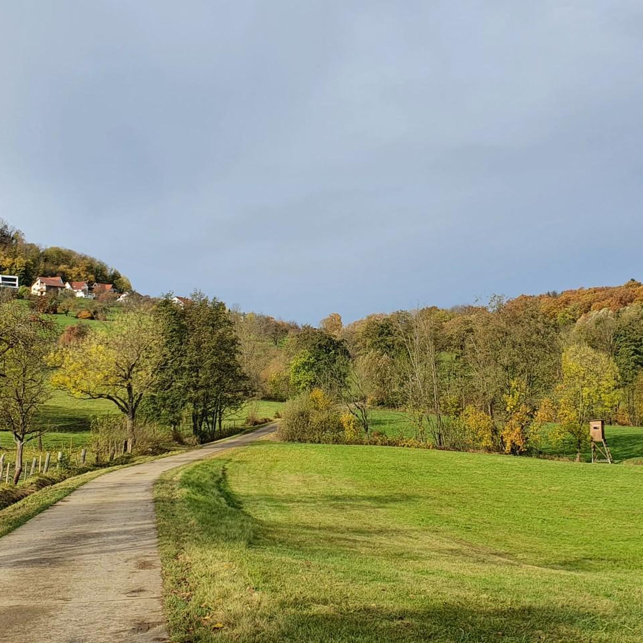
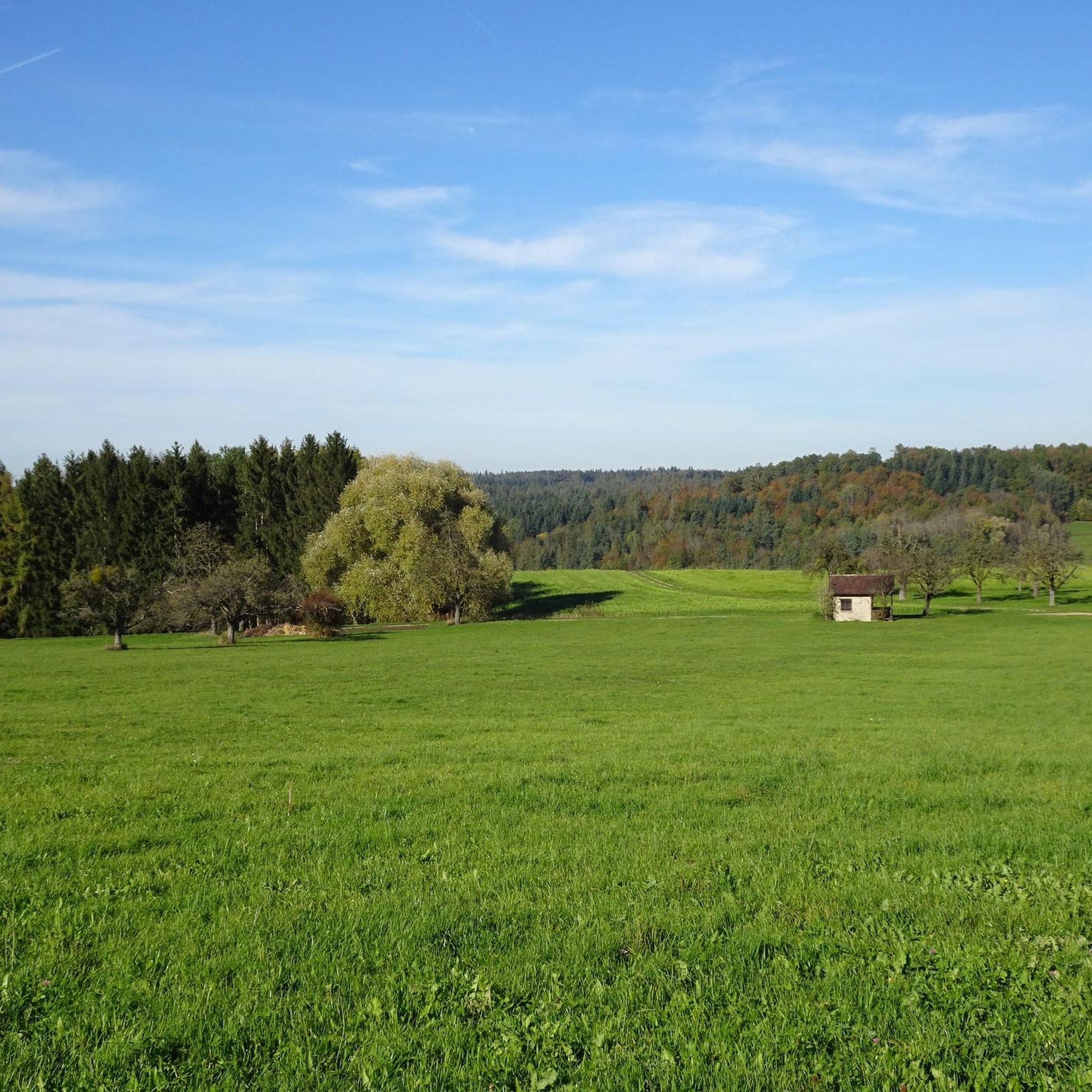
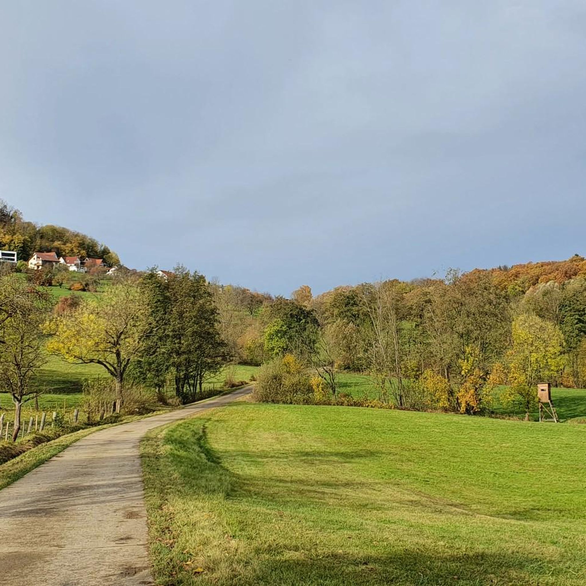
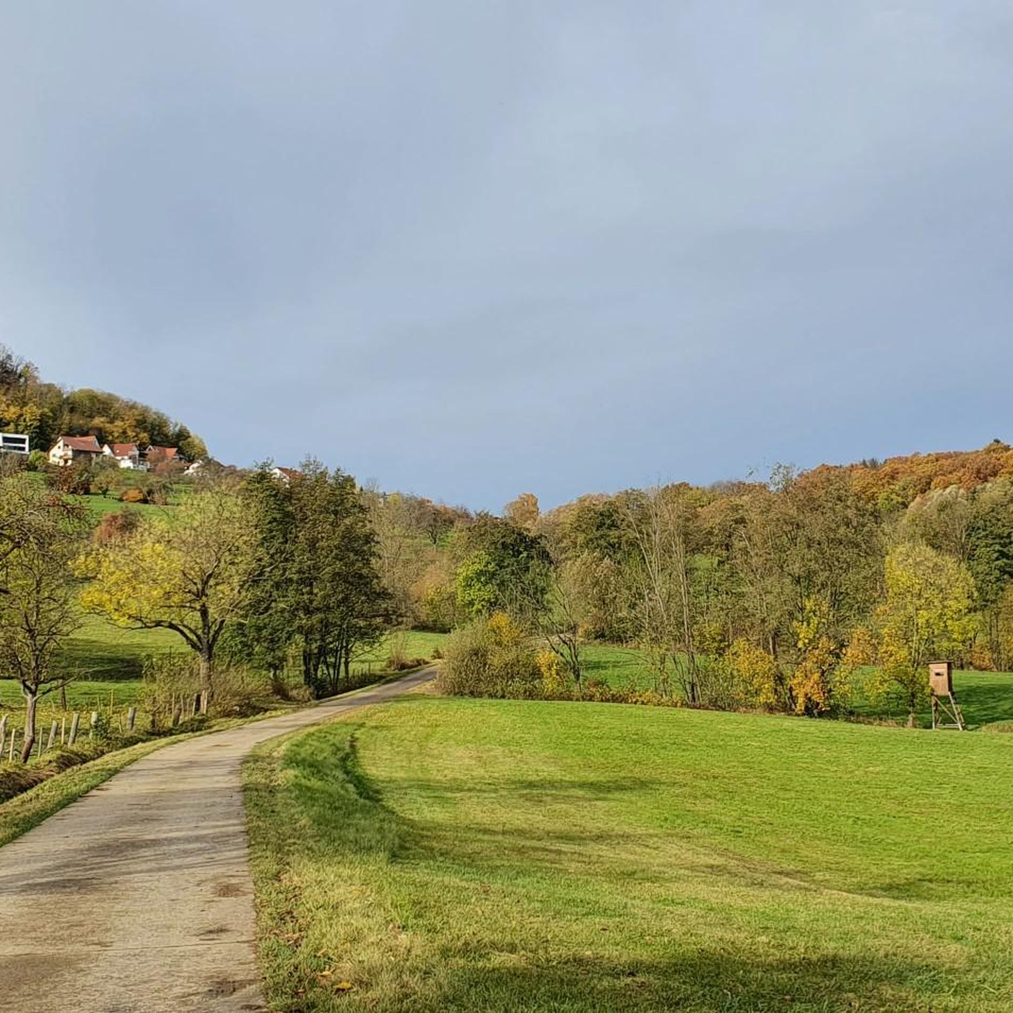
Tips from the Community

Here is a quiet bench where you can take a comfortable break
1
0

Beautiful plateau with great views and opportunities for further tours.
0
0

Viewpoint yellow rock with beautiful sunny view and distant view due to the Albtrauf and into the valley
1
0

Great view from the very well restored Rauber ruins
1
0
Viewpoint on Bissingen and a barbecue area can be found here
1
0
Short rest with a great view. Beautifully located. Great spot for further tours...
0
0

Many bridges cross the valley
0
0

The beautiful Zipfelbach Gorge is worth a visit at any time of year. The path leads over several bridges along the Zipfelbach and there is always something to discover.
4
1
Frequently Asked Questions
What is the general difficulty level of mountaineering routes around Zell unter Aichelberg?
The mountaineering routes in Zell unter Aichelberg cater to a range of abilities. There are 2 easy routes, perfect for beginners or a relaxed outing, and 5 moderate routes for those seeking a bit more challenge. There are no difficult routes listed in this guide, making the area accessible for many.
Are there any family-friendly mountaineering routes in Zell unter Aichelberg?
Yes, there are family-friendly options available. For instance, the Teckberg loop from Owen is an easy route, making it suitable for families looking for a less strenuous mountaineering experience.
What kind of views can I expect on these mountaineering routes?
The routes offer diverse and scenic views. Many paths provide expansive vistas over the Neidlingen Valley, as seen on the Source of the Fils – View of Neidlingen Valley loop from Wiesensteig. You can also expect to encounter prominent hills like Teckberg and Auchtert, and specific viewpoints such as the Gelber Fels Viewpoint, which is part of the Teck Castle – Gelber Fels Viewpoint loop from Bissingen an der Teck.
Are there any circular mountaineering routes in the area?
Yes, many of the mountaineering routes around Zell unter Aichelberg are circular, offering convenient starting and ending points. Examples include the Source of the Fils – View of Neidlingen Valley loop from Wiesensteig, the Auchtert – Mörikefels loop from Randecker Maar mit Zipfelbachschlucht, and the Teckberg loop from Owen.
What is the typical length and duration of mountaineering routes here?
The routes vary in length and duration. You can find shorter options like the Teckberg loop from Owen, which is about 2.8 km and takes around 55 minutes. Longer routes, such as the Teck Castle – Gelber Fels Viewpoint loop from Bissingen an der Teck, can be up to 12.5 km and take over 4 hours.
What kind of natural attractions or landmarks can I explore along the routes?
The region is rich in natural and historical landmarks. You can discover the Neidlingen Waterfall, explore fascinating geological formations like the Windloch Rock Arch at Veronikahöhle, or visit historical sites such as Teck Castle. There are also several caves, including the Sibyllenloch Cave beneath Teck Castle and Veronika Cave.
Is Zell unter Aichelberg suitable for winter mountaineering?
While the region offers beautiful landscapes year-round, winter mountaineering requires extra caution due to potentially icy or snowy conditions, especially on higher elevations or shaded paths. It's always advisable to check local weather forecasts and trail conditions before heading out in winter.
What do other mountaineers say about the routes in Zell unter Aichelberg?
The mountaineering routes in Zell unter Aichelberg are highly regarded by the komoot community, with an average score of 5.0 stars. Users often praise the varied terrain, scenic viewpoints, and the mix of open areas and forested paths that define the experience.
Are dogs allowed on the mountaineering trails?
Generally, dogs are welcome on most public trails in the region. However, it's always best to keep them on a leash, especially in nature reserves, near livestock, or in areas with wildlife. Always carry waste bags and ensure your dog is well-behaved and doesn't disturb other hikers or the environment.
When is the best time of year to go mountaineering in Zell unter Aichelberg?
The best time for mountaineering in Zell unter Aichelberg is typically from spring to autumn (April to October). During these months, the weather is generally milder, trails are clear of snow and ice, and the natural scenery is at its most vibrant. Summer offers longer daylight hours, while spring and autumn provide pleasant temperatures and beautiful foliage.
Are there any routes that pass by historical ruins or castles?
Yes, the region offers routes that incorporate historical elements. For example, the Breitenstein Viewpoint – Rauber Ruins loop from Bissingen an der Teck takes you past the Rauber Ruins, adding a historical dimension to your mountaineering adventure.
Most popular routes around Zell unter Aichelberg
Most popular attractions around Zell unter Aichelberg

Get inspired with the komoot mobile app


Explore more
Browse the best Mountain Hikes & Routes in other regions.
