The best running trails around Rechberghausen
4.4
(12)
368
runners
28
runs
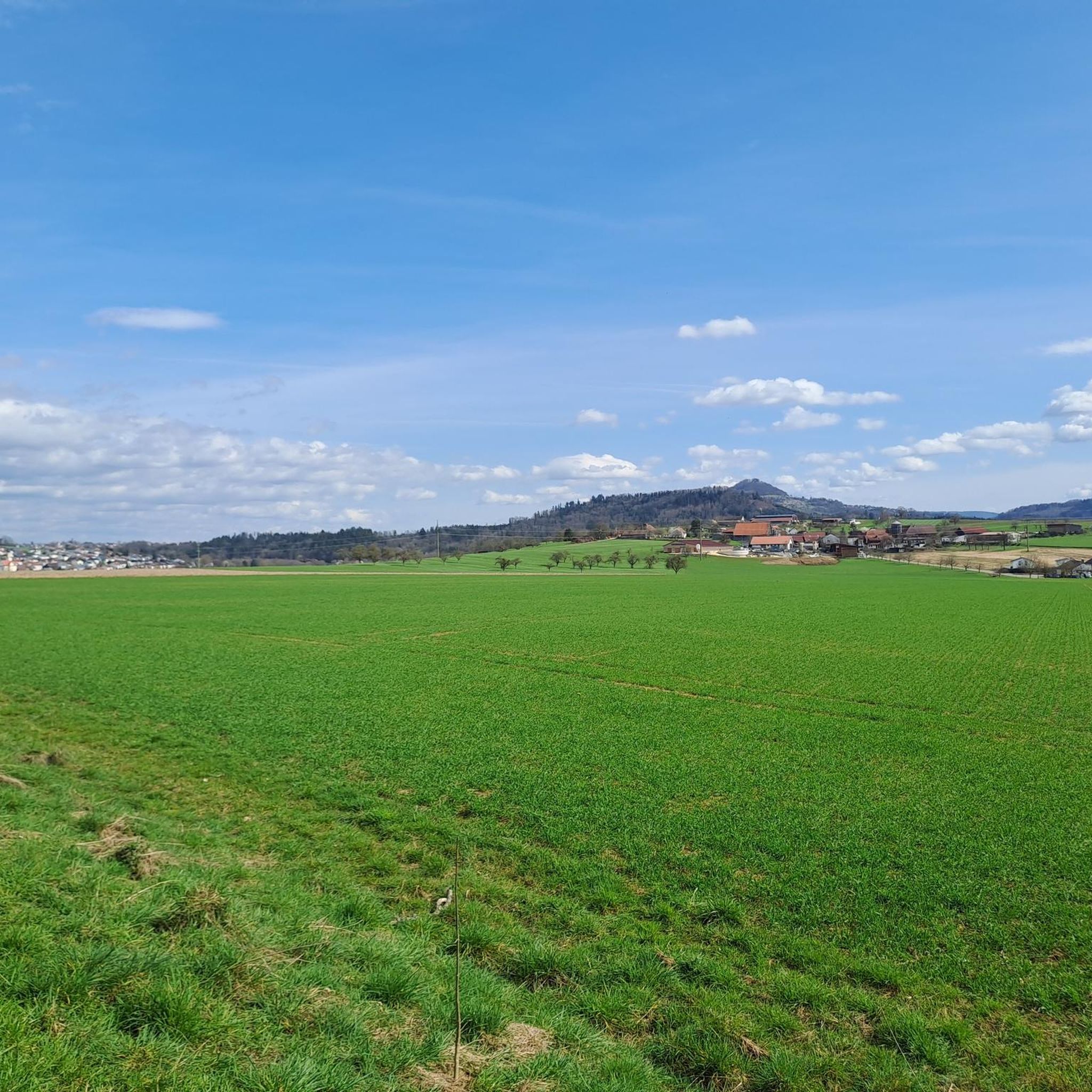
Jogging routes around Rechberghausen offer diverse landscapes at the foot of the Swabian Alb and on the edge of the eastern Schurwald. The region features rolling hills, lush green meadows, and dense forests, providing varied terrain for runners. Elevations range from 320 to 400 meters above sea level, with some routes offering views of the "Kaiserberge" and the Stauferland region. This blend of natural features creates a scenic environment for outdoor activities.
Best jogging routes around Rechberghausen
- The most popular…
Last updated: October 20, 2026
4.0
(2)
31
runners
31.0km
03:19
300m
300m
Hard run. Very good fitness required. Mostly accessible paths. Some sure footedness required.
3.0
(1)
27
runners
14.6km
01:34
200m
200m
Moderate run. Good fitness required. Mostly paved surfaces. Suitable for all skill levels.

4.0
(1)
20
runners
18.6km
02:01
220m
220m
Hard run. Very good fitness required. Mostly paved surfaces. Suitable for all skill levels.
5.0
(2)
20
runners
5.61km
00:36
80m
80m
Moderate run. Good fitness required. Mostly paved surfaces. Suitable for all skill levels.
9
runners
11.6km
01:13
100m
100m
Moderate run. Good fitness required. Mostly paved surfaces. Suitable for all skill levels.
Get access to more routes and recommendations from other explorers.
Already have an account?
Our route recommendations are based on thousands of hikes, rides, and runs completed by other people on komoot.
Start today with a free account
Your next adventure awaits.


Tips from the Community

Part of the cycle and hiking path of the former Hohenstaufenbahn https://de.wikipedia.org/wiki/Hohenstaufenbahn Connection between Göppingen and Schwäbisch Gmünd
0
0

Schloss Rechberghausen is idyllically located in the town center and shapes the town's appearance with its historic facade. The former castle complex looks back on a long history and is reminiscent of the time of the Rechberger rule. Today, the castle is a beautiful testament to regional history.
0
0

Rechberghausen Nature Playground
1
0

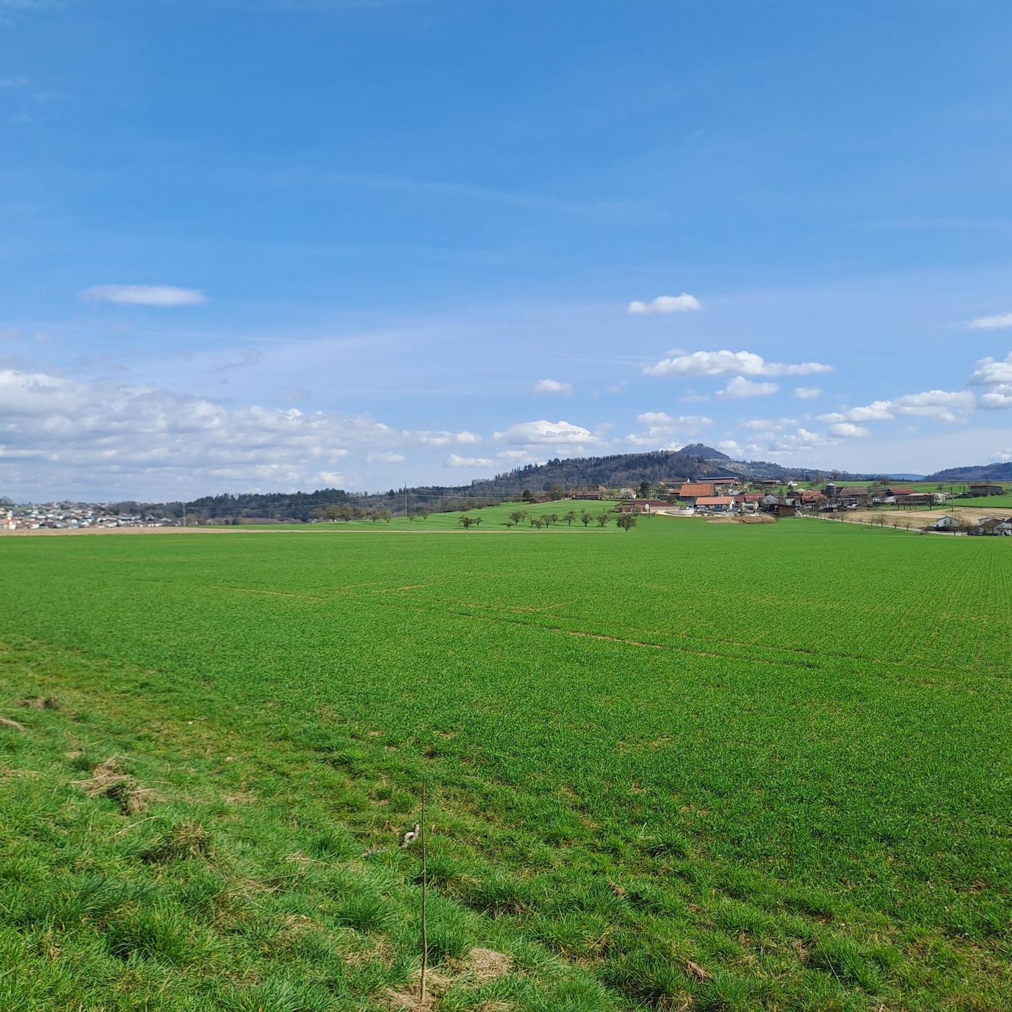
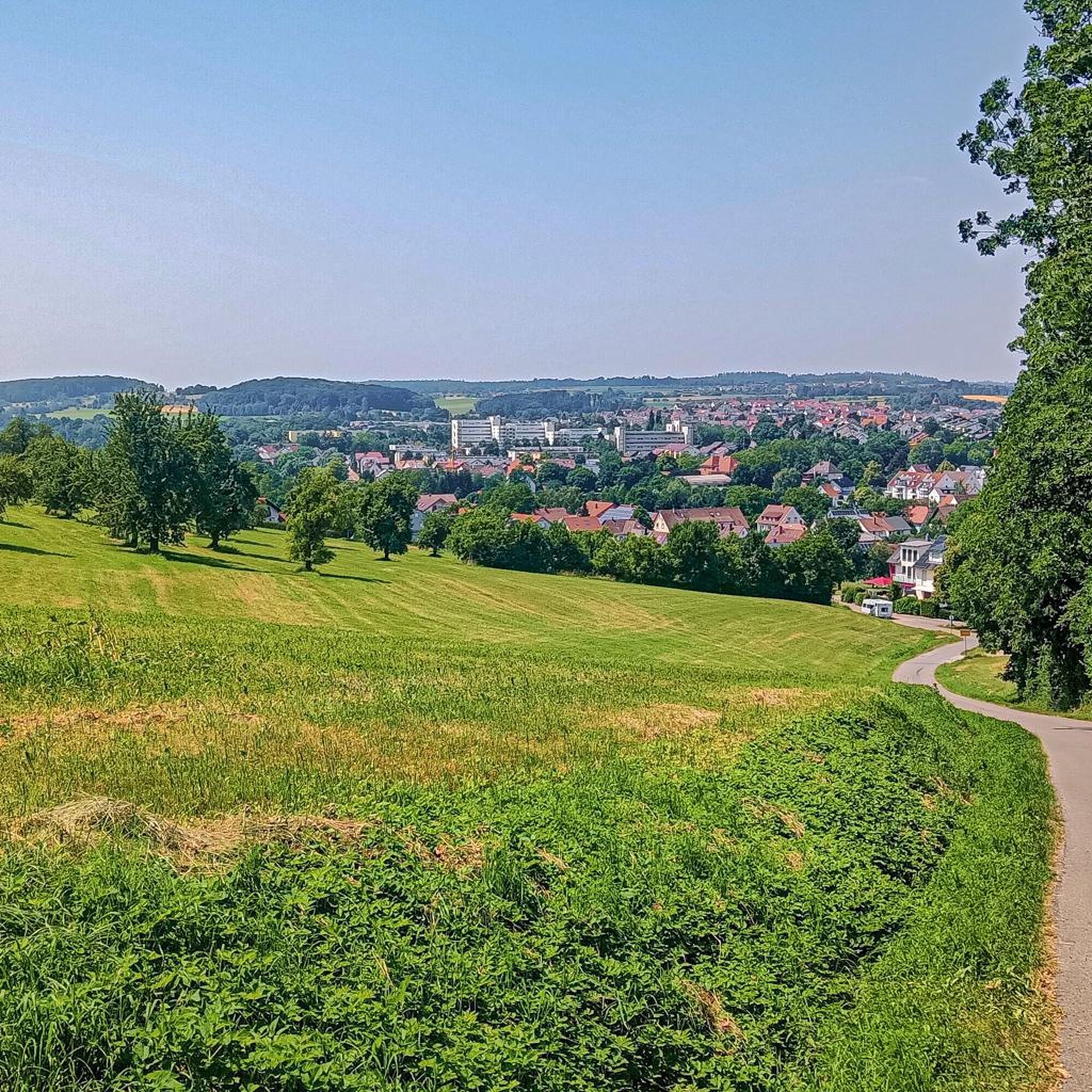
Beautiful view from the south of the village "Vor dem Lindach".
2
1
Long, narrow building with a massive mansard roof, two stories high on the south side and three stories high on the north side.
2
1
Beautifully restored old train station in Rechberghausen!
2
1

With a little luck, a few geese or other birds will frolic in the pond and can be observed
0
0
Beautifully renovated castle, which you would not expect to find here
0
0
Frequently Asked Questions
What kind of terrain can I expect on running routes around Rechberghausen?
Jogging routes around Rechberghausen feature diverse terrain, from rolling hills and lush green meadows to dense forests. You'll find varied landscapes at the foot of the Swabian Alb and on the edge of the eastern Schurwald, with elevations ranging from 320 to 400 meters above sea level. Some trails offer more challenging ascents and descents, while others provide gentler slopes for an easier run.
Are there running routes suitable for beginners in Rechberghausen?
Yes, Rechberghausen offers routes for various fitness levels. While the guide highlights moderate and difficult options, the overall network includes easier runs. For example, the Running loop from Rechberghausen is a moderate 3.5 miles (5.6 km) trail with manageable elevation, often completed in about 35 minutes, making it a good option for those building stamina.
What are some scenic viewpoints or natural features to look out for while jogging?
The region is rich in scenic spots. Many routes offer views of the 'Kaiserberge' and the Stauferland region. You can also enjoy the extensively designed Landschaftspark Grüne Mitte, which features the Sommertraumsee and the Aussichtsturm Luftikus observation tower, providing panoramic views of the Schurwald, Filstal valley, and Albtrauf escarpment. For a unique experience, some trails traverse gorges like the Schelmenklinge Water Features with impressive sandstone cliffs.
Are there any circular running routes in the area?
Yes, many of the running routes around Rechberghausen are circular, allowing you to start and finish at the same point. A popular option is the View of the Lake – Herrenbach Reservoir loop from Rechberghausen, a 9.1 miles (14.6 km) trail offering scenic views of the reservoir. Another great choice is the Scenic viewpoint – View of Wangen loop from Rechberghausen, a moderate 3.7 miles (5.9 km) path with panoramic views.
What do other runners enjoy most about jogging in Rechberghausen?
The running routes in Rechberghausen are highly rated by the komoot community, with an average score of 4.4 stars from more than 15 reviews. Runners often praise the diverse landscapes, including rolling hills, dense forests, and green meadows, which provide a refreshing and scenic environment for their runs. The variety of routes catering to different ability levels is also frequently appreciated.
Can I find longer, more challenging running trails in Rechberghausen?
Absolutely. For those seeking a more demanding run, there are several difficult trails available. The Stadtwirt’s Beer Garden loop from Rechberghausen is a challenging 19.1 miles (30.7 km) route with significant elevation gain, while the Burgholz loop from Rechberghausen covers 11.6 miles (18.6 km) through varied terrain, both requiring good basic fitness.
Are there any historical landmarks or castles I can see near the running paths?
Yes, you can integrate historical exploration into your run. The region features several historical elements, such as the Upper Gate (Oberes Tor), the only preserved town gate in the Göppingen district. You might also encounter the Hohenstaufen Castle Ruins and Viewpoint or the Hohenrechberg Castle Ruins, which offer panoramic views and are accessible via scenic paths.
What is the typical length of running routes in Rechberghausen?
The running routes around Rechberghausen vary significantly in length. You can find shorter paths, such as the Running loop from Rechberghausen at 3.5 miles (5.6 km), perfect for a quick jog. Longer routes, like the Stadtwirt’s Beer Garden loop from Rechberghausen, extend up to 19.1 miles (30.7 km), catering to endurance runners.
Are there any family-friendly areas or attractions near the running trails?
The Landschaftspark Grüne Mitte is a central hub for relaxation and activity, making it suitable for family outings that can incorporate jogging. It features the Sommertraumsee, the Aussichtsturm Luftikus, a 'pirschpfad' (stalking path), and an adventure playground. While not all running routes are designed for families with small children, the park offers a great starting or ending point for a family-friendly activity.
How many running routes are available in Rechberghausen?
There are over 25 dedicated running routes around Rechberghausen listed on komoot, offering a wide variety of options for different preferences and fitness levels. These include easy, moderate, and difficult trails, ensuring there's something for every runner.
Is there public transport access to the jogging routes in Rechberghausen?
Rechberghausen is well-connected within the region, and local public transport options are available. While specific route starting points may vary in their direct accessibility, the town itself serves as a good base. It's advisable to check local bus schedules for connections to specific trailheads if you plan to rely on public transport.
Are there any specific considerations for running in Rechberghausen during different seasons?
Rechberghausen's diverse landscapes, with forests and meadows, offer a refreshing environment year-round. In spring and summer, the lush greenery is vibrant, while autumn brings beautiful foliage. Winter running is also possible, though conditions may vary, especially on higher or more exposed sections. Always check local weather forecasts and trail conditions, particularly after heavy rain or snowfall, as some paths might become muddy or slippery.
Most popular routes around Rechberghausen
Most popular attractions around Rechberghausen

Get inspired with the komoot mobile app


Explore more
Browse the best Running Trails & Routes in other regions.
