The best mountain hikes around Böhmenkirch
5.0
(1)
12
hikers
5
hikes
Mountaineering routes around Böhmenkirch traverse a landscape characterized by the Swabian Jura, featuring limestone cliffs, dense woodlands, and rolling hills. The region offers varied terrain, from elevated viewpoints to paths winding through valleys. These routes provide opportunities to explore the natural features of the area, including rock formations and forested sections.
Best mountaineering routes around Böhmenkirch
- The most popular mountaineering route is Hausener Cliff – Hausen Rocks loop from Bad Überkingen, a 9.1 miles (14.7 km) trail that takes…
Last updated: October 18, 2026
4
hikers
Moderate mountaineering route. Good fitness required. Easily-accessible paths. Suitable for all skill levels.
1
hikers
11.8km
03:24
290m
290m
Moderate mountaineering route. Good fitness required. Easily-accessible paths. Suitable for all skill levels.

2
hikers
Moderate mountaineering route. Good fitness required. Easily-accessible paths. Suitable for all skill levels.
3
hikers
14.3km
04:36
580m
580m
Moderate mountaineering route. Good fitness required. Mostly accessible paths. Sure-footedness required.
5.0
(1)
2
hikers
7.54km
02:29
330m
330m
Moderate mountaineering route. Good fitness required. Mostly accessible paths. Sure-footedness required.
Our route recommendations are based on thousands of hikes, rides, and runs completed by other people on komoot.
Start today with a free account
Your next adventure awaits.
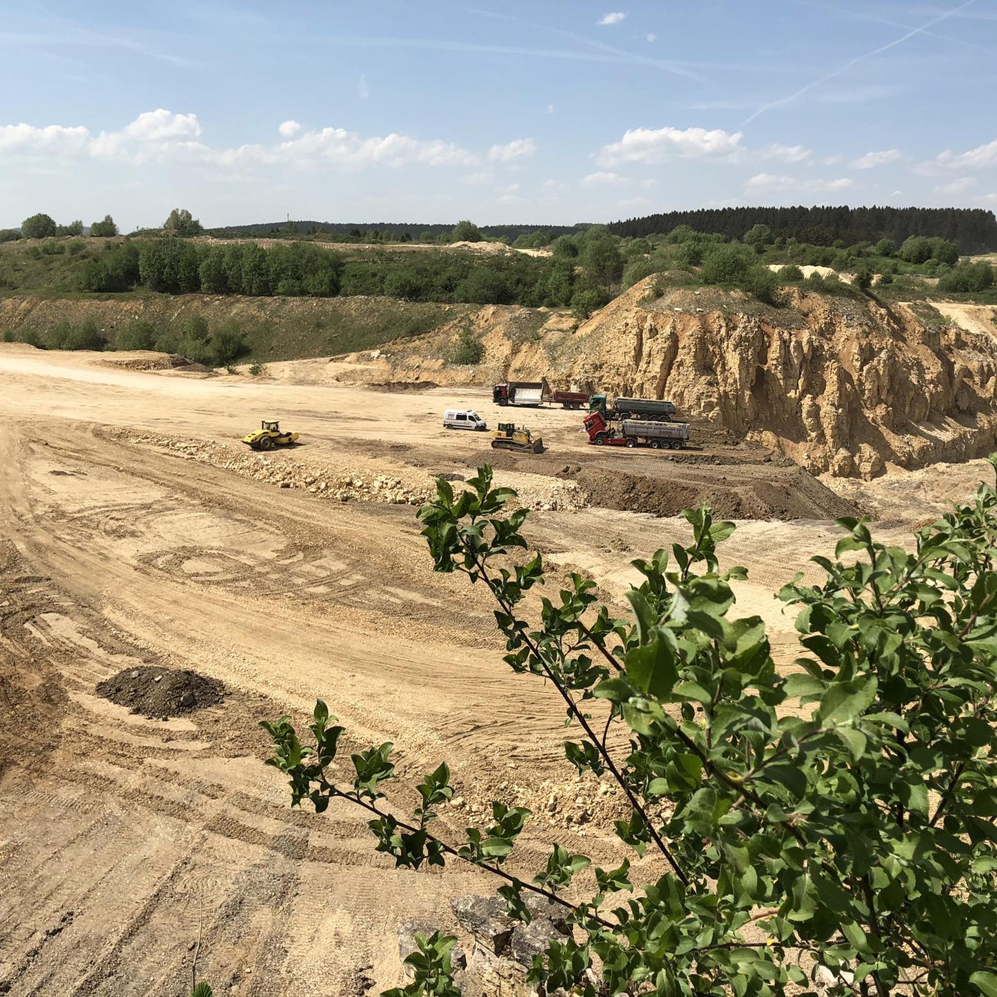

Tips from the Community

Super view of the three Kaiser Mountains
0
0

Lined with interesting additions such as the old stone crusher machine with belt drive and an ecological tree socket. Although a top-maintained wellhead, unfortunately no drinking water.
1
0
The Kleine Hausener Wand is popular as a viewpoint and among climbers. The exact location and access can be found at: https://www.thecrag.com/de/klettern/germany/schwaebische-alb/area/249677571
1
0
The Traufweg trail at the Michelberg always runs along the edge of the Tafelberg. Those who are not afraid of heights can repeatedly enjoy deep views from the battlements of the Hausener Wand into the valley.
1
0

Fortunately not. Imagine if there were signs and railings at all the dangerous spots on the Alb. Then not much would be left of the Alb. Recently, near Bad Urach, I was alerted by a sign that there are forest dangers in the woods. Very disturbing.
0
0

Absolute top viewpoint down into the beautiful Filstal
0
0
Art at the village fountain, something different 👍
0
0
Super beautiful singletrack to the Hausener Wand
1
0
Frequently Asked Questions
How many mountaineering routes are available around Böhmenkirch?
There are currently 5 mountaineering routes detailed around Böhmenkirch on komoot. These routes offer a variety of experiences within the region's characteristic landscape of the Swabian Jura.
What is the typical duration for mountaineering routes in Böhmenkirch?
Mountaineering routes in Böhmenkirch typically range from around 2 hours 25 minutes to 4 hours 35 minutes to complete. For example, the Viewpoint on the Rosenstein – Rosenstein Castle Ruins loop from Heubach is one of the shorter options, while the Stuifen — Summit and Viewpoint – Reiterles Chapel loop from Waldstetten is among the longer ones.
Are there any circular mountaineering routes in the area?
Yes, all the mountaineering routes listed for Böhmenkirch are circular. This allows you to start and end your tour at the same point, making logistics simpler. An example is the Hausener Cliff – Hausen Rocks loop from Bad Überkingen.
What kind of elevation gain can I expect on these routes?
The mountaineering routes around Böhmenkirch feature moderate elevation gains, typically ranging from about 290 meters (950 ft) to 575 meters (1886 ft). The Mordloch Cave – Karl-Vorbrugg Hut loop from Schnittlingen has one of the lower elevation gains, while the Stuifen — Summit and Viewpoint – Reiterles Chapel loop from Waldstetten involves a more significant ascent.
Are the mountaineering routes in Böhmenkirch suitable for beginners?
All the mountaineering routes in Böhmenkirch are currently rated as 'moderate' in difficulty. While they don't require advanced mountaineering skills, they do involve sustained ascents and descents, making them suitable for those with a reasonable level of fitness and some hiking experience.
What are some interesting natural features or landmarks to see along the routes?
The region is rich in natural beauty and historical sites. You can explore fascinating geological formations like the Moss-Covered Tufa Rocks and Springs or the Sinter Terraces of the Rötelbach. For historical interest, the Rosenstein Castle Ruins are also accessible near some routes.
Are there any waterfalls near the mountaineering trails?
Yes, the Böhmenkirch area is home to several beautiful waterfalls and tufa formations. You might encounter the Teufelsklinge Waterfall or the Lauter Waterfalls at Lappertal-Strässchen, which add a scenic element to your outdoor adventure.
What is the best time of year for mountaineering in Böhmenkirch?
The best time for mountaineering in Böhmenkirch is typically from spring through autumn (April to October). During these months, the weather is generally milder, and the trails are clear of snow and ice, offering the most pleasant conditions for exploring the Swabian Jura.
Are there options for refreshments or pubs near the mountaineering routes?
While specific pubs directly on every trail are not guaranteed, many routes pass through or near villages where you can find local eateries or guesthouses. The Knörzerhaus – Hornberg Airfield loop from Kaltes Feld mit Hornberg, Galgenberg und Eierberg, for instance, passes by the Knörzerhaus, which can be a good spot for a break.
What do other mountaineers enjoy most about the routes in Böhmenkirch?
The mountaineering routes in Böhmenkirch are highly rated by the komoot community, with an average score of 5.0 stars. Reviewers often praise the varied terrain, which includes limestone cliffs, dense forests, and open hilltops, as well as the well-maintained paths that offer a rewarding outdoor experience.
Is public transport available to access the mountaineering routes?
Access to specific trailheads by public transport can vary. While some villages near the routes may have bus connections, it's often more convenient to reach the starting points by car. We recommend checking local bus schedules for the specific starting point of your chosen route.
Are there less crowded mountaineering routes in Böhmenkirch?
While the region is popular, you can often find quieter experiences by choosing routes that are slightly off the main tourist paths or by visiting during off-peak hours. The routes around Böhmenkirch offer a good balance, allowing for peaceful exploration of the natural landscape.
Most popular routes around Böhmenkirch
Most popular attractions around Böhmenkirch

Get inspired with the komoot mobile app


Explore more
Browse the best Mountain Hikes & Routes in other regions.
