The best mountain hikes around Lobbach
5.0
(4)
9
hikers
4
hikes
Mountaineering around Lobbach offers routes through the varied landscape of the Rhein-Neckar-Kreis. The region is characterized by its rolling hills, dense woodlands, and historical castle ruins. Elevation changes are present on many routes, providing a physical challenge for mountaineers. The terrain often includes forest paths and open sections with views of the surrounding valleys.
Best mountaineering routes around Lobbach
- The most popular mountaineering route is Eberbach castle ruins – Emichsburg Ruins loop from Eberbach, a 13.9 miles (22.3 km)…
Last updated: July 1, 2026
5.0
(2)
2
hikers
22.3km
06:34
610m
610m
Hard mountaineering route. Very good fitness required. Easily-accessible paths. Suitable for all skill levels.
1
hikers
8.57km
02:45
340m
340m
Moderate mountaineering route. Good fitness required. Mostly accessible paths. Sure-footedness required.

Sign up for free
5.0
(1)
3
hikers
12.4km
03:46
440m
440m
Moderate mountaineering route. Good fitness required. Easily-accessible paths. Suitable for all skill levels.
5.0
(1)
2
hikers
15.0km
04:40
560m
560m
Moderate mountaineering route. Good fitness required. Easily-accessible paths. Suitable for all skill levels.
1
hikers
9.61km
02:44
220m
220m
Moderate mountaineering route. Good fitness required. Easily-accessible paths. Suitable for all skill levels.
Our route recommendations are based on thousands of hikes, rides, and runs completed by other people on komoot.
Start today with a free account
Your next adventure awaits.
Login or Signup
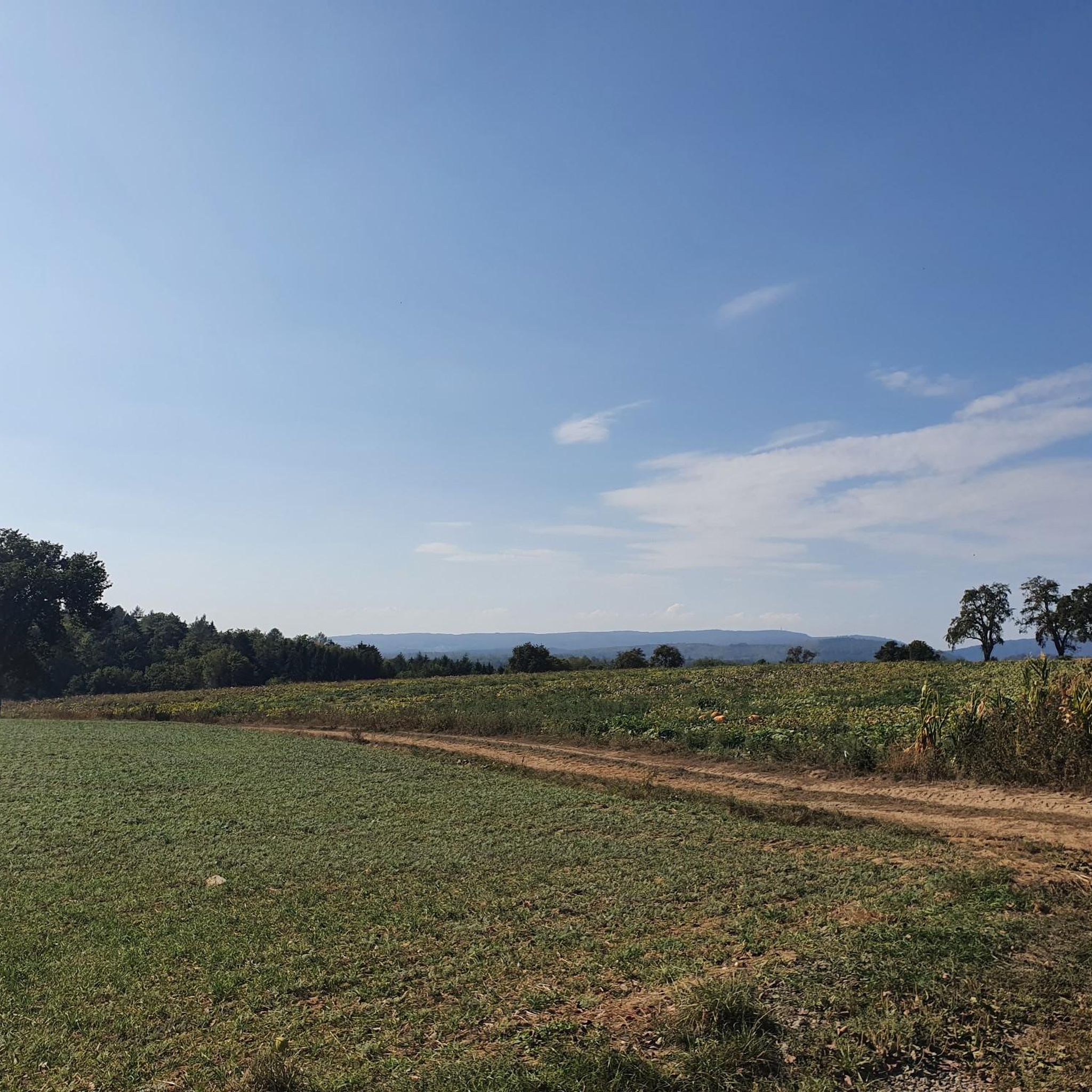
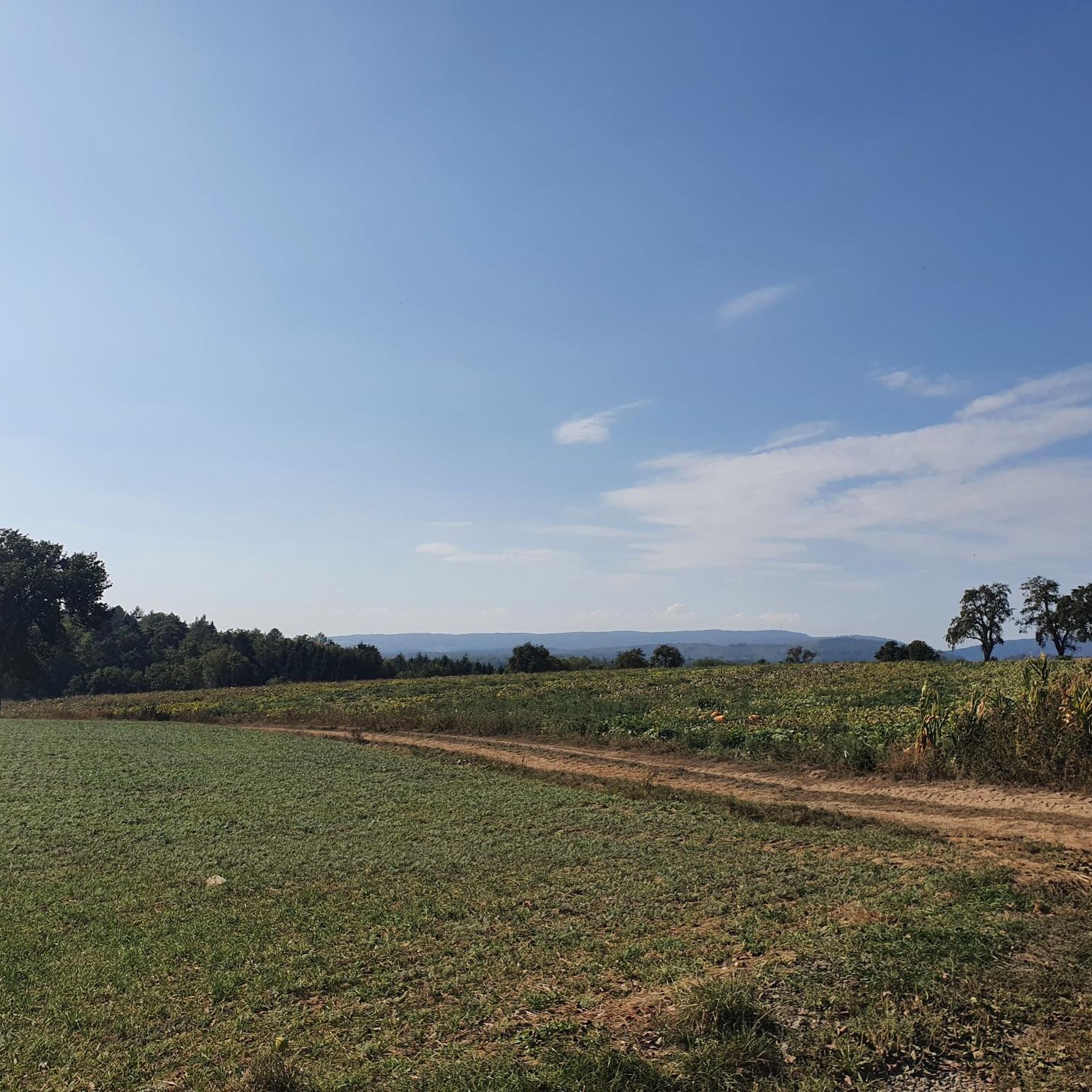
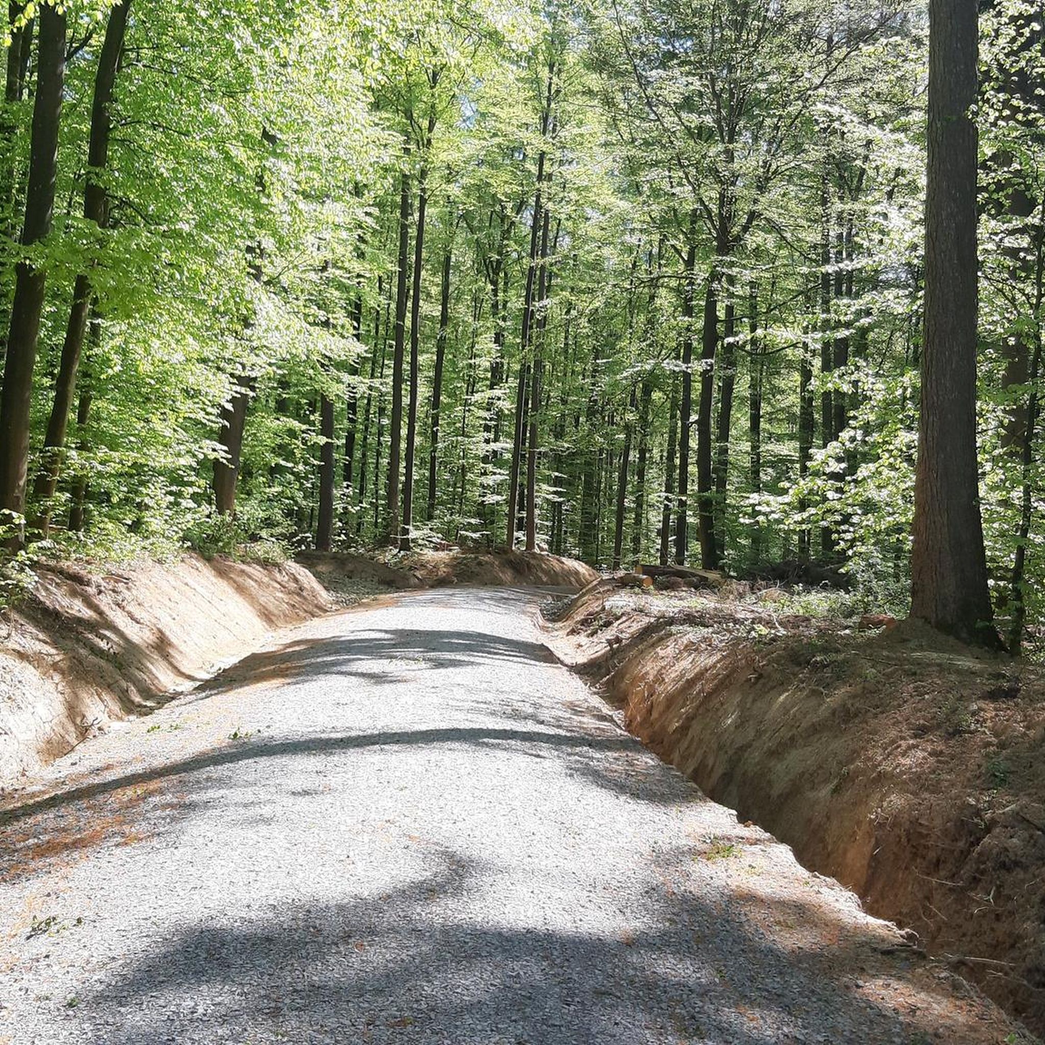

Tips from the Community


A wonderful spot for a quiet break under the protection of a rock with a roof… great view is included for free
10
0

The small rest area is equipped with two benches and a table with an old stone slab
2
0

At the Katzenbuckelturm, the highest point in the Odenwald, there's an idyllic rest area that offers hikers a well-deserved break. Here, you'll find several seating areas perfect for enjoying the impressive view and recharging your batteries.
10
0
Are there several benches
2
1

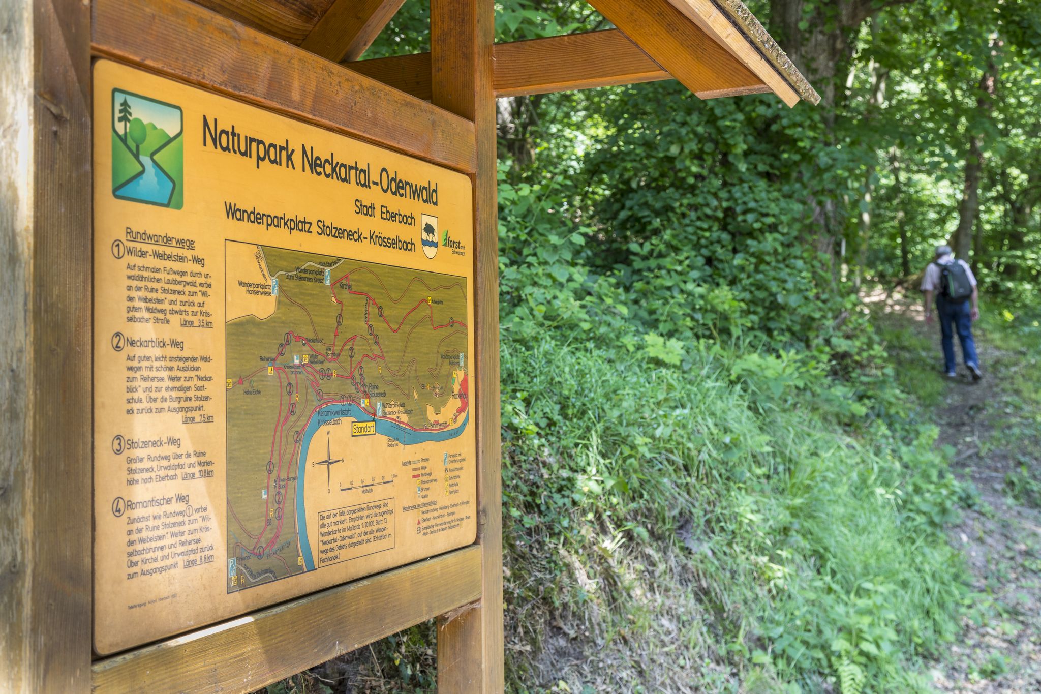
Waypoint to the church and Stolzeneck Castle.
6
0

If you've had enough of the view, you can take a break at one of the several benches.
2
0
Frequently Asked Questions
What types of mountaineering routes can I find around Lobbach?
The mountaineering routes around Lobbach primarily feature moderate to difficult trails. They often traverse varied landscapes including dense woodlands, rolling hills, and areas with historical castle ruins. You'll encounter significant elevation changes on many routes, providing a good physical challenge.
Are there any circular mountaineering routes in the Lobbach area?
Yes, several routes are designed as loops. For example, the Eberbach castle ruins – Emichsburg Ruins loop from Eberbach is a challenging 22.3 km circular tour. Another popular option is the moderate Haager Tal loop from Lobbach, which is about 9.6 km long.
What historical sites or natural landmarks can I see along the mountaineering routes?
The region is rich in historical sites and natural beauty. Many routes connect various castle ruins. For instance, the Stolzeneck Castle Ruins – Heron Lake loop from Burg Stolzeneck combines historical ruins with natural features like Heron Lake. You can also explore highlights such as the Hinterburg Ruins (Neckarsteinach) or the Dilsberg Fortress, which are part of the broader regional attractions.
Are there any routes that feature waterfalls or gorges?
While the immediate routes listed don't explicitly highlight waterfalls, the broader region around Lobbach is known for its gorges. You can find natural attractions like the Wolf Gorge Waterfalls (Odenwald) or the Klingenbächle Waterfalls and Stone Bridge on the Mörtelstein Nature Trail within a reasonable distance.
Are there any less frequented mountaineering paths around Lobbach?
For a quieter experience, consider routes that venture deeper into the forested areas away from the more popular castle ruins. The View of Eberbach – Old Seed School loop from Eberbach offers a moderate challenge through scenic landscapes that might be less crowded than routes directly connecting major historical sites.
What is the best time of year for mountaineering in Lobbach?
The varied landscape of Lobbach, with its woodlands and rolling hills, makes it suitable for mountaineering during spring, summer, and autumn. Spring offers blooming nature, summer provides longer daylight hours, and autumn showcases vibrant foliage. Winter mountaineering is possible, but conditions can vary, and some paths might be slippery or require appropriate gear.
Are there any challenging mountaineering routes for experienced hikers?
Yes, for those seeking a significant challenge, the Eberbach castle ruins – Emichsburg Ruins loop from Eberbach is classified as difficult. It covers 22.3 km with over 600 meters of elevation gain, requiring good stamina and experience.
Can I find cafes or pubs near the mountaineering routes in Lobbach?
While specific cafes are not listed for each trailhead, routes that start or pass through towns like Eberbach or Lobbach itself will offer opportunities for refreshments. It's advisable to check local amenities in these towns before or after your tour.
What do other mountaineers say about the routes in Lobbach?
The mountaineering routes in Lobbach are highly regarded by the komoot community, holding an average score of 5.0 stars from 4 reviews. Users often praise the combination of historical sites, varied terrain, and the natural beauty of the Rhein-Neckar-Kreis region.
Are there any mountaineering routes that offer scenic viewpoints?
Many routes in the Lobbach area traverse rolling hills and open sections, providing excellent views of the surrounding valleys and the Neckar River. The Rockenau Lock and Weir – Stolzeneck Castle Ruins loop from Eberbach, for example, offers diverse scenery that includes river views and historical landmarks, likely providing several scenic spots.
Are permits required for mountaineering in the Lobbach region?
Generally, permits are not required for day mountaineering on marked trails in the Lobbach region. However, it's always good practice to respect local regulations, especially concerning nature reserves or private land. No specific permit requirements are noted for the routes in this guide.
Most popular routes around Lobbach
Most popular attractions around Lobbach

Get inspired with the komoot mobile app


Explore more
Browse the best Mountain Hikes & Routes in other regions.
