The best mountain hikes around Ottersweier
4.6
(69)
213
hikers
14
hikes
Mountaineering around Ottersweier offers a diverse landscape for exploration. The region, situated in the northern Black Forest, is characterized by dense woodlands, rolling hills, and deep valleys. Notable features include the Edelfrauengrab Waterfalls and the challenging Karlsruher Grat. These physical attributes provide varied terrain suitable for different levels of mountaineering experience.
Best mountaineering routes around Ottersweier
- The most popular mountaineering route is Edelfrauengrab Waterfalls – Edelfrauengrab Waterfalls loop from Gottschlägtal - Karlsruher Grat, a 5.4 miles (8.7 km) trail…
Last updated: October 5, 2026
4.7
(30)
77
hikers
Hard mountaineering route. Good fitness required. Sure-footedness, sturdy shoes and alpine experience required.
5.0
(3)
19
hikers
Hard mountaineering route. Good fitness required. Sure-footedness, sturdy shoes and alpine experience required.

5.0
(6)
16
hikers
Hard mountaineering route. Good fitness required. Sure-footedness, sturdy shoes and alpine experience required.
5.0
(2)
8
hikers
Moderate mountaineering route. Great for any fitness level. Mostly accessible paths. Sure-footedness required.
5.0
(1)
4
hikers
20.7km
07:31
1,190m
1,190m
Hard mountaineering route. Very good fitness required. Sure-footedness, sturdy shoes and alpine experience required.
Get access to more routes and recommendations from other explorers.
Already have an account?
Our route recommendations are based on thousands of hikes, rides, and runs completed by other people on komoot.
Start today with a free account
Your next adventure awaits.
Popular around Ottersweier
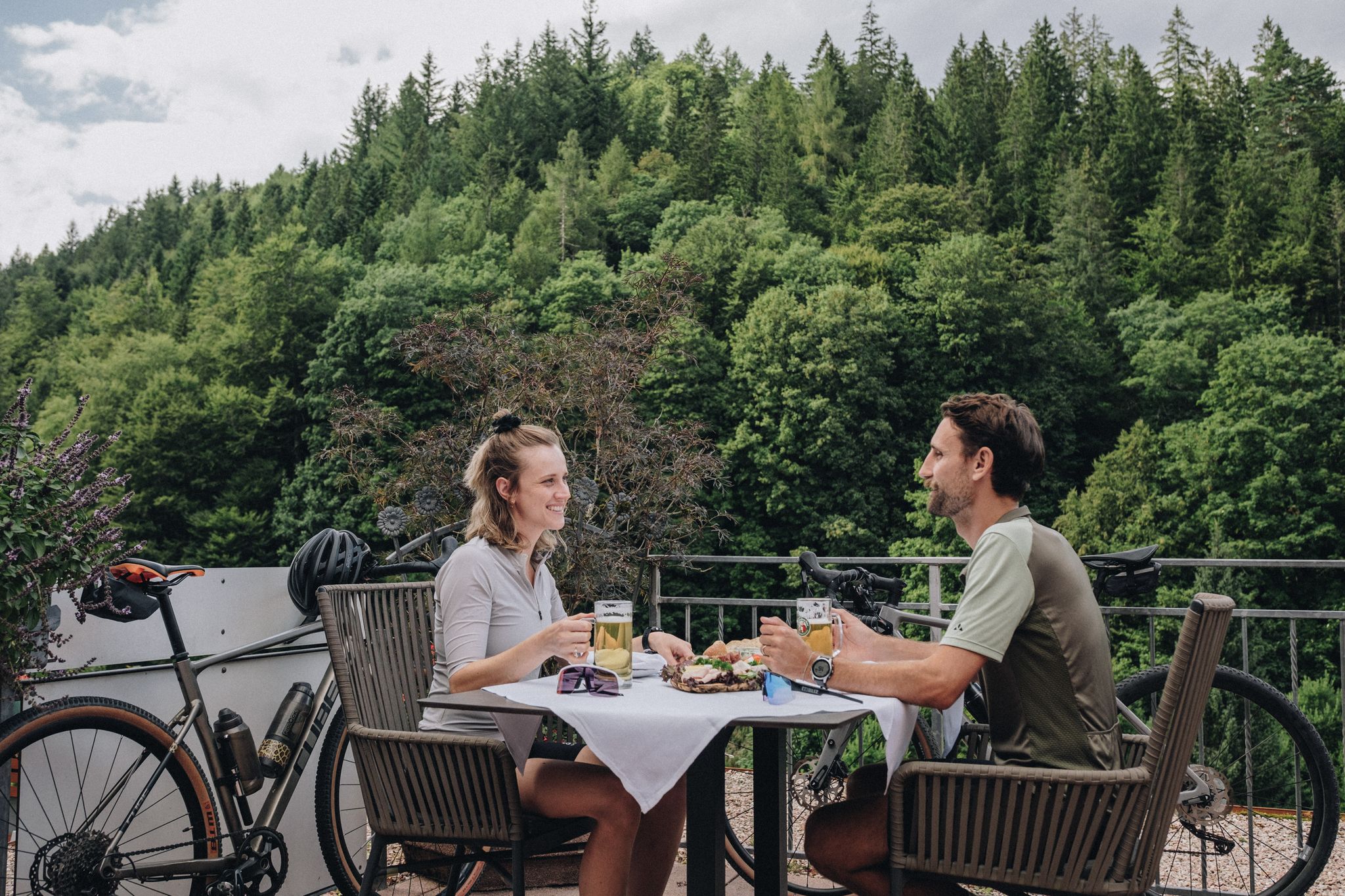
Feast, ride and discover – cycling and pleasure in the Black Forest

Hikes to seasonal taverns along the Baden Wine Route in Germany
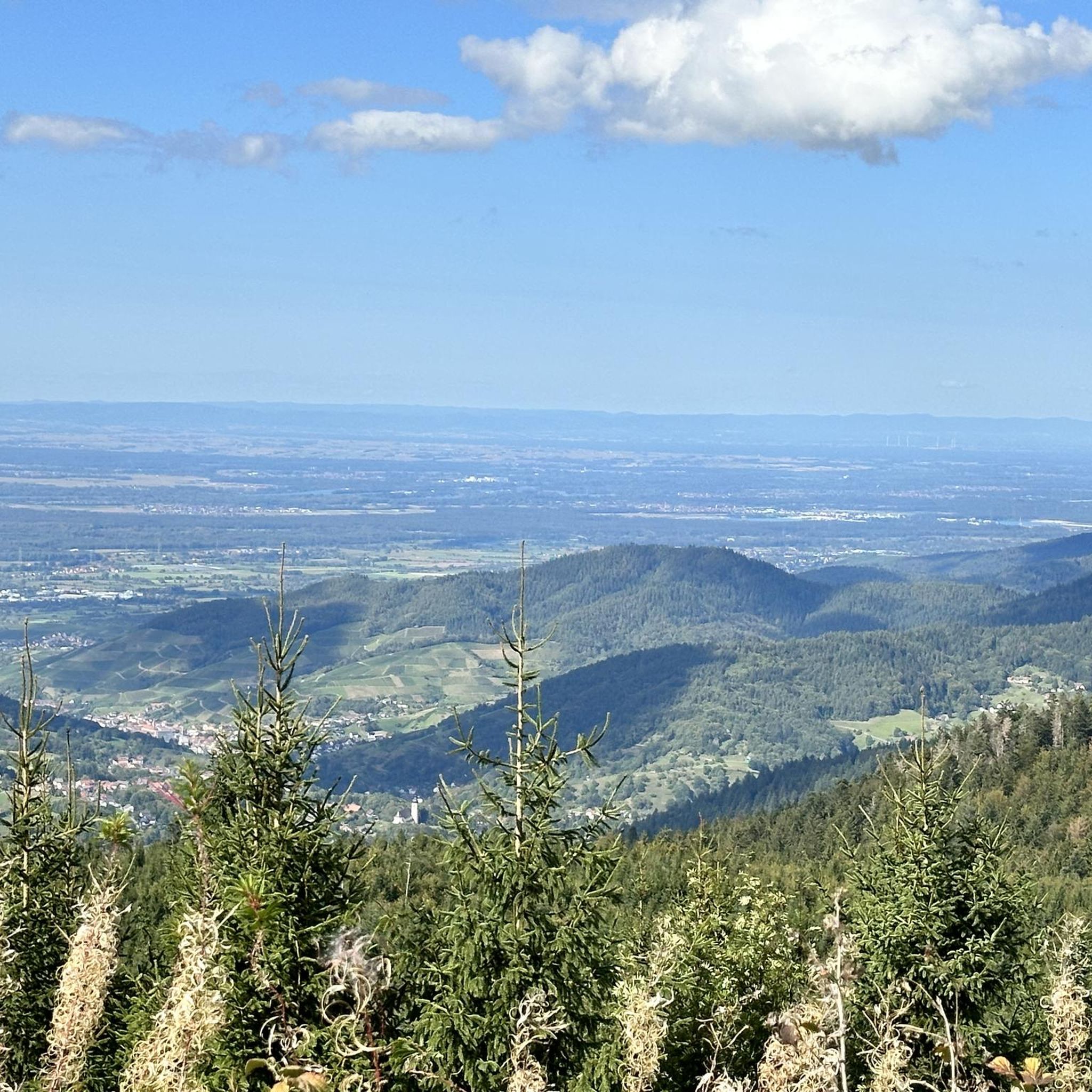
Cycling around Ottersweier
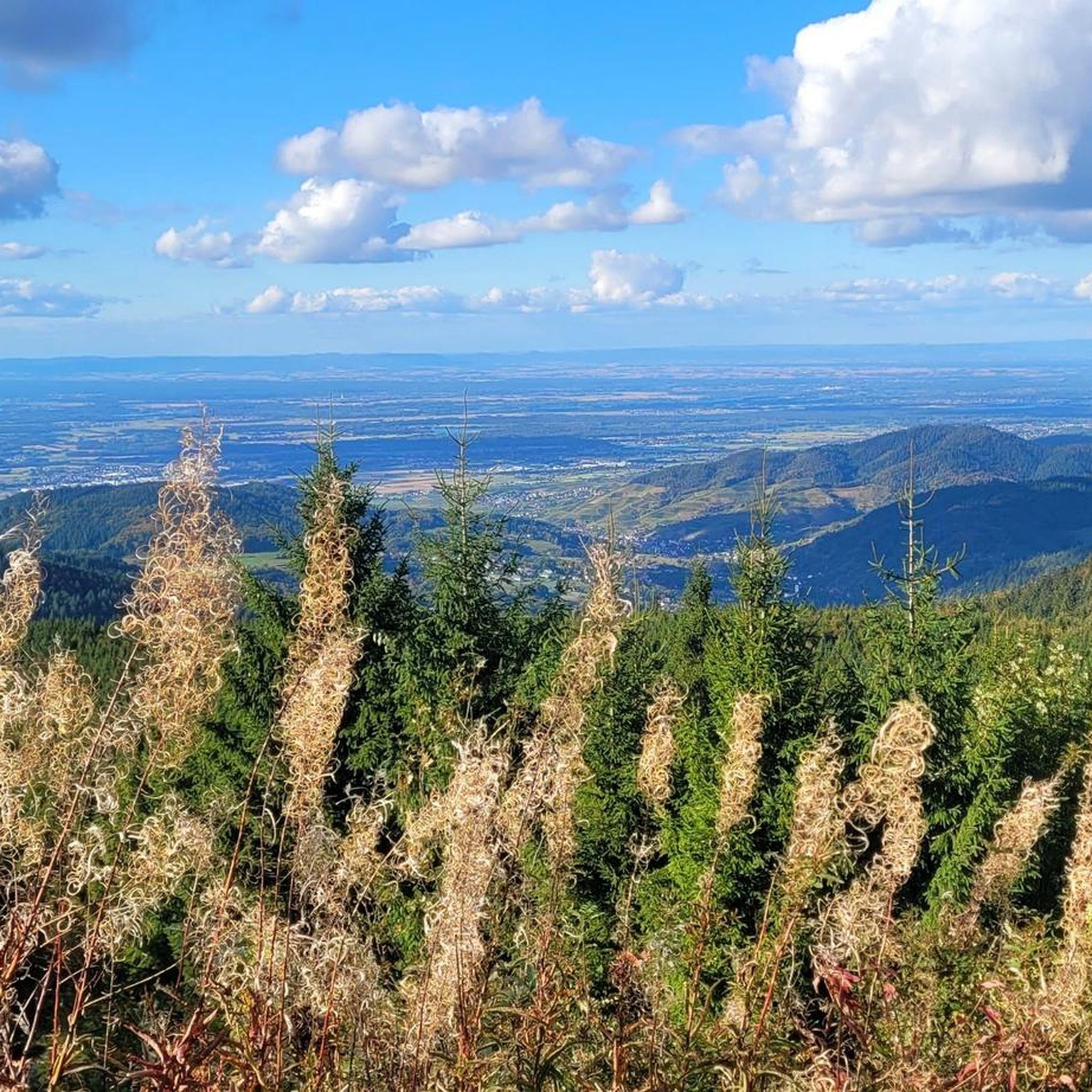
Hiking around Ottersweier
Road Cycling Routes around Ottersweier
Running Trails around Ottersweier

Gravel biking around Ottersweier
MTB Trails around Ottersweier


Tips from the Community

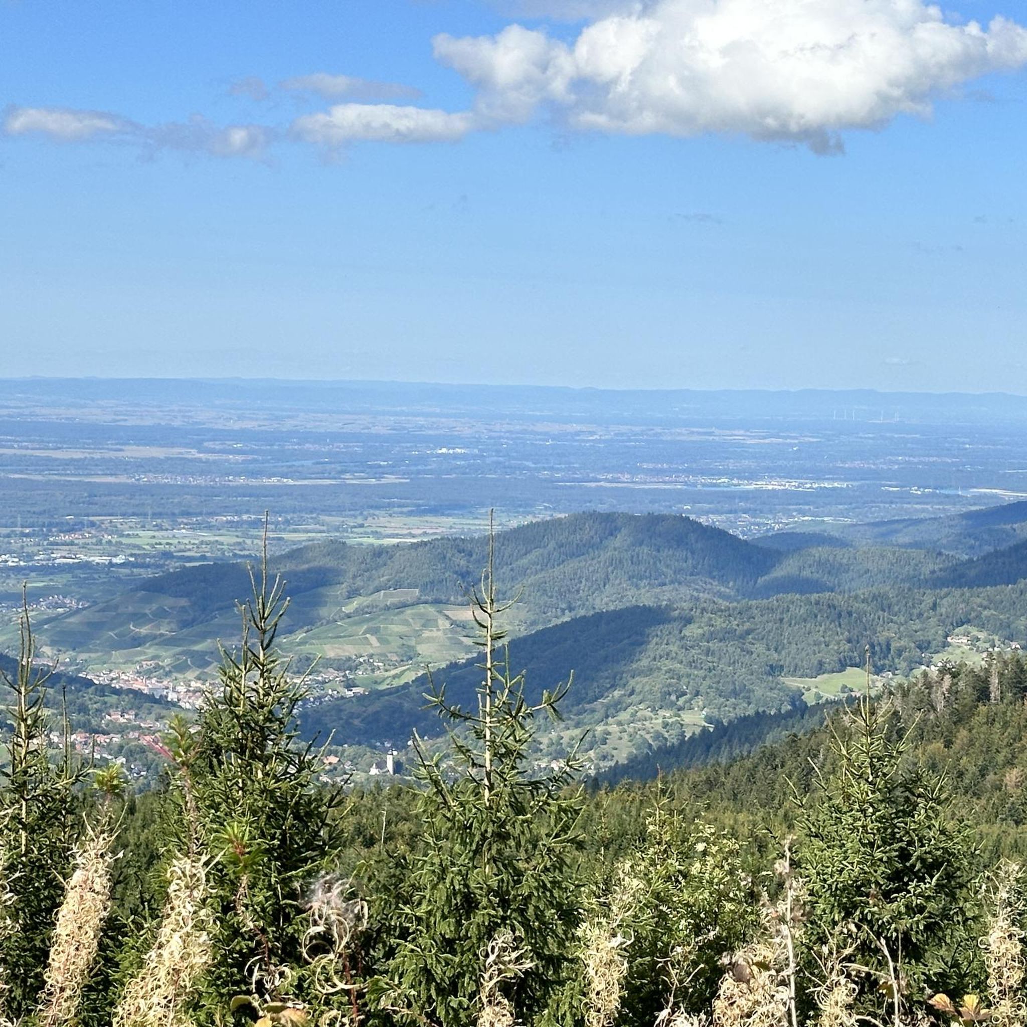
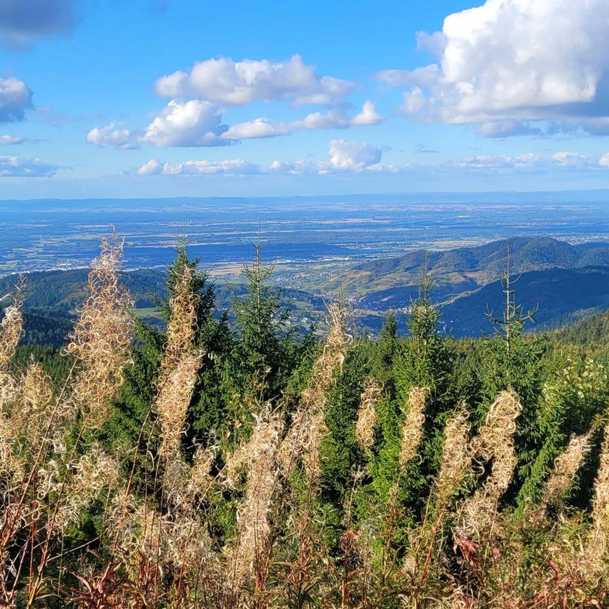
On a sunny day, you have a beautiful view from the Hornisgrinde - towards the north.
7
0

Coming from the west, the first point with a great view and also easily accessible from the west - the difficult sections come further east.
0
0
Schnappsbrunnen with a smaller selection, but certainly lovingly made. Cooling is not done electrically but with cold (spring?) water flowing between the drink crates.
0
0

During the "Seebach - Hornisgrinde-MTB Panoramatour", here was a welcome opportunity for a refreshing drinking break. The Grinde-Hütte is characterized by its attractive scenic location and a very inviting and friendly area, which also offers gastronomic services.
1
0

a must if you like drinking schnapps
0
0
very nice wide view
1
0

a beautiful place to recharge
0
0

Really beautiful viewpoint, worth the hike
2
0
Frequently Asked Questions
How many mountaineering routes are available around Ottersweier?
There are over 10 distinct mountaineering routes around Ottersweier, offering a variety of experiences. These include routes ranging from moderate ascents to more challenging, longer trails.
Are there any easy mountaineering routes suitable for beginners in Ottersweier?
Yes, there is at least one easy mountaineering route available. Additionally, several moderate routes, such as the Bismarck Tower on Hornisgrinde – Mummelsee loop from Hornisgrinde-Biberkessel, offer a good introduction to the region's terrain without being overly strenuous.
What are some challenging mountaineering trails in the Ottersweier area?
For those seeking a challenge, Ottersweier offers several difficult routes. The Edelfrauengrab Waterfalls – Herrenschrofen Rock Formation loop from Hornisgrinde-Biberkessel is a demanding 20.6 km trail with significant elevation gain. Another difficult option is the Mummelsee – Hornisgrinde Tower loop from Seebach, which covers 16.3 km.
What kind of natural attractions can I expect to see along the mountaineering routes?
The routes around Ottersweier are rich in natural beauty. You can explore stunning waterfalls like the Edelfrauengrab Waterfalls and the Gaishöll Waterfalls. The region also features picturesque lakes such as the Mummelsee and the Wild lake, as well as impressive rock formations and dense Black Forest woodlands.
Are there any circular mountaineering routes available?
Yes, many of the mountaineering routes around Ottersweier are designed as loops. For example, the popular Edelfrauengrab Waterfalls – Edelfrauengrab Waterfalls loop from Gottschlägtal - Karlsruher Grat is a circular trail, as is the Hornisgrinde Summit – Mummelsee loop from Unterstmatt.
What is the best season for mountaineering in Ottersweier?
The best season for mountaineering in the northern Black Forest, including Ottersweier, is typically from late spring through early autumn (May to October). During this period, the weather is generally mild, trails are clear of snow, and the forest is lush. Always check local weather forecasts before heading out.
Are the mountaineering routes around Ottersweier dog-friendly?
Many trails in the Black Forest region are dog-friendly, but it's always advisable to keep dogs on a leash, especially in nature reserves or near wildlife. Be mindful of any specific signage on individual routes. Ensure your dog is fit for the chosen trail's difficulty and distance, and carry enough water for both of you.
What do other mountaineers enjoy most about the routes in Ottersweier?
The mountaineering routes in Ottersweier are highly rated by the komoot community, with an average score of 4.8 stars from over 50 reviews. Reviewers often praise the diverse landscape, including scenic waterfalls and challenging rock formations, as well as the well-maintained trails through dense woodlands.
Where can I find parking for mountaineering trails in Ottersweier?
Parking is generally available at common trailheads and popular starting points for routes in the Black Forest. For specific routes, such as those starting near Hornisgrinde-Biberkessel or Gottschlägtal, designated parking areas are usually provided. It's recommended to check the route details on komoot for specific parking information before your trip.
Are there any routes that feature the Karlsruher Grat?
Yes, the Edelfrauengrab Waterfalls – Edelfrauengrab Waterfalls loop from Gottschlägtal - Karlsruher Grat specifically includes sections of the challenging Karlsruher Grat, known for its rugged terrain and impressive rock formations.
What are the longest mountaineering routes in the Ottersweier area?
Among the longer routes, the Edelfrauengrab Waterfalls – Herrenschrofen Rock Formation loop from Hornisgrinde-Biberkessel stands out at 20.6 km. Another substantial option is the Mummelsee – Hornisgrinde Tower loop from Seebach, which is 16.3 km long.
Most popular routes around Ottersweier
Most popular attractions around Ottersweier

Get inspired with the komoot mobile app


Explore more
Browse the best Mountain Hikes & Routes in other regions.
