The best running trails around Tiefenbronn
3.9
(33)
430
runners
34
runs
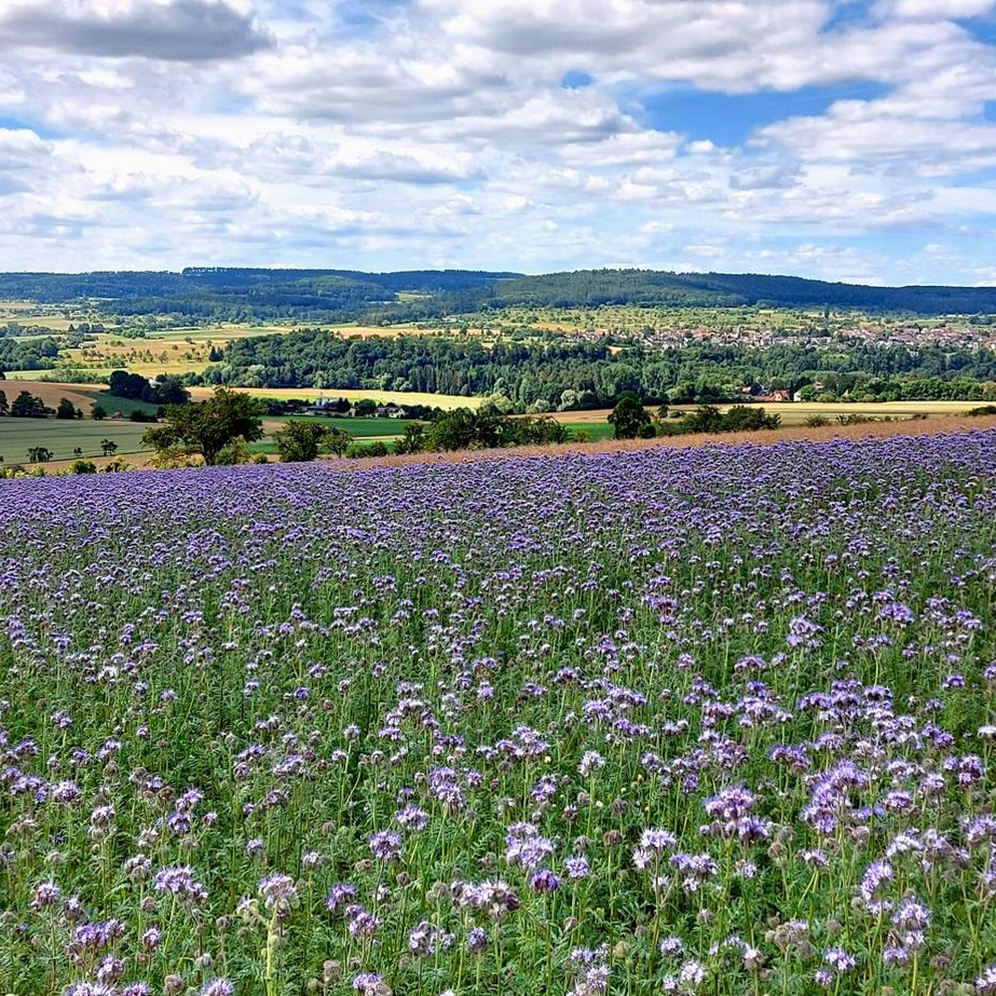
Jogging around Tiefenbronn offers diverse natural landscapes, from extensive forest areas to unique karstified limestone hills and picturesque river valleys along the Würm River. The region's varied topography provides engaging and scenic routes for runners. A comprehensive network of well-signposted trails, many suitable for jogging, ensures accessibility for various fitness levels.
Best jogging routes around Tiefenbronn
- The most popular jogging route is Running loop from Silberberg, a 3.9 miles (6.3 km) trail that takes about 40 minutes to complete.…
Last updated: October 11, 2026
3.4
(10)
59
runners
6.28km
00:40
70m
70m
Moderate run. Good fitness required. Mostly paved surfaces. Suitable for all skill levels.
21
runners
35.2km
03:58
430m
430m
Hard run. Very good fitness required. Mostly paved surfaces. Suitable for all skill levels.

3.0
(2)
23
runners
Easy run. Great for any fitness level. Mostly paved surfaces. Suitable for all skill levels.
5.0
(3)
12
runners
Moderate run. Good fitness required. Mostly paved surfaces. Suitable for all skill levels.
4.7
(3)
20
runners
Moderate run. Good fitness required. Mostly paved surfaces. Suitable for all skill levels.
Get access to more routes and recommendations from other explorers.
Already have an account?
Our route recommendations are based on thousands of hikes, rides, and runs completed by other people on komoot.
Start today with a free account
Your next adventure awaits.
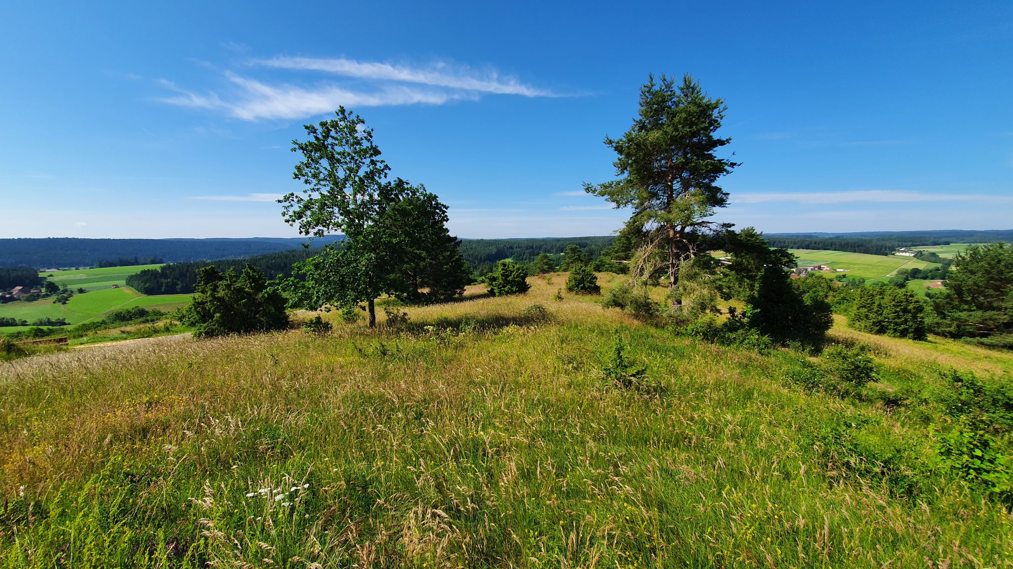
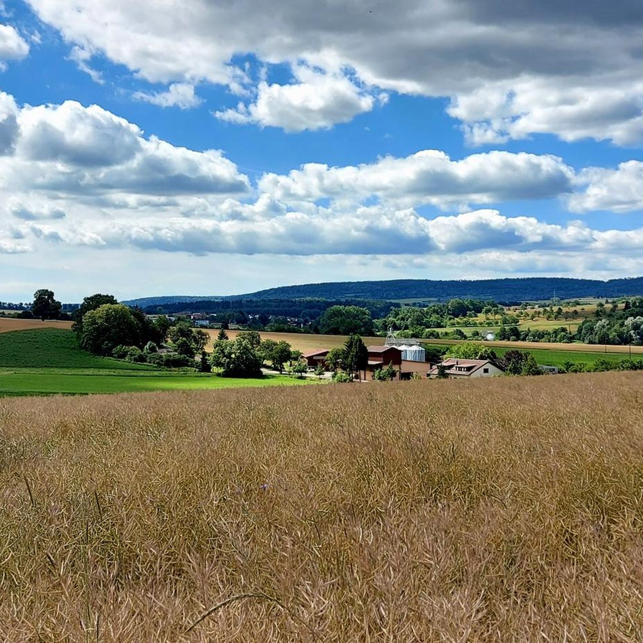
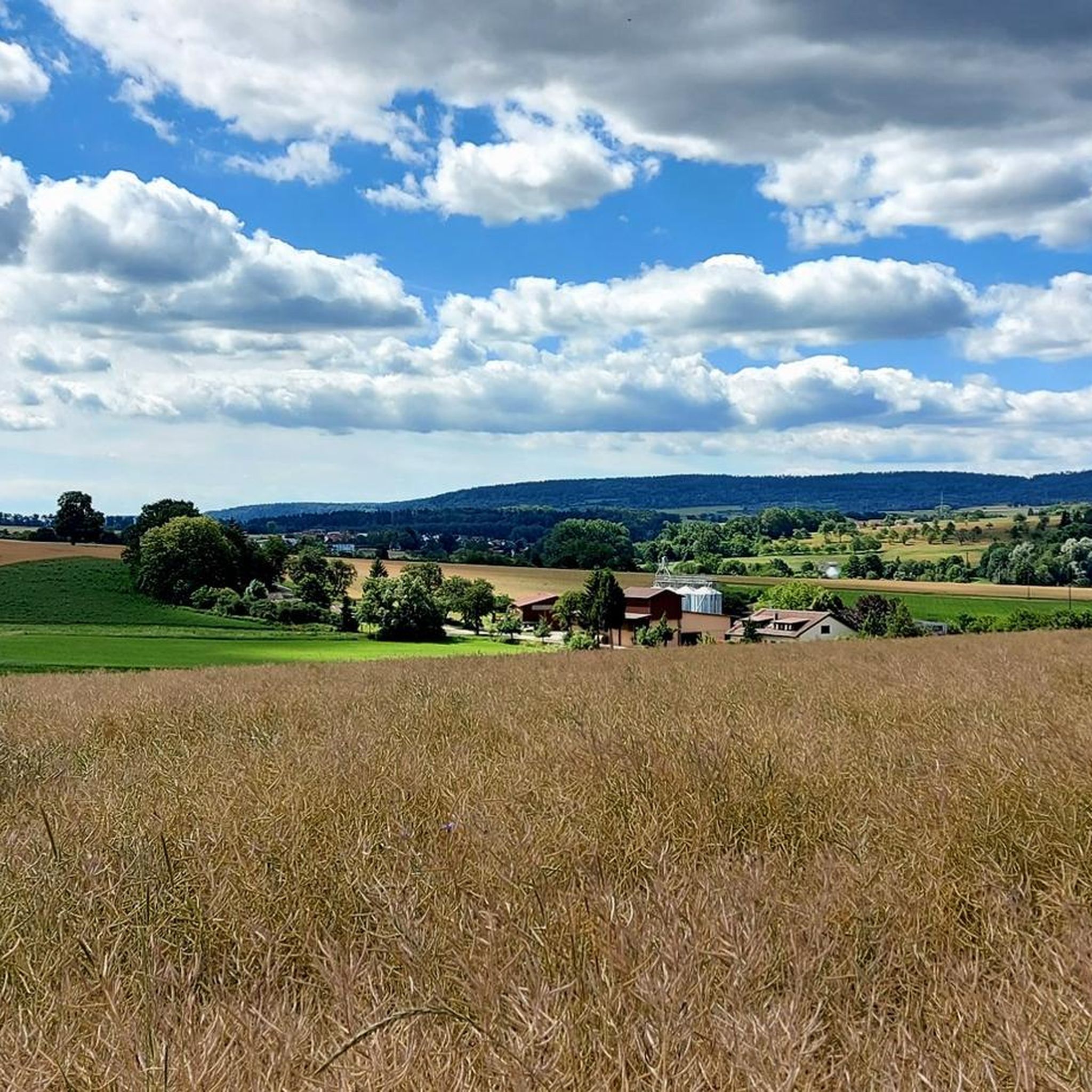
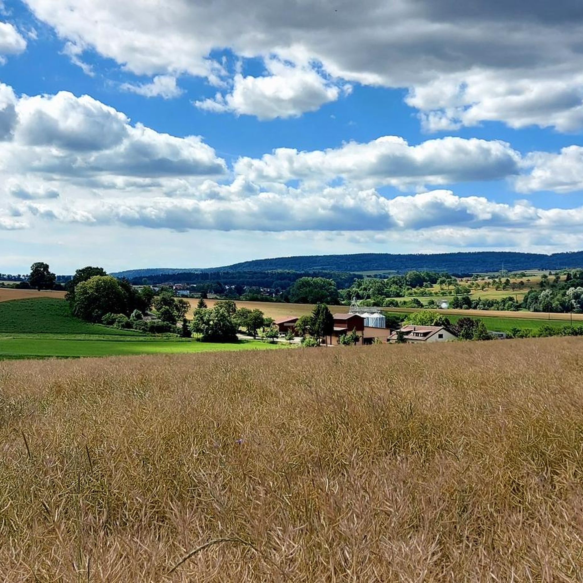
Other adventures around Tiefenbronn

Tips from the Community

…If you know where it is, you can cross it too 😜
0
0
I think I even heard a 🐸 while driving by. 😁
0
0

On this route, some boundary stones can be seen
0
0


Sheltered seating area from wind and weather
2
0
Pigs are allowed to grow up here again and again.
1
0

Wild garlic...mm mm to pick...... mmmmmmm
0
0

Here the cycle and footpath runs under the road.
0
0
Frequently Asked Questions
How many running routes are available around Tiefenbronn, and what are their difficulty levels?
Tiefenbronn offers nearly 30 diverse running routes. The majority are classified as moderate (23 routes), providing engaging terrain. For those seeking a gentler pace, there are 3 easy routes, and for experienced runners, 3 difficult routes are available to challenge themselves.
Are there any easy jogging routes suitable for beginners or a relaxed run?
Yes, Tiefenbronn has several easy jogging routes. One excellent option is the 6.8 km "Jogis Bänkle – Brückendenkmal-Rundweg" mentioned in regional research, which features gentle elevation changes. Another easy path is the 6.9 km "Pfad der Sinne Tiefenbronn – Historischer Grenzstein-Rundweg", perfect for exploring diverse landscapes at a leisurely pace.
What kind of natural landscapes can I expect to see while running in Tiefenbronn?
Jogging in Tiefenbronn offers a rich variety of natural landscapes. You'll encounter extensive forest areas, unique karstified limestone hills, and picturesque river valleys, most notably along the Würm River. The region's varied topography ensures engaging and scenic routes, preventing monotony.
Are there any long-distance running trails in the Tiefenbronn area?
Yes, for those looking for a longer challenge, the Ark Bridge Near Würm – Golden Gate Pforzheim loop from Silberberg is a difficult 34.9 km (21.7 miles) path. This route winds through diverse landscapes, including the scenic Würm River valley, and is a favorite among local runners.
Can I find any routes that pass by interesting landmarks or natural attractions?
Absolutely! Many routes integrate natural and historical sights. For instance, the Path of the Senses Tiefenbronn – Three Giant Sequoias loop from Tiefenbronn leads through local forests and past historical markers. You might also encounter the unique Monbachtal Gorge with its waterfall and stepping stones, offering a more adventurous experience.
Are there any circular running routes around Tiefenbronn?
Yes, many of the running routes in Tiefenbronn are designed as loops, offering convenient circular paths. For example, the popular Running loop from Silberberg is a 6.3 km (3.9 miles) trail that takes about 40 minutes to complete, offering varied terrain through local woodlands.
What do other runners say about the trails in Tiefenbronn?
The running trails in Tiefenbronn are highly rated by the komoot community, with an average score of 4.1 stars from over 20 reviews. Runners often praise the varied terrain, well-maintained paths, and the beautiful natural environment, especially the extensive forest areas and river valleys.
Are there any running routes that offer panoramic views?
Yes, some routes provide splendid views. The "AugenBlick Tiefenbronn-Mühlhausen" (7.4 km) is known for its varying inclines and offers a panoramic southward vista from its highest point, allowing you to take in the beauty of the region.
Are there any running routes that follow the Würm River?
Yes, the Würm River valley is a prominent feature of the region. Routes like the "AugenBlick Tiefenbronn-Mühlhausen" follow the Würm before ascending for panoramic views. Another option is the Hallenbrunnen (Würmtal Spring) – Würmtal Stone Fountain loop from Silberberg, which covers 13.2 km (8.2 miles) along the river.
Can I find running routes that are suitable for families?
Many of Tiefenbronn's trails are generally not overly challenging, making them accessible for various fitness levels, including families. Easy routes like the "Jogis Bänkle – Brückendenkmal-Rundweg" or the "Pfad der Sinne Tiefenbronn – Historischer Grenzstein-Rundweg" are good choices for a family outing, offering pleasant paths and interesting sights without strenuous climbs.
Are there any running routes that pass by historical sites?
Yes, Tiefenbronn's routes often integrate historical elements. The "Johanneskapelle Tiefenbronn – Burg Steinegg-Rundweg" (5.9 km) weaves through woodlands and past historical sites like the Johanneskapelle and Burg Steinegg. The "Pfad der Sinne Tiefenbronn – Historischer Grenzstein-Rundweg" also allows joggers to explore diverse landscapes and historical boundary markers.
What is the best time of year for jogging in Tiefenbronn?
Tiefenbronn offers appealing jogging conditions throughout much of the year. Spring and autumn provide pleasant temperatures and vibrant scenery. Summer is also great, with many routes offering shaded forest sections. Even winter can be enjoyable, with trails often suitable for running, especially in the absence of heavy snow, allowing for tranquil experiences in nature reserves.
Most popular routes around Tiefenbronn
Most popular attractions around Tiefenbronn

Get inspired with the komoot mobile app


Explore more
Browse the best Running Trails & Routes in other regions.
